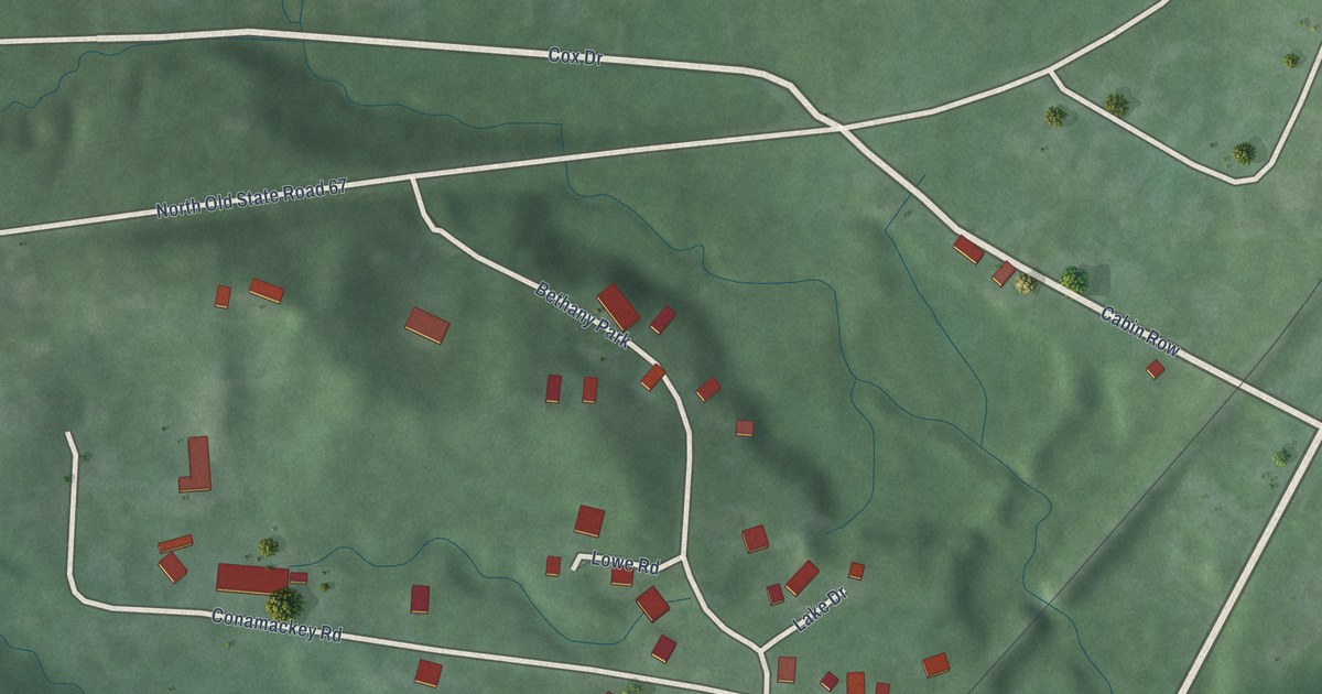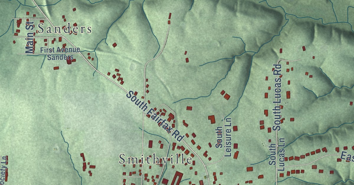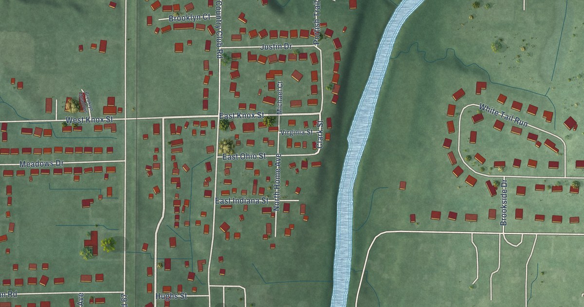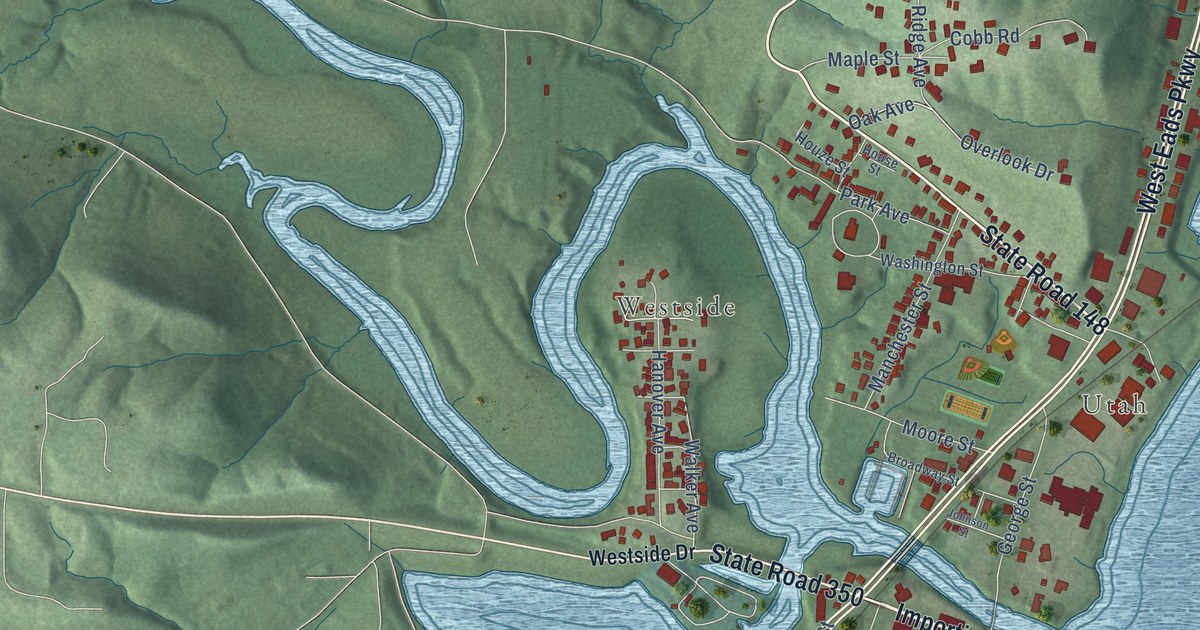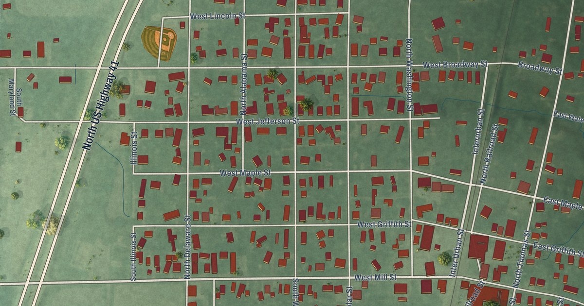
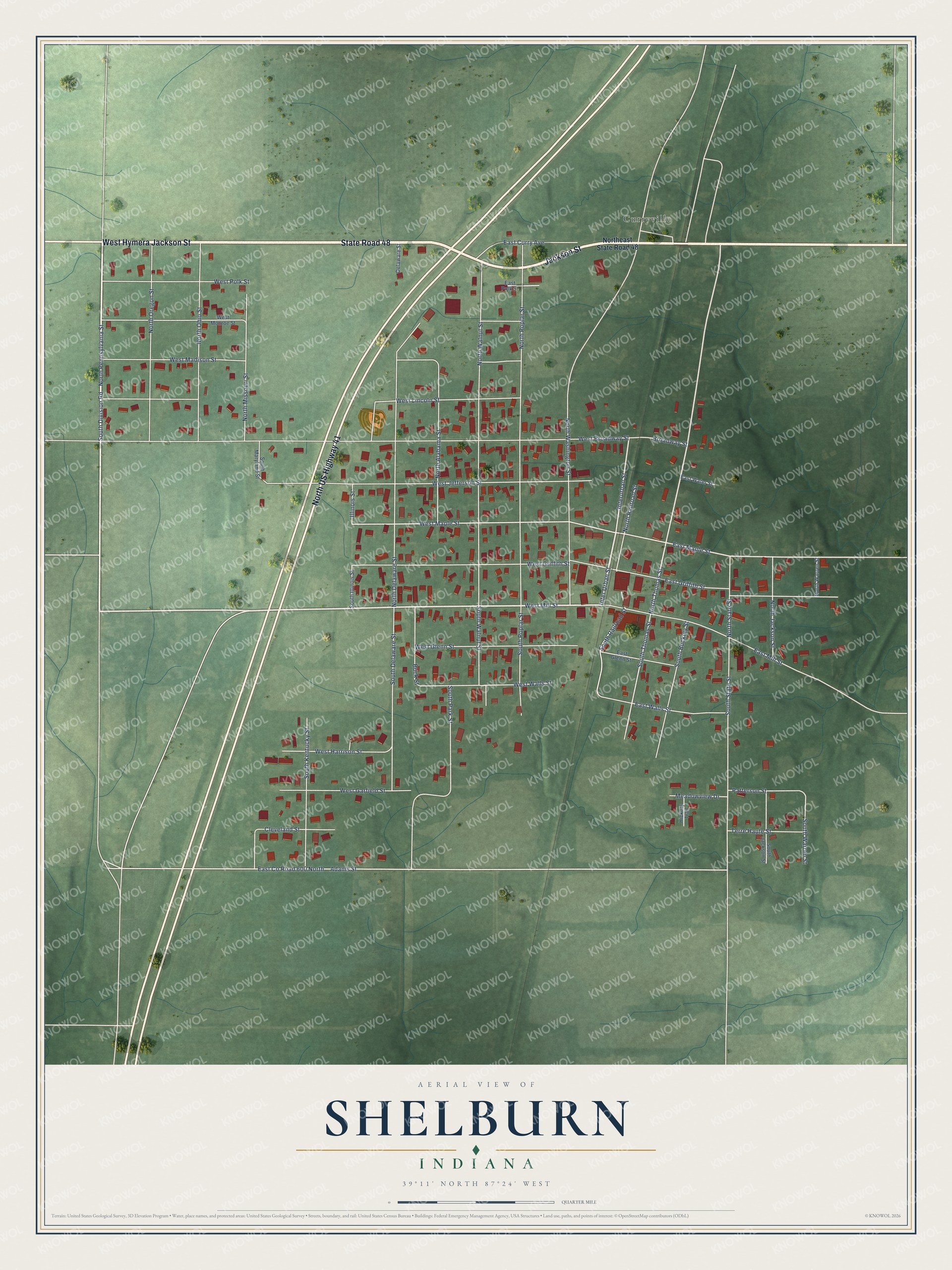
This beautifully detailed map of Shelburn, Indiana was created in 2026 using aerial imagery combined with modern topographical, census, street and landmark data. It’s a one-of-a-kind view of Shelburn that combines accurate data with a vintage aesthetic. The map shows every building in its true location, many of the roads carry their names, and the shaded topographic relief shows the shape of the land.
Explore an aerial view of Shelburn, Indiana
On the map you’ll find Curryville, along with West Hymera Jackson Street, Jackson Street, State Road 48, North US Highway 41, North Pennsylvania Street, South Division Road, West Mill Street, Inter Urban Street, North Thomas Street, West Maple Street, and more. If you look closely you can even find your house accurately drawn in its correct location. Zoom in on the preview to look for yours.
Did you know this piece of Shelburn, Indiana history?
Shelburn takes its name from Paschal Shelburn, the man who founded the town. Its post office opened in 1861 and still serves residents. On May 21, 1949, a powerful F4 tornado struck the northwest side of town. It killed 14 people and wrecked 160 homes.
Take a closer look at the Shelburn map
Street and place names on the Shelburn, Indiana map
These names are printed on the map of Shelburn, Indiana.
Places: Curryville.
Streets and roads: West Hymera Jackson Street, Jackson Street, State Road 48, North US Highway 41, North Pennsylvania Street, South Division Road, West Mill Street, Inter Urban Street, Interurban Street, North Thomas Street, West Maple Street, East Maple Street.
More street names, A to Z
Adams Street, Broadway Street, Buck Street, Cleveland Street, Delaware Street, East County Road 600 North, East Curry Avenue, East Glenn Street, East Griffith Street, East Mill Street, East Polk Street, East Walls Street, East Water Street, Hickory Trail, Illinois Street, Meadowview Drive, North Alabama Street, North Delaware Street, Northeast State Road 48, North Jackson Street, North Missouri Street, North Ohio Street, North Oregon Street, North Poplar Street, North Railroad Street, North State Street, North Walnut Street, North Warren Street, North Washington Street, Patterson Street, South Buckley Street, South Delaware Street, South Illinois Street, South Jackson Street, South Kentucky Street, South Maryland Street, South Park Street, South Poplar Street, South Railroad Street, South State Street, South Thomas Street, South Walnut Street, South Warren Street, Terre Haute Street, West Broadway Street, West Garfield Street, West Glenn Street, West Griffith Street, West Harrison Street, West Jefferson Street, West Lincoln Street, West Madison Street, West Monroe Street, West Polk Street, West Walls Street.
See the Shelburn, Indiana map on a wall
The Shelburn map as an 18 x 24 inch print in a black frame.

This beautifully detailed map of Shelburn makes an attractive addition to your office, library, or den, and it can even be used to teach children the geography and history of the area. It also makes a great gift for anyone who grew up in Shelburn or moved away. When you’re done exploring, click here to get your copy of the Shelburn map.