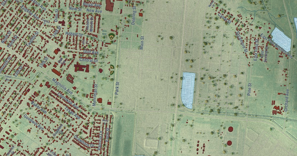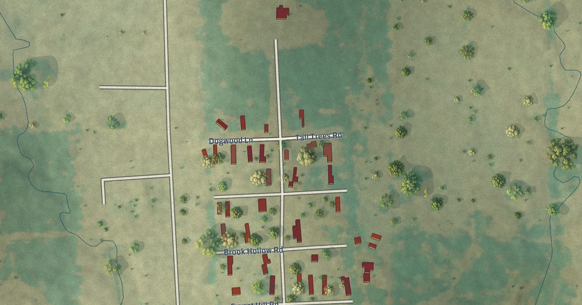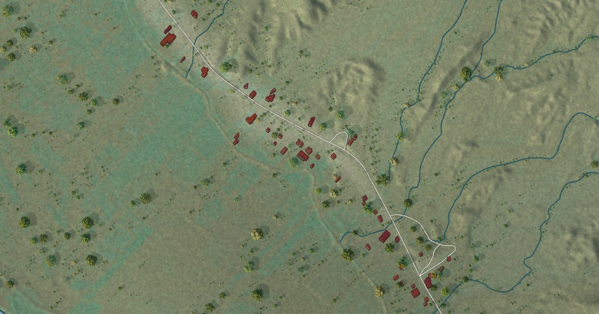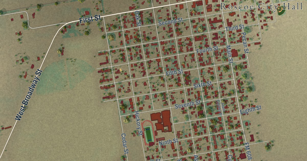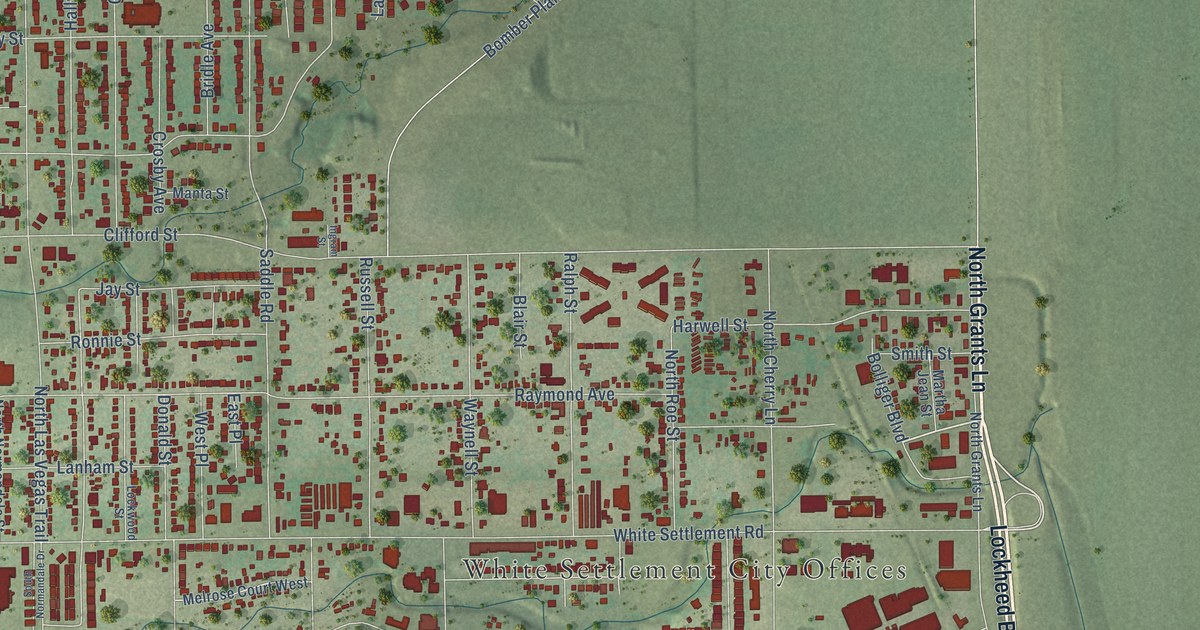
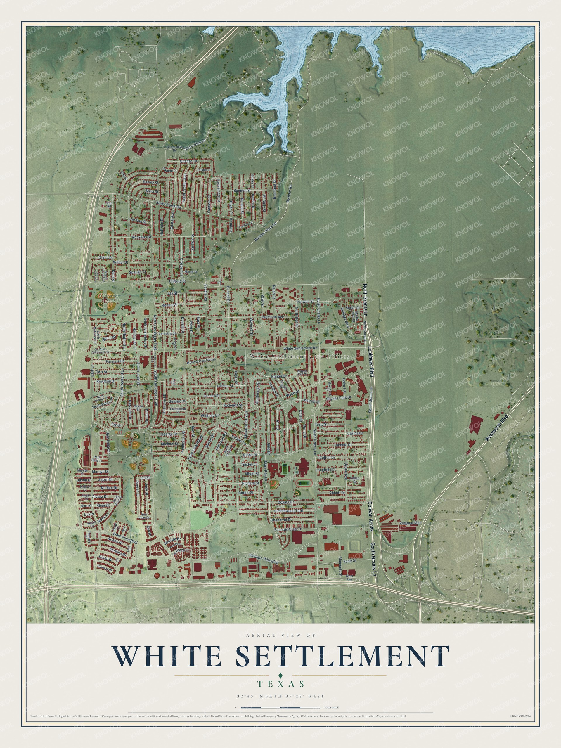
This beautifully detailed map of White Settlement, Texas was created in 2026 using aerial imagery combined with modern topographical, census, street and landmark data. It’s a one-of-a-kind view of White Settlement that combines accurate data with a vintage aesthetic. The map shows every building in its true location, many of the roads carry their names, and the shaded topographic relief shows the shape of the land.
Explore an aerial view of White Settlement, Texas
On the map you’ll find White Settlement City Offices, Veteran’s Park, and Convair Acces, along with Lockheed Boulevard, North Grants Lane, South Grants Lane, Westworth Boulevard, Bolliger Boulevard, White Settlement Road, Dale Lane, Bourland Drive, Hallvale Drive, and more. If you look closely you can even find your house accurately drawn in its correct location. Zoom in on the preview to look for yours.
Did you know this piece of White Settlement, Texas history?
From the Handbook of Texas: "White Settlement is an incorporated residential community just off Interstate Highway 820 at the western edge of Fort Worth in west central Tarrant County."
Take a closer look at the White Settlement map
Street and place names on the White Settlement, Texas map
These names are printed on the map of White Settlement, Texas.
Places: White Settlement City Offices and Veteran's Park.
Streets and roads: Lockheed Boulevard, Convair Acces, North Grants Lane, South Grants Lane, Westworth Boulevard, Bolliger Boulevard, White Settlement Road, Dale Lane, Bourland Drive, Hallvale Drive, Clifford Street, North Las Vegas Trail.
More street names, A to Z
Abbott Drive, Adell Street, Ala Drive, Albert Street, Allencrest Drive, Alyssa Court, Alyssa Drive, Arlene Drive, Barbara Drive, Bennett Street, Blair Street, Bomber Plant Road, Bomber Road, Branch Circle East, Branch Circle West, Bridle Avenue, Carlos Street, Carol Drive, Chaparral Drive, Clements Street, Clyde Street, Collett Drive, Colton Drive, Comal Avenue, Corina Drive, Crandle Drive, Crosby Avenue, Dale Lane Court, Dell Street, Delmar Street, Diane Drive, Donald Street, Doreen Street, Downe Drive, Easley Street, East Place, Emerald Crest Drive, Etta Drive, Farmers Road, Foxfire Lane, Franseri Drive, George Street, Gibbs Drive, Glenn Drive, Grant Circle, Hackamore Street, Hanon Court, Hanon Drive, Harwell Street, Heidi Court, Herbert Drive, Herman Street, Humpries Drive, Hunters Court, Ingram Street, Jason Court, Jason Drive, Jay Street, Jill Street, Joy Drive, Judy Street, June Drive, Kate Street, Kender Lane, Kimbrough Street, Lake View Ridge, Lanham Street, La Plaza Drive, Lariat Lane, Lisa Court, Lockwood Street, Longfield Drive, Manta Street, Marie Court, Marie Lane, Marilyn Court, Marilyn Drive, Mark Court, Marrett Drive, Martha Jean Street, Mary Kay Lane, Max Street, McCully Street, Meadow Park Drive, Melissa Drive, Melrose Court West, Michael Street, Mirike Drive, Moran Street, Myers Drive, Myra Street, Nathan Court, Nathan Drive, North Cherry Lane, North Crosby Avenue, North Dodson Drive, North Judd Street, North McEntire Court, North Normandale Street, North Redford Lane, North Rhea Drive, North Ridge Drive, North Roe Street, Odie Drive, Oels Street, Old White Settlement Road, Omaha Drive, Ontario Drive, Ozona Avenue, Park Dale Lane, Parkside Drive, Pemberton Court, Pemberton Street, Perry Drive, Quebec Drive, Ralph Street, Raymond Avenue, Redonda Street, Renfro Drive, Renfro Street, Rhea Court, Rhea Drive, Richard Street, Ridgmar Mall, Rockway Street, Ronald Street, Ronnie Street, Rowland Drive, Rumfield Road, Russell Street, Saddle Road, Sandell Drive, Scott Street, Shore View Drive, Shoreview Drive, Silver Creek Road, Skyline Park Drive, Smith Street, South Cherry Lane, South Dodson Drive, South Judd Street, South Las Vegas Trail, South Normandale Drive, South Redford Lane, Spaugh Court, Sun Drive, Sun View Drive, Sussex Court, Sussex Street, Tacoma Drive, Terry Street, Tinsley Lane, Toto Road, Tumbleweed Trail, Vaquero Street, Waynell Street, Western Hills Boulevard, West Fwy, Westlake Drive, West Place, West Point Boulevard, Whitney Drive, Wilbur Street, Wilson Cliff Court, Wyatt Drive.
See the White Settlement, Texas map on a wall
The White Settlement map as an 18 x 24 inch print in a black frame.

This beautifully detailed map of White Settlement makes an attractive addition to your office, library, or den, and it can even be used to teach children the geography and history of the area. It also makes a great gift for someone who left White Settlement and still calls it home. When you’re done exploring, click here to get your copy of the White Settlement map.