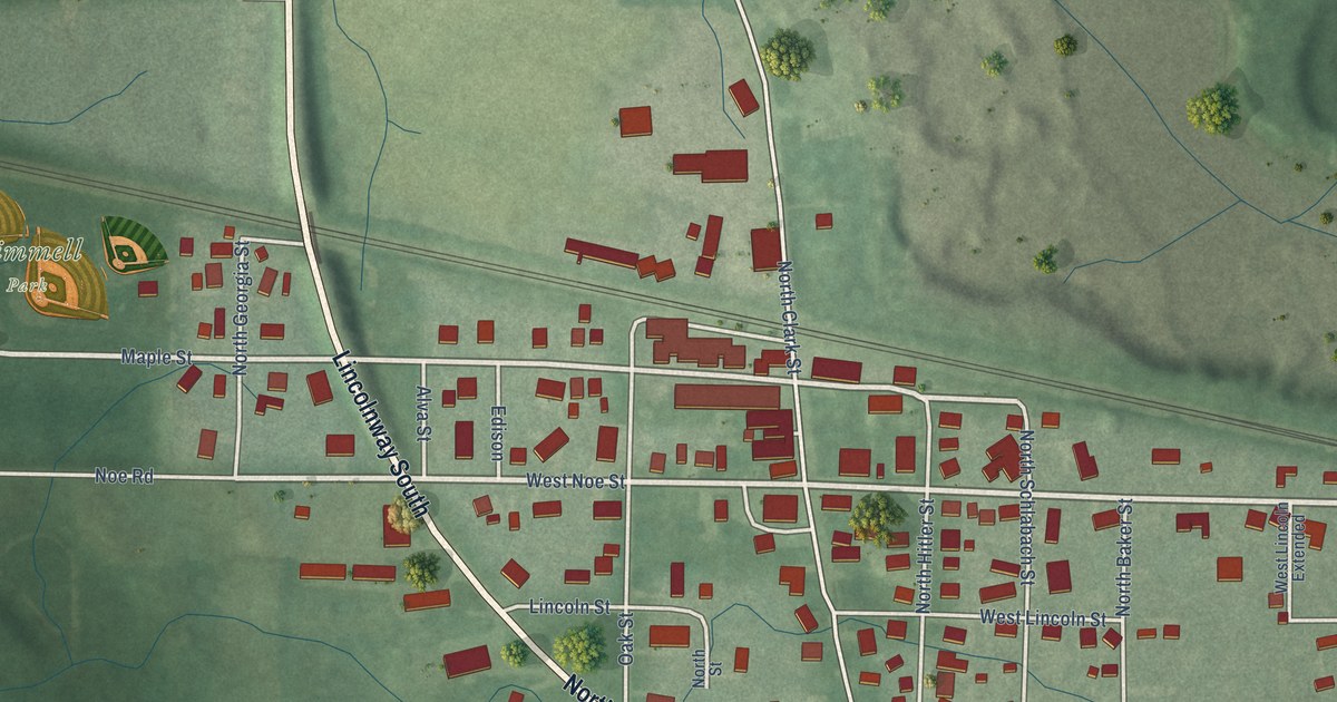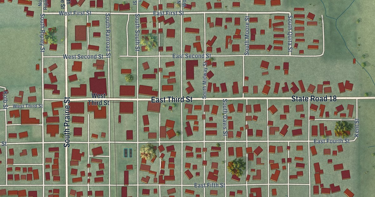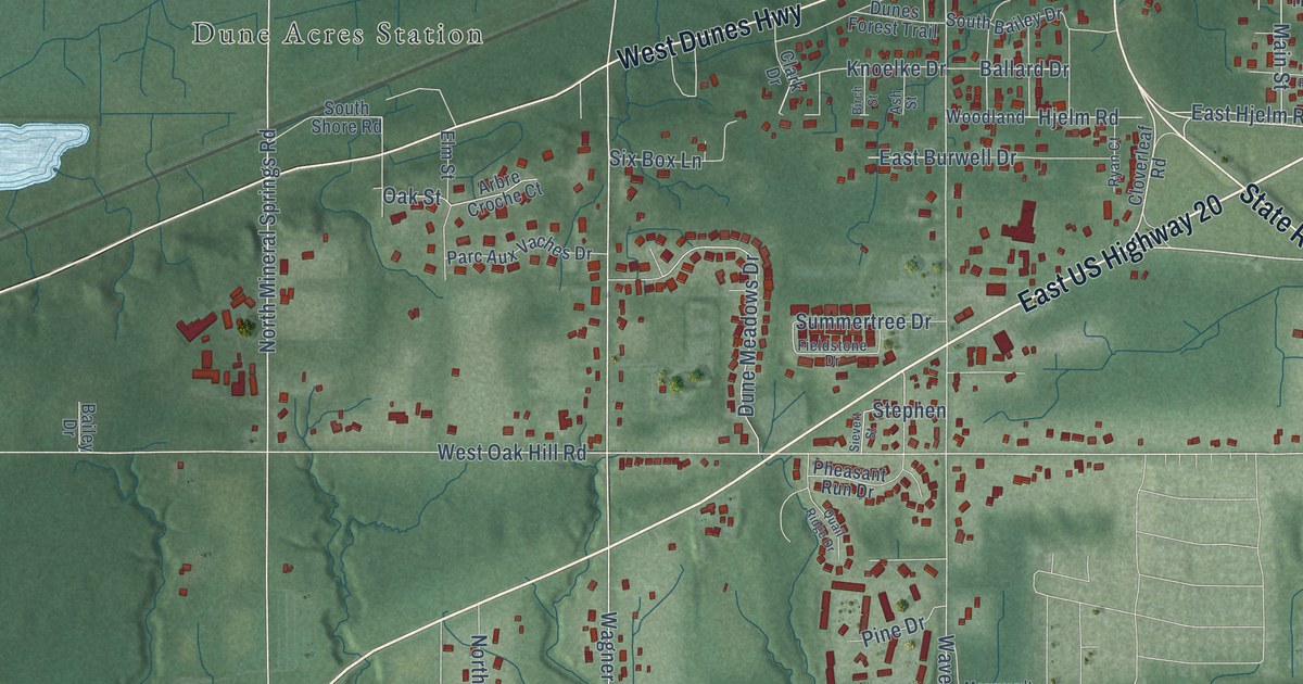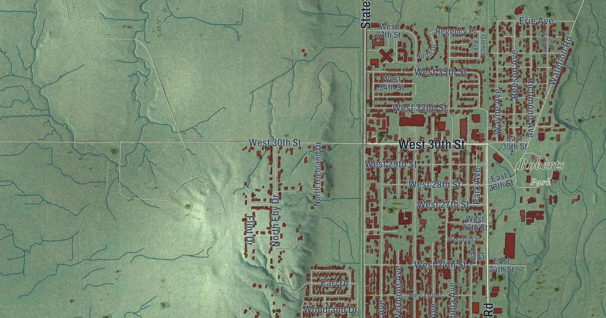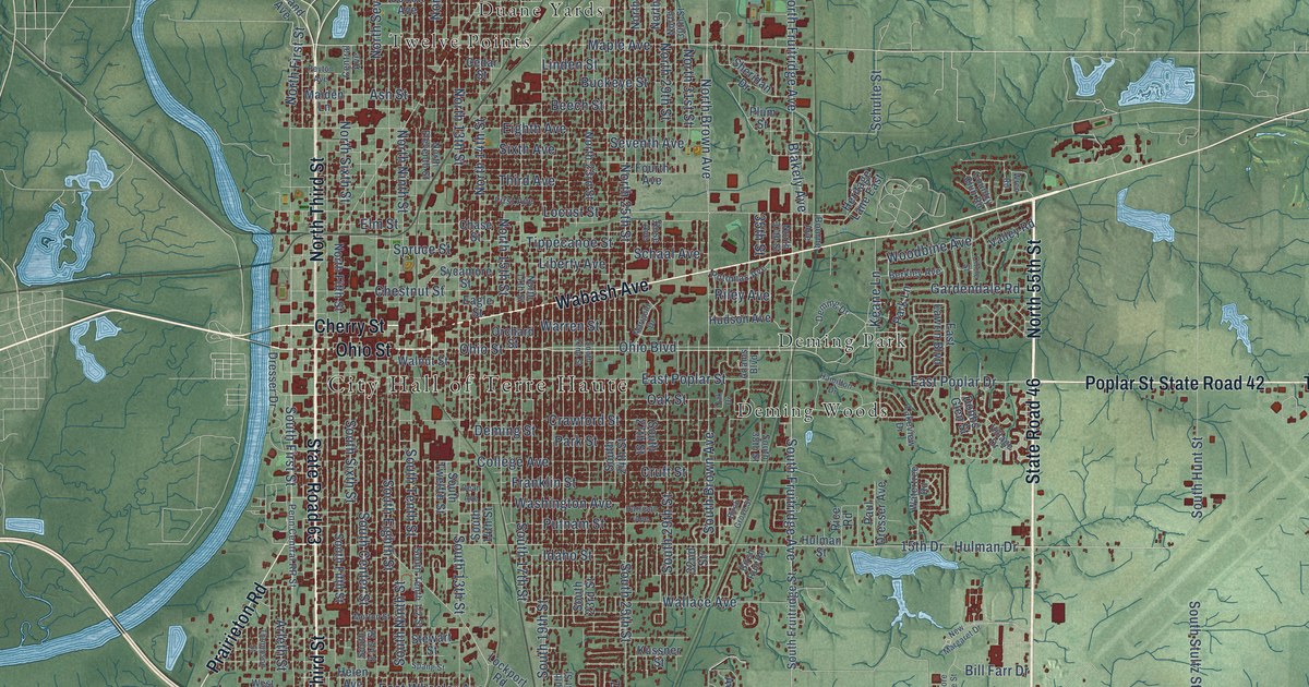
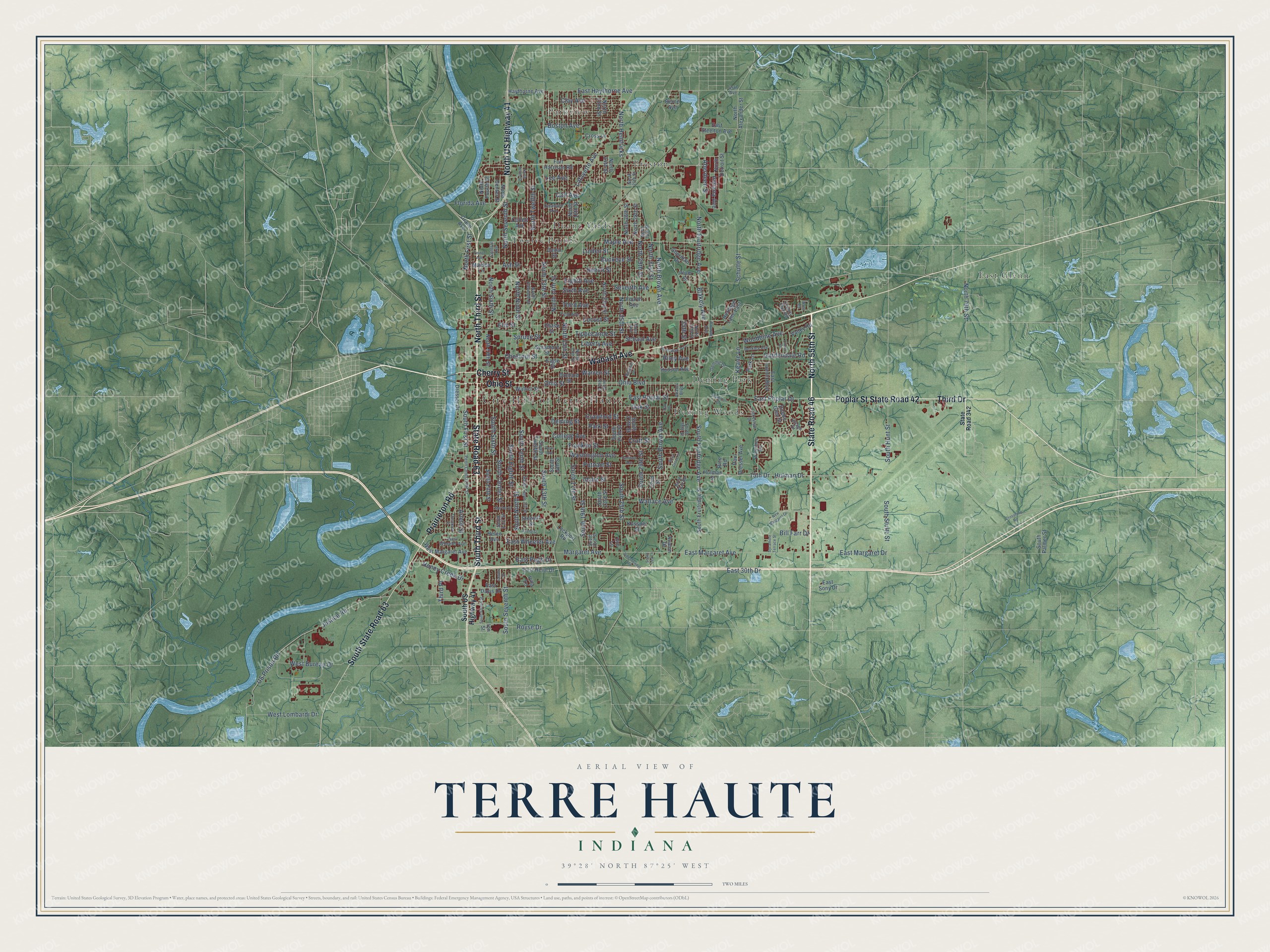
This beautifully detailed map of Terre Haute, Indiana was created in 2026 using aerial imagery combined with modern topographical, census, street and landmark data. It’s a one-of-a-kind view of Terre Haute that combines accurate data with a vintage aesthetic. The map shows every building in its true location, many of the roads carry their names, and the shaded topographic relief shows the shape of the land.
Explore an aerial view of Terre Haute, Indiana
On the map you’ll find City Hall of Terre Haute, Deming Park, Deming Woods, Duane Yards, East Glenn, Parkview, Preston, and Twelve Points, along with South Third Street, Wabash Avenue, Poplar Street, Third Drive, and more. If you look closely you can even find your house accurately drawn in its correct location. Zoom in on the preview to look for yours.
Did you know this piece of Terre Haute, Indiana history?
From the Historical Record of Vermillion County: "The Indiana State Normal School was founded at Terre Haute in 1870, in accordance with the act of the Legislature of that year."
Take a closer look at the Terre Haute map
Street and place names on the Terre Haute, Indiana map
These names are printed on the map of Terre Haute, Indiana.
Places: City Hall of Terre Haute, Deming Park, Deming Woods, Duane Yards, East Glenn, Parkview, Preston and Twelve Points.
Streets and roads: South Third Street, Wabash Avenue, Poplar Street, Third Drive, North 55th Street, State Road 46, State Road 42, Cherry Street, North Third Street, State Road 63, Prairieton Road, North US Highway 41.
More street names, A to Z
15th Drive, 32nd Street, 35th Street, 45th Avenue, Aberdeen Street, Adams Boulevard, Arleth Street, Ash Street, Avalon Drive, Beech Street, Berkley Avenue, Berne Avenue, Bill Farr Drive, Birch Grove Street, Birch Run Road, Blakely Avenue, Boston Avenue, Bourne Avenue, Buckeye Street, Carl Avenue, Cedar Street, Center Street, Central Avenue, Chase Street, Chestnut Street, Circle Street, Clay Avenue, College Avenue, Collett Avenue, Country Club Road, Crawford Street, Crossland Road, Cross Lane, Cruft Street, Dean Avenue, Delaware Avenue, Deming Drive, Deming Street, Dobbs Glen Street, Dresser Drive, Eagle Street, East 30th Drive, East Davis Drive, East Haythorne Avenue, East Heinl Drive, East Lawrin Boulevard, East Margaret Avenue, East Margaret Drive, East Poplar Drive, East Poplar Street, East Pugh Drive, East Sony Drive, East Steelton Avenue, East Wheeler Avenue, Eighth Avenue, Elm Street, First Avenue, Florida Avenue, Fort Harrison Road, Fourth Avenue, Franklin Street, Gardendale Road, Grand Avenue, Hamilton Drive, Harrison Avenue, Haythorne Avenue, Helen Avenue, Heritage Lane East, Honey Creek Drive, Hudson Avenue, Hulman Drive, Hulman Street, Idaho Street, Indiana Avenue, Ion Street, Justice Road, Keane Lane, Kussner Street, Lafayette Avenue, Lakeview Drive, Lee Avenue, Liberty Avenue, Linden Street, Lockport Road, Locust Street, Maiden Lane, Maple Avenue, Margaret Avenue, Marigold Drive, Morton Street, New Margaret Drive, North 13th Street, North 14th Street, North 15th Street, North 16th Street, North 17th Street, North 22nd Street, North 23rd Street, North 24th Street, North 25th Street, North 26th Street, North 27th Street, North 28th Street, North 29th Street, North 30th Street, North 31st Street, North 37th Street, North 79th Street, North Alexander Street, North Brown Avenue, North Center Street, North Detroit Street, North Eleventh Street, North Fifth Street, North First Street, North Fourth Street, North Fruitridge Avenue, North Hendricks, North Ninth Street, North Seventh Street, North Sixth Street, North Tenth Street, North Twelfth Street, Oak Drive, Oak Street, Ohio Boulevard, Ohio Street, Orchard Street, Park Lane, Park Street, Paul Dresser Avenue, Penn Central RR Street, Peyton Avenue, Plum Street, Potomac Avenue, Putnam Street, Rice Road, Riley Avenue, Rose Avenue, Royse Drive, Schaal Avenue, Schulte Street, Seventh Avenue, Sheridan Drive, Sidenbender Road, Sixth Avenue, South 13th Street, South 14th Street, South 17th Street, South 19th Street, South 21st Street, South 22nd Street, South 23rd Street, South 24th Street, South 25th Street, South 27th Street, South 29th Street, South 38th Street, South Brown Avenue, South Center Street, South Eighth Street, South Fifth Street, South First Street, South Fourth Street, South Fruitridge Avenue, South Fruitridge Street, South Hunt Street, South Lea Lane, South Ninth Street, South Palmer Street, South Seventh Street, South Sixth Street, South State Road 63, South Stultz Street, South Tenth Street, South Twelfth Street, South US Highway 41, Spang Street, Spruce Street, State Road 342, Stewart Street, Sycamore Street, Sycamore Terrace Street, Third Avenue, Third Place, Thompson Street, Tippecanoe Street, US Prison Road, Valley Road, Village Drive, Villa Lane, Wallace Avenue, Walnut Street, Warren Street, Washington Avenue, Watertree Road, West Bureau Drive, West Lombardi Drive, West Margaret Avenue, West Wheeler Avenue, Woodbine Avenue, Wren Road, Zoe Lane.
See the Terre Haute, Indiana map on a wall
The Terre Haute map as an 18 x 24 inch print in a black frame.

This beautifully detailed map of Terre Haute makes an attractive addition to your office, library, or den, and it can even be used to teach children the geography and history of the area. It also makes a great gift for someone who left Terre Haute and still calls it home. When you’re done exploring, click here to get your copy of the Terre Haute map.