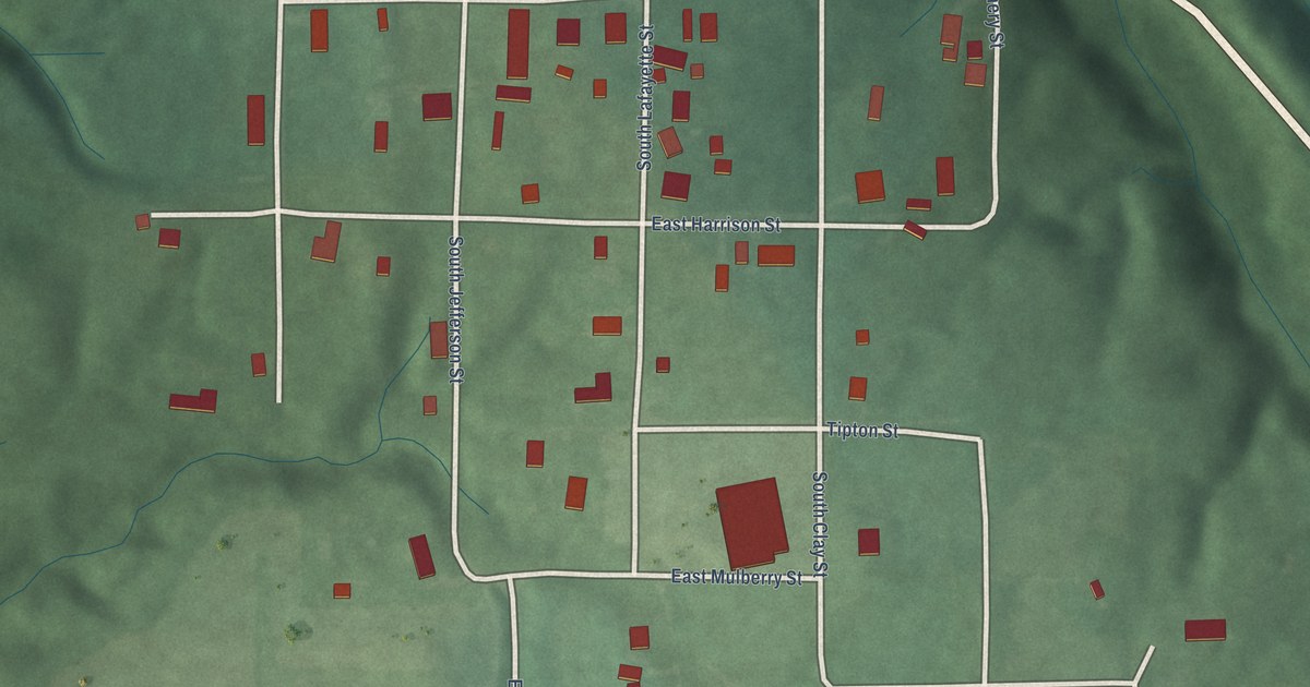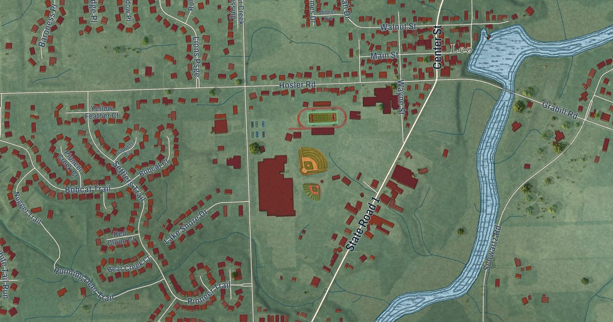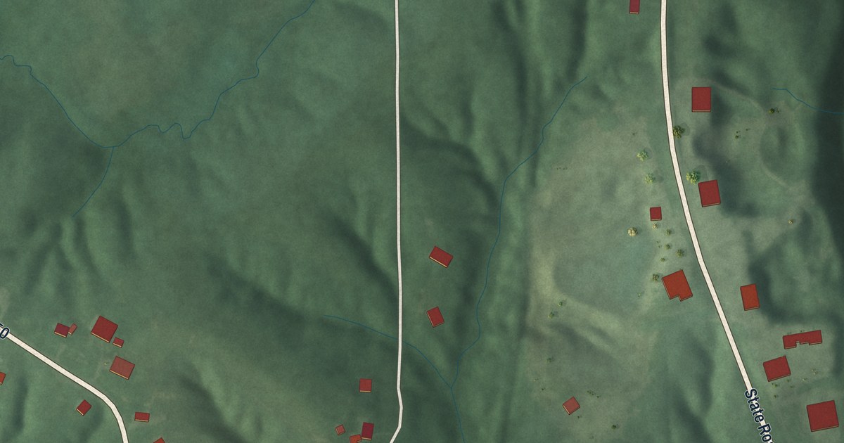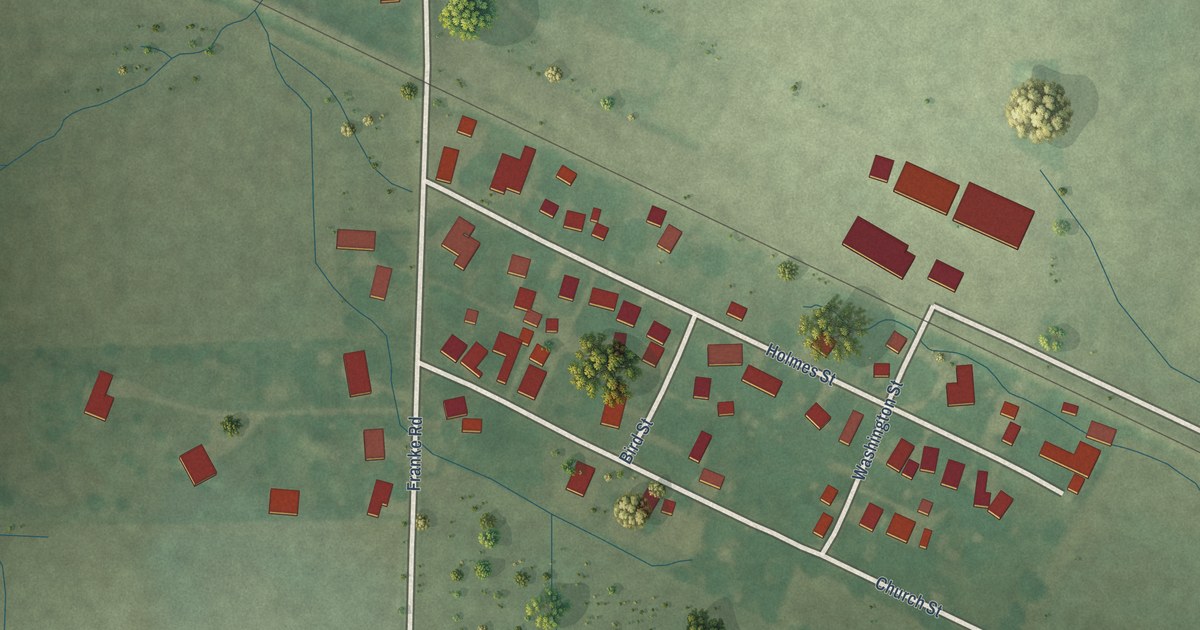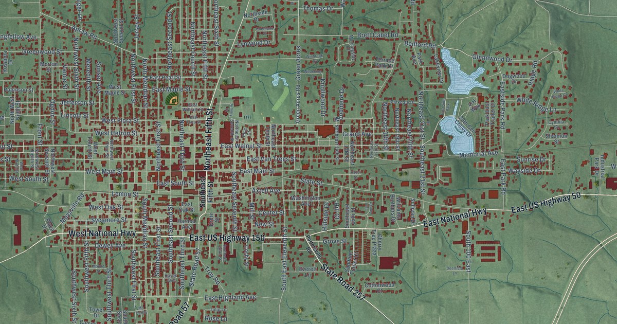
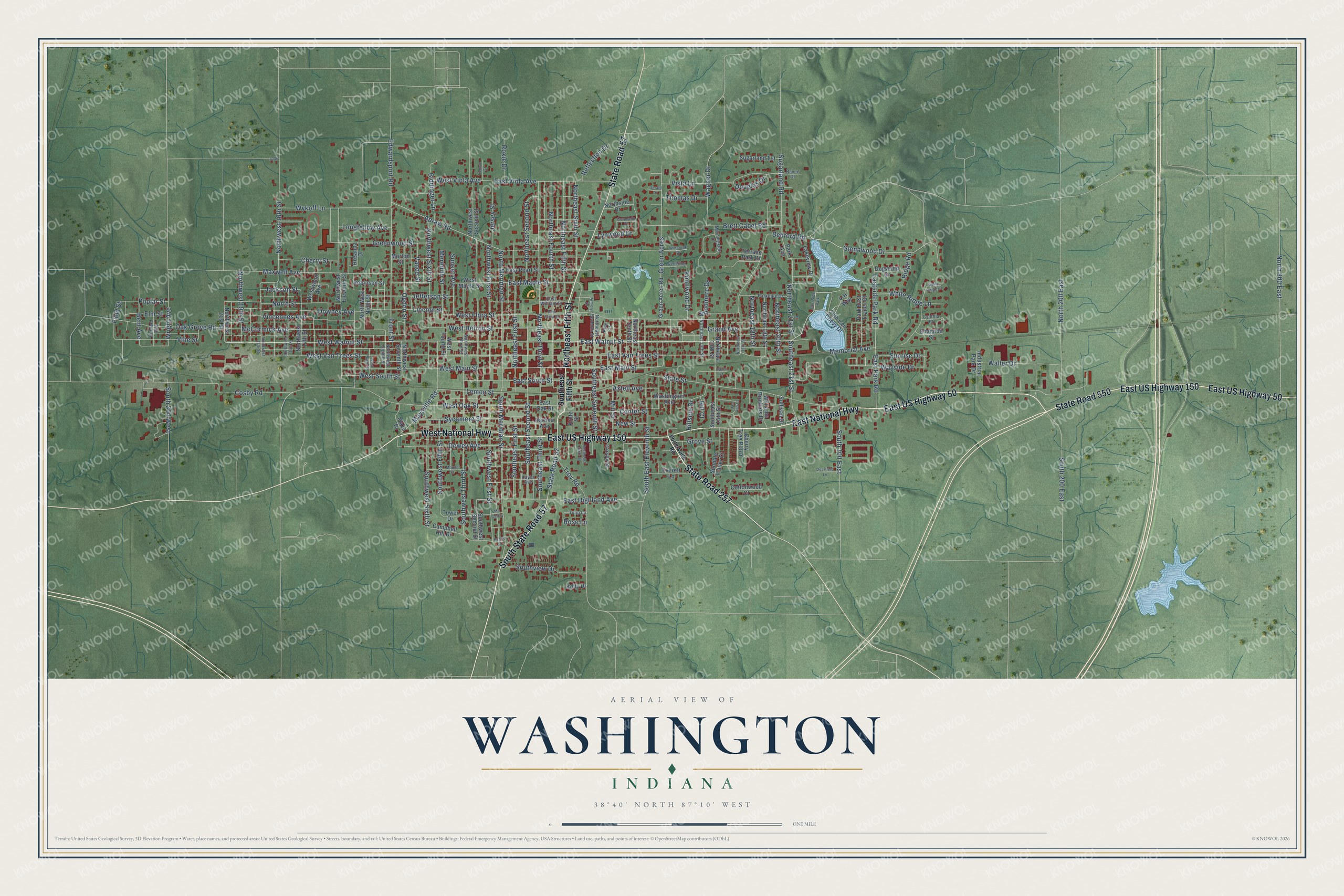
This beautifully detailed map of Washington, Indiana was created in 2026 using aerial imagery combined with modern topographical, census, street and landmark data. It’s a one-of-a-kind view of Washington that combines accurate data with a vintage aesthetic. The map shows every building in its true location, many of the roads carry their names, and the shaded topographic relief shows the shape of the land.
Explore an aerial view of Washington, Indiana
On the map you’ll find South State Road 57, along with State Road 257, Northeast Fifth Street, West National Highway, East US Highway 150, East US Highway 50, State Road 550, East National Highway, State Road 57, West Walnut Street, Memorial Avenue, East Walnut Street, and more. If you look closely you can even find your house accurately drawn in its correct location. Zoom in on the preview to look for yours.
Did you know this piece of Washington, Indiana history?
From the History of Daviess County Indiana: "The plat of the town of Washington was made and recorded on March 31, 1817."
Take a closer look at the Washington map
Street and place names on the Washington, Indiana map
These names are printed on the map of Washington, Indiana.
Places: East Side Park.
Streets and roads: State Road 257, South State Road 57, Northeast Fifth Street, West National Highway, East US Highway 150, East US Highway 50, State Road 550, East National Highway, State Road 57, West Walnut Street, Memorial Avenue, East Walnut Street.
More street names, A to Z
4-H Way, 20th Cen Chevy Drive, Apraw Road, Armory Drive, Axtell Avenue, Bedford Road, Bent Avenue, Bernard Avenue, Biddinger Lane, Brett Cabel Road, Burris Street, Campbell Hill Drive, Center Street, Cherry Street, Cherry Tree Plaza, Coronado Drive, Cosby Road, Cosby Street, Cottonwood Court, Cynthia Court, Deerfield Lane, Dewey Avenue, Dogwood Drive, Douglas Drive, Downey Avenue, East Flora Street, East Highland Avenue, East Main Street, East Maple Street, East Oak Street, East Park Road, East Pearl Street, Eastside Park Road, East South Street, East Van Trees Street, East Viola Avenue, East William Street, Edwardsport Road, Elm Street, Everett Lane, Field Street, Front Street, Gerald Drive, Glennwood Drive, Grand Avenue, Green Acres, Green Acres Road, Greenwood Street, Grove Street, Harned Avenue, Hayes Avenue, Hazel Street, Hill Court, Hillside Drive, Industrial Park Drive, Jackson Street, Jan Ann Court, Jefferson Street, Jersey Street, Kelly Drive, Knollwood Drive, Kretz Street, Lakeview Drive, Lemon Street, Lincoln Street, Longfellow Avenue, Lynwood Drive, Maxwell Avenue, Maysville Road, Mc Carthy, McCormick Avenue, Meredith Street, Mill Street, Morningside Drive, Morton Street, Mound Street, New Street, North 200 East, North 300 East, Northeast 14th Street, Northeast 15th Street, Northeast 17th Street, Northeast 18th Street, Northeast 19th Street, Northeast 20th Street, Northeast 21st Street, Northeast First Street, Northeast Fourth Street, Northeast Second Street, Northeast Seventh Street, Northeast Sixth Street, Northeast Tenth Street, Northeast Third Street, North Meridian Street, Northside Drive, North Street, Northwest 14th Street, Northwest 15th Street, Northwest 16th Street, Northwest 17th Street, Northwest 19th Street, Northwest 21st Street, Northwest Eighth Street, Northwest Eleventh Street, Northwest First Street, North West Ninth Street, Northwest Second Street, Northwest Seventh Street, Northwest Sixth Street, Northwest Third Street, Oak Grove Road, Ogdon Street, Park Avenue, Parkdale Drive, Park East Trailer Court, Pine Court, Plaza Drive, Poplar Street, Portersville Road, Raven Drive, Reflection Drive, Ridge Road, Robinson Street, Rosanna Drive, Rose Lane, Roxie Drive, Shannon Street, South 100 East, South 200 East, South 200 West, Southeast 15th Street, Southeast 21st Street, South East Eleventh Street, Southeast Fifth Street, Southeast First Street, Southeast Second Street, Southeast Seventh Street, Southeast Sixth Street, Southeast Third Street, South Meridian Street, Southview Drive, Southwest Fifth Street, Southwest First Street, Southwest Second Street, Southwest Sixth Street, Southwest Third Street, State Street, Sugarland Est, Sugarland Road, Sullivan Drive, Sundale Trailer Court, Sunrise Drive, Sunset Avenue, Sycamore Street, Terrace Park Drive, Thomas Drive, Tieman Street, Tower Drive, Troy Road, Tulip Lane, Vance Street, Vincennes Avenue, Vine Street, Vista Lane, Wagner Drive, Waller Drive, Washington Avenue, Wayside Drive, Wedeking Lane, West Flora Street, West Fourth Street, West Hefron Street, West Main Street, West Maple Street, West Ninth Street, West Oak Street, West South Street, West Van Trees Street, West Viola Avenue, Westwood Avenue, White Ridge Court, White Ridge Lane, Williams Brothers Drive, Winbrook Drive, Woodmere Drive, Wright Avenue, Wykoff Lane.
See the Washington, Indiana map on a wall
The Washington map as an 18 x 24 inch print in a black frame.

This beautifully detailed map of Washington makes an attractive addition to your office, library, or den, and it can even be used to teach children the geography and history of the area. It also makes a great gift for someone who left Washington and still calls it home. When you’re done exploring, click here to get your copy of the Washington map.