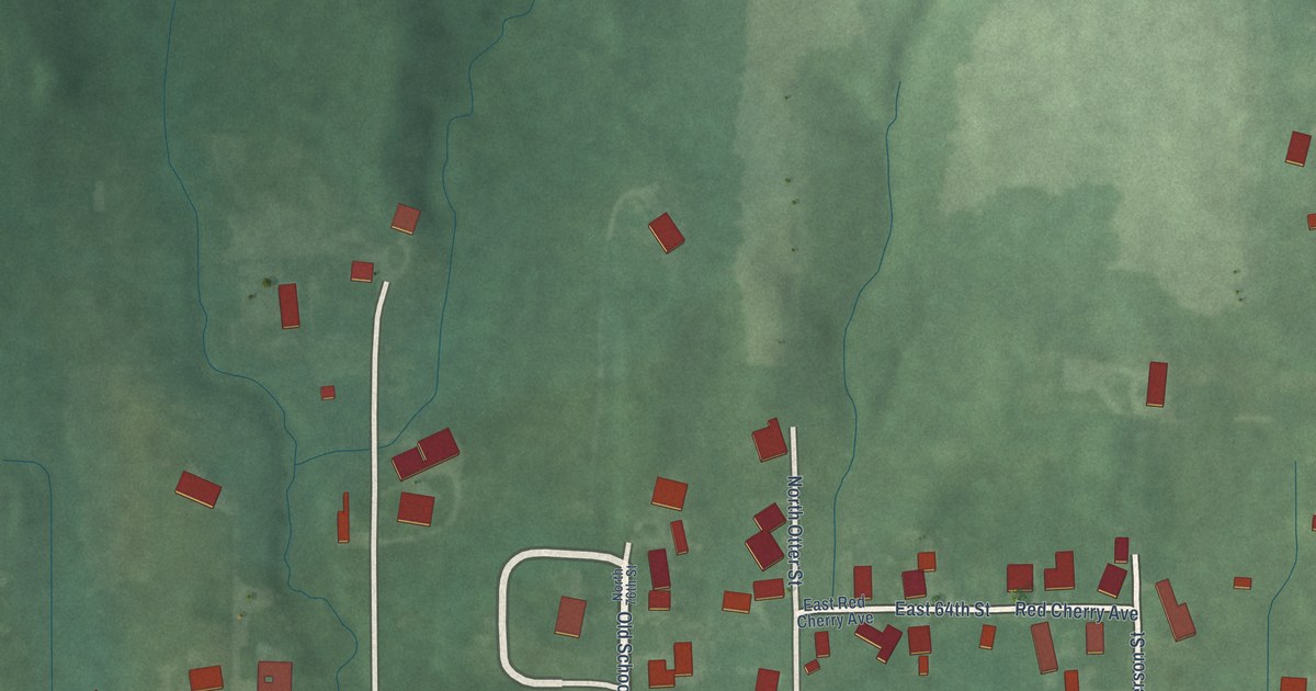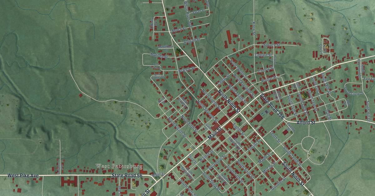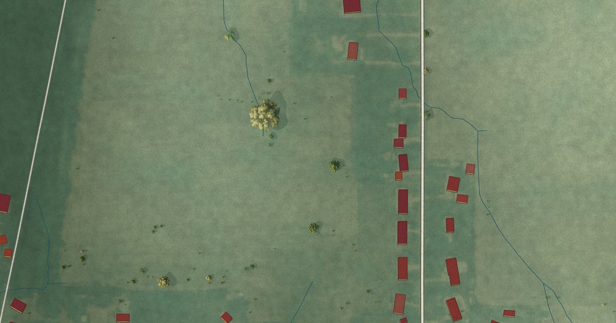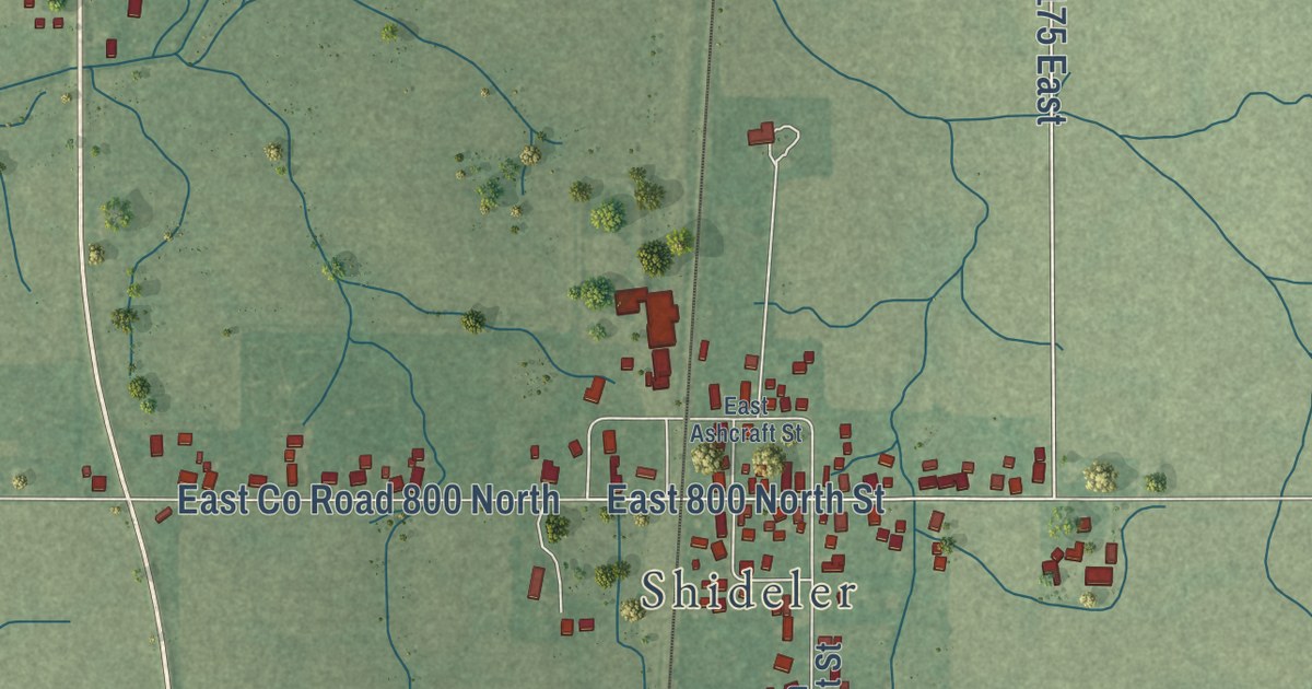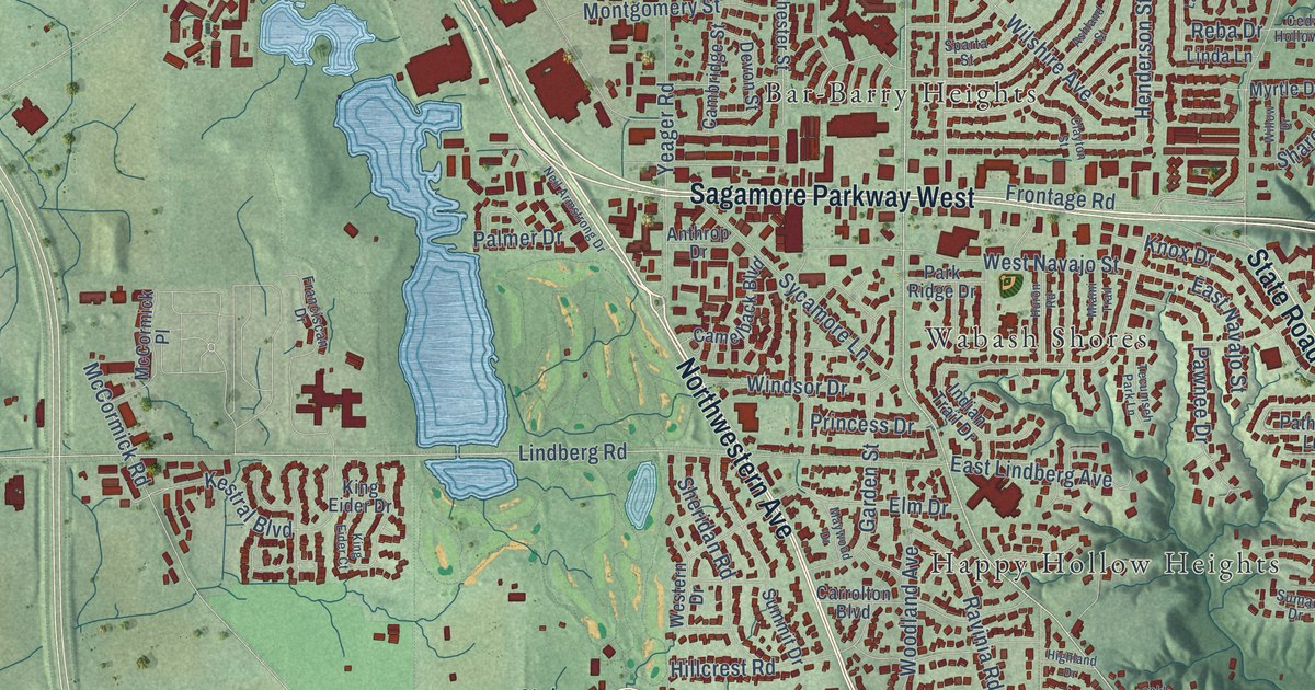
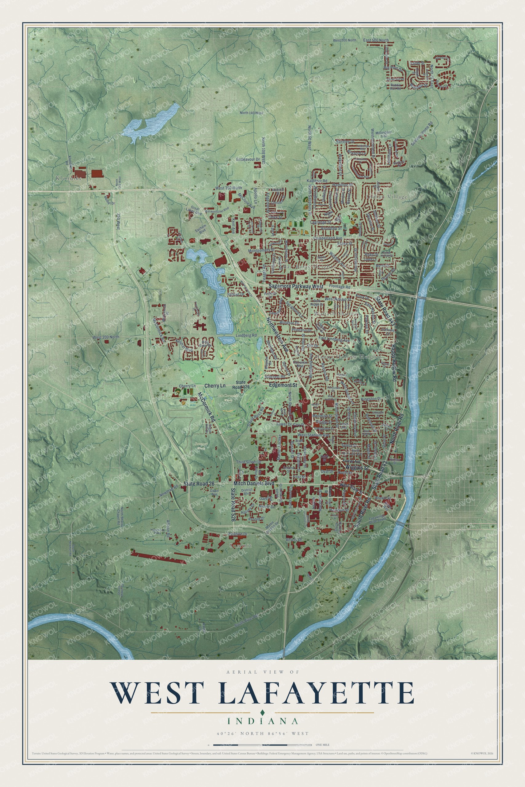
This beautifully detailed map of West Lafayette, Indiana was created in 2026 using aerial imagery combined with modern topographical, census, street and landmark data. It’s a one-of-a-kind view of West Lafayette that combines accurate data with a vintage aesthetic. The map shows every building in its true location, many of the roads carry their names, and the shaded topographic relief shows the shape of the land.
Explore an aerial view of West Lafayette, Indiana
On the map you’ll find Summit, McCormick Woods, Stewart Woods, Bar-Barry Heights, Happy Hollow Heights, Indian Village, Klondike, and Wabash Shores, along with State Road 26, McCormick Road, Mitch Daniels Boulevard, Cherry Lane, and more. If you look closely you can even find your house accurately drawn in its correct location. Zoom in on the preview to look for yours.
Did you know this piece of West Lafayette, Indiana history?
From the Past and Present of Tippecanoe County Indiana: "What is now known as West Lafayette has had different names at various times in the history of the county. At first it was known as Kingston, and the land on which it was platted was largely owned by Jesse B. Lutz, who surveyed and converted it into lots and gave it its original name."
Take a closer look at the West Lafayette map
Street and place names on the West Lafayette, Indiana map
These names are printed on the map of West Lafayette, Indiana.
Places: Summit, McCormick Woods, Stewart Woods, Bar-Barry Heights, Happy Hollow Heights, Indian Village, Klondike and Wabash Shores.
Streets and roads: State Road 26, McCormick Road, Mitch Daniels Boulevard, Cherry Lane, Wiggins Street, Northwestern Avenue, Edgemont Street, North River Road, South River Road, Sagamore Parkway West, State Road 526, State Road 43.
More street names, A to Z
250 West, Ahlers Drive, Allison Road, Anthrop Drive, Apollo Lane, Aqueduct Circle, Arnold Drive, Ashland Street, Aviation Drive, Avondale Street, Benton Street, Bethel Drive, Bexley Road, Big Pine Drive, Bonterra Lane, Boone Street, Bowen, Brees Way, Brixford Lane, Broadview Road, Browning Street, Brown Street, Burnley Drive, Cambridge Street, Camelback Boulevard, Carrolton Boulevard, Cary Drive, Cedar Hollow Court, Chauncey Avenue, Chesterfield Way, Cinnabar Street, Clayton Street, Courthouse Drive East, Covington Street, Crawford Street, Cumberland Avenue, David Ross Road, Dawn Avenue, Decatur Street, Dehart Street, Devon Street, District Boulevard, Dodge Street, Dubois Street, East 500 North, East Lindberg Avenue, East Navajo Street, East Oak Street, Edgerton Street, Elijah Street, Elm Drive, Endeavour Drive, Essex Street, Evergreen Street, Fall Place, Farnsworth Drive, First Street, Foresthill Drive, Fowler Avenue, Foxton Lane, Franciscan Drive, Frontage Road, Garden Street, Gates Road, Great Lakes Boulevard, Halsey Drive, Hamilton Street, Happy Hollow Road, Harrison Street, Hartman Court, Hayes Street, Henderson Street, Highland Drive, Hillcrest Road, Hilltop Drive, Hort Drive, Huron Road, Hypersonic Parkway, Indian Trail Drive, Isaiah Street, Jasper Street, Jeremiah Street, Kalberer Road, Kent Avenue, Kestral Boulevard, King Eider Court, King Eider Drive, Kingston Drive, Klondike Road, Knox Drive, Lagrange Street, Lawn Avenue, Lincoln Street, Linda Lane, Linda Lane West, Lindberg Road, Litchfield Lane, Little Pine Drive, Littleton Street, Manchester Street, Maple Street, Marsteller Street, Martin Jischke, Martin Jischke Drive, Marwyck Street, Matthew Street, Maywood Drive, Mc Arthur Drive, McClure Avenue, McCormick Place, Mc Cutcheon Drive, Meridian Street, Miami Trail, Millingden Trail, Montgomery Street, Morgan Street, Myrtle Drive, Neil Armstrong Drive, Newman Road, Nimitz Drive, Noble Court, North 50 West, North 75 East, North 100 West, North 140 West, North 250 West, North Grant Street, North Russell Drive, North Salisbury Street, North Sharon Chapel Road, North Street, Onyx Street, Oval Drive, Palmer Drive, Park Ridge Drive, Pathway Lane, Pawnee Drive, Pearl Street, Peppermill Drive, Pierce Street, Pike Street, Princess Drive, Putnam Street, Quincy Street, Rabbit Run Road, Radcliff Street, Range Lane, Ravinia Road, Reba Drive, Robinson Street, Rockland Drive, Rose Street, Ross Ade Drive, Russell Street, Sachem Boulevard, Second Street, Senior Place, Sharon Chapel Road, Sharon Road, Sheetz Street, Sheffield Road, Sheridan Road, Shrewsbury Drive, Sixth Street, Smoky Hill Road, Soldiers Home Road, South Grant Street, South Intramural Drive, South Newman Road, South Russell Drive, South Salisbury Street, South University Drive, Sparta Street, State Road 126, State Road 443, Steely Street, Sugar Hill Drive, Sullivan Street, Sumac Drive, Summit Drive, Sycamore Lane, Sylvia Street, Tapawingo Drive South, Tecumseh Park Lane, Third Street, Third Street Drive, Tower Drive, Tunbridge Way, University Street, Vigo Court, Vine Street, Wakefield Drive, Waldron Street, West 200 North, West 350 North, West 500 North, Western Drive, West Leslie Avenue, West Lutz Avenue, Westmoreland Drive, West Navajo Street, West Stadium Avenue, West State Street, West Sunset Lane, Willow Drive, Wilshire Avenue, Windsor Drive, Win Hentschel Boulevard, Woodland Avenue, Yeager Road.
See the West Lafayette, Indiana map on a wall
The West Lafayette map as an 18 x 24 inch print in a black frame.

This beautifully detailed map of West Lafayette makes an attractive addition to your office, library, or den, and it can even be used to teach children the geography and history of the area. It also makes a great gift for anyone with West Lafayette roots. When you’re done exploring, click here to get your copy of the West Lafayette map.