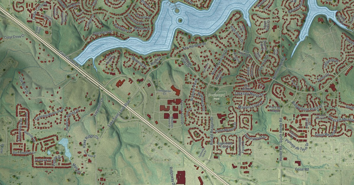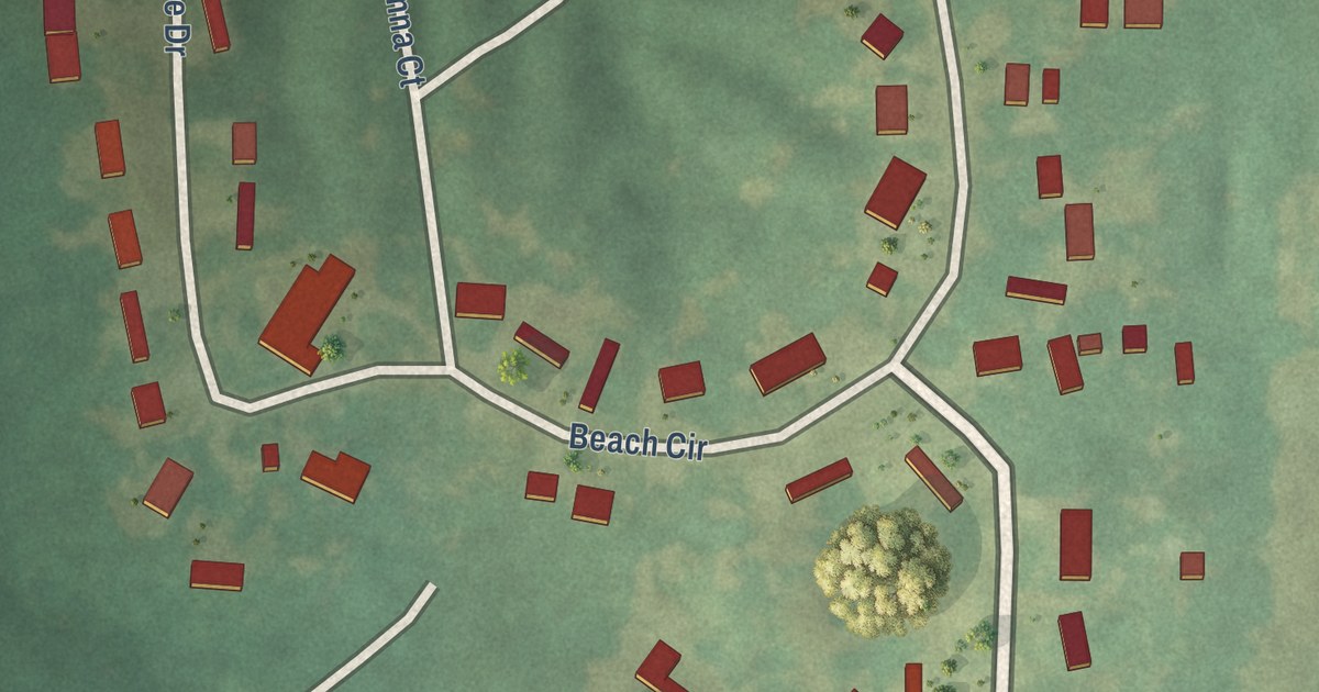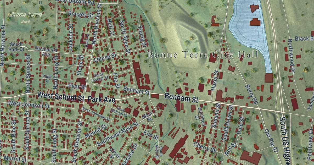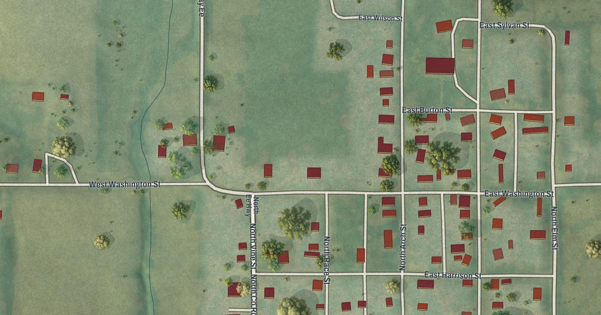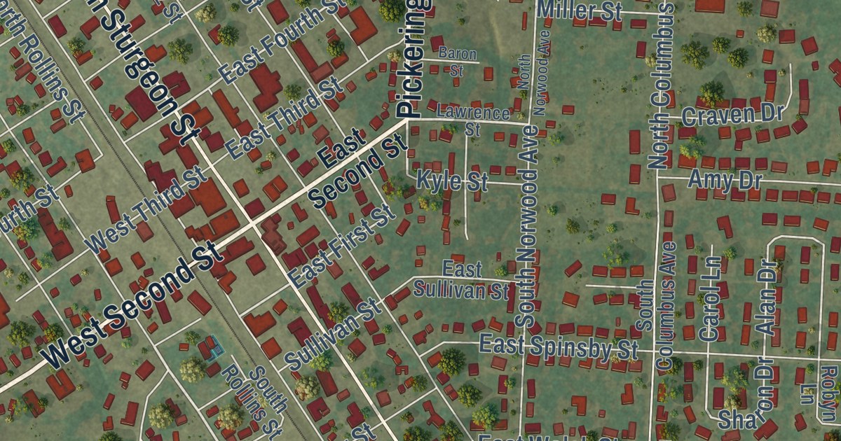
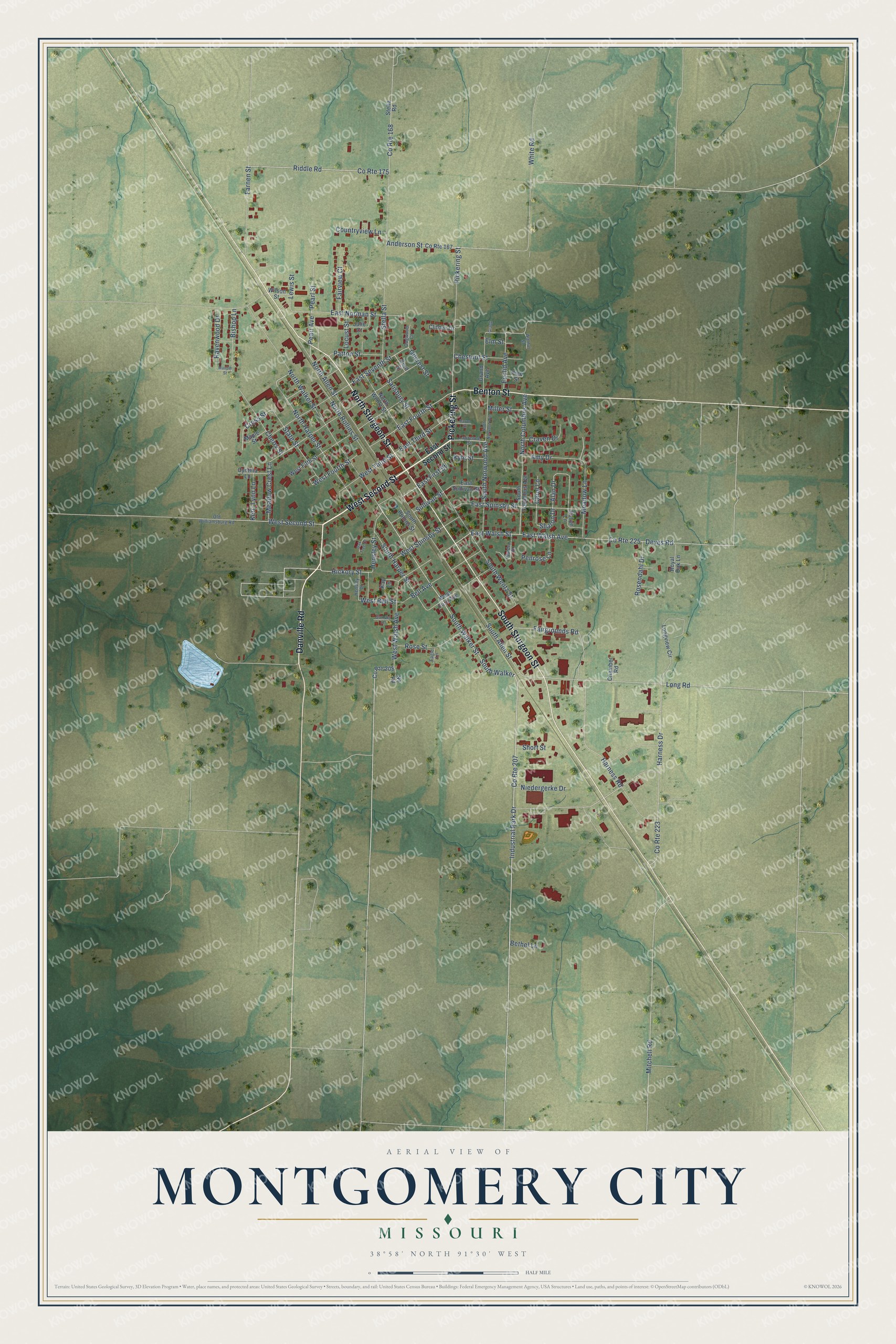
This beautifully detailed map of Montgomery City, Missouri was created in 2026 using aerial imagery combined with modern topographical, census, street and landmark data. It’s a one-of-a-kind view of Montgomery City that combines accurate data with a vintage aesthetic. The map shows every building in its true location, many of the roads carry their names, and the shaded topographic relief shows the shape of the land.
Explore an aerial view of Montgomery City, Missouri
On the map you’ll find Montgomety City Cemetery and South Walker, along with West Second Street, Pickering Street, Danville Road, South Sturgeon Street, North Sturgeon Street, Benton Street, Hickory Street, South Walker Street, East Fourth Street, Long Road, and more. If you look closely you can even find your house accurately drawn in its correct location. Zoom in on the preview to look for yours.
Did you know this piece of Montgomery City, Missouri history?
From the State Historical Society of Missouri: "Made the county seat in 1889 after much opposition from residents in the southern part of the county."
Take a closer look at the Montgomery City map
Street names on the Montgomery City, Missouri map
These names are printed on the map of Montgomery City, Missouri.
Streets and roads: West Second Street, Pickering Street, Danville Road, South Sturgeon Street, North Sturgeon Street, Benton Street, South Walker, South Walker Street, Hickory Street, County Route 207, Industrial Park Drive, County Route 175.
More street names, A to Z
Alan Drive, Amy Drive, Anderson Street, Baron Street, Bell Avenue, Bethel Lane, Bishop Lane, Carol Lane, Chamber Road, Cherry Street, Chestnut Street, Clifden Drive, Countryview Lane, County Route 167, County Route 168, County Route 208, County Route 223, County Route 225, Craven Drive, Cross Street, Curd Street, Cynthia Lane, Deves Road, Dogwood Court, Eagle Lane, East First Street, East Fourth Street, East Norman Street, East Second Street, East Seventh Street, East Spinsby Street, East Sullivan Street, East Third Street, East Walsh Avenue, East Walsh Street, Elm Street, Euclid Avenue, Fairgrounds Road, Fairview Court, Farnen Street, Garden Place, Gilcrest Street, Grand, Grand Avenue, Harness Drive, Harness Road, Hensley Drive, Hensley Street, Julie Court, Kay Lane, Kerri Lynn Lane, Kyle Street, Lawrence Street, Lewis Street, Locust Street, Long Road, Longview Circle, Maple Street, Maupin Street, Meadow Crest Lane, Meadow Lane, Miller Street, Mitchell Road, Niedergerke Drive, No Road, North Allen Street, North Columbus Avenue, North Harper Street, North Norwood Avenue, North Rollins Street, North Walker Street, North Wentz Street, Oak Tree Court, Old Williamsburg Road, Patton Street, Pearl Avenue, Pearl Street, Penrose Lane, Pine Street, Ravenwood Drive, Riddle Road, Robyn Lane, Rosendahl Drive, Rose Street, Royal Oak Lane, Salisbury Street, Sharon Drive, Short Street, South Allen Street, South Columbus Avenue, South Harper Street, South Norwood Avenue, South Rollins Street, South Wentz Street, State Street, Stella Road, Stella Street, Sullivan Street, Sunset Lane, Walnut Street, West Bell Street, West Fifth Street, West Ford Avenue, West Fourth Street, West Spinsby Street, West Third Street, West Walsh Avenue, White Road, Wilson Street.
See the Montgomery City, Missouri map on a wall
The Montgomery City map as an 18 x 24 inch print in a black frame.

This beautifully detailed map of Montgomery City makes an attractive addition to your office, library, or den, and it can even be used to teach children the geography and history of the area. It also makes a great gift for someone who left Montgomery City and still calls it home. When you’re done exploring, click here to get your copy of the Montgomery City map.