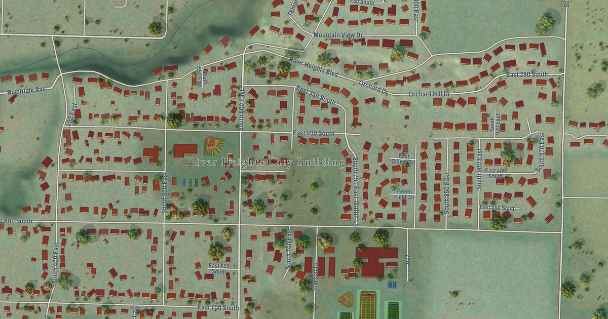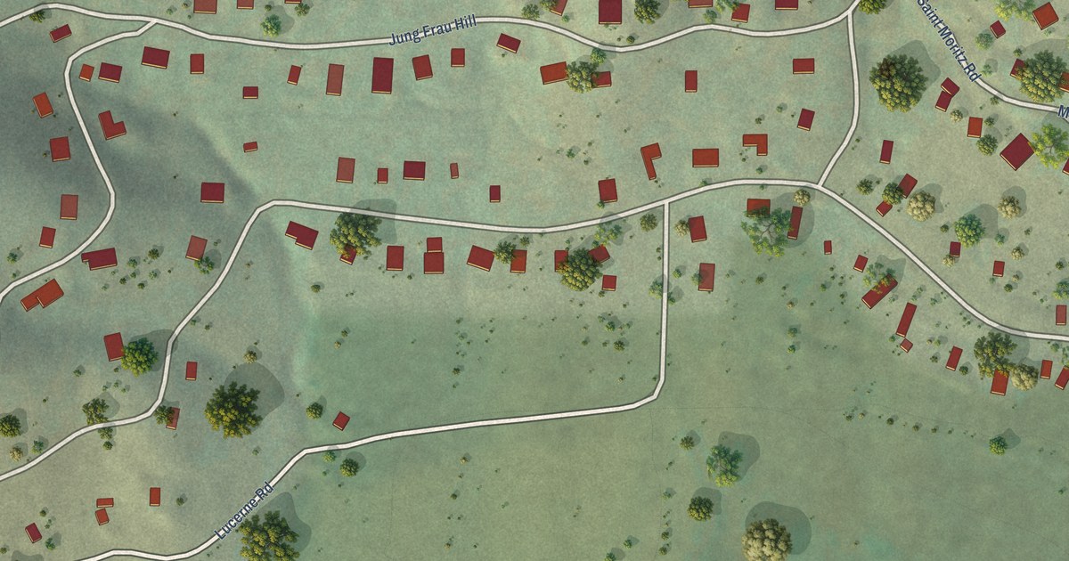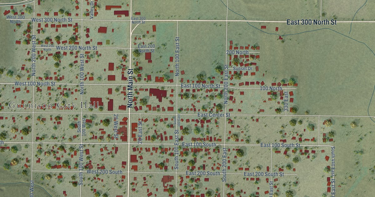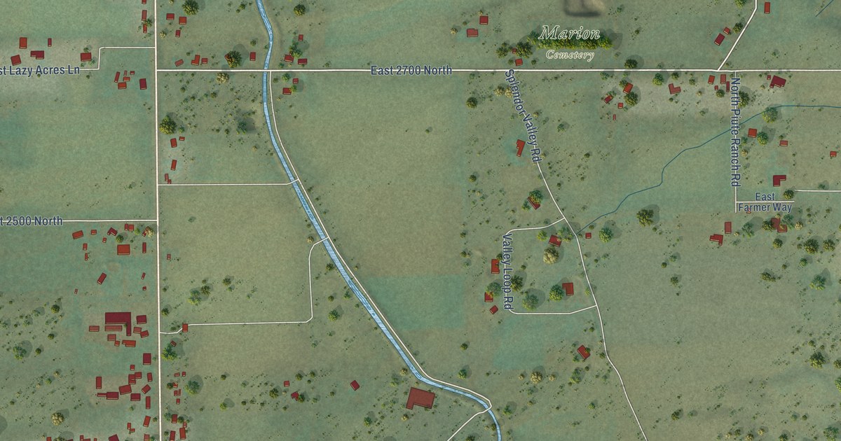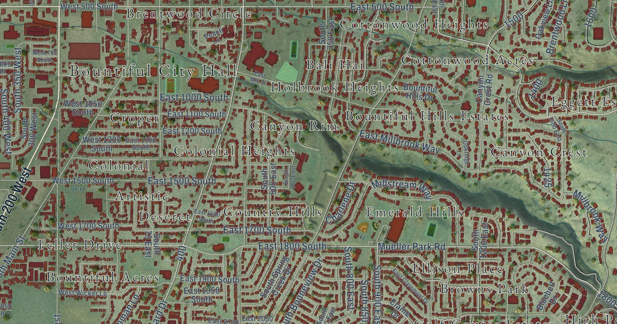
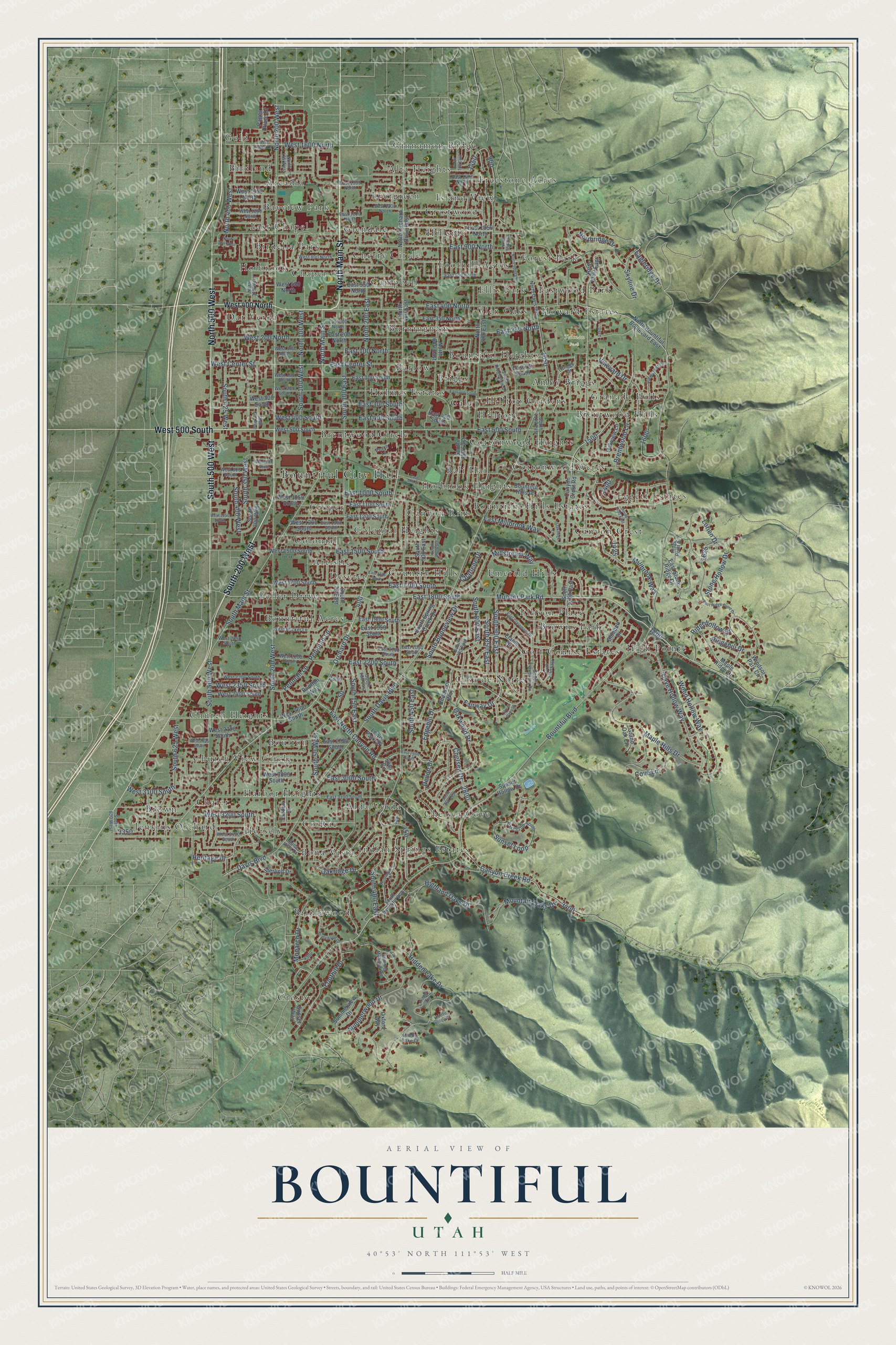
This beautifully detailed map of Bountiful, Utah was created in 2026 using aerial imagery combined with modern topographical, census, street and landmark data. It’s a one-of-a-kind view of Bountiful that combines accurate data with a vintage aesthetic. The map shows every building in its true location, many of the roads carry their names, and the shaded topographic relief shows the shape of the land.
Explore an aerial view of Bountiful, Utah
On the map you’ll find Bountiful City Hall, Tolman Park, Alda Verda, Alta Heights, Amby Briggs, Arcadia, Artistic, Bali Hai, Barlow, Bayview Park, Birdella Park, Birdland, and more. If you look closely you can even find your house accurately drawn in its correct location. Zoom in on the preview to look for yours.
Did you know this piece of Bountiful, Utah history?
From the Utah Division of State History: "Bountiful is Utah’s second settlement and was named for one of the ancient American cities described in The Book of Mormon."
Take a closer look at the Bountiful map
Street and place names on the Bountiful, Utah map
These names are printed on the map of Bountiful, Utah.
Places: Bountiful City Hall, Tolman Park, Alda Verda, Alta Heights, Amby Briggs, Arcadia, Artistic, Bali Hai, Barlow, Bayview Park, Birdella Park, Birdland, Bona Vista, Boulton, Bountiful Acres, Bountiful Heights, Bountiful Hills Estates, Brentwood Circle, Brentwood Hills, Bridlewood, Briggs, Brown, Browns Park, Burningham, Campbell, Canyon Crest, Canyon Rim, Casa de Norte, Chalet, Chapel, Chelsea Cove, Cherry Circle, Church Heights, Church View Circle, Cinnamon Ridge, Co Rae, Colonial, Colonial Heights, Cottonwood Acres, Cottonwood Heights, Country Hills, Crestwood, Croper, Crosby, Dar Verda, Deseret, East Chapel, Eastwood Park, Eggett Estates, Ellis Park, Ellison Place, Emerald Hills, Evergreen, Feller Drive, Foothill Acres, Forest Park, Freestone Acres, Gale, Glen Oaks, Glendale, Gold, Golf Course Estates, Granada Hills, Harbor Heights, High Pointe, Hillside, Hilltop, Hilltop Gardens, Holbrook, Holbrook Heights, Holmes Estates, Horsely, Howard Estates, Indian Springs Estates, Island View and Jenkins Orchard.
Streets and roads: South 200 West, North Main Street, North 500 West, South 500 West, West 500 South, East 1800 South, Mueller Park Road, North 200 West, East 500 South, South 900 East, East North Canyon Road, Skyline Drive.
More street names, A to Z
Bluebell Drive, Bona Vista Drive, Boulton Way, Bountiful Boulevard, Bountiful Hills Drive, Brentwood Lane, Bridlewood Drive, Briggs Drive, Canyon Creek Road, Canyon Crest Road, Cave Hollow Way, Charlene Drive, Chelsea Drive, Cove Lane, Davis Boulevard, Devon Drive, Eagleridge Drive, East 75 South, East 100 North, East 100 South, East 200 North, East 200 South, East 250 North, East 300 North, East 300 South, East 350 North, East 400 North, East 400 South, East 450 South, East 550 North, East 650 North, East 900 North, East 1000 South, East 1050 North, East 1100 North, East 1100 South, East 1200 North, East 1200 South, East 1300 South, East 1350 North, East 1400 North, East 1500 South, East 1650 South, East 1700 South, East 1900 South, East 1950 South, East 2050 South, East 2100 South, East 2200 South, East 2750 South, East 2800 South, East 3000 South, East 3100 South, East 3200 South, East Center Street, East Claremont Drive, East Millbrook Way, East Mill Street, East Ridge Point Drive, East Stone Ridge Drive, Edgehill Drive, Elaine Drive, Fairway Drive, Foothill Drive, Foss Circle, Grand Oak Circle, Green Oaks Drive, Heritage Drive, Hidden Hollow Court, Hidden Hollow Drive, Hidden Lake Court, Hidden Lake Drive, Highland Oaks Drive, Huntington Drive, Lewis Park Drive, Linden Street, Lorien Drive, Maple Hills Drive, Maple Ridge Drive, Millbrook Way, Millstream Way, Monarch Drive, Mountain Oaks Drive, North 100 West, North 175 West, North 200 East, North 325 West, North 400 East, North 400 West, North 600 East, North 700 East, North 800 East, North 950 East, North 1000 East, North 1300 East, North Bountiful Boulevard East, North Davis Boulevard, North Orchard Drive East, Northridge Drive, Oakridge Drive, Oakridge Lane, Oakview Lane, Oakwood Drive, Orchard Drive, Oxford Way, Pages Place Drive, Peach Lane, Pemman Lane, Penman Lane, Pheasant Way, Ridgehill Drive, Ridgehollow Drive, Ridge Point Drive, South 50 West, South 75 East, South 100 East, South 100 West, South 150 East, South 200 East, South 285 West, South 300 West, South 350 West, South 400 East, South 400 West, South 425 West, South 450 East, South 500 East, South 600 East, South 625 West, South 700 East, South 750 East, South 800 East, South 800 West, South 850 East, South 950 East, South 1100 East, South 1150 East, South 1200 East, South 1500 East, South Bonneview Drive, South Bountiful Boulevard, South Claremont Drive, South Davis Boulevard, South Main Street, South Ridgeview Drive, South Spring Creek Drive, Sterling Drive, Stone Hollow Drive, Summer Meadow Road, Summerview Drive, Summerwood Drive, Sunset Hollow Drive, Sunset Loop, Sunset Way, Viewcrest Drive, Vineyard Drive, West 100 North, West 100 South, West 200 North, West 200 South, West 300 South, West 400 North, West 400 South, West 550 North, West 750 South, West 800 North, West 800 South, West 1050 South, West 1200 North, West 1250 South, West 1300 South, West 1350 North, West 1500 South, West 1600 North, West 1700 South, West 2050 South, West 2200 South, West 2300 South, West 2350 South, West 2400 South, West 2600 South, West 2700 South, West 2825 South, West 3000 South, West 3100 South, West 3200 South, West 3400 South, West Center Street, West Pages Lane, West Wicker Lane, Windsor Park Circle, Wood Hollow Way.
See the Bountiful, Utah map on a wall
The Bountiful map as an 18 x 24 inch print in a black frame.

This beautifully detailed map of Bountiful makes an attractive addition to your office, library, or den, and it can even be used to teach children the geography and history of the area. It also makes a great gift for someone who left Bountiful and still calls it home. When you’re done exploring, click here to get your copy of the Bountiful map.