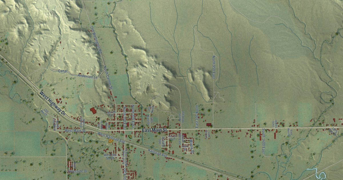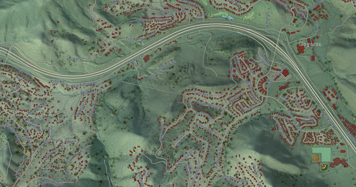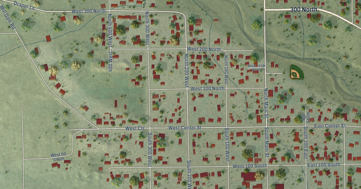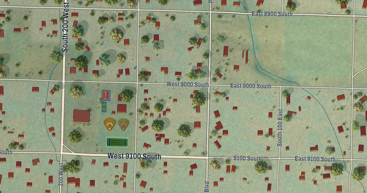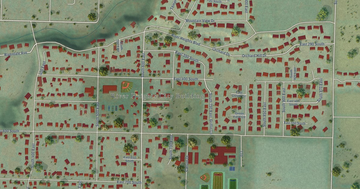
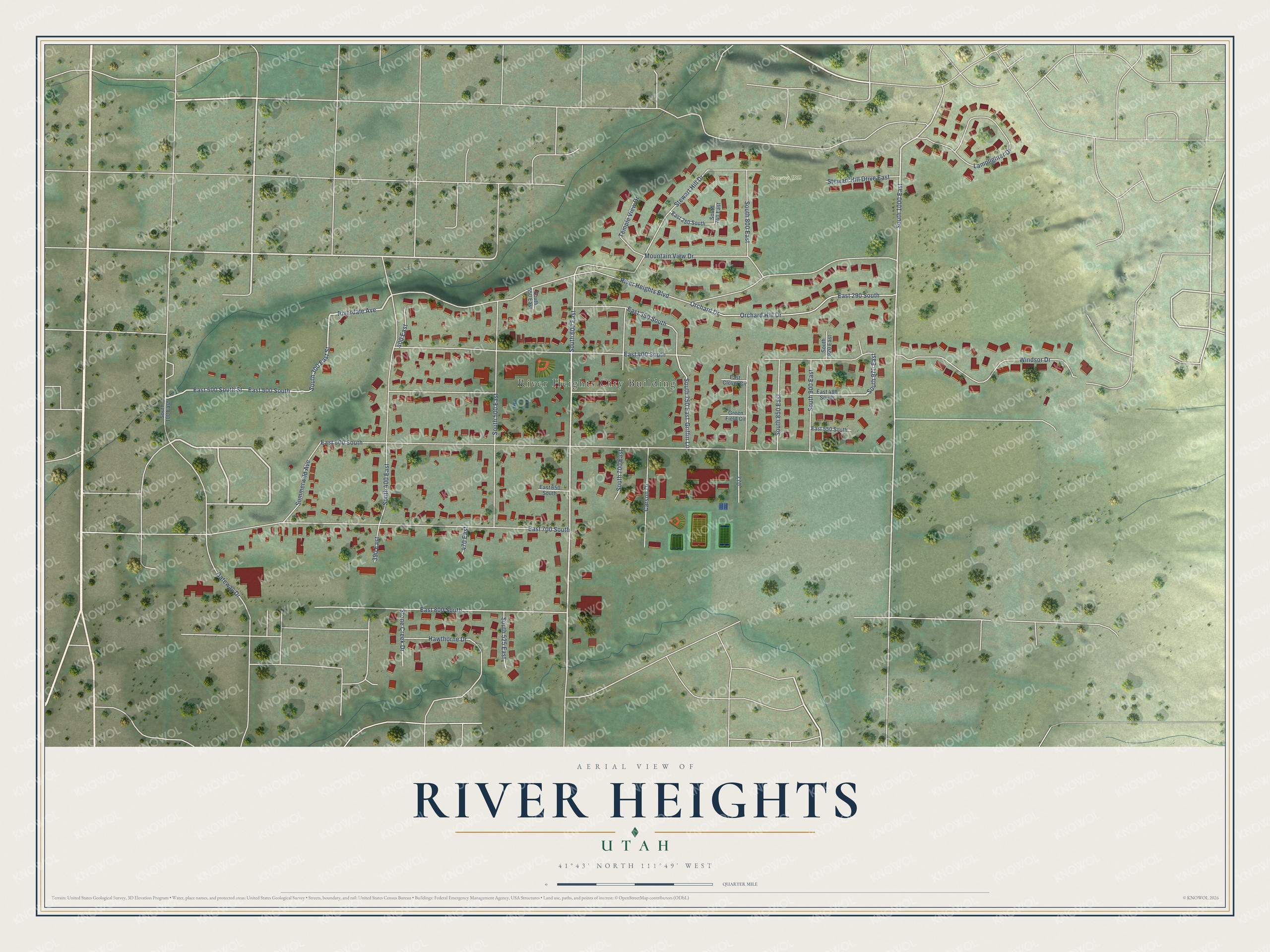
This beautifully detailed map of River Heights, Utah was created in 2026 using aerial imagery combined with modern topographical, census, street and landmark data. It's a modern aerial view of River Heights in Cache County, Utah, that combines modern data with a vintage aesthetic. The roads feature printed names, and if you look closely you can find your exact house accurately shown in its correct location.
Explore an aerial view of River Heights, Utah
On this map you'll find River Heights City Building, Stewart Hill, South 600 East, South 800 East, South 970 East, Riverdale Avenue, South 1000 East, South 300 East Street, East 600 South, River Heights Boulevard, East 400 South, East 700 South, and more. Each red shape is a building, so zoom in on the preview and look for yours.
River Heights has a story worth telling. The National Register of Historic Places puts it this way: "Built by Erick Lehi Olson, a local contractor and builder of numerous structures throughout
the River Heights, Logan, and Providence area, this house describes the quality of craftsmanship
available through local carpenters."
River Heights is a city in Cache County. The Census Bureau counted 2,144 people here in 2020.
Take a closer look at the River Heights map
Names on this map
These names are printed on this map.
Places: River Heights City Building and Stewart Hill.
Streets and roads: South 600 East, South 800 East, South 970 East, Riverdale Avenue, South 1000 East, South 300 East Street, East 600 South, River Heights Boulevard, East 400 South, East 700 South, East 500 South, East 800 South.
More street names, A to Z
390 East, 400 East, 470 East, Carson Drive, East 250 South, East 290 South, East 350 South, East 480 South, East 500 South Street, East 550 South, East 650 South, East Clover Circle, Gateway Drive, Green Field Circle, Griffin Lane, Hawthorne Drive, Lamplighter Drive, Mountain View Drive, Orchard Drive, Orchard Hill Drive, South 100 East, South 400 East, South 500 East, South 525 East, South 550 East, South 700 East, South 740 East, South 750 East, South 850 East, South 900 East, South 920 East, Stewart Hill Drive, Stewart Hill Drive East, Stone Creek Drive, Summerwild Avenue, Temple View Drive, Windsor Drive.
Created by KNOWOL in 2026. The buildings are small red shapes, the roads carry their printed names, and shaded relief shows the shape of the land. The title panel reads "AERIAL VIEW OF RIVER HEIGHTS UTAH" with 41°43' NORTH 111°49' WEST.
It looks right in a kitchen, an office or a den, and it's a gift for anyone who grew up in River Heights or moved away. Open the preview and find your street. See sizes and frames for the River Heights map.