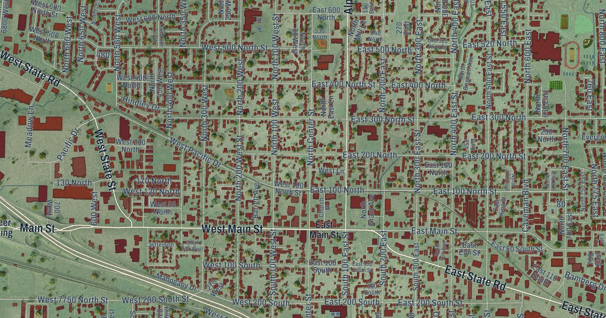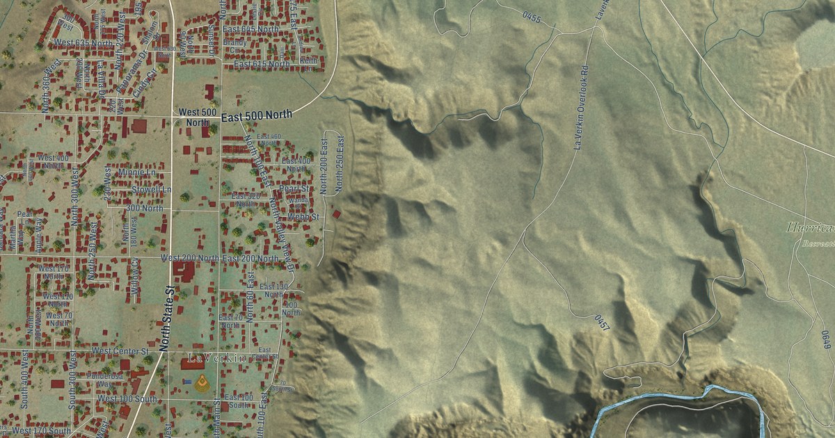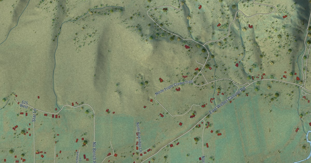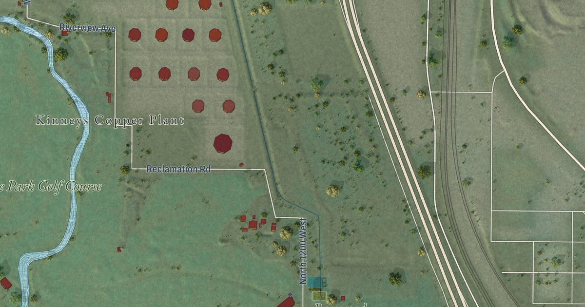
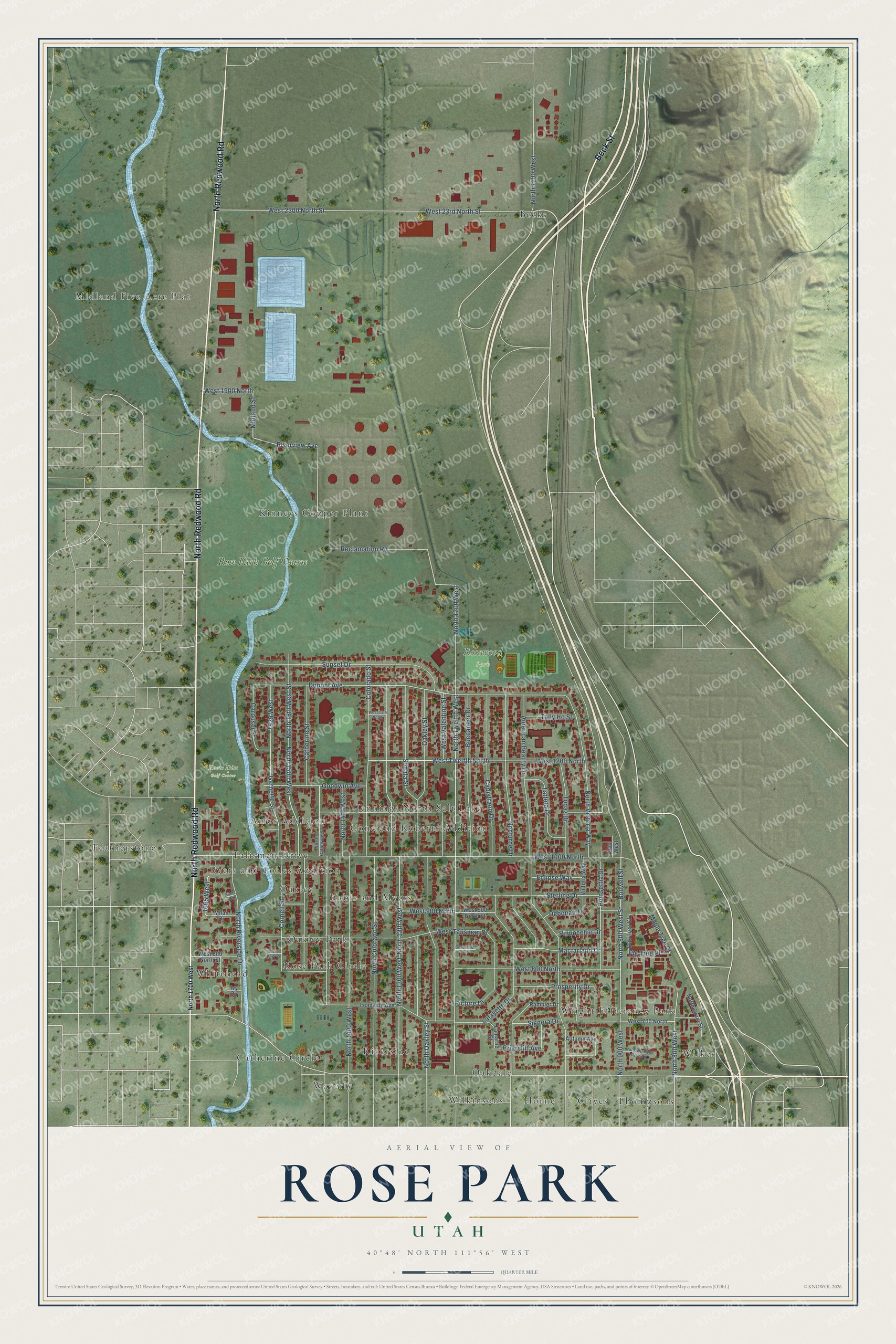
This beautifully detailed map of Rose Park, Utah was created in 2026 using aerial imagery combined with modern topographical, census, street and landmark data. It’s a one-of-a-kind view of Rose Park that combines accurate data with a vintage aesthetic. The map shows every building in its true location, many of the roads carry their names, and the shaded topographic relief shows the shape of the land.
Explore an aerial view of Rose Park, Utah
On the map you’ll find Roots Disc Golf Course, Rosewood Park, Becks, Waverly, Midland Five Acre Plat, Wilkes, Oakley Park, Horne, Kinneys Copper Plant, Cone and Roberts Addition, Whitehead, Kabis and Myers, and more. If you look closely you can even find your house accurately drawn in its correct location. Zoom in on the preview to look for yours.
Take a closer look at the Rose Park map
Names on this map
These names are printed on this map.
Places: Roots Disc Golf Course, Rosewood Park, Becks, Waverly, Midland Five Acre Plat, Wilkes, Oakley Park, Horne, Kinneys Copper Plant, Cone and Roberts Addition, Whitehead, Kabis and Myers, Riverside, Featherstone, Wright Efficiency Park, Thompsons, Amos Addition, Talisman Drive, Rose Park Circle, Wilkinsons, Clives, Byers and Tolles Addition, Catherine Circle, Oakdale, Oakley, Jennings North Salt Lake and Rose Park Golf Course.
Streets and roads: Beck Street, North Redwood Road, Riverview Avenue, Midland Street, Catherine Street, Reclamation Road, North 1200 West, Briarcliff Avenue, Bodwell Street, 1665 West, Dupont Avenue, North 1100 West.
More street names, A to Z
900 West, 1525 West, American Beauty Drive, Autumn Avenue, Buccaneer Drive, Capistrano Drive, Carousel Street, Centennial Circle, Colorado Street, Cornell Street, Debonair Drive, Eclipse Way, Fig Tree Place, Garnette Street, Goodwin Avenue, Ivy Circle, Lafayette Drive, Lamarne Street, Leadville Avenue, Macfarland Drive, Maple Tree Court, Milan Drive, Nocturne Drive, North 13th West, North 14th West, North 15th West Street, North 800 West, North 900 West, North 900 West Street, North 1300 West, North 1400 West, North 1500 West, North 1700 West, North Catherine Street, North Colorado Street, North Diamond Rose Circle, North Grant Street, North Oakley Street, North Riverside Drive, North Twelfth West, North Victoria Way, Oakley Street, Oak Tree Court, Picture Drive, Pinnocchio Drive, Poinsettia Drive, Prosperity Drive, Rambler Drive, Siena Circle, Signora Drive, Sonata Street, Sterling Drive, Sunset Drive, Taffeta Drive, Tally Ho Street, Topaz Drive, Victoria Way, West 13th North, West 23rd North Street, West 700 North, West 800 North, West 800 North Street, West 900 North, West 900 North Street, West 1000 North, West 1200 North, West 1900 North, West 2300 North Street, West Talisman Drive, West Twelfth North, West Valentine Street.
See it on a wall
The Rose Park map as a framed print. Swipe for more.


This beautifully detailed map of Rose Park makes an attractive addition to your office, library, or den, and it can even be used to teach children the geography and history of the area. It also makes a great gift for anyone who grew up in Rose Park or moved away. When you’re done exploring, click here to get your copy of the Rose Park map.