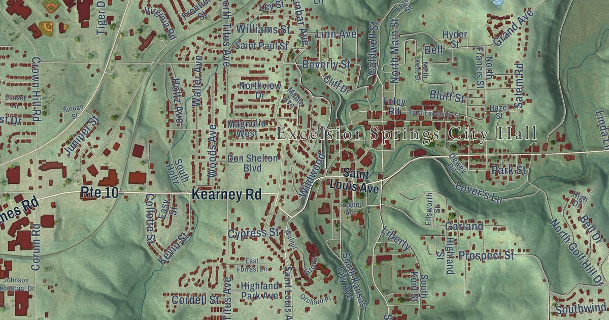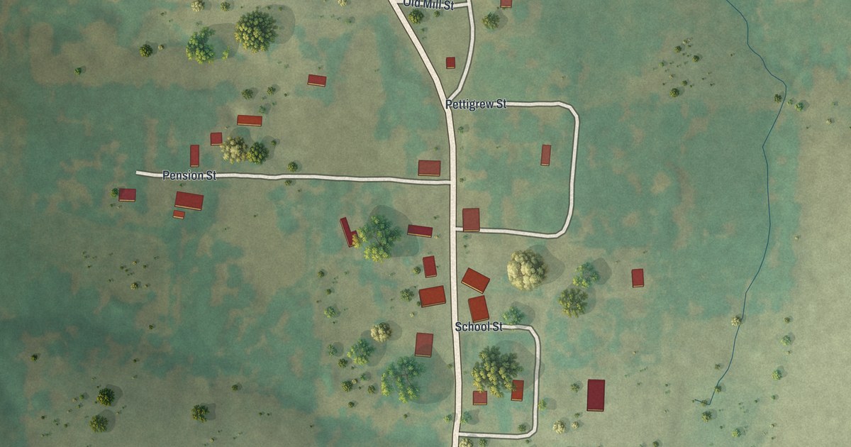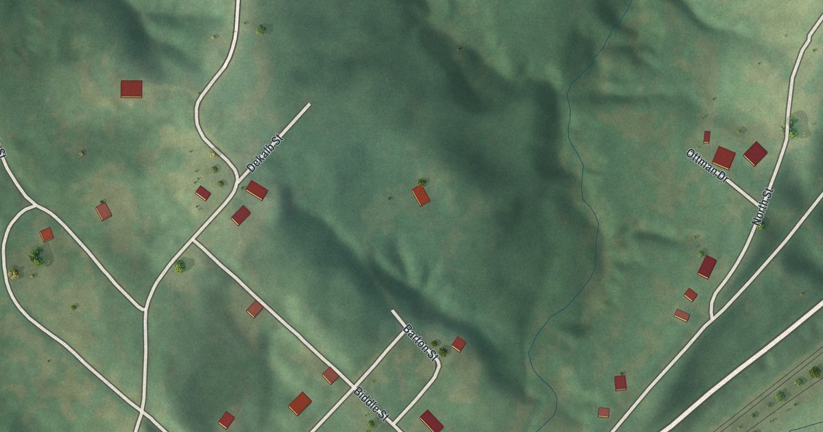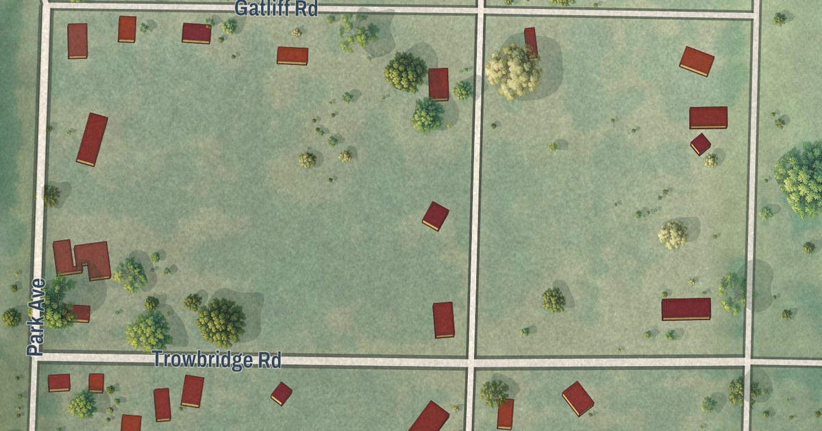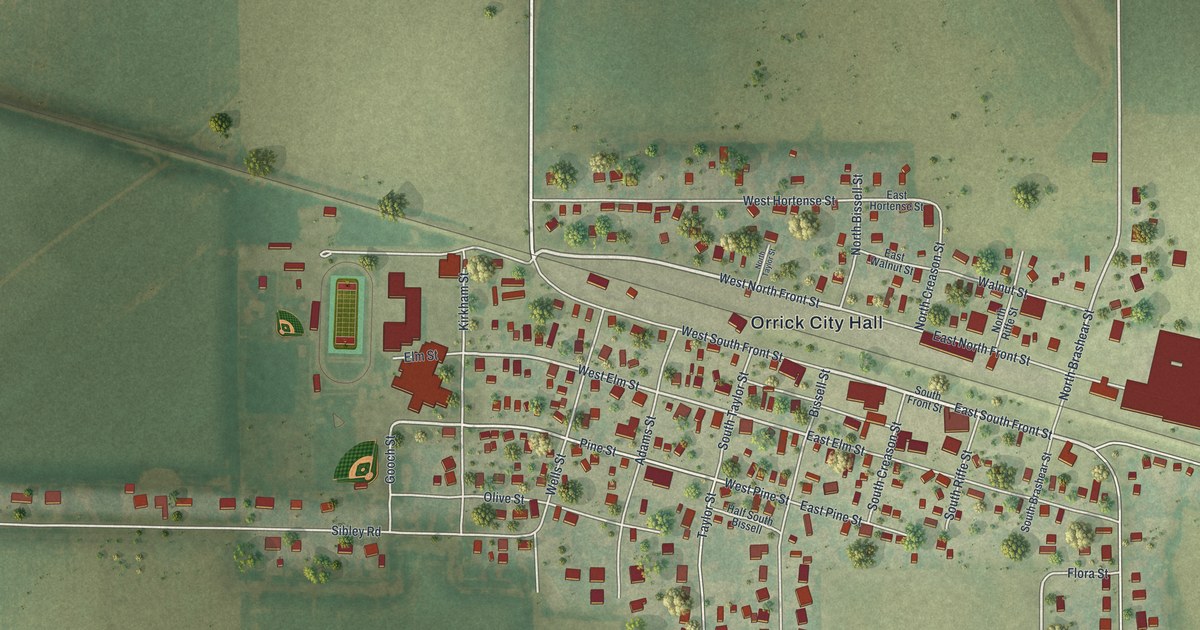
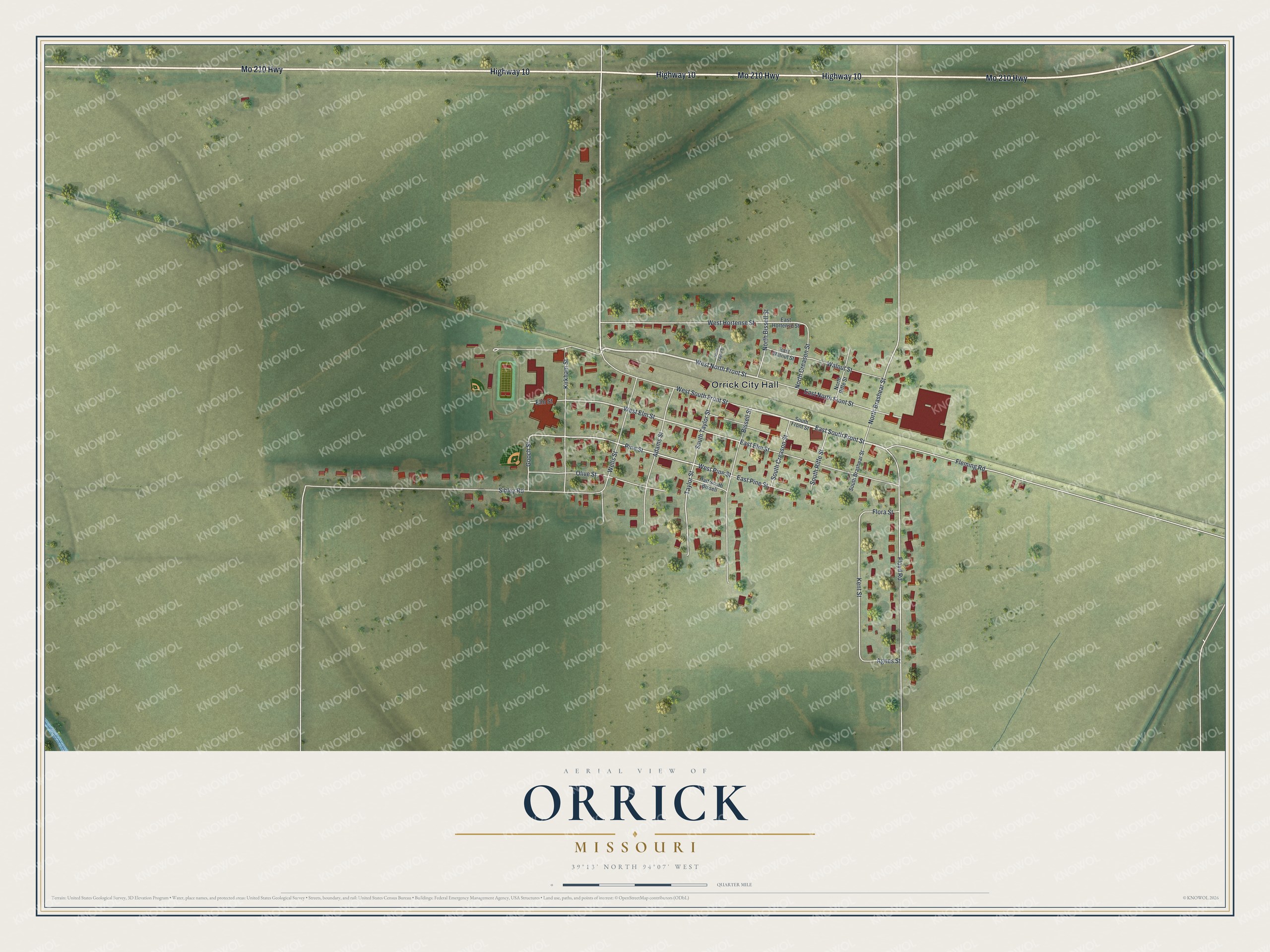
This beautifully detailed map of Orrick, Missouri was created in 2026 using aerial imagery combined with modern topographical, census, street and landmark data. It’s a one-of-a-kind view of Orrick that combines accurate data with a vintage aesthetic. The map shows every building in its true location, many of the roads carry their names, and the shaded topographic relief shows the shape of the land.
Explore an aerial view of Orrick, Missouri
On the map you’ll find Orrick City Hall, along with Highway 10, Mo 210 Highway, West North Front Street, East South Front Street, West Pine Street, North Brashear Street, West Elm Street, Kent Street, Sibley Road, West South Front Street, Floyd Road, and more. If you look closely you can even find your house accurately drawn in its correct location. Zoom in on the preview to look for yours.
Did you know this piece of Orrick, Missouri history?
From the State Historical Society of Missouri: "It was laid off in 1869 by the Northern Missouri Railroad and named for a railroad official, W.W. Orrick of St. Charles, Missouri."
Take a closer look at the Orrick map
Street and place names on the Orrick, Missouri map
These names are printed on the map of Orrick, Missouri.
Places: Orrick City Hall.
Streets and roads: Highway 10, Mo 210 Highway, West North Front Street, East South Front Street, West Pine Street, North Brashear Street, West Elm Street, Kent Street, Sibley Road, West South Front Street, Floyd Road, Bissell Street.
More street names, A to Z
Adams Street, Agnes Street, East Elm Street, East Hortense Street, East North Front Street, East Pine Street, East Walnut Street, Elm Street, Fleming Road, Flora Street, Gooch Street, Half South Bissell, Kirkham Street, North Bissell Street, North Creason Street, North Riffe Street, North Taylor Street, Olive Street, Pine Street, South Brashear Street, South Creason Street, South Front Street, South Riffe Street, South Taylor Street, Taylor Street, Walnut Street, Wells Street, West Hortense Street.
See the Orrick, Missouri map on a wall
The Orrick map as an 18 x 24 inch print in a black frame.

This beautifully detailed map of Orrick makes an attractive addition to your office, library, or den, and it can even be used to teach children the geography and history of the area. It also makes a great gift for anyone who grew up in Orrick or moved away. When you’re done exploring, click here to get your copy of the Orrick map.