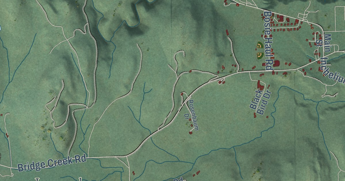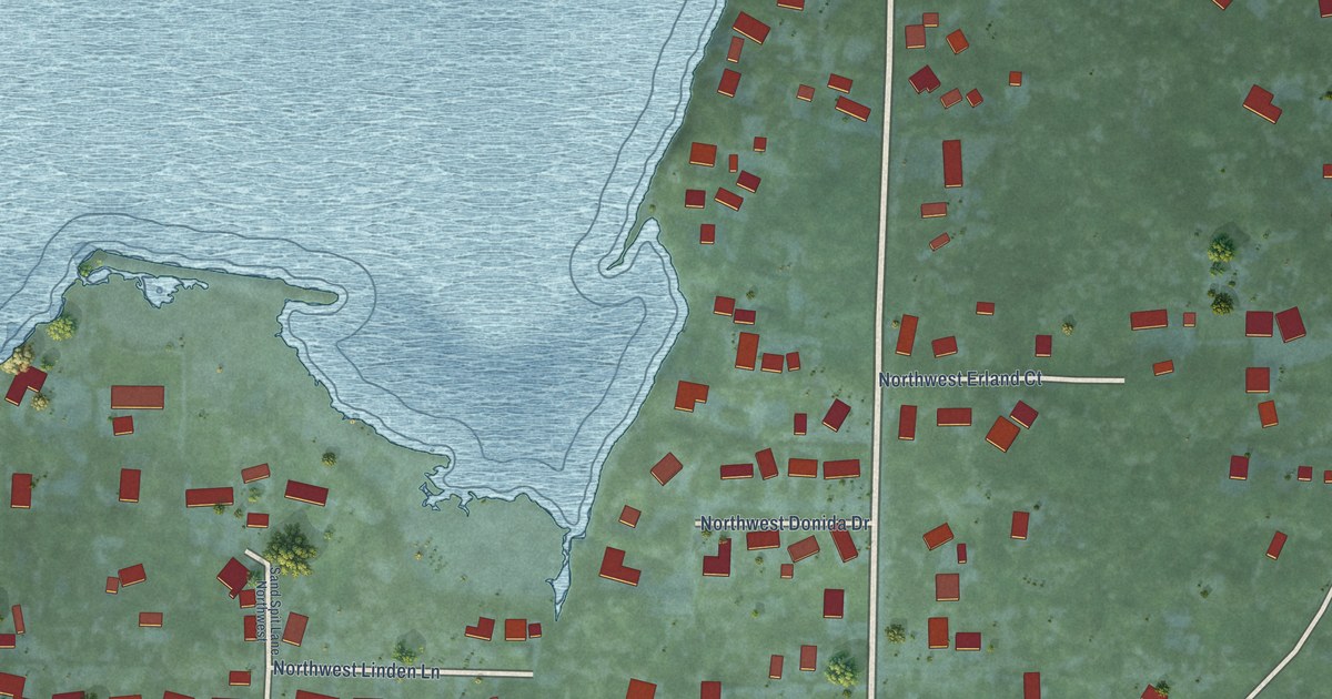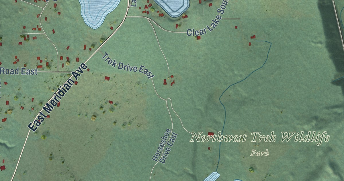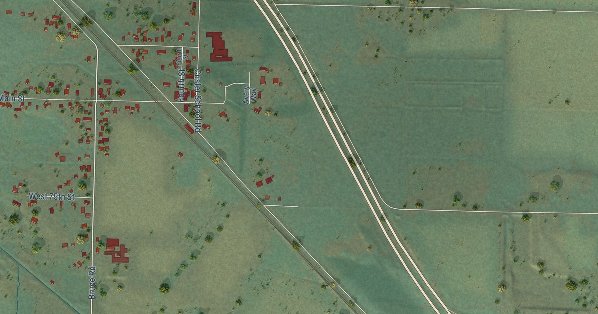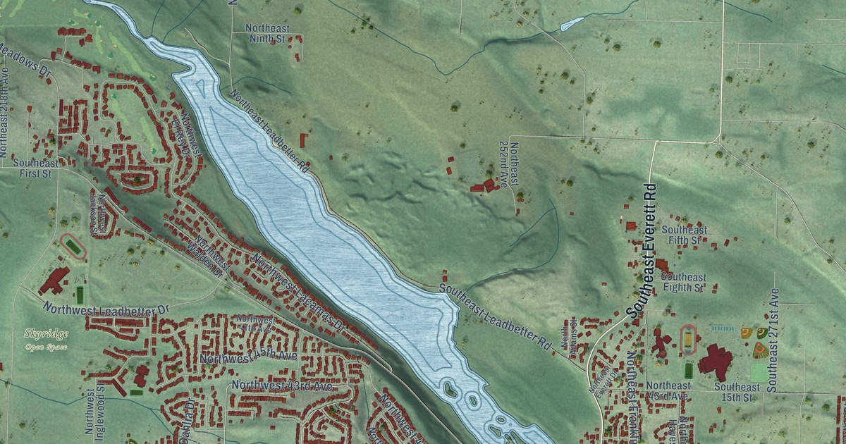
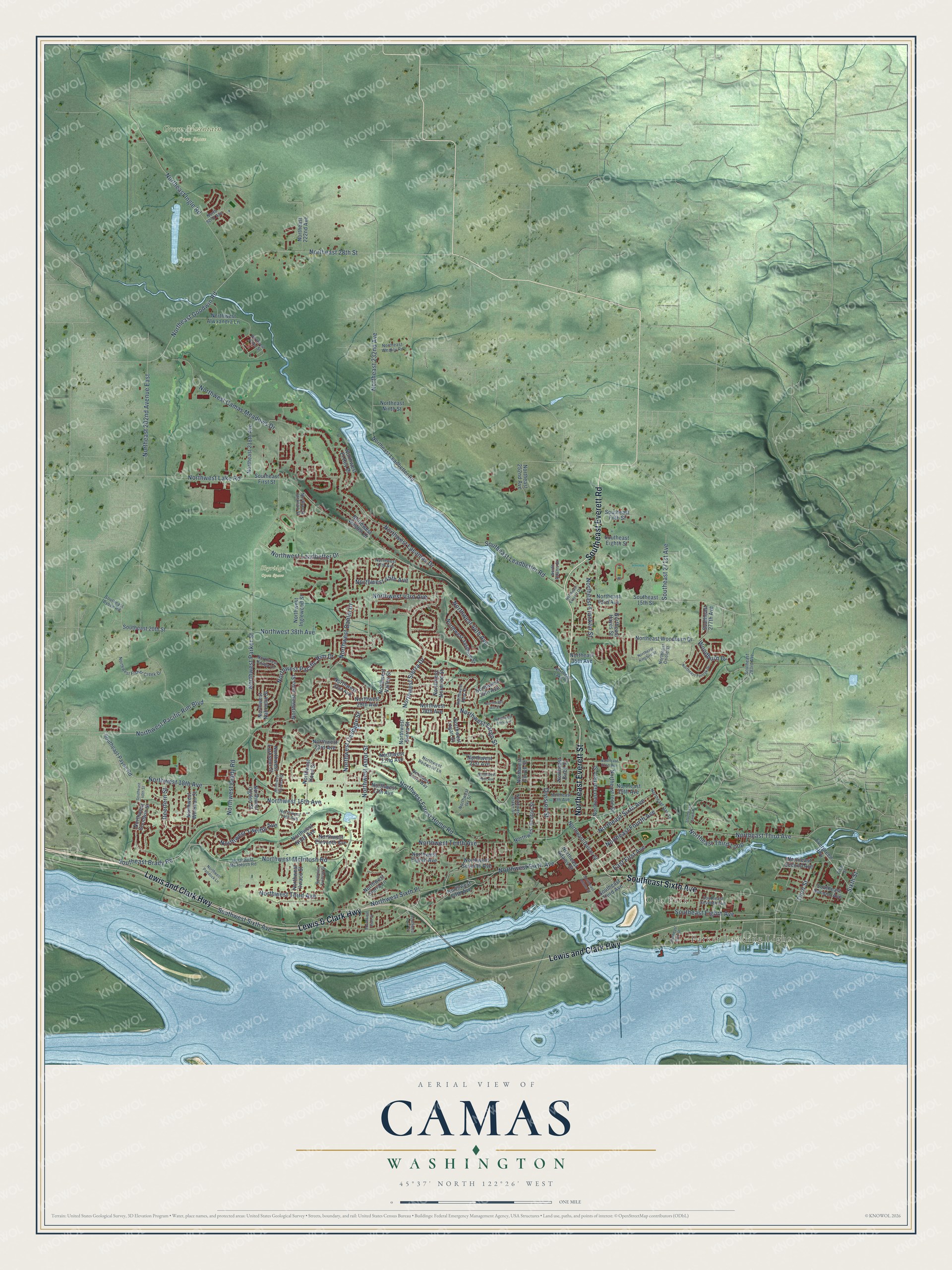
This beautifully detailed map of Camas, Washington was created in 2026 using aerial imagery combined with modern topographical, census, street and landmark data. It’s a one-of-a-kind view of Camas that combines accurate data with a vintage aesthetic. The map shows every building in its true location, many of the roads carry their names, and the shaded topographic relief shows the shape of the land.
Explore an aerial view of Camas, Washington
On the map you’ll find Parker Landing Light, Oak Park, Green Mountain Open Space, and Skyridge Open Space, along with Northeast Everett Street, Southeast Sixth Avenue, Southeast Everett Road, Lewis and Clark Highway, Lewis & Clark Highway, Northwest Pacific Rim Boulevard, Northwest Pacific Rim Drive, Northeast 28th Street, and more. If you look closely you can even find your house accurately drawn in its correct location. Zoom in on the preview to look for yours.
Did you know this piece of Camas, Washington history?
From HistoryLink.org: "American explorers Lewis and Clark first stopped at Camas in November 1805 while traveling down the Columbia to the sea."
Take a closer look at the Camas map
Street and place names on the Camas, Washington map
These names are printed on the map of Camas, Washington.
Places: Parker Landing Light, Oak Park, Green Mountain Open Space and Skyridge Open Space.
Streets and roads: Northeast Everett Street, Southeast Sixth Avenue, Southeast Everett Road, Lewis and Clark Highway, Lewis & Clark Highway, Northwest Pacific Rim Boulevard, Northwest Pacific Rim Drive, Northeast 28th Street, Northwest Astor Street, Northwest 43rd Avenue, Northwest Sierra Drive, Northeast Goodwin Road.
More street names, A to Z
Deerfern Street, Division Street, East First Avenue, Evergreen Highway, Fifth Street, North 92nd Avenue, North Adams Street, Northeast 17th Avenue, Northeast 19th Avenue, Northeast 22nd Avenue, Northeast 35th Avenue, Northeast 43rd Avenue, Northeast 202nd Avenue East, Northeast 218th Avenue, Northeast 222nd Avenue, Northeast 232nd Avenue, Northeast 252nd Avenue, Northeast Adams Street, Northeast Birch Street, Northeast Dallas Street, Northeast Everett Drive, Northeast Fourth Avenue, Northeast Franklin Street, Northeast Garfield Street, Northeast Hayes Street, Northeast Ingle Road, Northeast Ione Street, Northeast Kingbird Street, Northeast Lake Road, Northeast Leadbetter Road, Northeast Ninth Street, Northeast Oak Street, Northeast Oriole Street, Northeast Second Avenue, Northeast Sixth Avenue, Northeast Tanoak Drive, Northeast Third Avenue, Northeast Third Loop, Northeast Weakly Road, Northeast Woodburn Drive, Northwest 14th Avenue, Northwest 16th Avenue, Northwest 17th Avenue, Northwest 18th Avenue, Northwest 19th Avenue, Northwest 21st Avenue, Northwest 22nd Avenue, Northwest 23rd Avenue, Northwest 27th Avenue, Northwest 28th Avenue, Northwest 29th Avenue, Northwest 30th Avenue, Northwest 31st Avenue, Northwest 38th Avenue, Northwest 44th Avenue, Northwest 45th Avenue, Northwest 47th Avenue, Northwest Alwxandra Lane, Northwest Benton Street, Northwest Brady Road, Northwest Camas Meadows Drive, Northwest Cascade Street, Northwest Couch Street, Northwest Dahlia Drive, Northwest Drake Street, Northwest Eighth Avenue, Northwest Eleventh Avenue, Northwest El Rey Drive, Northwest Fargo Street, Northwest Fifth Avenue, Northwest Fisher Creek Drive, Northwest Forest Home Road, Northwest Fremont Street, Northwest Goodwin Street, Northwest Hill Street, Northwest Hood Street, Northwest Ilwaco Street, Northwest Inglewood Street, Northwest Ivy Street, Northwest Jackson Street, Northwest Jasmine Street, Northwest Julia Street, Northwest Kent Street, Northwest Klickitat Street, Northwest Knapp Lane, Northwest Lacamas Drive, Northwest Lake Road, Northwest Larkspur Street, Northwest Leadbetter Drive, Northwest Logan Street, Northwest McIntosh Road, Northwest Mc Intosh Road, Northwest Nahcotta Street, Northwest Ninth Avenue, Northwest Norwood Street, Northwest Ogden Street, Northwest Paddock Lane, Northwest Parker Street, Northwest Payne Street, Northwest Redwood Lane, Northwest Seventh Avenue, Northwest Sierra Lane, Northwest Sierra Street, Northwest Sierra Way, Northwest Sixth Avenue, Northwest Sixth Place, Northwest Tenth Avenue, Northwest Third Avenue, Northwest Twelfth Avenue, Northwest Valley Street, Northwest Walden Drive, Northwest Whitman Street, Sixth Street, Southeast 15th Street, Southeast 20th Street, Southeast 40th Street, Southeast 271st Avenue, Southeast 277th Avenue, Southeast 283rd Avenue, Southeast Adams Street, Southeast Brady Road, Southeast Bybee Road, Southeast Crown Road, Southeast Eighth Avenue, Southeast Eighth Street, Southeast Fifth Street, Southeast First Street, Southeast Leadbetter Road, Southeast Payne Road, Southeast Polk Street, Southeast Second Avenue, Southeast Seventh Avenue, Southeast Third Avenue, Southwest Park Street, Southwest Sixth Avenue, Southwest Utah Street, Third Street, Woodburn Drive.
See the Camas, Washington map on a wall
The Camas map as an 18 x 24 inch print in a black frame.

This beautifully detailed map of Camas makes an attractive addition to your office, library, or den, and it can even be used to teach children the geography and history of the area. It also makes a great gift for anyone with Camas roots. When you’re done exploring, click here to get your copy of the Camas map.