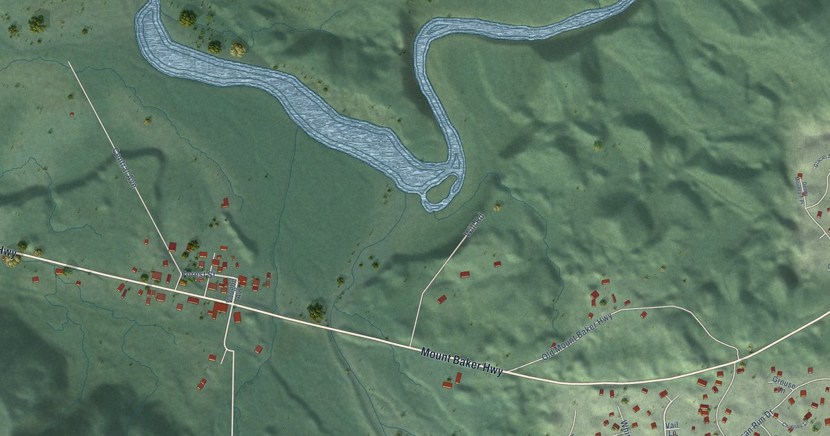
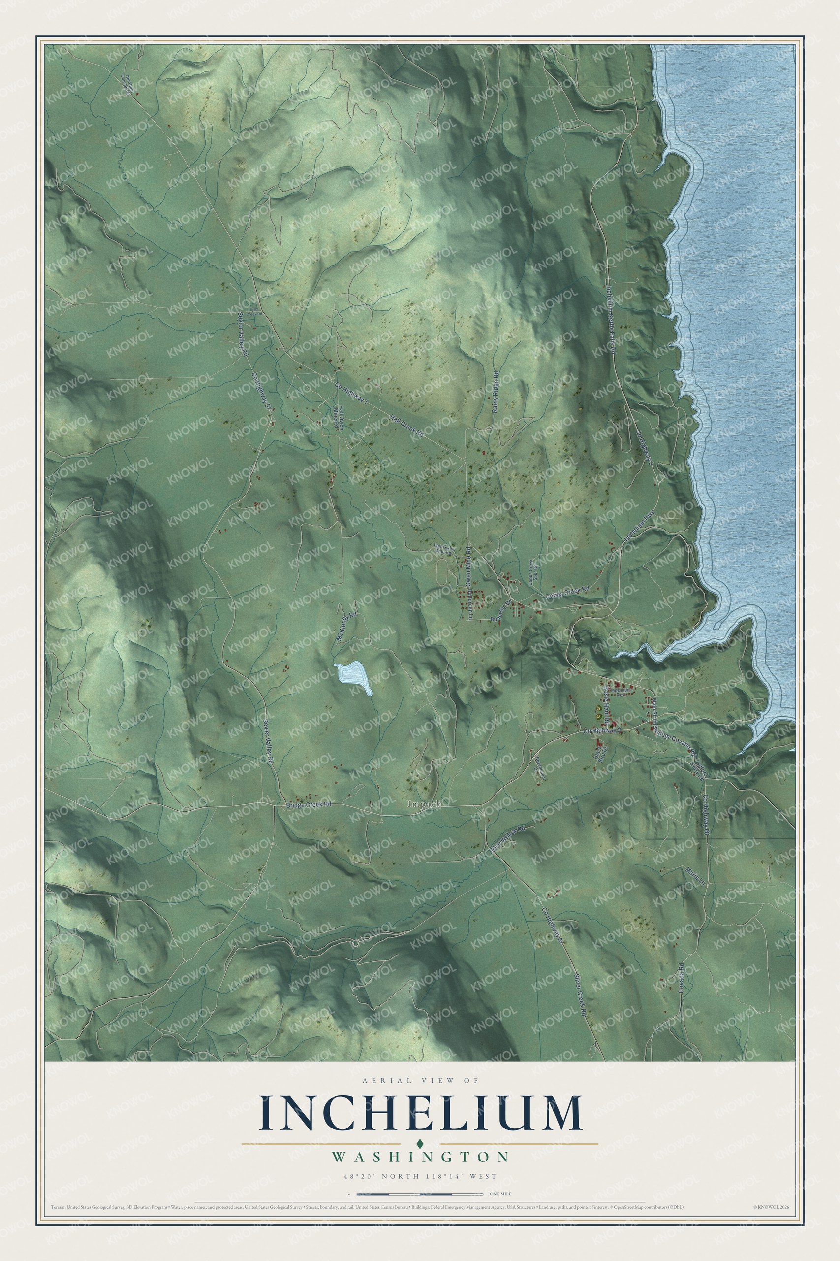
This beautifully detailed map of Inchelium, Washington was created in 2026 using aerial imagery combined with modern topographical, census, street and landmark data. It's a modern aerial view of Inchelium in Ferry County, Washington, that combines modern data with a vintage aesthetic. The roads feature printed names, and if you look closely you can find your exact house accurately shown in its correct location.
Explore an aerial view of Inchelium, Washington
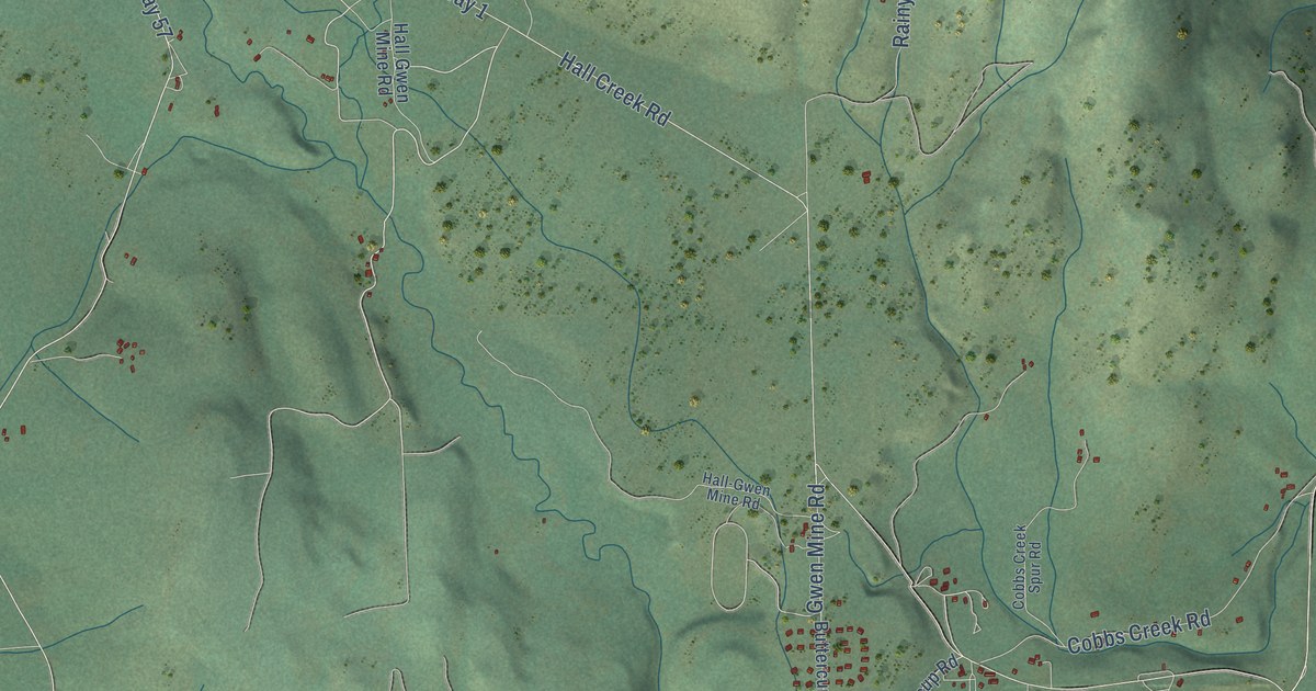
On this map you'll find Impach, Co Highway 2, Bridge Creek Road, Gwen Mine Road, Co Highway 1, Hall Creek Road, Inchelium-Covada Road, Inchelium Highway, Inchelium Kettle Falls Road, Co Highway 57, Seyler Valley Road, Seylor Valley Road, and more. Each red shape is a building, so zoom in on the preview and look for yours.
Here is a piece of Inchelium history. Inchelium is the English form of a Colville-Okanogan name meaning hitting against the bank. The name first belonged to a major village on the south bank of Hall Creek, now under the water, where about 150 people lived year round around 1855. From the early 1900s into the late 1930s, Old Inchelium held big Fourth of July celebrations. People came from other reservations to camp and join the races. That's from the Colville Confederated Tribes.
Inchelium is a community in Ferry County. The Census Bureau counted 431 people here in 2020.
Take a closer look at the Inchelium map
Names on this map
These names are printed on this map.
Places: Impach.
Streets and roads: County Highway 2, Bridge Creek Road, Gwen Mine Road, County Highway 1, Hall Creek Road, Inchelium-Covada Road, Inchelium Highway, Inchelium Kettle Falls Road, County Highway 57, Seyler Valley Road, Seylor Valley Road, County Highway 3.
More street names, A to Z
Abraham Canyon Road, Black Bird Drive, Blue Willow Road, Bosie Haul Road, Buttercup Lane, Buttercup Road, Cobbs Creek Road, Cobbs Creek Spur Road, County Highway 67, County Highway 68, Covada Road, Gifford Ferry Road, Hall-Gwen Mine Road, Hall Gwen Mine Road, Lynx Creek Road, Main Street, Marie Lane, McKinney Road, Moccasin Rest, Rainy Ridge Road, Rosenbaum Drive, Silver Creek Road.
See it on a wall
The Inchelium map as a framed print. Swipe for more.


Created by KNOWOL in 2026. The buildings are small red shapes, the roads carry their printed names, and shaded relief shows the shape of the land. The title panel reads "AERIAL VIEW OF INCHELIUM, WASHINGTON" with 48°20' NORTH 118°14' WEST.
It suits a den, a classroom or a front hall, and it makes a gift for anyone with Inchelium roots. Open the preview and find the block you know. See sizes and frames for the Inchelium map.