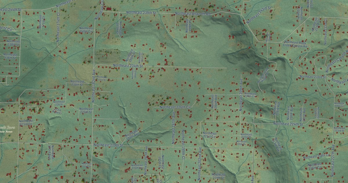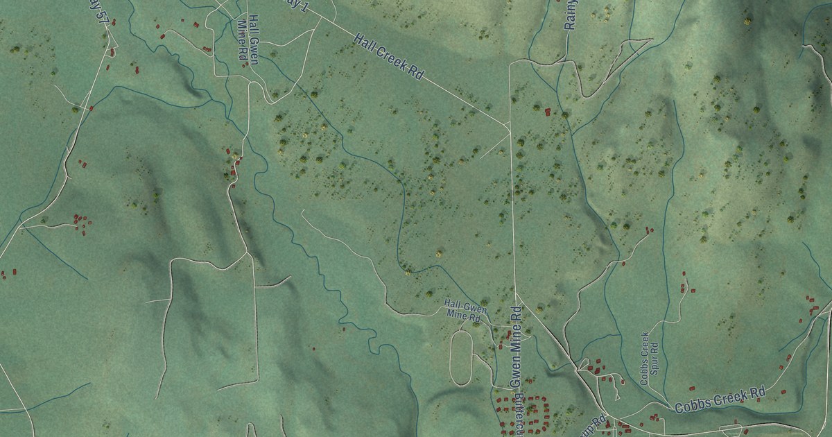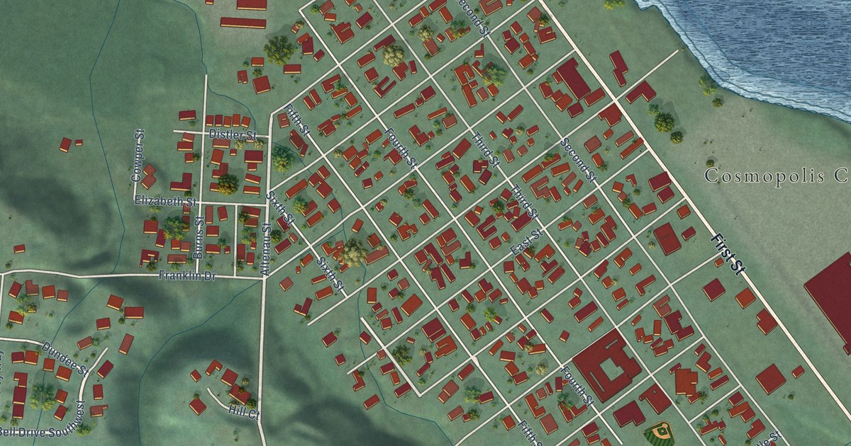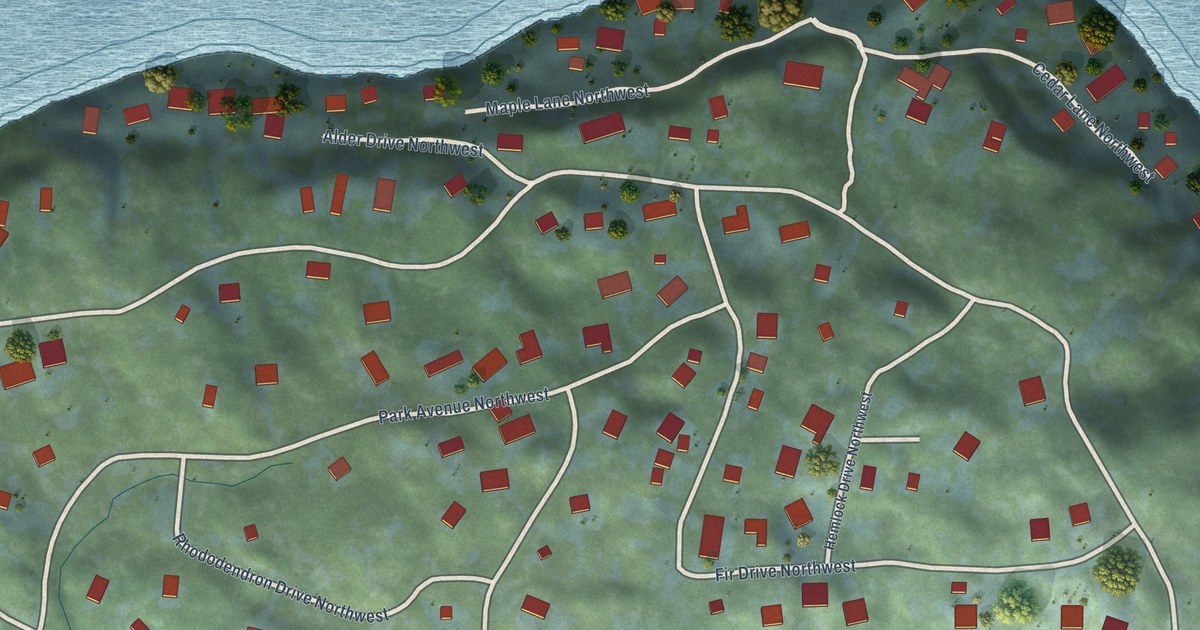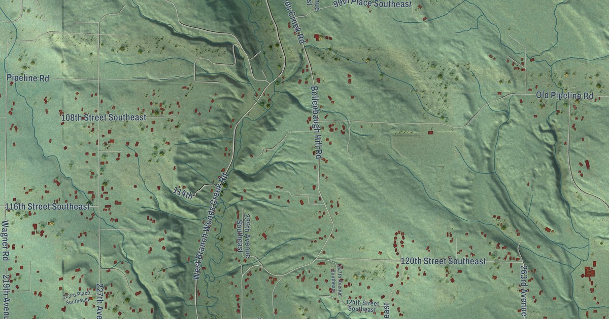
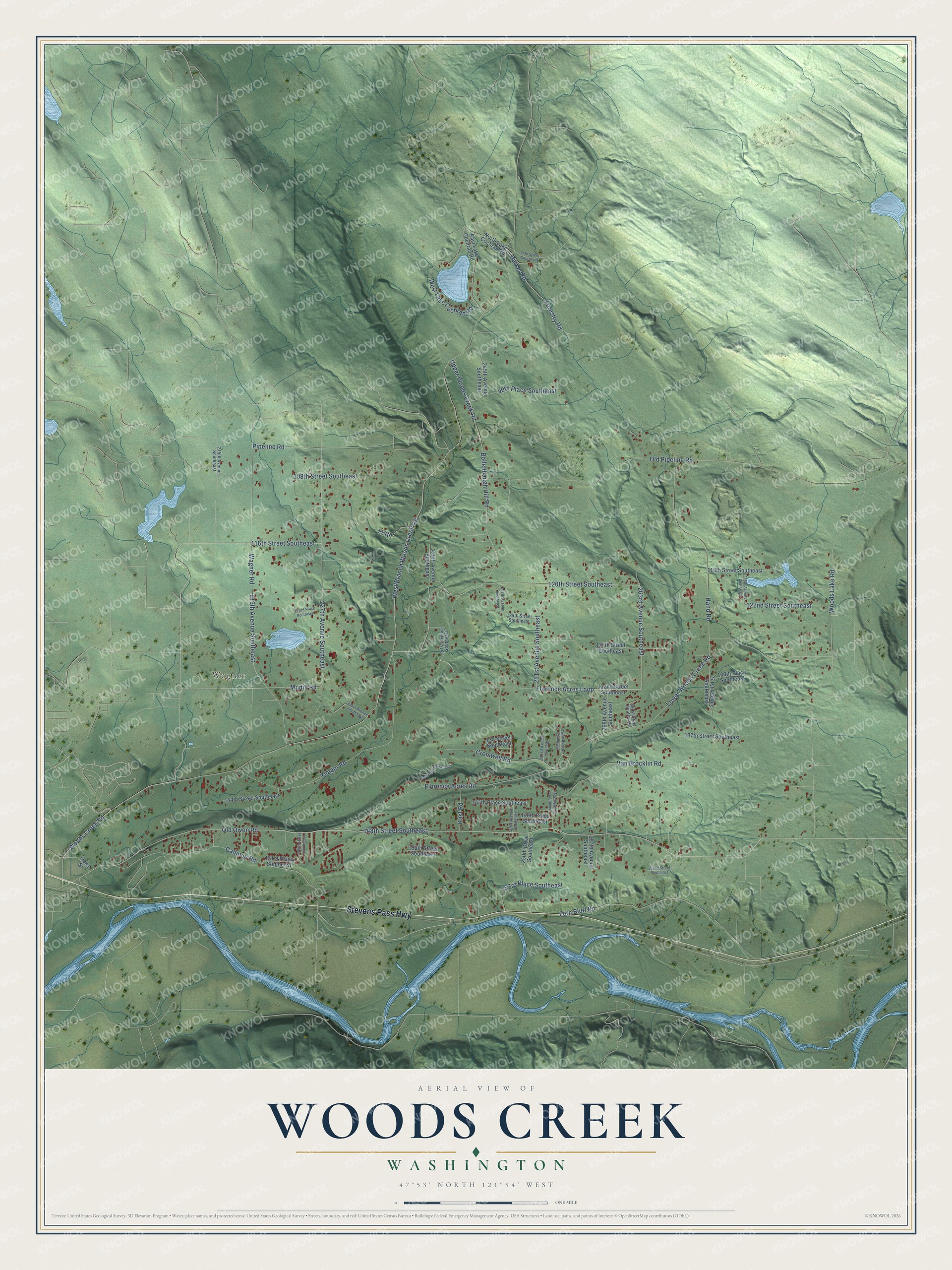
This beautifully detailed map of Woods Creek, Washington was created in 2026 using aerial imagery combined with modern topographical, census, street and landmark data. It's a modern aerial view of Woods Creek in Snohomish County, Washington, that combines modern data with a vintage aesthetic. The roads feature printed names, and if you look closely you can find your exact house accurately shown in its correct location.
Explore an aerial view of Woods Creek, Washington
On this map you'll find Wagner, Stevens Pass Highway, Florence Acres Loop, Old Owen Road, Woods Creek Road, 148th Street Southeast, West Branch Woods Creek Road, Florence Acres Road, Old Pipeline Road, Bollenbaugh Hill Road, Upper Woods Creek Road, Woods Lake Road, and more. Each red shape is a building, so zoom in on the preview and look for yours.
Every town has a first chapter, and Woods Creek is no exception. Woods Creek is named for Salem Woods, who staked a claim at Woods Prairie in the lower Woods Creek valley. He served Snohomish County as assessor and sheriff, and as assessor he took the county's first census in 1862. That's from the Monroe Historical Society.
Woods Creek is a community in Snohomish County. The Census Bureau counted 6,017 people here in 2020.
Take a closer look at the Woods Creek map
Names on this map
These names are printed on this map.
Places: Wagner.
Streets and roads: Stevens Pass Highway, Florence Acres Loop, Old Owen Road, Woods Creek Road, 148th Street Southeast, West Branch Woods Creek Road, Florence Acres Road, Old Pipeline Road, Bollenbaugh Hill Road, Upper Woods Creek Road, Woods Lake Road, Wagner Road.
More street names, A to Z
84th Street Southeast, 99th Place Southeast, 108th Street Southeast, 114th, 116th Street Southeast, 118th Street Southeast, 120th Street Southeast, 122nd Street Southeast, 123rd Place Southeast, 124th Street Southeast, 127th Street Southeast, 130th Place Southeast, 132nd Street Southeast, 137th Street Southeast, 138 Street Southeast, 144th Place Southeast, 144th Street Southeast, 146th Place Southeast, 150th Street Southeast, 151st Place Southeast, 152nd Street Southeast, 153rd Place Southeast, 215th Avenue Southeast, 219th Avenue Southeast, 225th Street Southeast, 227th Avenue Southeast, 231st Avenue Southeast, 238th Drive Southeast, 239th Avenue Southeast, 241st Avenue Southeast, 245th Avenue Southeast, 247th Avenue Southeast, 249th Avenue Southeast, 250th Drive Southeast, 251st Avenue Southeast, 252nd Avenue Southeast, 253rd Avenue Southeast, 254th Avenue Southeast, 257th Avenue Southeast, 259th Avenue Southeast, 261st Drive Southeast, 263rd Avenue Southeast, 271st Avenue Southeast, 275th Avenue Southeast, Calhoun Road, Cromwell Road, East Lake Cochran Road, Fern Bluff Road, Forestry Road, Hand Road, Kast Road, Lower Woods Creek Road, Modill Road, North Lake Cochran Road, Oaks Street, Parker Road, Pipeline Road, Van Brocklin Road, West Lake Cochran Road, Yeager Road.
See it on a wall
The Woods Creek map as a framed print. Swipe for more.


Created by KNOWOL in 2026. The buildings are small red shapes, the roads carry their printed names, and shaded relief shows the shape of the land. The title panel reads "AERIAL VIEW OF WOODS CREEK, WASHINGTON" with 47°53' NORTH 121°54' WEST.
Hang it in the hallway, the office or the cabin, or give it to someone who left Woods Creek and still calls it home. Open the preview and look for a street you know. See sizes and frames for the Woods Creek map.