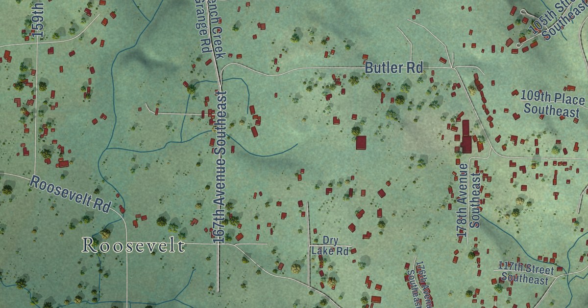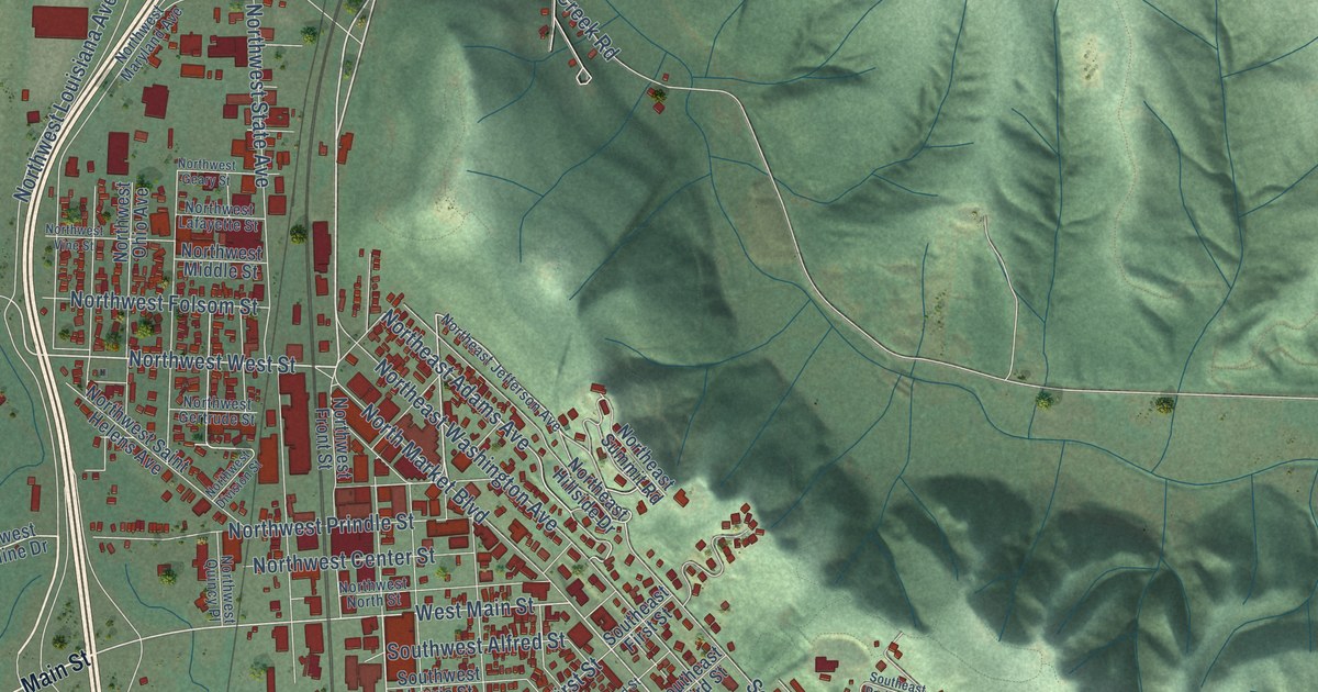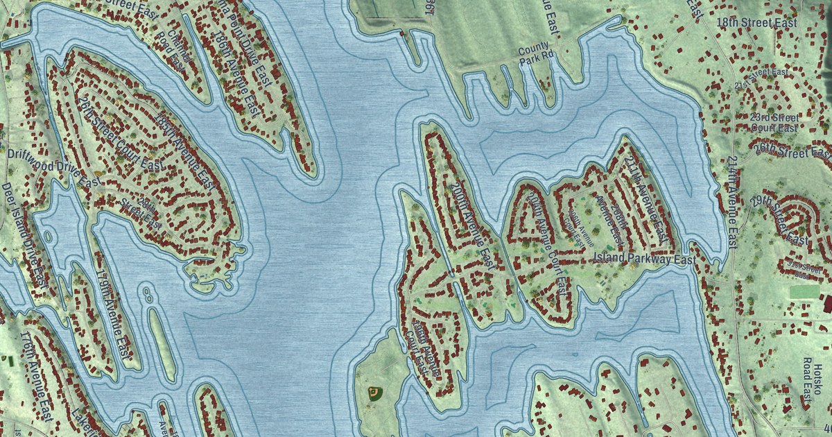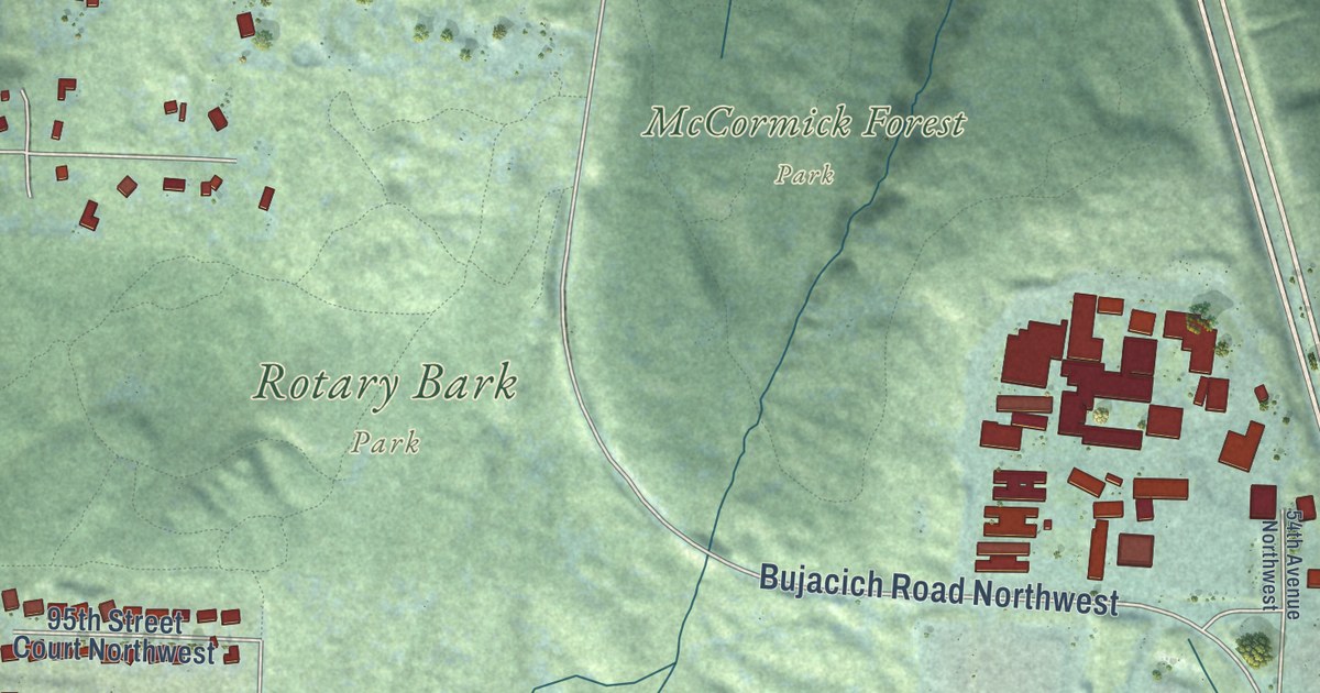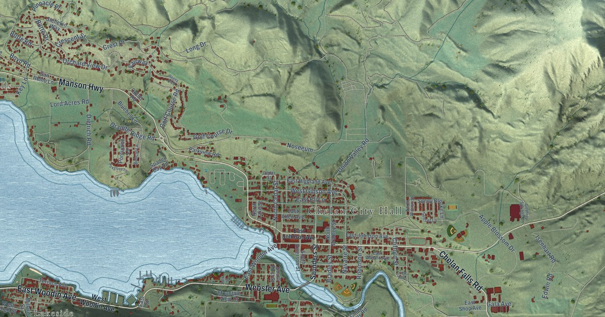
This beautifully detailed map of Chelan, Washington was created in 2026 using aerial imagery combined with modern topographical, census, street and landmark data. It’s a one-of-a-kind view of Chelan that combines accurate data with a vintage aesthetic. The map shows every building in its true location, many of the roads carry their names, and the shaded topographic relief shows the shape of the land.
Explore an aerial view of Chelan, Washington
On the map you’ll find Chelan City Hall, Lake Chelan Hills, and Lakeside, along with East Woodin Avenue, Manson Highway, Chelan Falls Road, Webster Avenue, Long Drive, Golf Course Road, North Cedar Street, Bradley Street, Willmorth Drive, and more. If you look closely you can even find your house accurately drawn in its correct location. Zoom in on the preview to look for yours.
Did you know this piece of Chelan, Washington history?
From HistoryLink.org: "The first non-Indians to live in the Chelan and Wenatchee valleys were Chinese prospectors looking for gold in the rivers and streams, starting in about 1863."
Take a closer look at the Chelan map
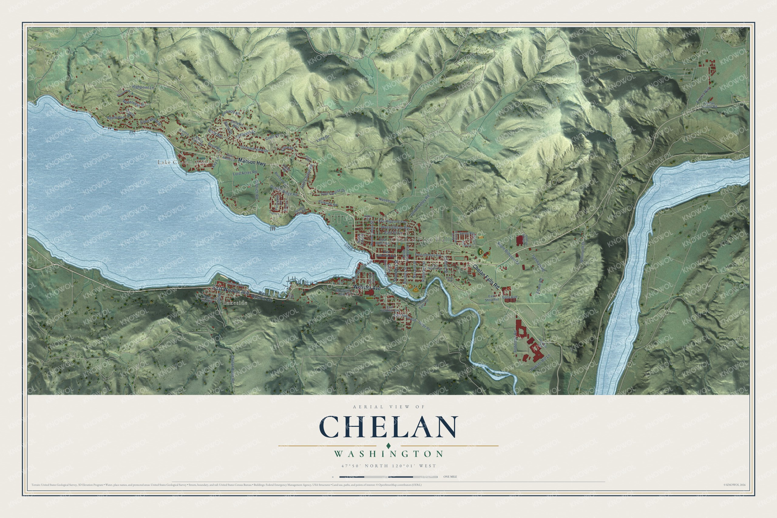
Street and place names on the Chelan, Washington map
These names are printed on the map of Chelan, Washington.
Places: Chelan City Hall, Lake Chelan Hills and Lakeside.
Streets and roads: East Woodin Avenue, Manson Highway, Chelan Falls Road, Webster Avenue, Long Drive, Golf Course Road, North Cedar Street, Bradley Street, Willmorth Drive, Clifford Street, West Gibson Avenue, Highpoint Lane.
More street names, A to Z
Airport Way, Anderson Road, Apple Avenue, Apple Blossom Drive, Bluebell Lane, Bobcat Lane, Bogey Boulevard, Boyd Road, Butte Drive, Butte Road, Cedar Street, Chelan Airport Road, Chelan Butte Road, Chiari Falls Road, Cotler Road, Crescent Street, Crest Drive, Crystal Drive, Dietrich Road, East Allen Avenue, East Eli Lane, East Franklin Avenue, East Highland Avenue, East Iowa Avenue, East Johnson Avenue, East Shop Avenue, East Street, East Wapato Avenue, Edwin Road, Eldorado Way, Fairway, Foxglove Lane, Gala Avenue, Godfrey Springs Lane, Golf Course Drive, Gorge Road, Granite Ridge Road, Howser Hill Lane, Howser Road, Isenhart Road, Key Lane, Lord Acres Road, Millard Street, Monte Carlo Drive, Mountain View Drive, Navarre Street, North Bradley Street, North Lake Street, North Wilson Street, Noseeum, Orchard View Drive, Park Street, Parkview Road, Pinnacle Place, Porcupine Lane, Riviera Drive, Robinson Street, San Remo Lane, Saunders Street, South Emerson Street, South First Street, Spader Bay Road, Stehekin Way, Sunny Brooke Lane, Sunset Lane, Terrace Avenue, Trow Avenue, Union Valley Road, Waterview Drive, West High Street, Westview Drive, West Woodin Avenue.
See the Chelan, Washington map on a wall
The Chelan map as an 18 x 24 inch print in a black frame.

This beautifully detailed map of Chelan makes an attractive addition to your office, library, or den, and it can even be used to teach children the geography and history of the area. It also makes a great gift for anyone who grew up in Chelan or moved away. When you’re done exploring, click here to get your copy of the Chelan map.