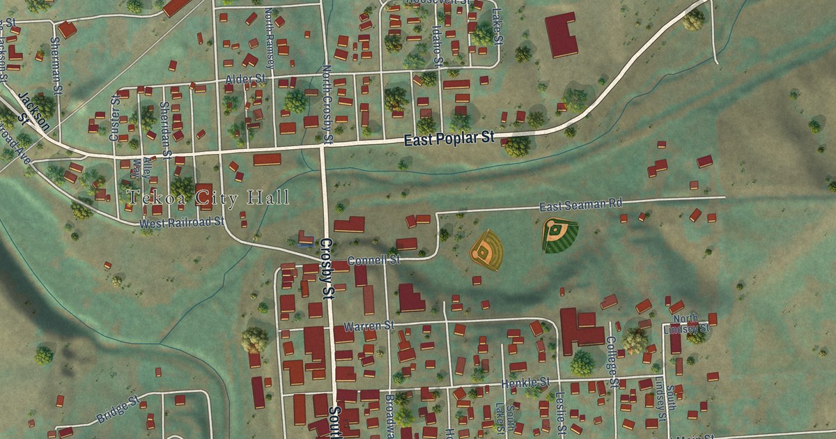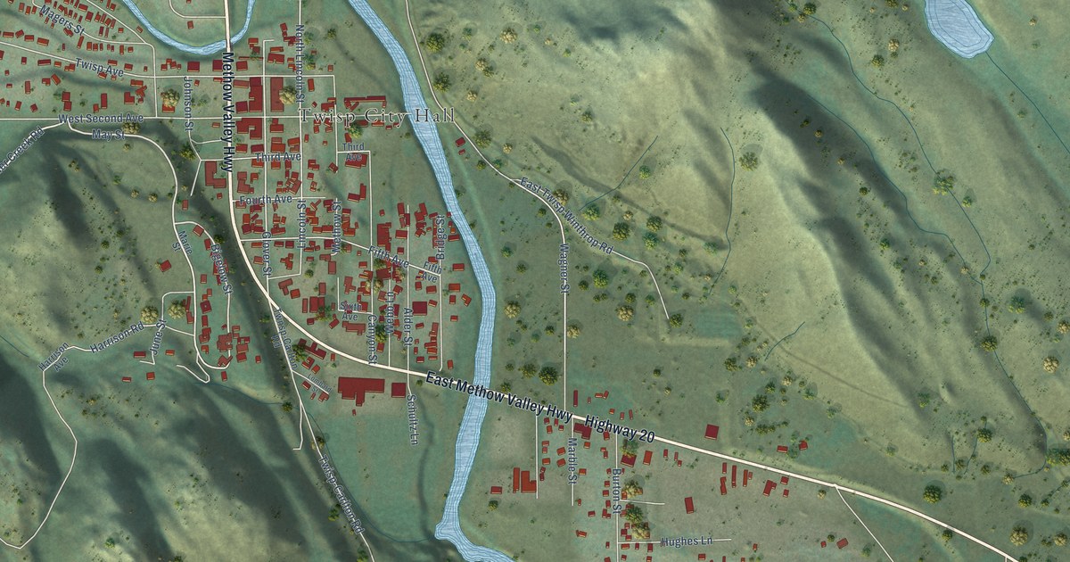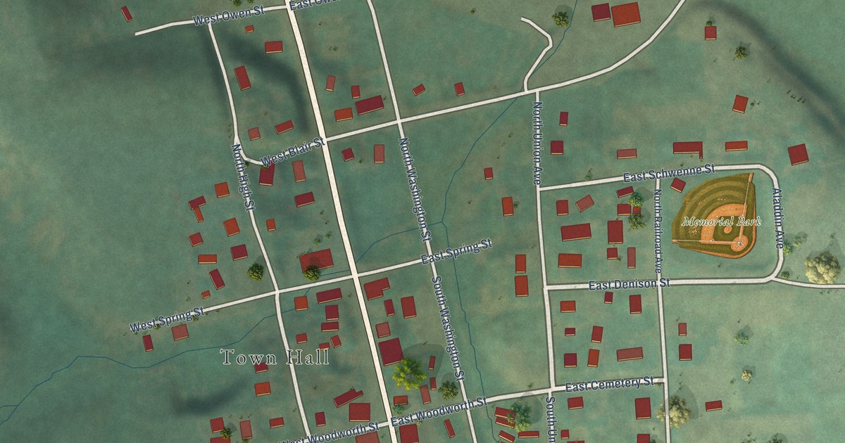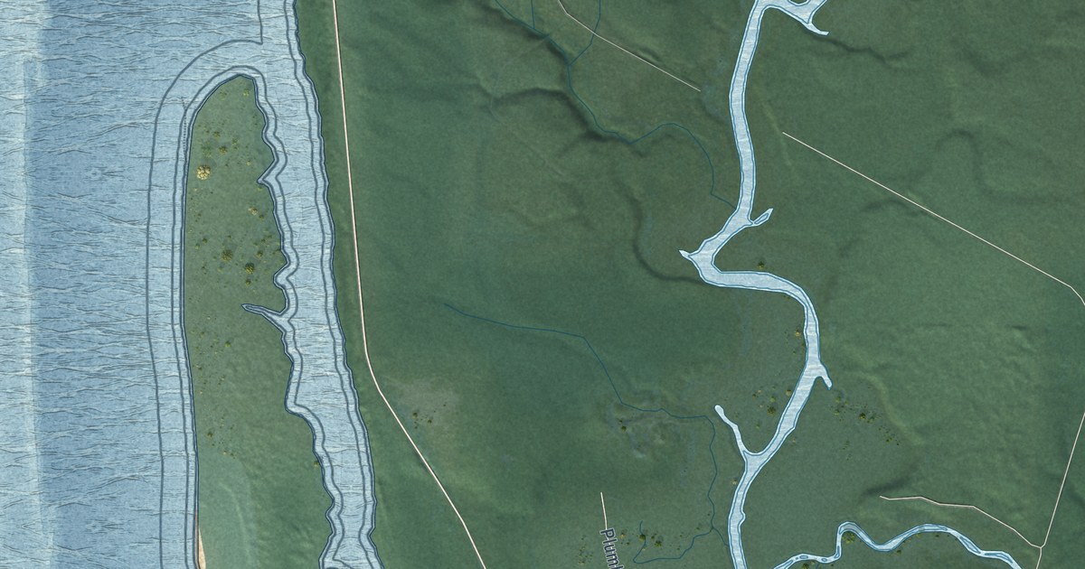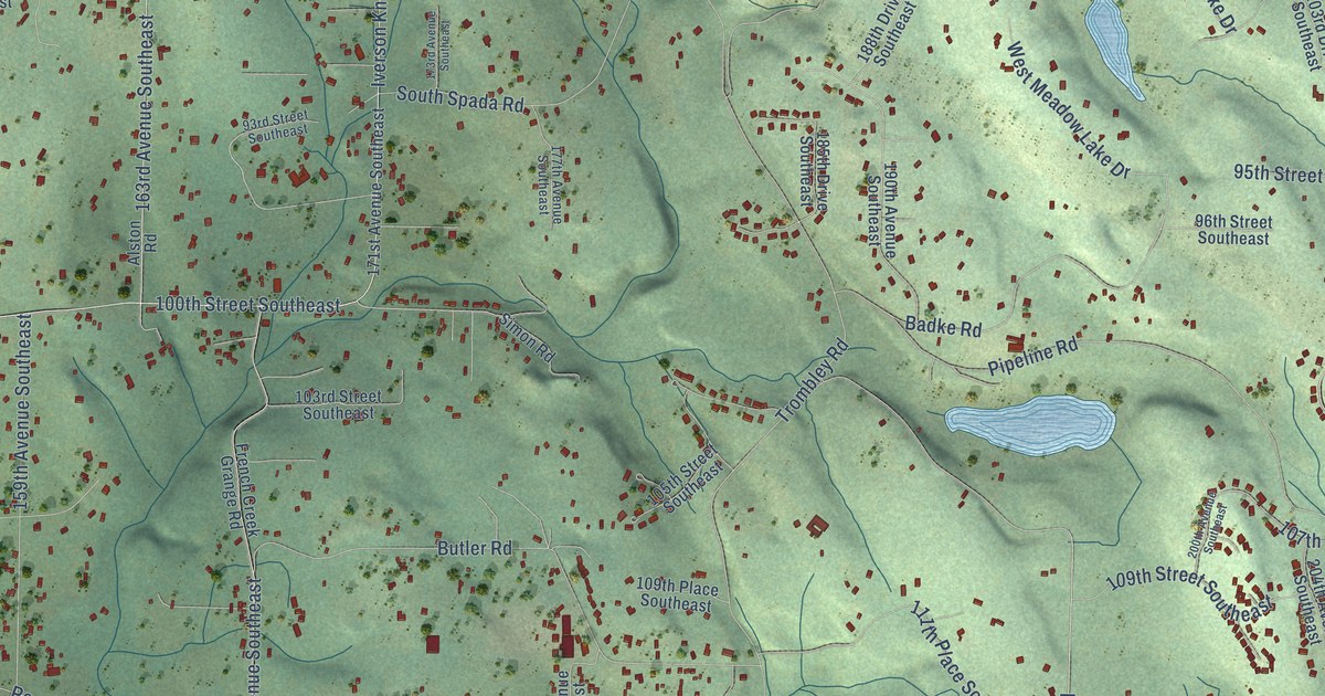
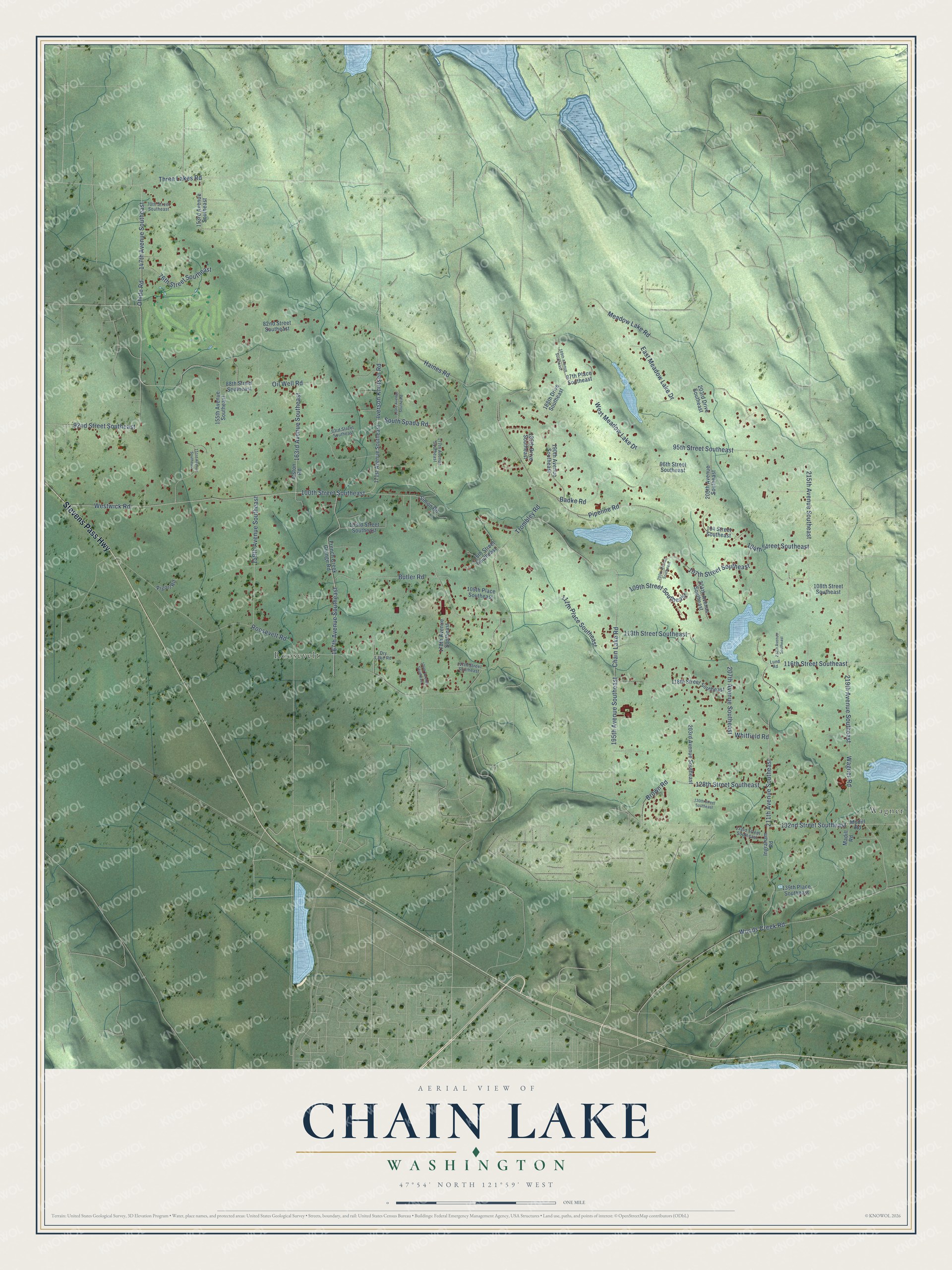
This beautifully detailed map of Chain Lake, Washington was created in 2026 using aerial imagery combined with modern topographical, census, street and landmark data. It's a modern aerial view of Chain Lake in Snohomish County, Washington, that combines modern data with a vintage aesthetic. The roads feature printed names, and if you look closely you can find your exact house accurately shown in its correct location.
Explore an aerial view of Chain Lake, Washington
On this map you'll find Roosevelt, Wagner, Stevens Pass Highway, Three Lakes Road, Wagner Road, Iverson Knutsen Road, Westwick Road, 147th Avenue Southeast, 100th Street Southeast, 107th Street Southeast, 167th Avenue Southeast, Ohlde Road, and more. Each red shape is a building, so zoom in on the preview and look for yours.
Chain Lake is a community in Snohomish County. The Census Bureau counted 4,806 people here in 2020. Chain Lake sits about 3 miles north of Monroe, 4 miles south of Three Lakes and 4 miles northwest of Woods Creek. The map prints the town name in its title panel, with the coordinates below it.
Take a closer look at the Chain Lake map
Names on this map
These names are printed on this map.
Places: Roosevelt and Wagner.
Streets and roads: Stevens Pass Highway, Three Lakes Road, Wagner Road, Iverson Knutsen Road, Westwick Road, 147th Avenue Southeast, 100th Street Southeast, 107th Street Southeast, 167th Avenue Southeast, Ohlde Road, Trombley Road, Meadow Lake Road.
More street names, A to Z
70th Street Southeast, 76th Street Southeast, 82nd Street Southeast, 87th Place Southeast, 88th Street Southeast, 92nd Street Southeast, 93rd Street Southeast, 95th Street Southeast, 96th Street Southeast, 103rd Street Southeast, 104 Street Southeast, 104th Street Southeast, 105th Street Southeast, 108th Street Southeast, 109th Place Southeast, 109th Street Southeast, 111th Place Southeast, 113th Street Southeast, 116th Street Southeast, 117th Street Southeast, 118th Street Southeast, 128th Street Southeast, 130th Street Southeast, 132nd Street Southeast, 133rd Street Southeast, 139th Place Southeast, 151st Avenue Southeast, 153rd Avenue Southeast, 155th Avenue Southeast, 159th Avenue Southeast, 163rd Avenue Southeast, 171st Avenue Southeast, 173rd Avenue Southeast, 176th Avenue Southeast, 177th Avenue Southeast, 178th Avenue Southeast, 185th Drive Southeast, 188th Drive Southeast, 189th Avenue Southeast, 190th Avenue Southeast, 195th Avenue Southeast, 200th Avenue Southeast, 203rd Avenue Southeast, 203rd Drive Southeast, 204th Avenue Southeast, 205th Avenue Southeast, 207th Avenue Southeast, 211th Avenue Southeast, 212th Avenue Southeast, 215th Avenue Southeast, 219th Avenue Southeast, Alston Road, Badke Road, Brown Road, Butler Road, Chain Lake Road, Dry Lake Road, East Meadow Lake Drive, French Creek Grange Road, Haines Road, Ingraham Road, Lund Road, Madill Road, Modill Road, Oil Well Road, Pigort Road, Pipeline Road, Roosevelt Road, Simon Road, South Spada Road, West Meadow Lake Drive, Whitfield Road, Woods Creek Road.
See it on a wall
The Chain Lake map as a framed print. Swipe for more.


Created by KNOWOL in 2026. The buildings are small red shapes, the roads carry their printed names, and shaded relief shows the shape of the land. The title panel reads "AERIAL VIEW OF CHAIN LAKE, WASHINGTON" with 47°54' NORTH 121°59' WEST.
It looks right in a kitchen, an office or a den, and it's a gift for anyone who grew up in Chain Lake or moved away. Open the preview and find your street. See sizes and frames for the Chain Lake map.