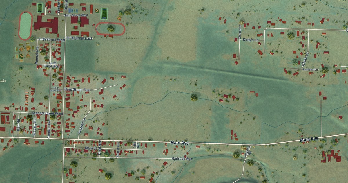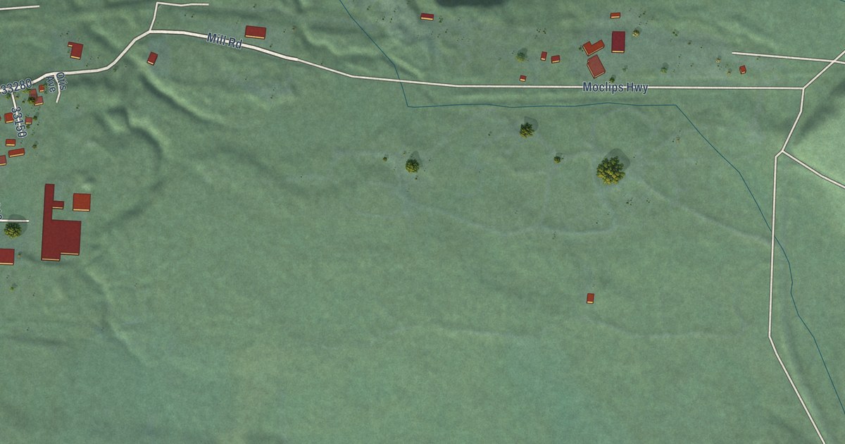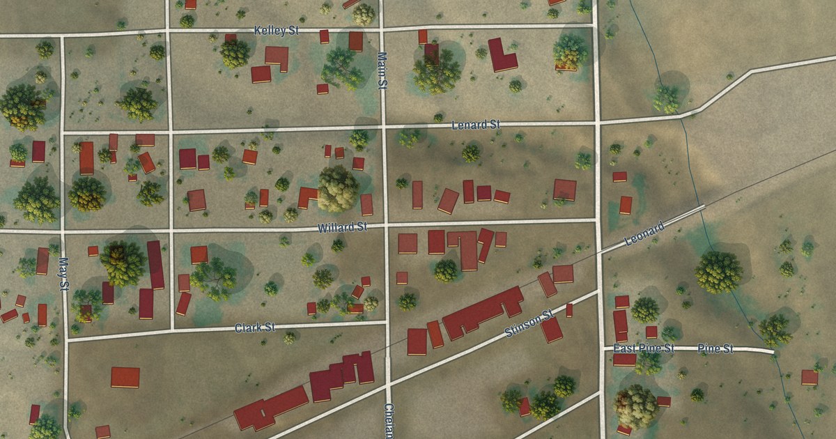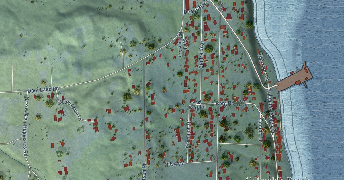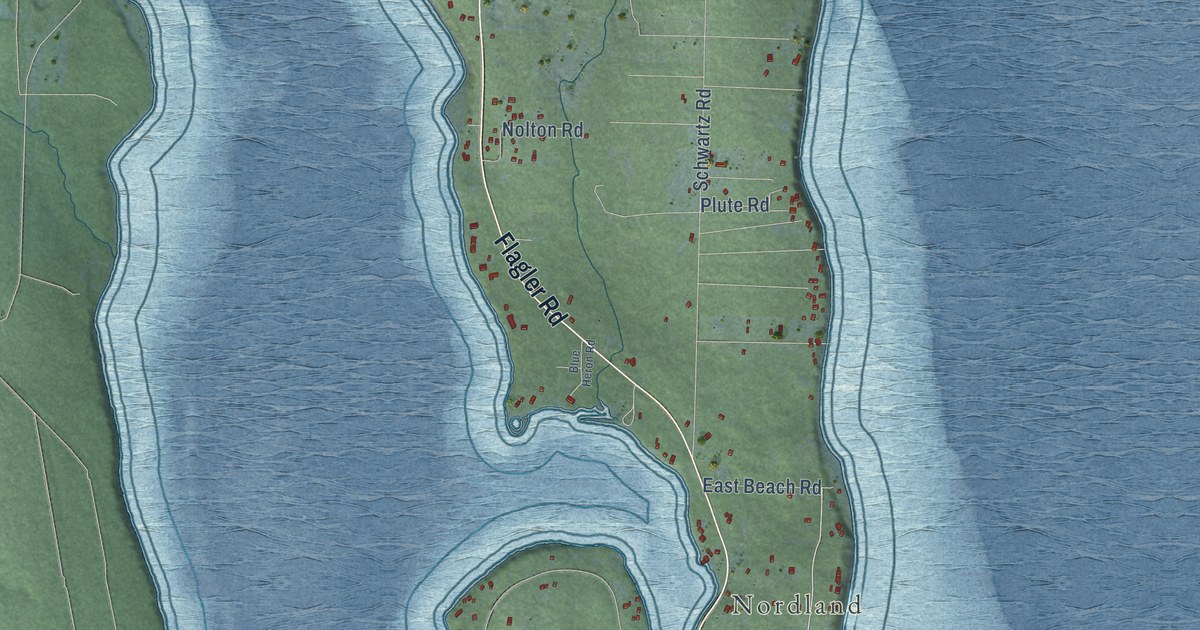
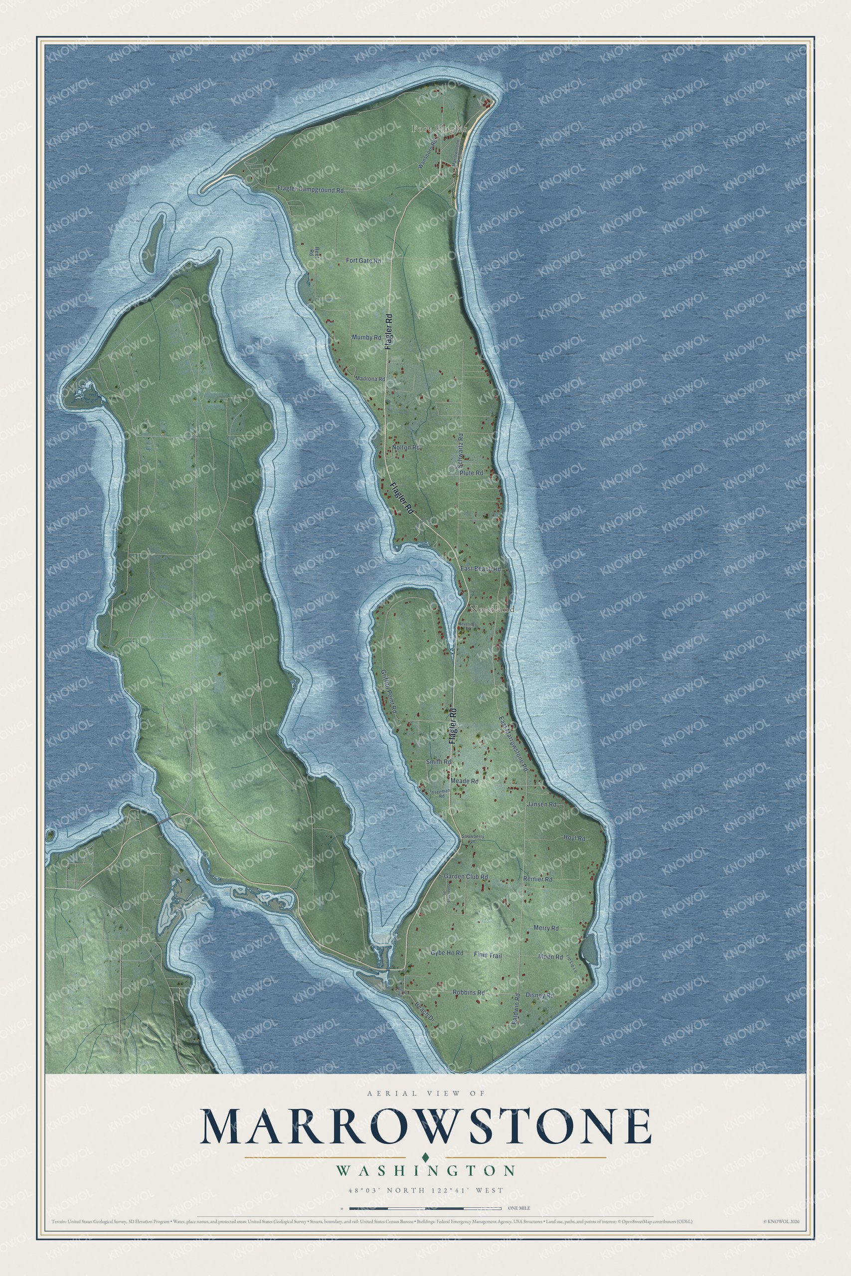
This beautifully detailed map of Marrowstone, Washington was created in 2026 using aerial imagery combined with modern topographical, census, street and landmark data. It's a modern aerial view of Marrowstone in Jefferson County, Washington, that combines modern data with a vintage aesthetic. The roads feature printed names, and if you look closely you can find your exact house accurately shown in its correct location.
Explore an aerial view of Marrowstone, Washington
On this map you'll find Fort Flagler, Nordland, Flagler Road, Robbins Road, East Marrowstone Road, Griffith Point Road, Schwartz Road, Flagler Campground Road, Fort Gate Road, Mumby Road, Meade Road, Reinier Road, and more. Each red shape is a building, so zoom in on the preview and look for yours.
Marrowstone has a story worth telling. Captain George Vancouver of the British Navy discovered and named Marrowstone Point, the northeast tip of the island, on May 8, 1792, noting that its cliff was made mostly of what he called marrow stone. The Wilkes Expedition tried to rename it in 1841 to honor one of its officers, but the change never took. Nordland, the village on the island, was named about 1890 for Peter Nordby, who owned the land there at the time. That's from the Washington Historical Quarterly.
Marrowstone is a community in Jefferson County. The Census Bureau counted 995 people here in 2020.
Take a closer look at the Marrowstone map
Names on this map
These names are printed on this map.
Places: Fort Flagler and Nordland.
Streets and roads: Flagler Road, Robbins Road, East Marrowstone Road, Griffith Point Road, Schwartz Road, Flagler Campground Road, Fort Gate Road, Mumby Road, Meade Road, Reinier Road, Hoyt Road, Gybe Ho Road.
More street names, A to Z
Baldwin Road, Beach Drive, Beveridge Lane, Blue Heron Road, Disney Road, East Beach Road, Finis Trail, Freeman Road, Garden Club Road, Jansen Road, Lip Lip Lane, Madrona Road, Marrowstone Point Drive, Merry Road, Moen Road, Nolton Road, Plute Road, Ponderosa Place, Reef Road, Resort Road, Smith Road, Strawberry Lane, Wansboro Road.
See it on a wall
The Marrowstone map as a framed print. Swipe for more.


Created by KNOWOL in 2026. The buildings are small red shapes, the roads carry their printed names, and shaded relief shows the shape of the land. The title panel reads "AERIAL VIEW OF MARROWSTONE, WASHINGTON" with 48°03' NORTH 122°41' WEST.
It looks right in a kitchen, an office or a den, and it's a gift for anyone who grew up in Marrowstone or moved away. Open the preview and find your street. See sizes and frames for the Marrowstone map.