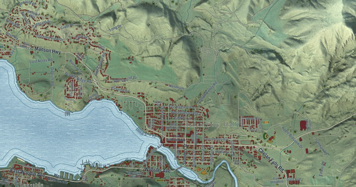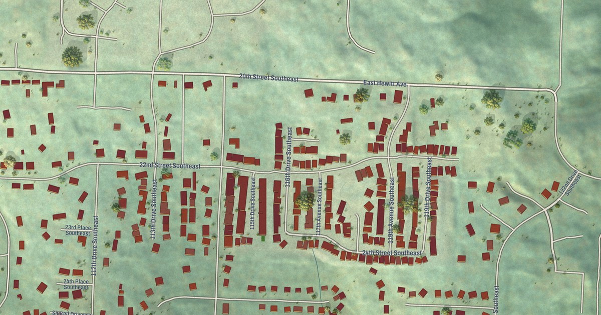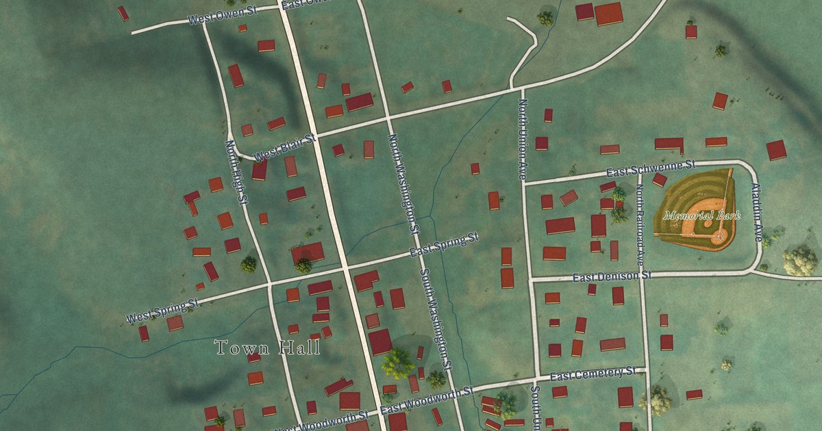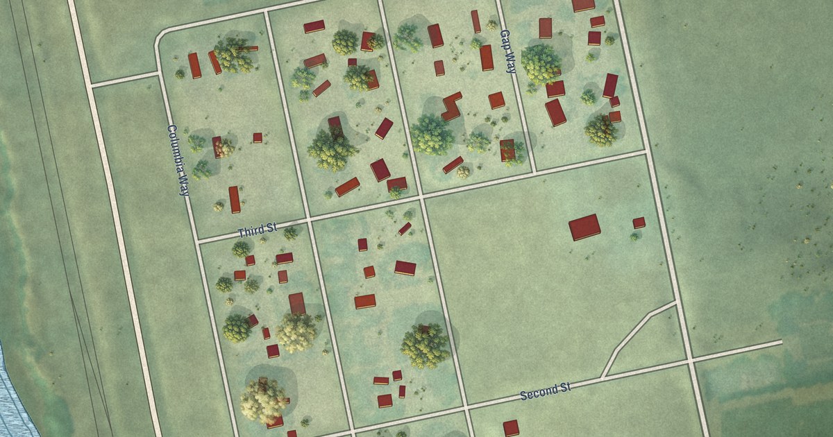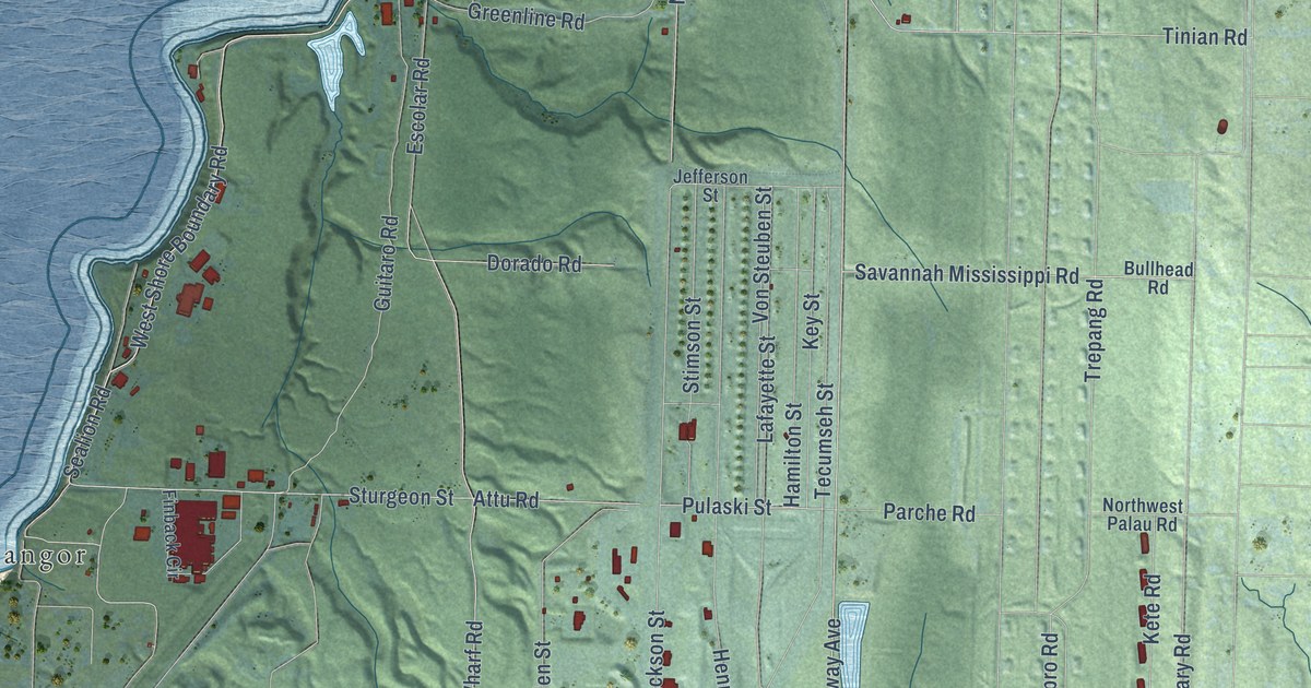
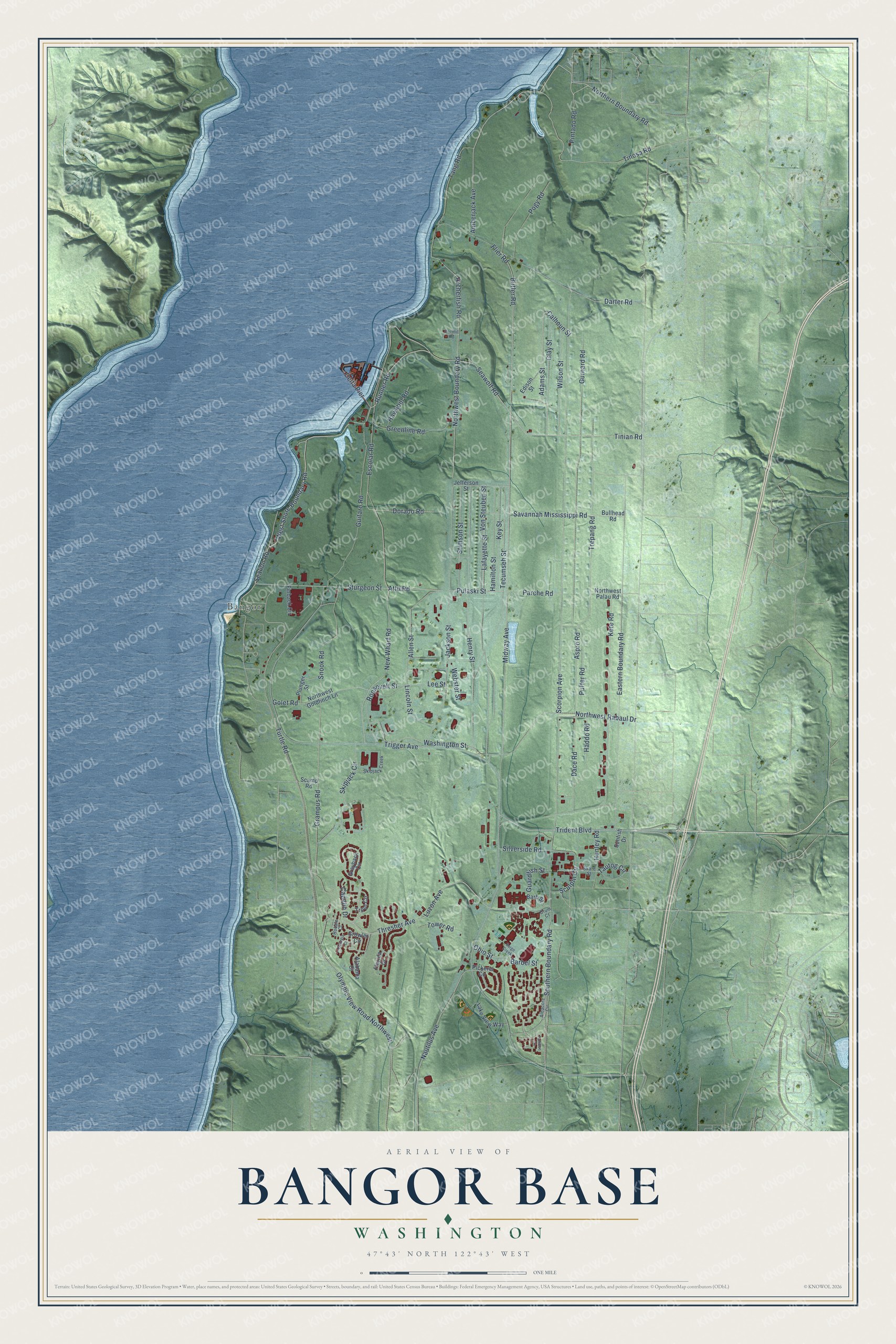
This beautifully detailed map of Bangor Base, Washington was created in 2026 using aerial imagery combined with modern topographical, census, street and landmark data. It's a modern aerial view of Bangor Base in Kitsap County, Washington, that combines modern data with a vintage aesthetic. The roads feature printed names, and if you look closely you can find your exact house accurately shown in its correct location.
Explore an aerial view of Bangor Base, Washington
On this map you'll find Bangor, Northern Boundary Road, Trident Boulevard, Barbel Street, Amberjack Avenue, Seawolf Road, Adams Street, Calhoun Street, Tinosa Road, Sealion Road, Nautilus Avenue, Runner Road, and more. Each red shape is a building, so zoom in on the preview and look for yours.
Bangor Base has a story worth telling. The Navy post at Bangor did not exist for the first three years of World War II. In early 1944 the Navy saw the need for a large ammunition magazine in the Puget Sound area to supply its growing Pacific Fleet, and Bangor was chosen as the site. That's from the Osborne guide to World War II sites.
Bangor Base is a community in Kitsap County. The Census Bureau counted 5,482 people here in 2020.
Take a closer look at the Bangor Base map
Names on this map
These names are printed on this map.
Places: Bangor.
Streets and roads: Northern Boundary Road, Trident Boulevard, Barbel Street, Amberjack Avenue, Seawolf Road, Adams Street, Calhoun Street, Tinosa Road, Sealion Road, Nautilus Avenue, Runner Road, Grampus Road.
More street names, A to Z
Alabama Court, Albacore Circle, Allen Street, Archerfish Road, Aspro Road, Attu Road, Barb Street, Bullhead Road, Butler Road, Capelin Drive, Clay Street, Dace Road, Darter Road, Delta Pier, Dorado Road, Drum Court, Eastern Boundary Road, Edison Street, Escolar Road, Finback Circle, Flier Road, Florida Drive, Georgia Court, Golet Road, Grayback Circle, Greenline Road, Growler Circle, Guardfish Street, Guitaro Road, Gurnard Road, Haddo Road, Hamilton Street, Hawkbill Road, Henry Street, Hunley Road, Jackson Street, Jefferson Street, Kete Road, Key Street, Lafayette Street, Lake View Way, Lee Street, Lincoln Street, Luzon Avenue, Midway Avenue, New Wharf Road, Northwest Boundary Road, Northwest Goldfinch Lane, Northwest Palau Road, Northwest Rabaul Drive, Ohio Street, Olympic View Road Northwest, Parche Road, Permit Road, Pickerel Circle, Pintado Road, Plunger Street, Pogy Road, Puffer Road, Pulaski Street, Robalo Court, Roosevelt Street, Sargo Creek, Savannah Mississippi Road, Scamp Road, Scorpion Avenue, Sculpin Circle, Silverside Road, Skate Street, Skipjack Circle, Skipjack Creek, Snook Road, Southern Boundary Road, Stimson Street, Sturgeon Street, Sunfish Drive, Tang Road, Tautog Circle, Tecumseh Street, Thresher Avenue, Tinian Road, Tower Road, Trepang Road, Trigger Avenue, Trout Circle, Tullibee Circle, Turtle Road, Von Steuben Street, Washington Street, Webster Street, West Shore Boundary Road, Wilson Street.
See it on a wall
The Bangor Base map as a framed print. Swipe for more.


Created by KNOWOL in 2026. The buildings are small red shapes, the roads carry their printed names, and shaded relief shows the shape of the land. The title panel reads "AERIAL VIEW OF BANGOR BASE, WASHINGTON" with 47°43' NORTH 122°43' WEST.
It looks right in a kitchen, an office or a den, and it's a gift for anyone who grew up in Bangor Base or moved away. Open the preview and find your street. See sizes and frames for the Bangor Base map.