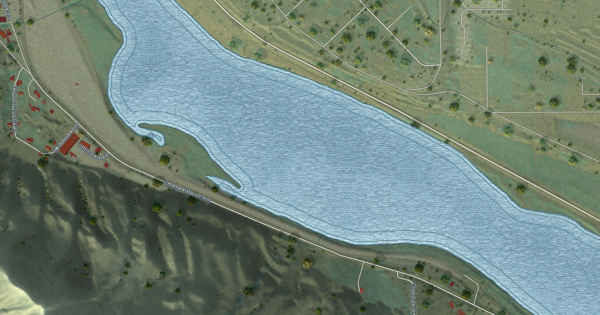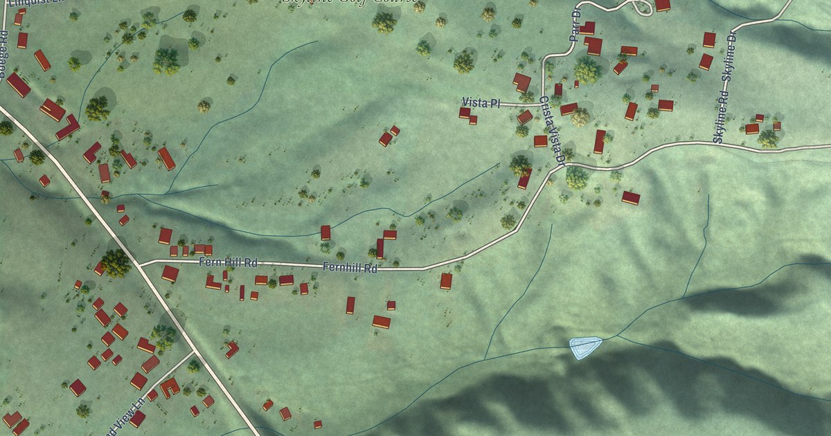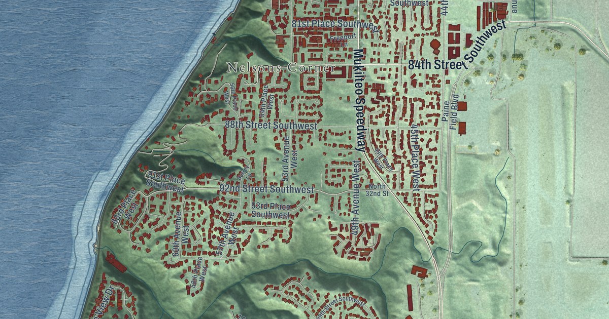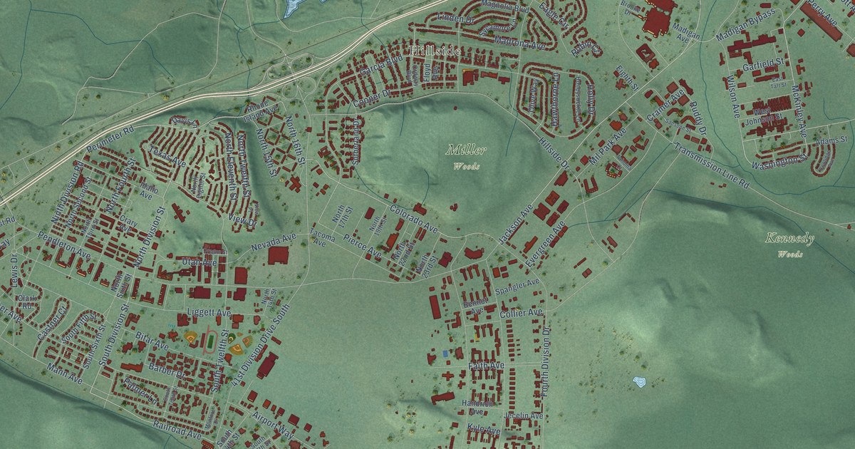
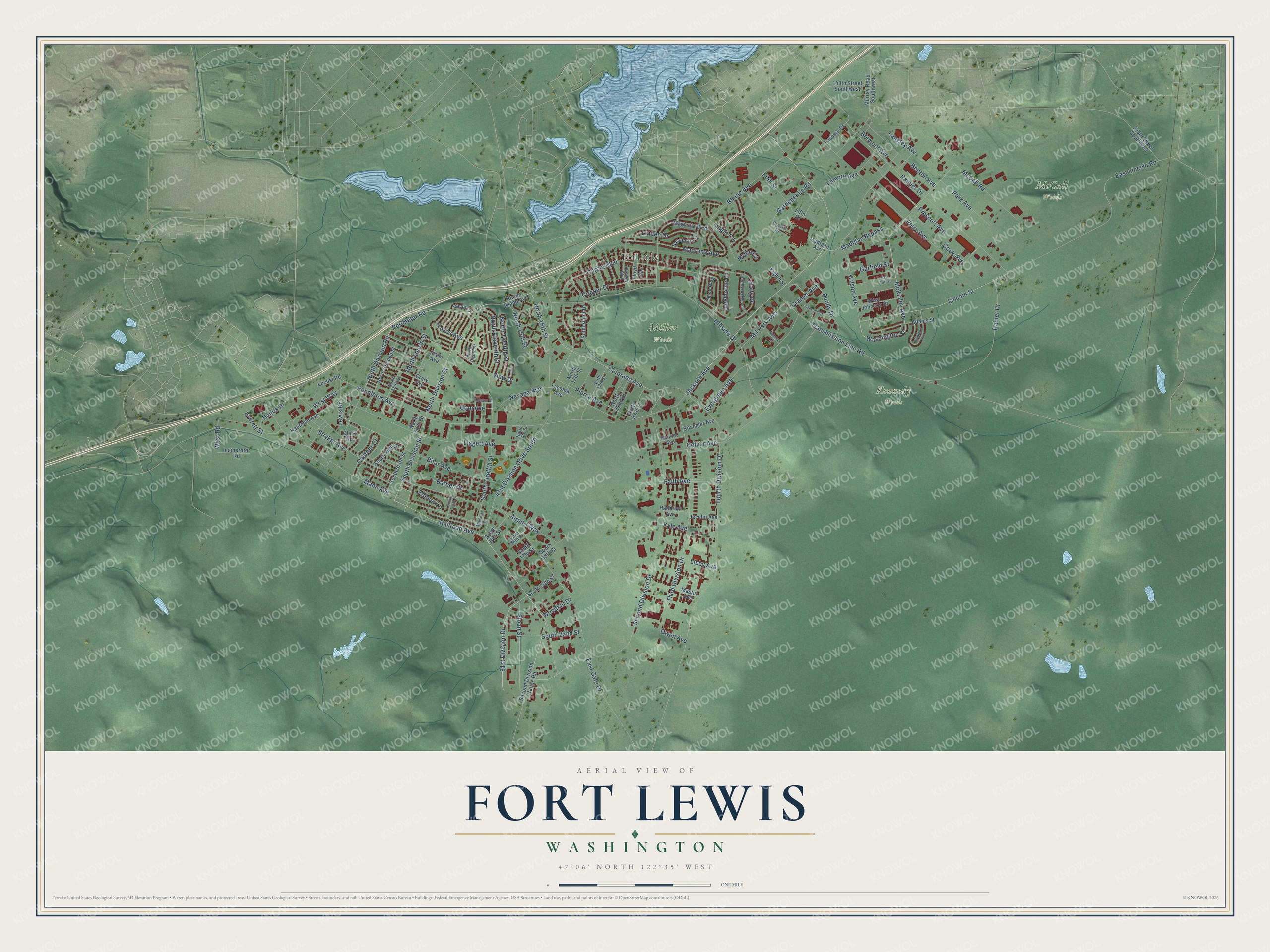
This beautifully detailed map of Fort Lewis, Washington was created in 2026 using aerial imagery combined with modern topographical, census, street and landmark data. It's a modern aerial view of Fort Lewis in Pierce County, Washington, that combines modern data with a vintage aesthetic. The roads feature printed names, and if you look closely you can find your exact house accurately shown in its correct location.
Explore an aerial view of Fort Lewis, Washington
On this map you'll find Hillside, Kennedy Woods, McCall Woods, Miller Woods, Railroad Avenue, Jackson Avenue, Perimeter Road, North Division Street, South Division Street, McKinley Avenue, Washington Street, Second Division Drive, and more. Each red shape is a building, so zoom in on the preview and look for yours.
Every town has a first chapter, and Fort Lewis is no exception. Fort Lewis is named for Meriwether Lewis of the Lewis and Clark expedition. In 1917 Pierce County voters bonded themselves to buy 70,000 acres and give the land to the federal government, and Camp Lewis became the first Army post created by an outright gift of land from citizens. When the buildings were finished, the workers who built them chipped in 4,000 dollars to build the main gate. That's from the U.S. Army at Joint Base Lewis-McChord.
Fort Lewis is a community in Pierce County. The Census Bureau counted 14,052 people here in 2020.
Take a closer look at the Fort Lewis map
Names on this map
These names are printed on this map.
Places: Hillside, Kennedy Woods, McCall Woods and Miller Woods.
Streets and roads: Railroad Avenue, Jackson Avenue, Perimeter Road, North Division Street, South Division Street, McKinley Avenue, Washington Street, Second Division Drive, Colorado Avenue, Lincoln Street, Barber Drive, 91st Division Drive.
More street names, A to Z
41st Division Drive South, 148th Street Southwest, 150th Street Southwest, Adams Street, Airport Way, Belmont Avenue, Bennet Avenue, Benton Avenue, Bitar Avenue, Blaine Avenue, Brooke Drive, Castner Court, Clark Road, Collier Avenue, Cook Avenue, Coolidge Avenue, Cooper Drive, Cramer Avenue, Crary Avenue, Davis Lane, Eagle Circle, East Gate Drive, East Lincoln Road, East Taft Street, Eighth Street, Everett Street, Evergreen Avenue, Faith Avenue, Fifth Court, Fifth Street, Filmore Avenue, Floyd Avenue, Fourth Division Drive, Garcia Boulevard, Gardener Lp Road, Garfield Street, Handrich Avenue, Hanna Drive, Hawthorne Lane, Hillside Drive, Holly Drive, Honeysuckle Lane, Idaho Avenue, Incinerator Road, Jecelin Avenue, Kaufman Avenue, Kyle Avenue, Langley Avenue, Lewis Drive, Libby Avenue, Liggett Avenue, Linden Drive, Locust Road, Madigan Avenue, Madigan Bypass, Madrona Avenue, Magnolia Boulevard, Mann Avenue, Mastin Avenue, McCall Road, Mil Park Avenue, Monfore Drive, Murray Road Southwest, Nevada Avenue, Ninth Division Road, North 14th Street, North 15th Street, North 16th Street, North 17th Street, North 19th Street, North 22nd Street, North 23rd Street, North Eighth Street, North Eleventh Street, North Fourth Street, North Second Street, North Sixth Street, North Third Street, North Twelfth Street, Olive Way, Ordway Boulevard, Oregon Street, Owen Avenue, Palmer Lane, Park Avenue, Pendleton Avenue, Perry Avenue, Pierce Avenue, Prescott Avenue, Rainer Drive, Rainier Drive, Rhode Island Avenue, Robin Court, Ruddy Drive, Sansone Street, Second Division Range Road, Sloan Street, South 14th Street, South 16th Street, South 17th Street, South 18th Street, South 20th Street, South 22nd Street, South Fifth Street, South Sixth Street, South Tenth Street, South Twelfth Street, Spangler Avenue, Stryker Avenue, Sutherland Drive, Sycamore Lane, Tacoma Avenue, Tacoma Drive, Tahoma Court, Texas Avenue, Third Division Drive, Transmission Line Road, Utah Avenue, View Drive, View Place, West Johnson Street, West Road, West Way, Wilson Avenue, Woodkill Drive.
See it on a wall
The Fort Lewis map as a framed print. Swipe for more.


Created by KNOWOL in 2026. The buildings are small red shapes, the roads carry their printed names, and shaded relief shows the shape of the land. The title panel reads "AERIAL VIEW OF FORT LEWIS, WASHINGTON" with 47°06' NORTH 122°35' WEST.
Hang it in the hallway, the office or the cabin, or give it to someone who left Fort Lewis and still calls it home. Open the preview and look for a street you know. See sizes and frames for the Fort Lewis map.