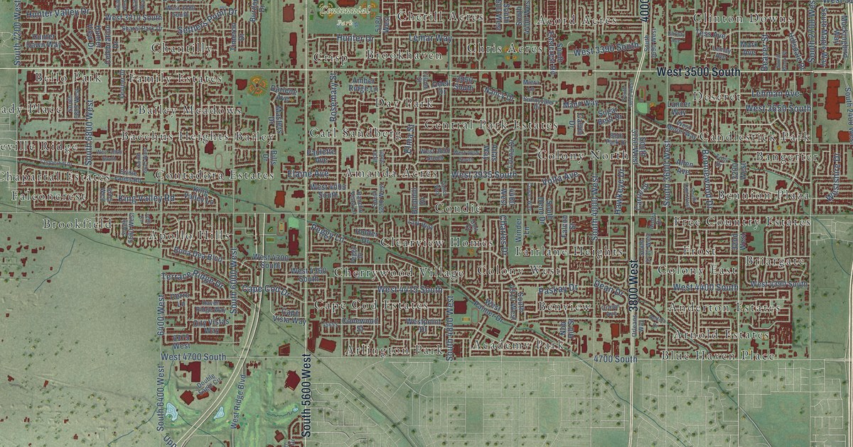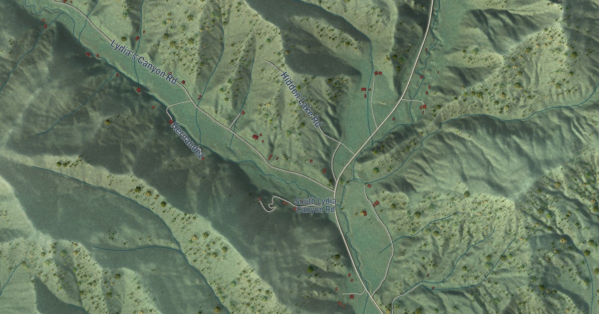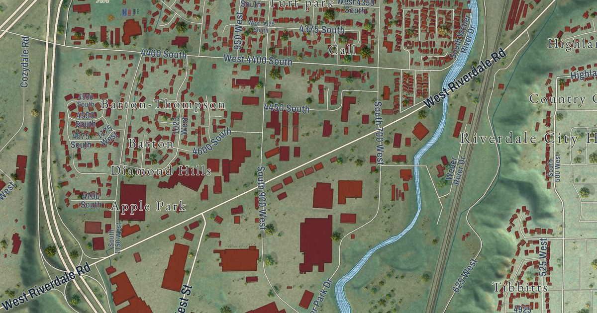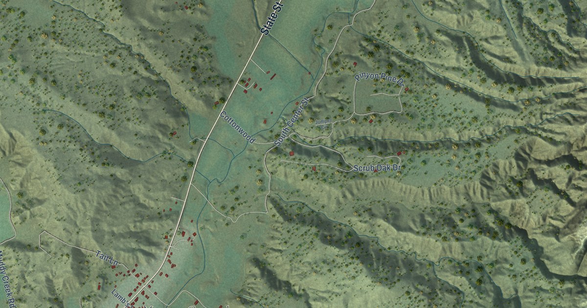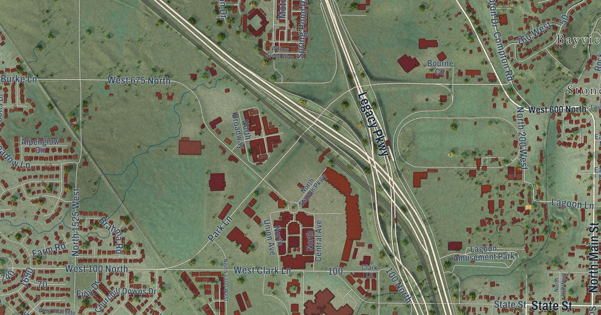
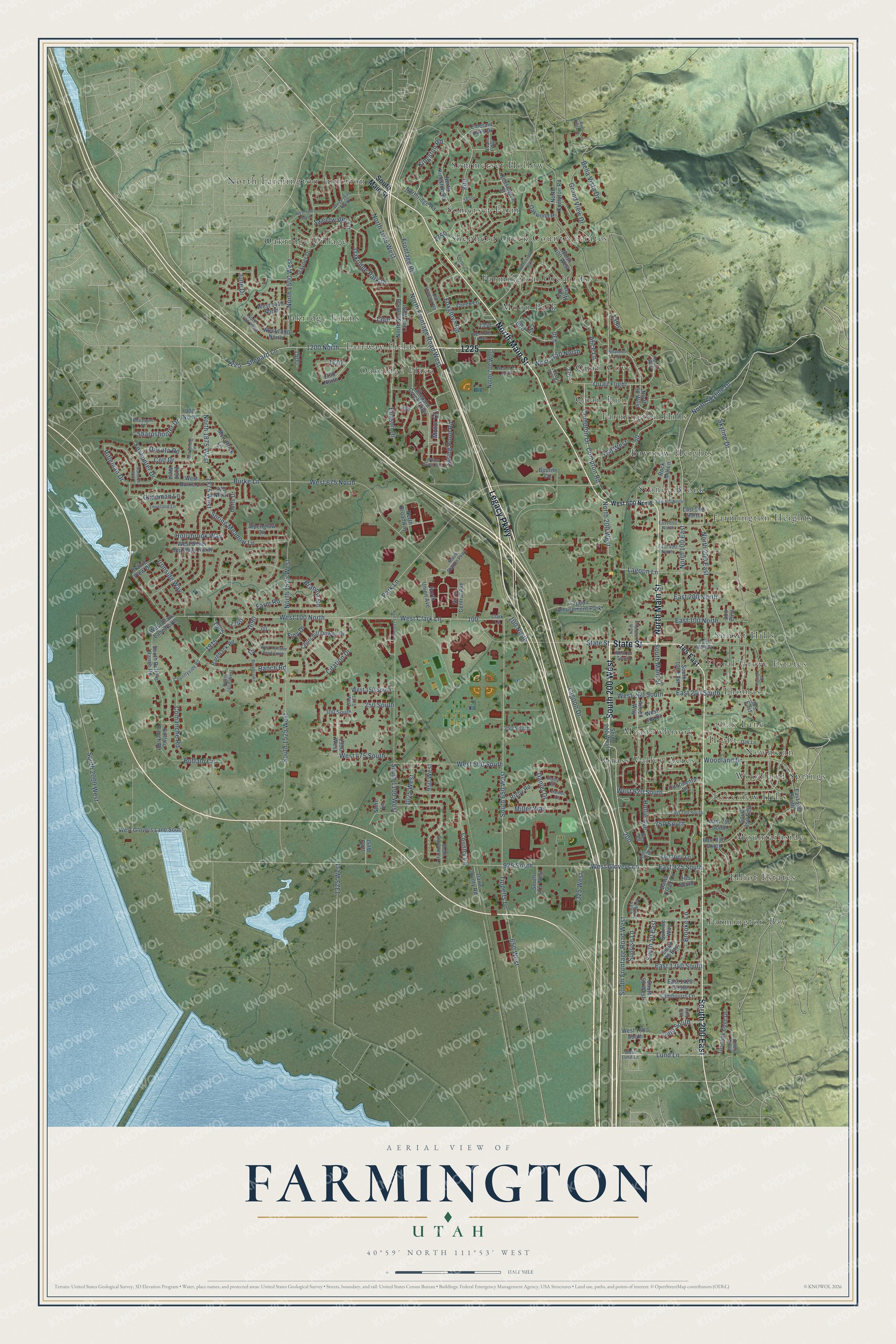
This beautifully detailed map of Farmington, Utah was created in 2026 using aerial imagery combined with modern topographical, census, street and landmark data. It's a modern aerial view of Farmington in Davis County, Utah, that combines modern data with a vintage aesthetic. The roads feature printed names, and if you look closely you can find your exact house accurately shown in its correct location.
Explore an aerial view of Farmington, Utah
On this map you'll find Bayview Heights, Elliot Estates, Fairway Fields, Farmington Bay, Farmington Heights, Farmington Hills, Farmington Orchards, Floral Grove Estates, Grass Valley Acres, Hight, Lakeview Hills, Meadowbrook, and more. Each red shape is a building, so zoom in on the preview and look for yours.
Farmington has a story worth telling. The Utah Division of State History puts it this way: "Centrally located between Salt Lake City and Ogden, and thus at Davis County’s midpoint, Farmington remained an agricultural town for its first half century, then joined in the effort to develop a commercial base."
Farmington is a city in Davis County. The Census Bureau counted 24,531 people here in 2020.
Take a closer look at the Farmington map
Names on this map
These names are printed on this map.
Places: Bayview Heights, Elliot Estates, Fairway Fields, Farmington Bay, Farmington Heights, Farmington Hills, Farmington Orchards, Floral Grove Estates, Grass Valley Acres, Hight, Lakeview Hills, Meadowbrook, Moon Park, Mountainside, Newmann, North Farmington Junction, Oak Lane, Oakridge Farms, Oakridge Place, Oakridge Village, Quail Cove, Quail Run, Shepherd Creek County Estates, Somerset Farm, Sommerset Hollow, Stoney Brook, Sunset Hills, Thomas, Woodland Springs and Lagoon Amusement Park.
Streets and roads: North Main Street, State Street, South 200 West, South 200 East, Legacy Parkway, North Frontage Road West, South Frontage Road West, Skyline Drive, Lund Lane, West 620 South, Compton Road, Compton Drive.
More street names, A to Z
100 North, 120 East, 185 East, 250 South, 300 East, 300 South, 325 West, 350 South, 375 East, 410 West, 625 North, 650 West, 750 South, 760 West, 900 North, 925 South, 950 West, 965 South, 1025 West, 1100 North, 1200 North, 1200 West, 1275 West, 1325 West, 1350 West, 1600 South, 1875 West, 2050 West, Aileen Way, Alice Lane, Alpenglow Circle, Bareback Road, Bella Vista Court, Bella Vista Drive, Bonanza Road, Botts Drive, Bourne Circle, Brahma Road, Brooke Lane, Browning Lane, Buffalo Circle, Buffalo Ranch Road, Burke Lane, Chapman Lane, Churchill Downs Drive, Citation Drive, Clark Lane, Colt Drive, Comanche Road, Continental Drive, Country Lane, Countryside Road, Creek Lane, Dakota Road, Daniel Court, Daniel Drive, Davis County Road, Davis Creek Lane, East 100 North, East 200 North, East 200 South, East 400 North, East 500 North, East 500 South, East 550 North, East 600 North, East 700 South, East 750 South, East 830 South, East 925 South, East 1340 South, East 1420 South, East Rice Lane, East State Street, Eliason Drive, Emerald Oaks Drive, Evans Way, Farm Road, Filly Drive, Foxglove Road, Foxhunter Drive, Frontage Road, Grand View Drive, Hollie Avenue, Hollow Avenue, Hollybrook Way, Ironside Way, June Drive, Kambouris Lane, Kensington Street, Kingston Road, Lagoon Drive, Lagoon Lane, Leonard Lane, Loveland Lane, McKittrick Lane, Miller Way, Monarch Way, Motor Court, North 50 West, North 100 East, North 100 West, North 200 East, North 200 West, North 400 West, North 700 West, North 1075 West, North 1100 West, North 1500 West, North 1525 West, North 1700 West, North 1875 West, North Broadway, North Central Avenue, North Compton Road, North Kingston Road, Northridge Road, North Sandtrap Lane West, North Skyline Drive, North Station Parkway, North Union Avenue, Oakridge Park Drive, Oakwood Place, Old Shepard Road, Park Hills Drive, Park Lane, Pheasant Place, Prairie View Drive, Quail Flight, Quail Wing Road, Ranch Road, Rice Road, Rifleman Drive, Rigby Court, Rigby Road, Robyn Way, Rock Mill Lane, Shannon Drive, Sharpshooter Drive, Shepard Creek Parkway, Shepard Lane, Shire Lane, South 35 East, South 50 East, South 50 West, South 100 East, South 110 West, South 350 East, South 475 West, South 650 West, South 1100 West, South 1525 West, South 1800 West, South 2000 West, South Buffalo Ranch Road, South Main Street, South Snowberry Lane, Spring Meadow Lane, Spring Pond Road, Stayner Drive, Sunrise Lane, Sunrise Way, Sunset Drive, Sweetwater Lane, Tippetts Lane, Tuscany Cove Drive, West 50 South, West 100 North, West 150 South, West 200 South, West 475 South, West 500 South, West 600 North, West 675 North, West 1150 North, West 1175 North, West 1275 North, West 1290 North, West 1400 North, West 1410 North, West 1600 South, West 1800 North, West 1875 North, West Burke Lane, West Clark Lane, West Clark Lane North, West Glovers Lane, West Glovers Lane South, West Joy Drive, West Lund Lane, West Silver Spur Way North, West Trailside Road South, Willow Green Way, Woodland Drive.
Created by KNOWOL in 2026. The buildings are small red shapes, the roads carry their printed names, and shaded relief shows the shape of the land. The title panel reads "AERIAL VIEW OF FARMINGTON UTAH" with 40°59' NORTH 111°53' WEST.
It looks right in a kitchen, an office or a den, and it's a gift for anyone who grew up in Farmington or moved away. Open the preview and find your street. See sizes and frames for the Farmington map.