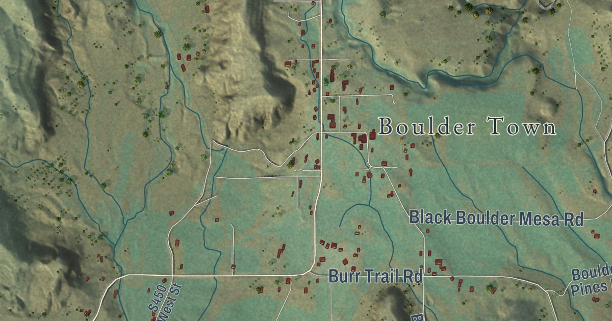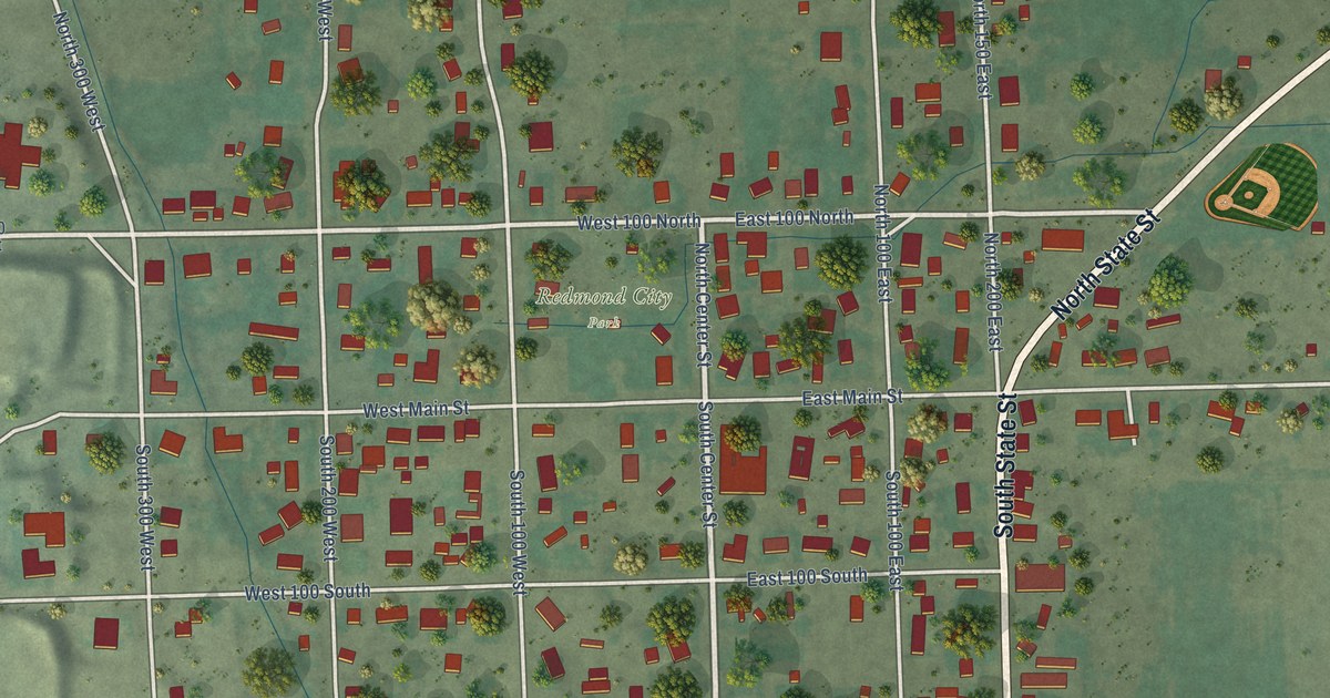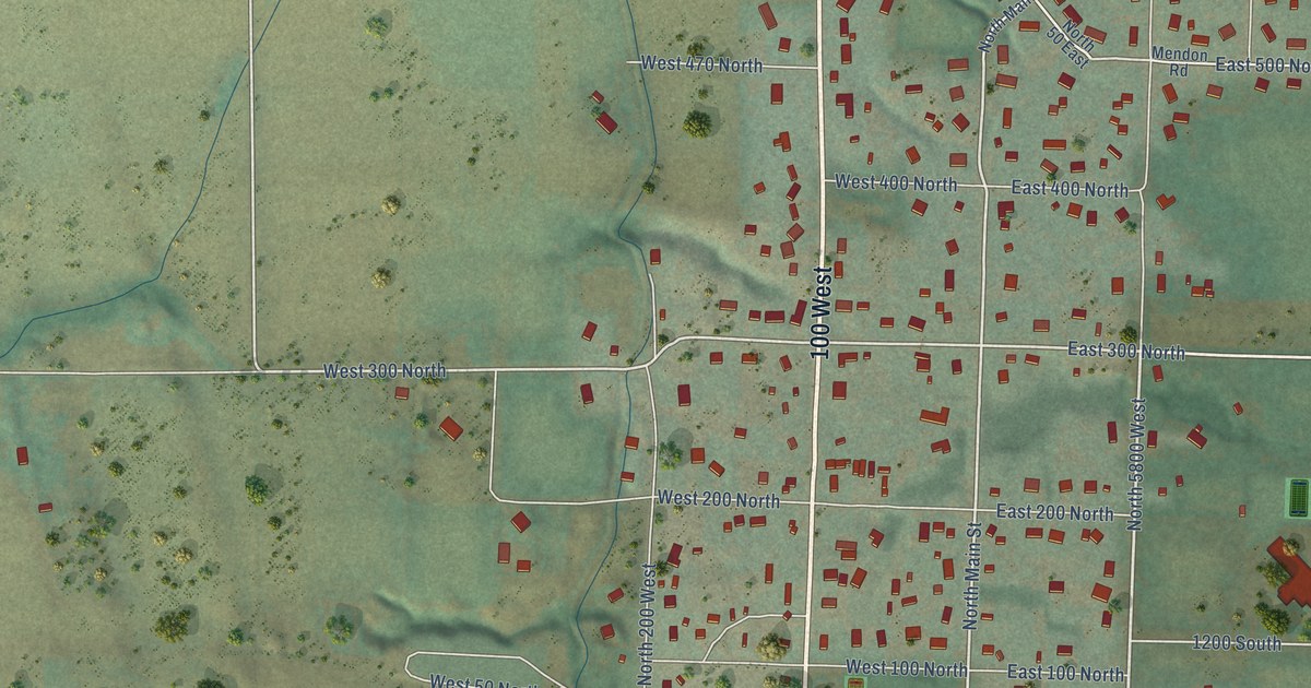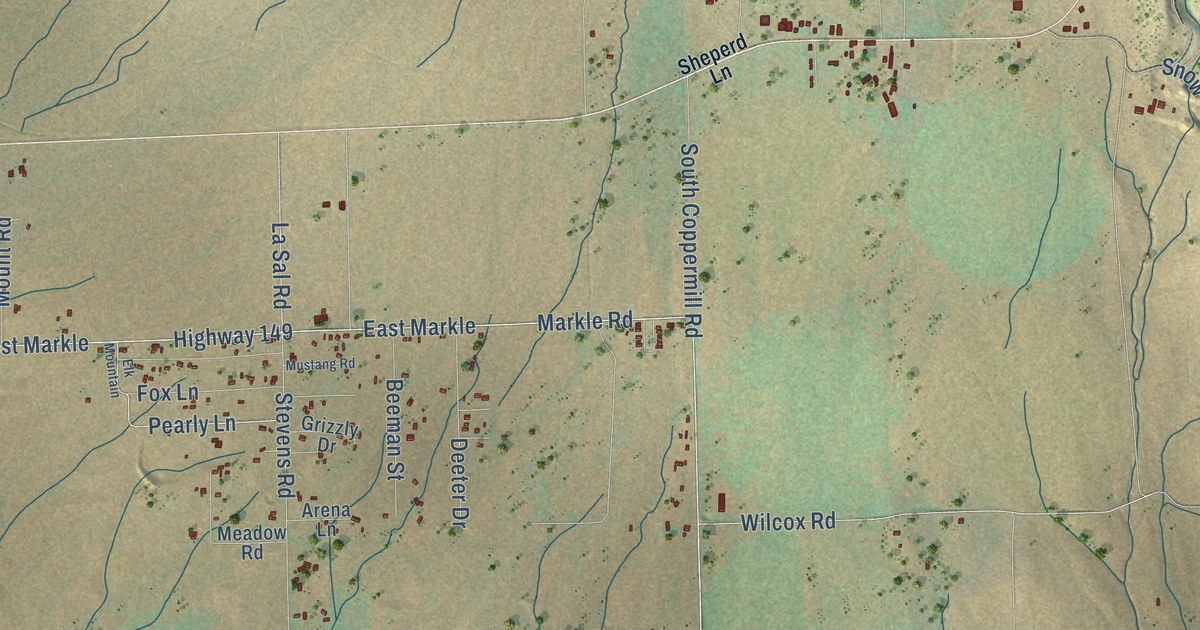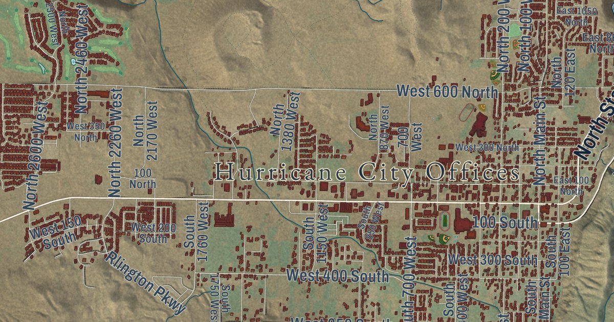
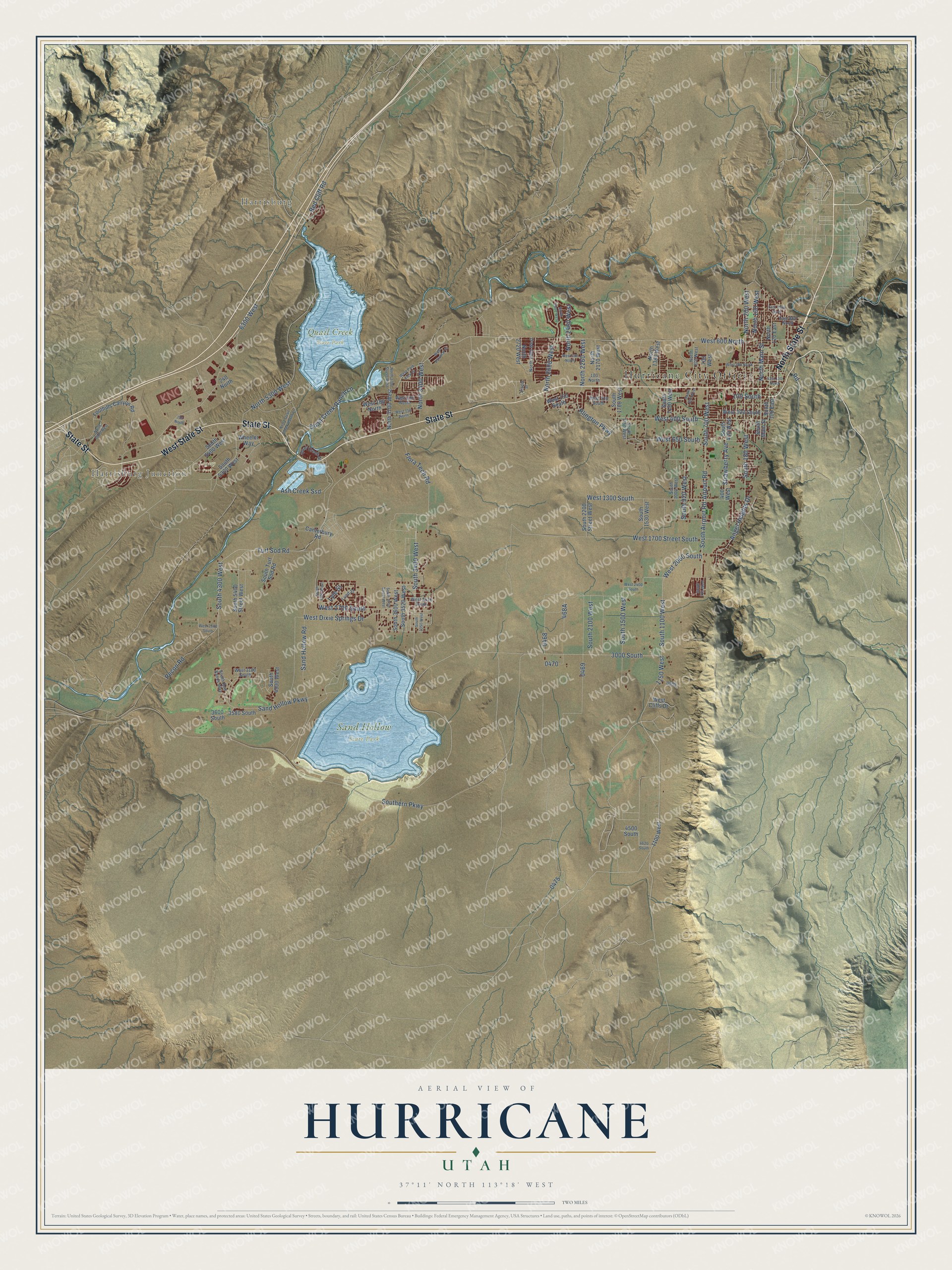
This beautifully detailed map of Hurricane, Utah was created in 2026 using aerial imagery combined with modern topographical, census, street and landmark data. It’s a one-of-a-kind view of Hurricane that combines accurate data with a vintage aesthetic. The map shows every building in its true location, many of the roads carry their names, and the shaded topographic relief shows the shape of the land.
Explore an aerial view of Hurricane, Utah
On the map you’ll find Hurricane City Offices, Harrisburg, Harrisburg Junction, Legacy Park, Quail Creek State Park, Sand Hollow State Park, 100 South, and South 1500 West, along with State Street, West State Street, North State Street, Sand Hollow Road, and more. If you look closely you can even find your house accurately drawn in its correct location. Zoom in on the preview to look for yours.
Did you know this piece of Hurricane, Utah history?
From the National Register of Historic Places: "Built in 1938-40, the Hurricane Library/City Hall is significant because it helps document the impact of New Deal Programs in Utah, which was one of the states that the Great Depression of the 1930s most severely affected."
Take a closer look at the Hurricane map
Street and place names on the Hurricane, Utah map
These names are printed on the map of Hurricane, Utah.
Places: Hurricane City Offices, Harrisburg, Harrisburg Junction, Legacy Park, Quail Creek State Park and Sand Hollow State Park.
Streets and roads: State Street, West State Street, North State Street, South 1500 West, West 400 South, Rlington Parkway, Sand Hollow Road, Red Cliff Road, South 1100 West, 3000 South, 1150 West, 100 South.
More street names, A to Z
100 North, 155 North, 240 North, 400 West, 700 West, 1100 West, 3580 South, 3600 South, 4500 South, 4620 South, 6300 West, Airport Road, Angel Heights Drive, Ash Creek Ssd, Canterbury Road, Cinder Street, East 100 North, East 860 North, East 1050 North, Flora Tech Road, Foothills Canyon Road, Lund Street, Lyle Street, North 100 West, North 120 East, North 200 West, North 870 West, North 1380 West, North 2170 West, North 2260 West, North 2460 West, North 2500 West, North 2600 West, North 2680 West, North 2720 West, North 3400 West, North 3700 Street West, North 3700 West, North 5300 West, North 6680 West, North Main Street, North Quail Creek Ranch Lane, Pecon Road, Quail Creek Drive, Quail Creek Ranch Lane, Road, Sand Hollow Parkway, South 100 East, South 180 West, South 400 West, South 700 West, South 725 West, South 850 West, South 920 West, South 1000 West, South 1150 West, South 1530 West, South 1750 West, South 1760 West, South 2100 West, South 2200 Street West, South 3350 West, South 3400 West, South 3520 West, South 3600 West, South 3700 Street West, South 4300 West, South 4390 West, South 4900 West, South 5300 West, South 5400 Street West, South 5400 West, South Airport Road, Southern Parkway, South Main Street, South Red Sands Way, South Turf Sod Road, Strawberry Avenue, Turf Sod Road, West 150 North, West 150 South, West 180 North, West 200 North, West 200 South, West 300 North, West 300 South, West 350 North, West 600 North, West 650 South, West 1300 South, West 1700 Street South, West 2060 South, West 2400 South, West 2500 South, West 2610 South, West 2700 South, West 3180 South, West Cliffs Drive, West Dixie Springs Drive, West Palomar Street, West Park View Drive, Wheeler Way.
See the Hurricane, Utah map on a wall
The Hurricane map as an 18 x 24 inch print in a black frame.

This beautifully detailed map of Hurricane makes an attractive addition to your office, library, or den, and it can even be used to teach children the geography and history of the area. It also makes a great gift for anyone who grew up in Hurricane or moved away. When you’re done exploring, click here to get your copy of the Hurricane map.