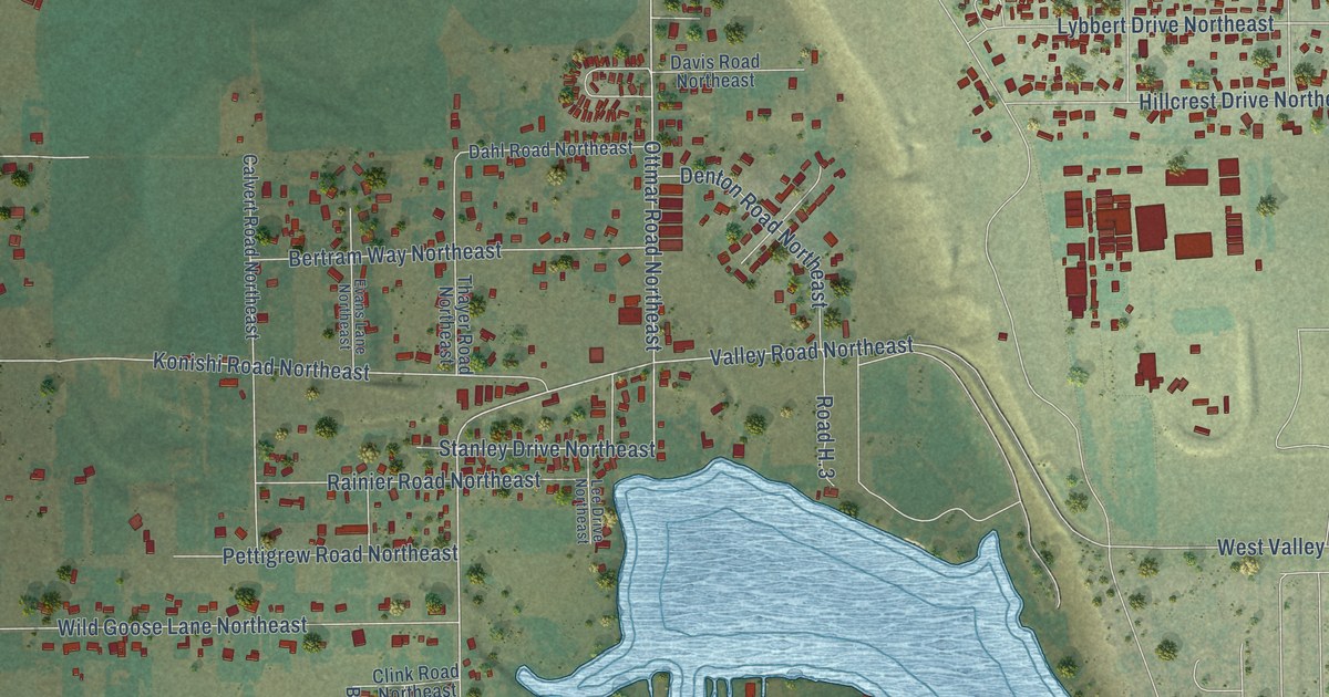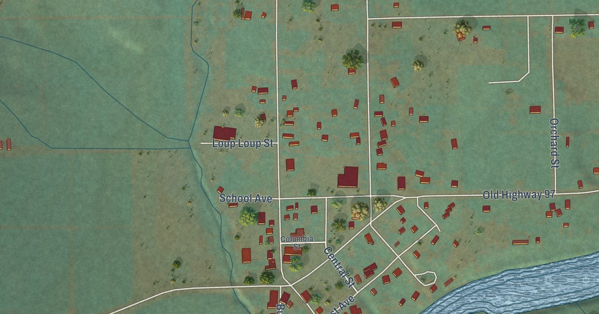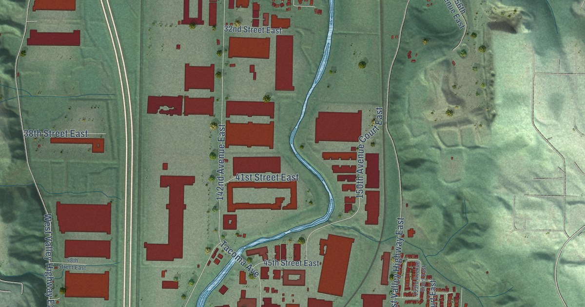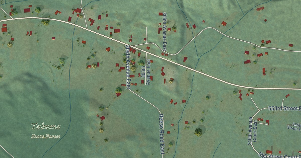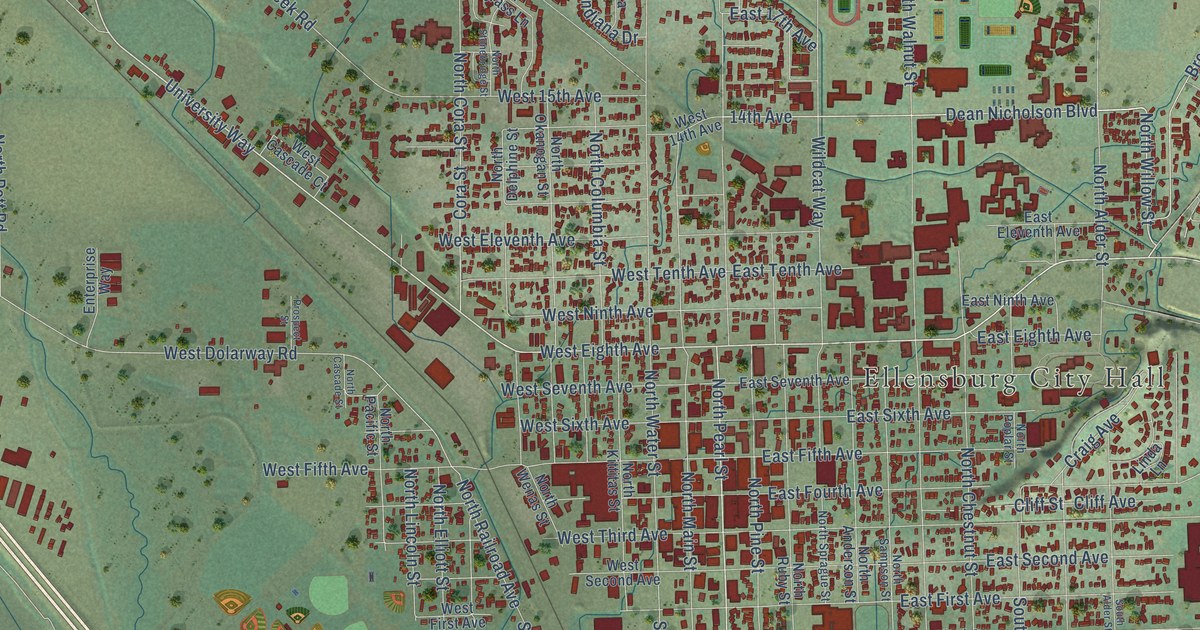
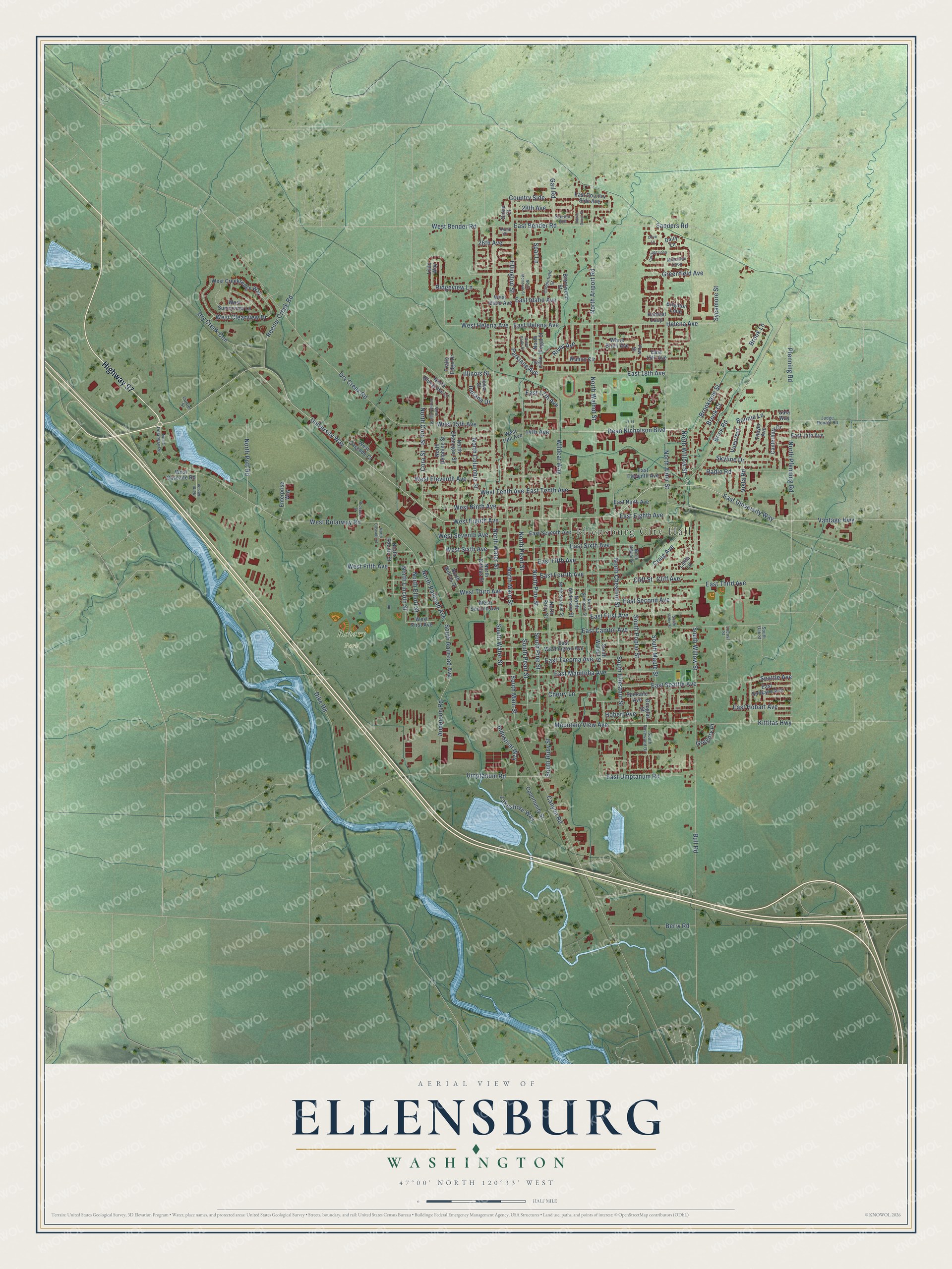
This beautifully detailed map of Ellensburg, Washington was created in 2026 using aerial imagery combined with modern topographical, census, street and landmark data. It’s a one-of-a-kind view of Ellensburg that combines accurate data with a vintage aesthetic. The map shows every building in its true location, many of the roads carry their names, and the shaded topographic relief shows the shape of the land.
Explore an aerial view of Ellensburg, Washington
On the map you’ll find Ellensburg City Hall and Rotary Park, along with Highway 97, University Way, North Willow Street, Dean Nicholson Boulevard, South Pearl Street, North Pearl Street, West Eighth Avenue, 14th Avenue, Parklane Avenue, Vantage Highway, and more. If you look closely you can even find your house accurately drawn in its correct location. Zoom in on the preview to look for yours.
Did you know this piece of Ellensburg, Washington history?
From HistoryLink.org: "Prosperity enabled Ellensburg to quickly rebuild after the fire of July 4, 1889."
Take a closer look at the Ellensburg map
Street and place names on the Ellensburg, Washington map
These names are printed on the map of Ellensburg, Washington.
Places: Ellensburg City Hall and Rotary Park.
Streets and roads: Highway 97, University Way, North Willow Street, Dean Nicholson Boulevard, South Pearl Street, North Pearl Street, West Eighth Avenue, 14th Avenue, Parklane Avenue, Vantage Highway, Mountain View Avenue, South Water Street.
More street names, A to Z
26th Avenue, 28th Avenue, Anderson Road, Annie Place, Berry Road, Bonnie Lane, Brentwood Street, Brick Road, Brighton Loop, Brook Court, Brook Lane, Brooklane Street, Bull Road, Canterbury Drive, Canyon Road, Carriage Loop, Cherry Lane, Cliff Avenue, Cliff Street, Cobblefield Street, Cora Street, Country Side, Craig Avenue, Currier Street, Dairy Lane, Dike Road, Douglas Street, Dry Creek Con, Dry Creek Road, East 14th Avenue, East 17th Avenue, East 18th Avenue, East 19th Avenue, East Bender Road, East Capitol Avenue, East Country Side Avenue, East Eighth Avenue, East Eleventh Avenue, East Fifth Avenue, East First Avenue, East Fourth Avenue, East Helena Avenue, East Hobart Avenue, East Idaho Avenue, East Manitoba Avenue, East Ninth Avenue, East Seattle Avenue, East Second Avenue, East Seventh Avenue, East Sixth Avenue, East Spokane Avenue, East Tacoma Avenue, East Tenth Avenue, East Third Avenue, East Umptanum Road, East University Way, East Washington Avenue, Ellington Street, Enterprise Way, Gail Road, Gala Way, Greenfield Avenue, Green Parks Drive, Gregory Place, Harvest Loop, Helena Avenue, Hobert Avenue, Illinois Street, Indiana Drive, Industrial Way, Iowa Street, Judge Ronald Road, Kittitas Highway, Kristen Avenue, Lakeshore Way, Lilac Way, Linda Lane, Locust Street, Millstone Loop, North Alder Street, North Anderson Street, North Ariport Road, North Bluegrass Lane, North Canal Street, North Cascade Street, North Chestnut Street, North Columbia Street, North Cora Street, North Delphine Street, North Dolarway Road, North Elliott Street, North Hibb Road, North Kittitas Street, North Lincoln Street, North Main Street, North McIntosh Street, North Okanogan Street, North Pacific Street, North Pfenning Road, North Pine Street, North Poplar Street, North Pott Road, North Railroad Avenue, North Regal Street, North Ruby Street, North Sampson Street, North Sprague Street, North Stonebridge Street, North Walnut Street, North Water Street, North Wenas Street, Olive Lane, Opportunity Street, Pfenning Road, Prospect Street, Radio Road, Reecer Creek Road, Regal Street, Ridgeview Lane, River Avenue, Sanders Road, Seattle Avenue, Skyline Drive, South Alder Street, South Chestnut Street, South Main Street, South Maple Street, South Oak Street, South Pine Street, South Poplar Street, South Railroad Avenue, South Rosewood Drive, South Ruby Street, South Walnut Street, South Willow Street, Spar Lane, Spokane Avenue, Susie Court, Sycamore Street, Thayer Avenue, Trails Edge Drive, Umptanum Road, Vista Road, Vuecrest, Walnut Circle, West 14th Avenue, West 15th Avenue, West Bender Road, West Cascade Court, West Cascade Road, West Clearview Drive, West Creeksedge Way, West Dolarway Road, West Eleventh Avenue, West Fifth Avenue, West First Avenue, West Helena Avenue, West Idaho Avenue, West Ninth Avenue, West Second Avenue, West Seventh Avenue, West Sixth Avenue, West Sunnyview Lane, West Tenth Avenue, West Third Avenue, White Birch Avenue, Wildcat Way, Yew Street.
See the Ellensburg, Washington map on a wall
The Ellensburg map as an 18 x 24 inch print in a black frame.

This beautifully detailed map of Ellensburg makes an attractive addition to your office, library, or den, and it can even be used to teach children the geography and history of the area. It also makes a great gift for anyone who grew up in Ellensburg or moved away. When you’re done exploring, click here to get your copy of the Ellensburg map.