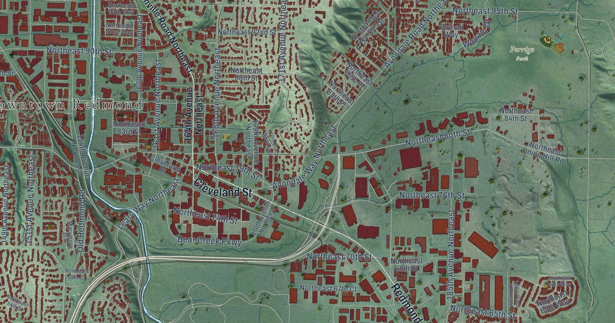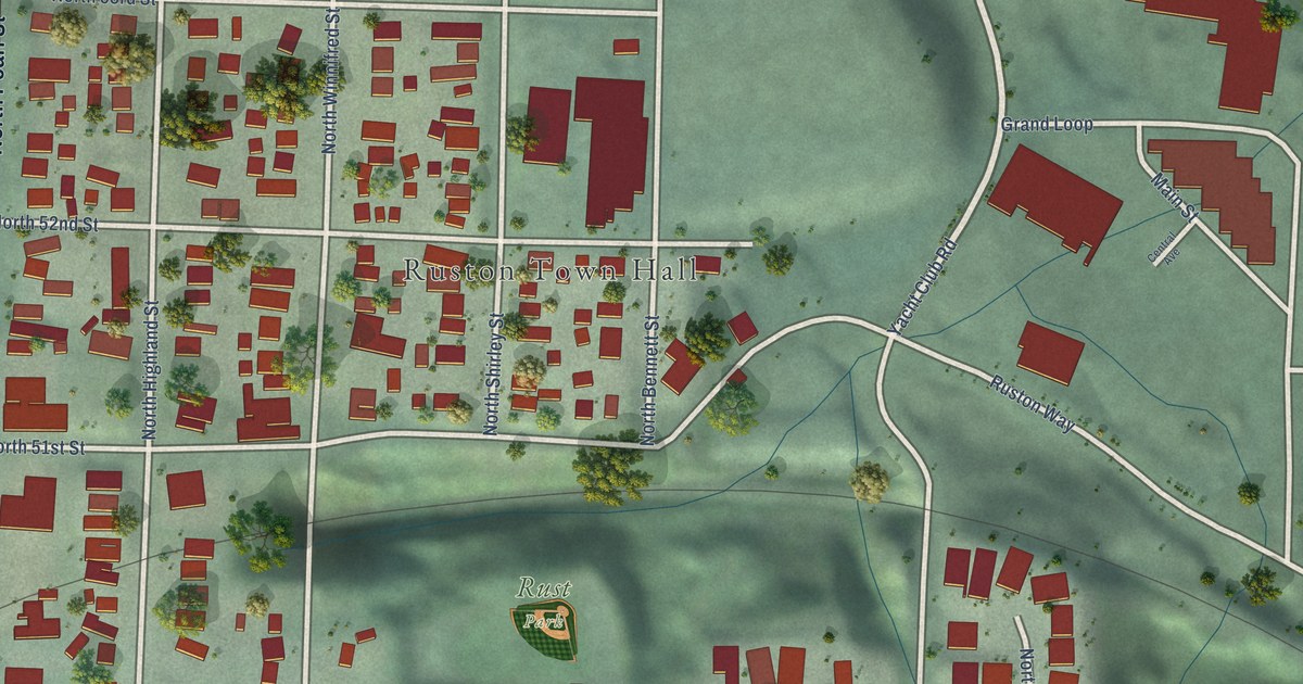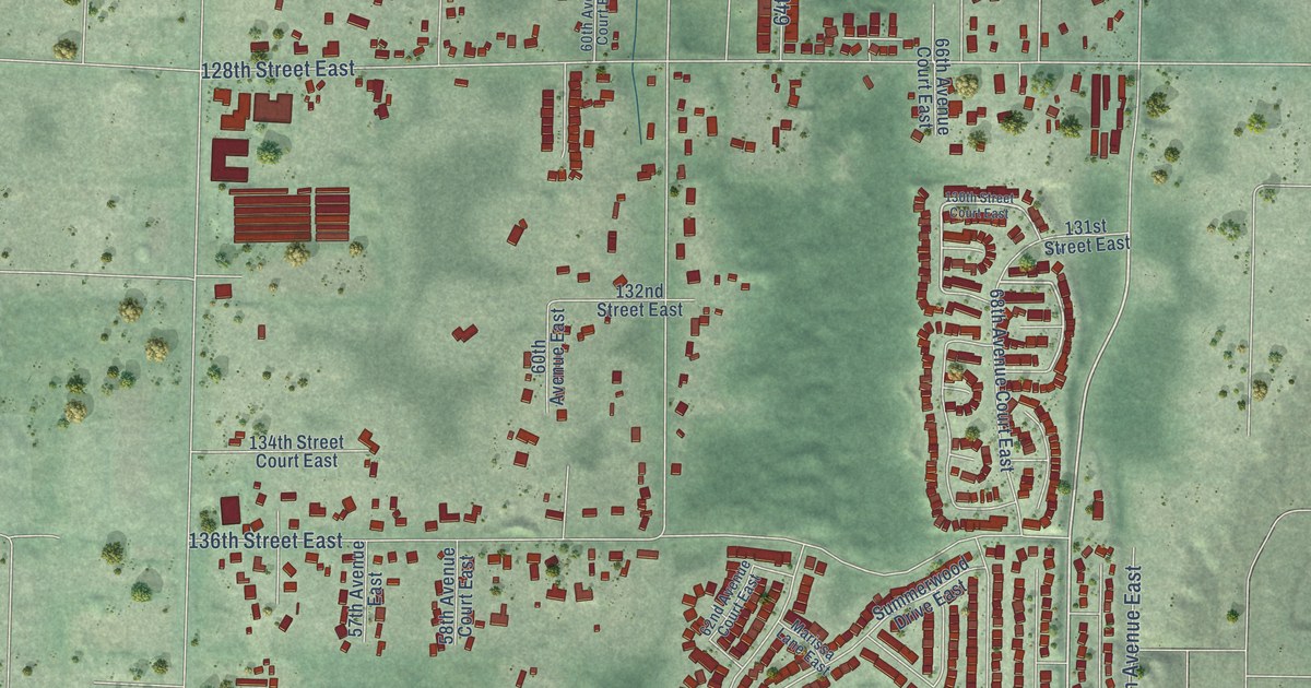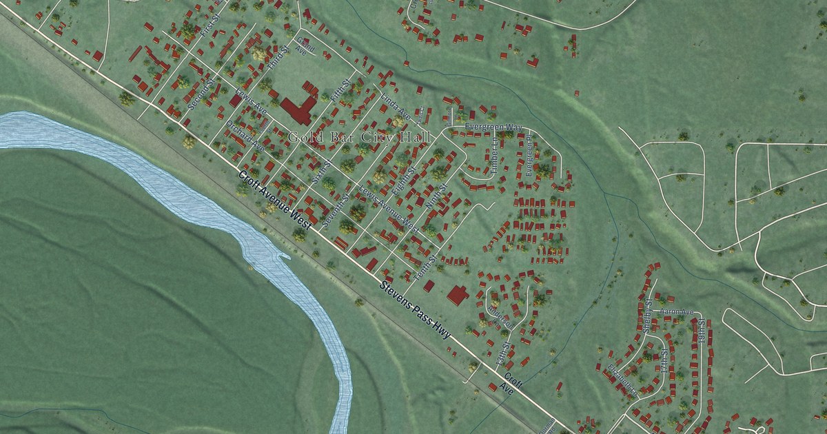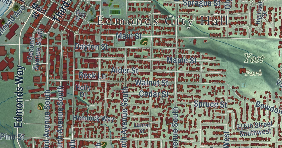
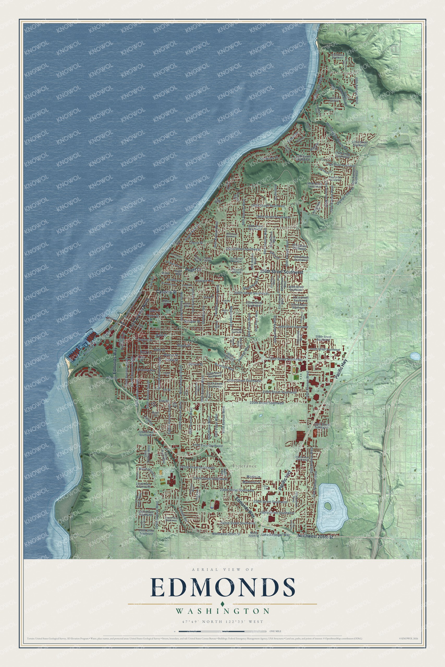
This beautifully detailed map of Edmonds, Washington was created in 2026 using aerial imagery combined with modern topographical, census, street and landmark data. It’s a one-of-a-kind view of Edmonds that combines accurate data with a vintage aesthetic. The map shows every building in its true location, many of the roads carry their names, and the shaded topographic relief shows the shape of the land.
Explore an aerial view of Edmonds, Washington
On the map you’ll find Edmonds City Hall, Meadowdale, Firdale, Esperance, Yost Park, and Perrinville, along with Edmonds Way, Puget Drive, Caspers Street, Third Avenue North, Northwest 205th Street, Pacific Highway, and more. If you look closely you can even find your house accurately drawn in its correct location. Zoom in on the preview to look for yours.
Did you know this piece of Edmonds, Washington history?
From HistoryLink.org: "As the population grew, Brackett built the first sawmill on the waterfront in 1889; it was later destroyed by fire."
Take a closer look at the Edmonds map
Street and place names on the Edmonds, Washington map
These names are printed on the map of Edmonds, Washington.
Places: Edmonds City Hall, Meadowdale, Firdale, Esperance, Yost Park and Perrinville.
Streets and roads: Edmonds Way, Puget Drive, Caspers Street, Third Avenue North, Northwest 205th Street, Pacific Highway, 196th Street Southwest, Ninth Avenue North, Ninth Avenue South, Sunset Avenue North, Lake Ballinger Way, 240th Street Southwest.
More street names, A to Z
68th Avenue Southwest, 68th Avenue West, 70th Avenue West, 72nd, 72nd Avenue West, 73rd Avenue West, 74th Avenue West, 74th Place West, 75th Avenue West, 75th Place West, 76th Avenue West, 77th Avenue West, 77th Place West, 78th Avenue West, 78th Place West, 80th Avenue West, 80th Place West, 81st Avenue West, 81st Place West, 82nd Avenue West, 82nd Place West, 83rd Avenue West, 84th Avenue West, 85th Place West, 86th Avenue West, 86th Place West, 88th Avenue West, 88th Place West, 92nd Avenue West, 93rd Place West, 94th Avenue West, 95th Avenue West, 95th Place West, 96th Avenue West, 96th Place West, 97th Avenue West, 97th Place West, 98th Avenue West, 100th Avenue West, 102nd Place West, 104th Avenue West, 106th Avenue West, 106th Place West, 107th Place West, 156th Street Southwest, 164th Street Southwest, 172nd Street Southwest, 174th Street Southwest, 175th Street Southwest, 176th Street Southwest, 179th Street Southwest, 180th Street Southwest, 184th Street Southwest, 186th Street Southwest, 188th Street Southwest, 189th Place Southwest, 191st Street Southwest, 192nd Street Southwest, 193rd Place Southwest, 194th Street Southwest, 199th Street Southwest, 200th Street Southwest, 201st Street Southwest, 202nd Place Southwest, 202nd Street Southwest, 206th Street Southwest, 207th Place Southwest, 208th Street Southwest, 210th Street Southwest, 212th Street Southwest, 215th Street Southwest, 216th Street Southwest, 217th Street Southwest, 218th Street Southwest, 220th Street Southwest, 224th Street Southwest, 226th Street Southwest, 228th Street Southwest, 230th Street Southwest, 232nd Street Southwest, 234th Street Southwest, 235th Place Southwest, 236th Street Southwest, 238th Street Southwest, 240th Place Southwest, 241st Place Southwest, 242nd Street Southwest, 244th Street Southeast, Admiral Way, Alder Street, Aloha Street, Andover Street, Beck Lane, Bell Street, Bertola Road, Birch Street, Bowdoin Way, Braemar Drive, Brookmere Drive, Brookmere Street, Carol Way, Cary Road, Cascade Drive, Cedar Street, Cherry Street, Cyrus Place, Daley Street, Dayton Street, Driftwood Lane, Eaton Avenue, Eighth Avenue South, Elm Place, Elm Street, Elm Way, Euclid Avenue, Ferry Dock, Fifth Avenue South, Firdale Avenue, Fir Street, Forest Dell Drive, Fourth Avenue South, Frederick Place, Glen Street, Hemlock Way, Highland Drive, High Street, Hillcrest Place, Hindley Lane, Holly Drive, Homeview Drive, Humber Lane, Laurel Street, Lotus Lane, Madrona Lane, Main Street, Maple Lane, Maple Street, Maplewood Drive, Maplewood Lane, Meadowdale Beach Road, Melody Lane, North 205th Street, North Meadowdale Road, Northstream Lane, Ocean Avenue, Olympic Avenue, Olympic View Drive, Paradise Lane, Pine Street, Pioneer Way, Puget Way, Railroad Avenue, Robin Hood Drive, Sealawn Drive, Sea Vista Place, Second Avenue South, Seventh Avenue South, Shell Valley Road, Sierra Drive, Sierra Street, Sixth Avenue South, Soundview Drive, Sound View Place, Sprague Street, Spruce Street, Sunset Way, Talbot Road, Tenth Avenue North, Third Avenue South, Twelfth Avenue North, Viewland Way, Vista del Mar Drive, Vista Place, Walnut Street.
See the Edmonds, Washington map on a wall
The Edmonds map as an 18 x 24 inch print in a black frame.

This beautifully detailed map of Edmonds makes an attractive addition to your office, library, or den, and it can even be used to teach children the geography and history of the area. It also makes a great gift for anyone with Edmonds roots. When you’re done exploring, click here to get your copy of the Edmonds map.