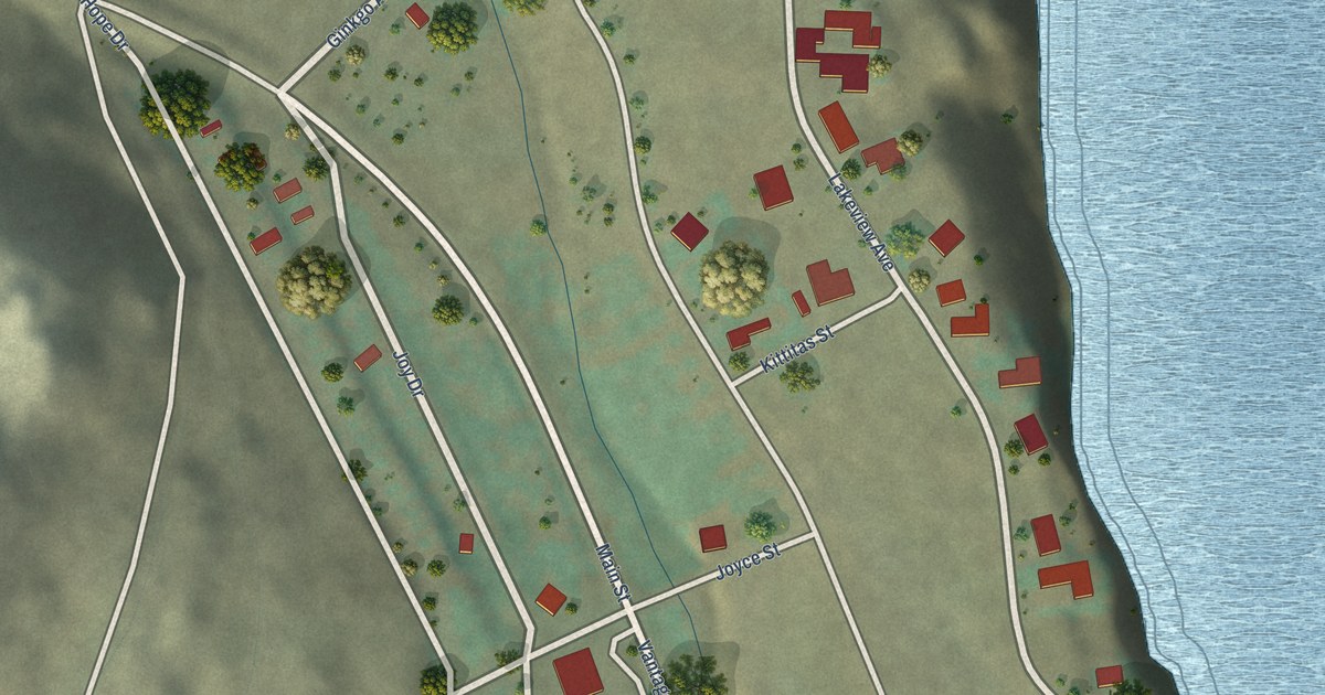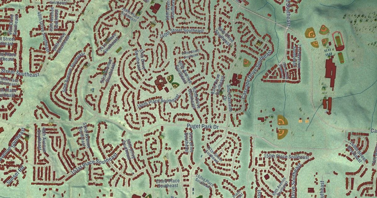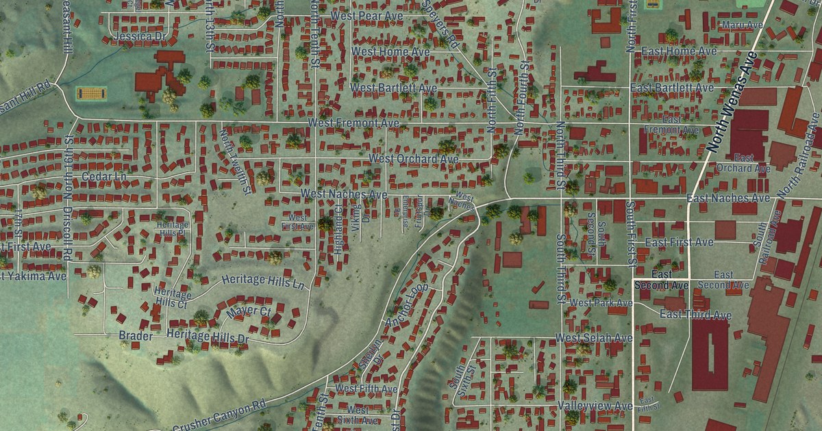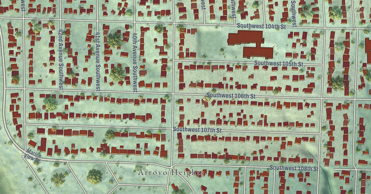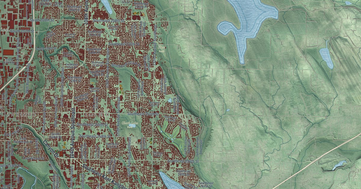
This beautifully detailed map of Kent, Washington was created in 2026 using aerial imagery combined with modern topographical, census, street and landmark data. It’s a one-of-a-kind view of Kent that combines accurate data with a vintage aesthetic. The map shows every building in its true location, many of the roads carry their names, and the shaded topographic relief shows the shape of the land.
Explore an aerial view of Kent, Washington
On the map you’ll find Downtown, Clark Lake Park, Huse Park, East Hill, O’Brien, Orillia, and Star Lake, along with 68th Avenue South, West Valley Highway, Pacific Highway South, South Kent Des Moines Road, Southeast Kent Kangley Road, and more. If you look closely you can even find your house accurately drawn in its correct location. Zoom in on the preview to look for yours.
Did you know this piece of Kent, Washington history?
From HistoryLink.org: "The city of Kent, located 15 miles southeast of Seattle, was home to some of the earliest white settlers in King County, and was the first city in King County to incorporate outside of Seattle."
Take a closer look at the Kent map
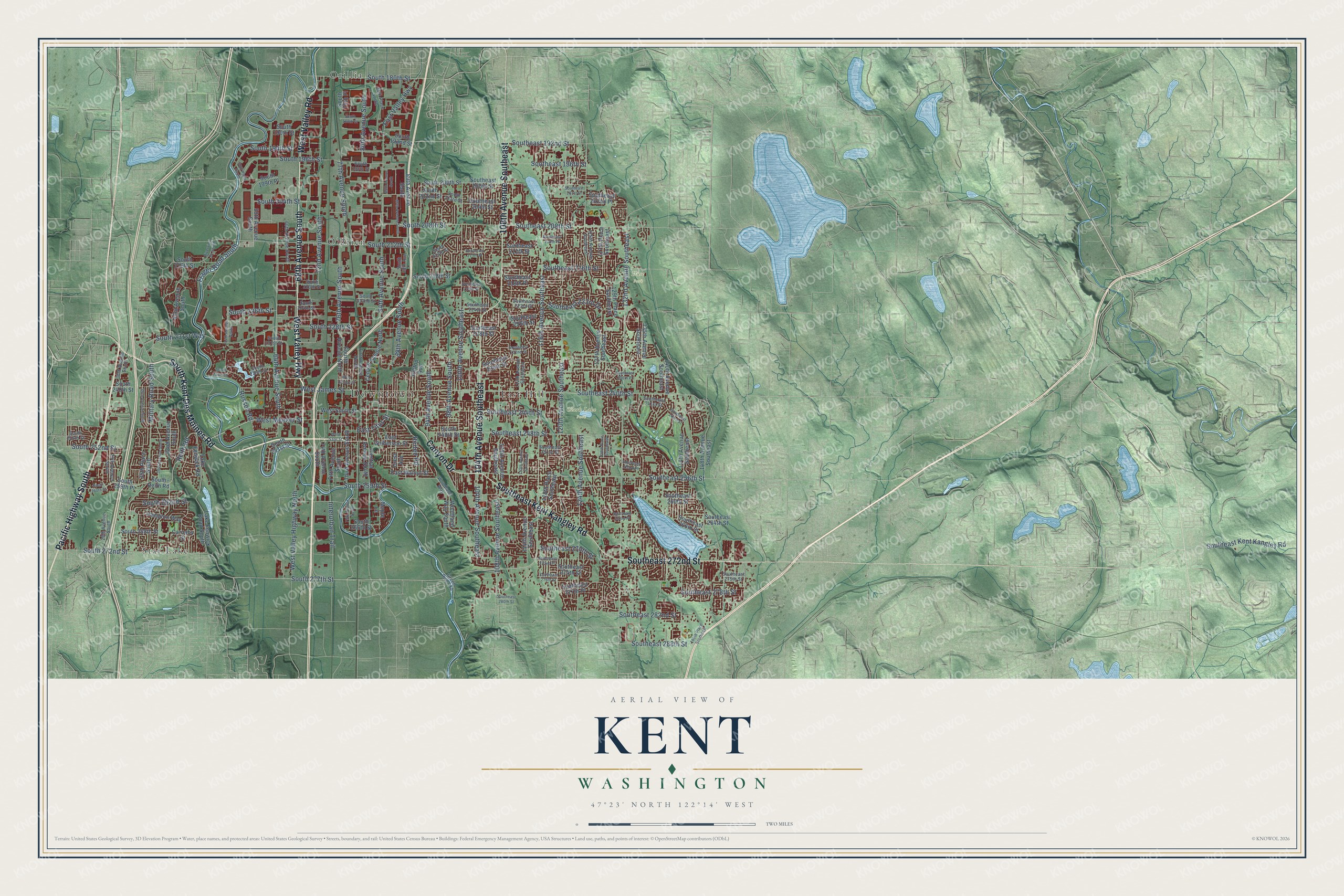
Street and place names on the Kent, Washington map
These names are printed on the map of Kent, Washington.
Places: Downtown, Clark Lake Park, Huse Park, East Hill, O'Brien, Orillia and Star Lake.
Streets and roads: 68th Avenue South, West Valley Highway, Pacific Highway South, South Kent Des Moines Road, Southeast Kent Kangley Road, 108th Avenue Southeast, 104th Avenue Southeast, Southeast 272nd Street, West Valley Road, Canyon Drive, 116th Avenue Southeast, West Meeker Street.
More street names, A to Z
28th Avenue South, 29th Avenue South, 30th Avenue South, 35th Avenue South, 35th Place South, 38th Avenue South, 42nd Avenue South, 43rd Avenue South, 54th Avenue South, 58th Place South, 59th Avenue South, 64th Avenue South, 66th Avenue South, 72nd Avenue South, 74th Avenue South, 76th Avenue South, 77th Avenue South, 79th Avenue South, 80th Avenue South, 80th Place South, 84th Avenue South, 85th Avenue South, 87th Avenue South, 88th Avenue South, 89th Avenue South, 94th Avenue South, 98th Avenue South, 100th Avenue Southeast, 109th Avenue Southeast, 112th Avenue Southeast, 113th Avenue Southeast, 114th Avenue Southeast, 118th Place Southeast, 120th Avenue Southeast, 124th Avenue Southeast, 125th Avenue Southeast, 127th Avenue Southeast, 127th Place Southeast, 128th Place Southeast, 129th Place Southeast, 132nd Avenue Southeast, 135th Avenue Southeast, 140th Avenue Southeast, 144th Avenue Southeast, 146th Place Southeast, 148th Avenue Southeast, Carnaby Street, Central Avenue North, Central Avenue South, Crest Avenue, East Guiberson Street, East Titus Street, East Valley Highway, East Walnut Street, Fifth Avenue South, First Avenue North, Fourth Avenue North, Frager Road South, Green River Road, Hampton Way, Hilltop Avenue, Interurban Trail, Lake Fenwick Road, Lake Fenwick Road South, Maple Lane, Military Road South, Reiten Road, Reith Road, Riverview Bv South, Russell Road, South 75th Place, South 88th Avenue, South 180th Street, South 188th Street, South 190th Street, South 192nd Street, South 194th Street, South 196th Street, South 198th Street, South 199th Place, South 200th Street, South 202nd Street, South 203rd Street, South 204th Street, South 208th Street, South 212th Street, South 213th Street, South 216th Street, South 218th Street, South 220th Street, South 222nd Street, South 224th Street, South 226th Street, South 228th Street, South 231st Street, South 231st Way, South 236th Street, South 237th Place, South 240th Street, South 248th Street, South 250th Street, South 251st Street, South 252nd Street, South 259th Place, South 259th Street, South 260th Street, South 262nd Street, South 266th Street, South 268th Street, South 272nd Street, South 277th Street, Southeast 192nd Street, Southeast 196th Street, Southeast 200th Street, Southeast 201st Street, Southeast 202nd Place, Southeast 204th Street, Southeast 208th Street, Southeast 210th Place, Southeast 212th Street, Southeast 213th Place, Southeast 216th Street, Southeast 218th Place, Southeast 220th Street, Southeast 223rd Drive, Southeast 223rd Street, Southeast 224th Street, Southeast 226th Street, Southeast 228th Street, Southeast 232nd Street, Southeast 235th Street, Southeast 236th Place, Southeast 240th Street, Southeast 241st Street, Southeast 243rd Street, Southeast 244th Street, Southeast 248th Street, Southeast 251st Street, Southeast 253rd Place, Southeast 256th Street, Southeast 260th Street, Southeast 263rd Place, Southeast 264th Street, Southeast 266th Street, Southeast 270th Street, Southeast 272nd Place, Southeast 274th Street, Southeast 275th Street, Southeast 276th Street, Southeast 277th Place, Southeast 278th Street, Southeast 280th Street, Southeast 282nd Street, Southeast 288th Street, South Reith Road, Third Avenue South, West Cloudy Street, West James Street, West Saar Street, West Smith Street, West Valley Highway North, Woodland Way, Woodland Way South.
See the Kent, Washington map on a wall
The Kent map as an 18 x 24 inch print in a black frame.

This beautifully detailed map of Kent makes an attractive addition to your office, library, or den, and it can even be used to teach children the geography and history of the area. It also makes a great gift for anyone who grew up in Kent or moved away. When you’re done exploring, click here to get your copy of the Kent map.