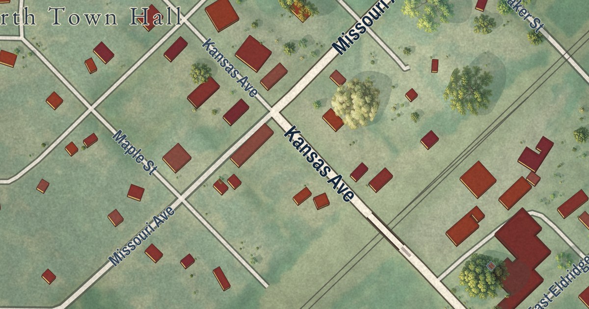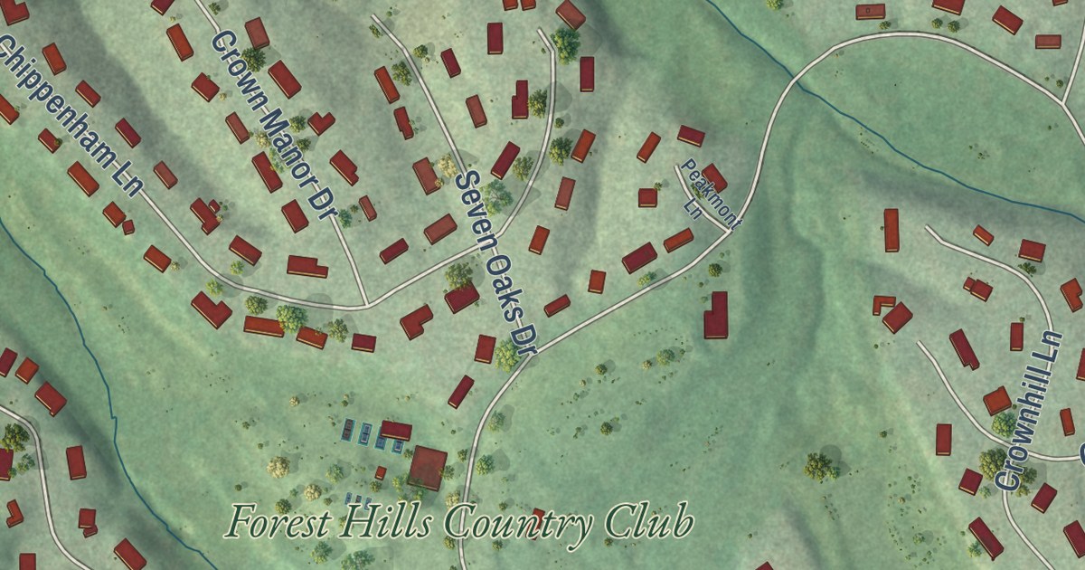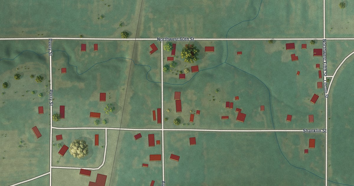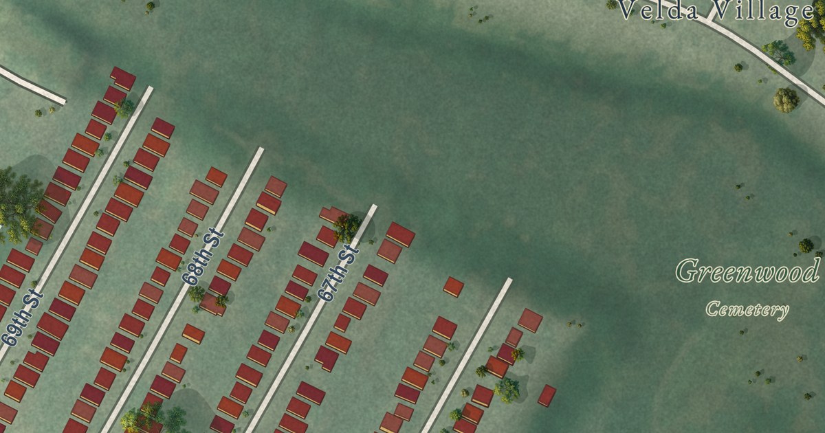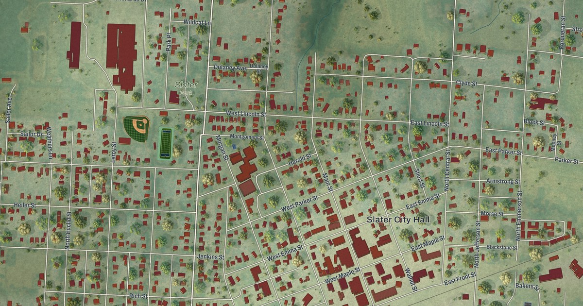
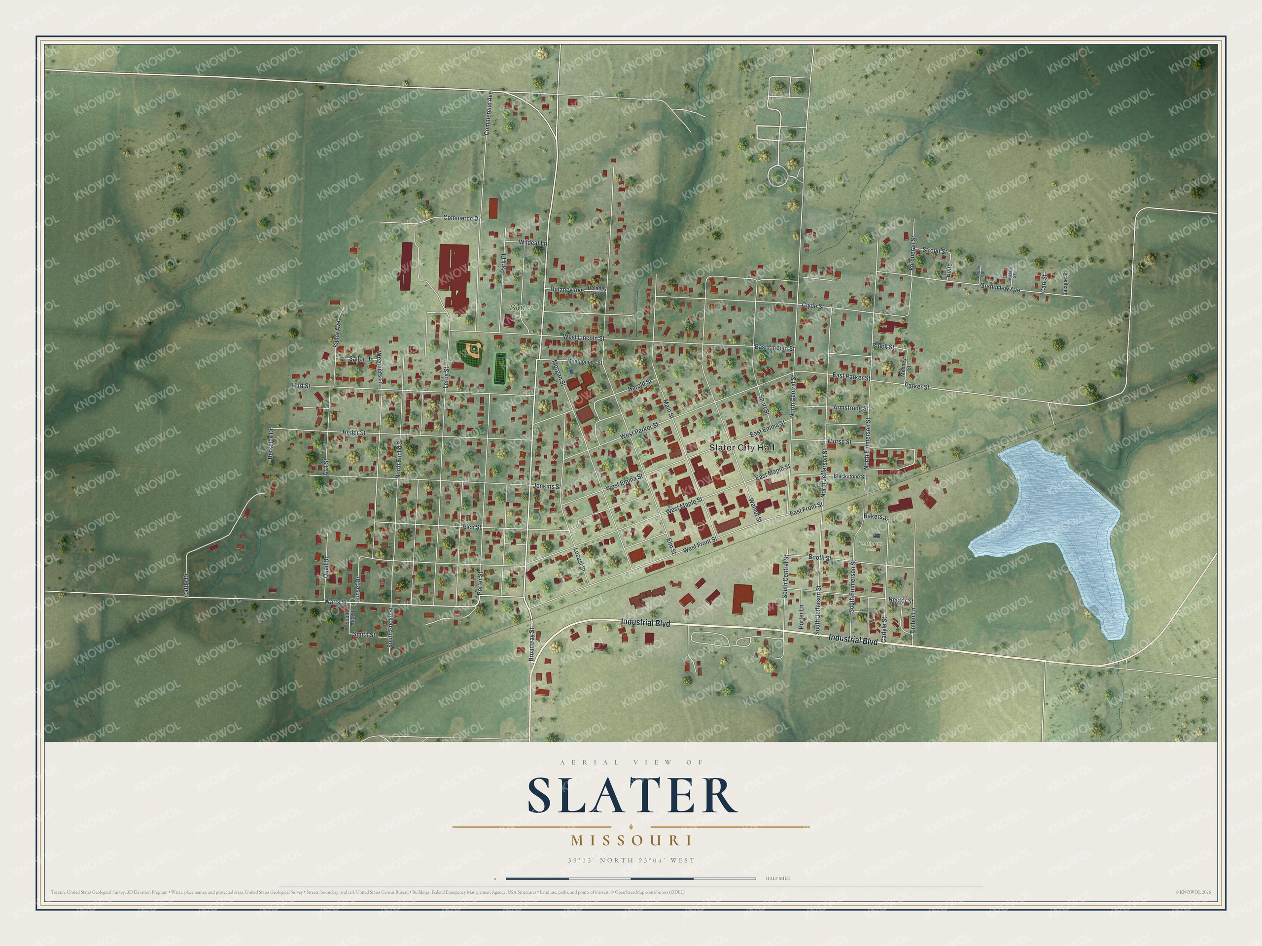
This beautifully detailed map of Slater, Missouri was created in 2026 using aerial imagery combined with modern topographical, census, street and landmark data. It’s a one-of-a-kind view of Slater that combines accurate data with a vintage aesthetic. The map shows every building in its true location, many of the roads carry their names, and the shaded topographic relief shows the shape of the land.
Explore an aerial view of Slater, Missouri
On the map you’ll find Slater City Hall, Slater Park, and Pettigrew Park, along with Industrial Boulevard, Broadway Street, Watts Street, Parker Street, Hurt Street, Rich Street, South Euclid Street, Elm Street, West Maple Street, and more. If you look closely you can even find your house accurately drawn in its correct location. Zoom in on the preview to look for yours.
Did you know this piece of Slater, Missouri history?
From the 1881 History of Saline County, Missouri: "In 1879 he moved to Saline county, and settled in Slater, then containing but one hundred inhabitants, where he continued the practice of dentistry, in connection with a first-class drug store."
Take a closer look at the Slater map
Street and place names on the Slater, Missouri map
These names are printed on the map of Slater, Missouri.
Places: Slater City Hall, Slater Park and Pettigrew Park.
Streets and roads: Industrial Boulevard, Broadway Street, Watts Street, Parker Street, Hurt Street, Rich Street, South Euclid Street, Elm Street, West Maple Street, Walnut Street, Leroy Street, North Central Street.
More street names, A to Z
Armstrong Street, Ash Street, Bakers Street, Beeler Street, Berkeley Drive, Blackstone Street, Block Street, Bolte, Booth Street, Carlyle Street, Carr Street, Cattle Drive, Clyde Street, Commerce Drive, Commercial Avenue, Dulaney Avenue, Dulaney Street, East Emma Street, East Front Street, East Lincoln Street, East Maple Street, East Parker Street, Forqueran Street, Grandview Avenue, Harold Street, Heiler Street, Jacque Street, Jenkins Street, Locust Street, Main Street, Montgomery Street, Mooney Street, Morgan Street, Morse Street, North Emmerson Street, North Euclid Street, North Jefferson Street, Park Place, Porter Lane, Porter Street, Quail Drive, Rector Street, Sailor Avenue, Sailor Drive, Seward Street, Short Street, Smith Street, South Ada Street, South Central Street, South Emmerson Street, South Jefferson Street, Stroud Street, Sunset Drive, Timber Lane, Weathers Lane, West Emma Street, West Front Street, West Lincoln Street, West Parker Street, Wildcat Lane.
See the Slater, Missouri map on a wall
The Slater map as an 18 x 24 inch print in a black frame.

This beautifully detailed map of Slater makes an attractive addition to your office, library, or den, and it can even be used to teach children the geography and history of the area. It also makes a great gift for anyone who grew up in Slater or moved away. When you’re done exploring, click here to get your copy of the Slater map.