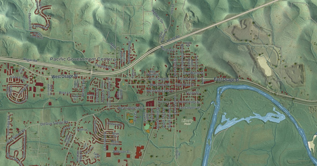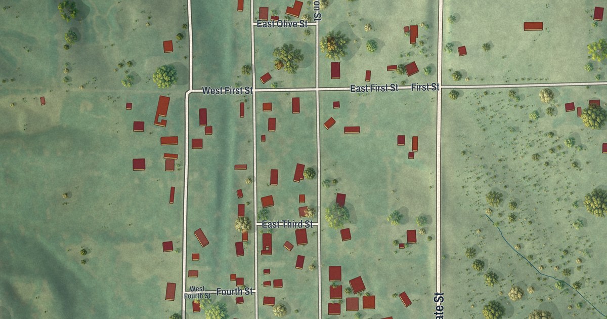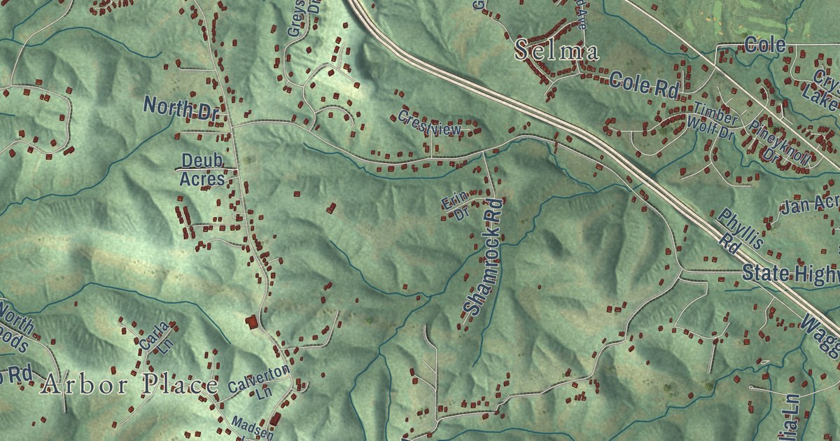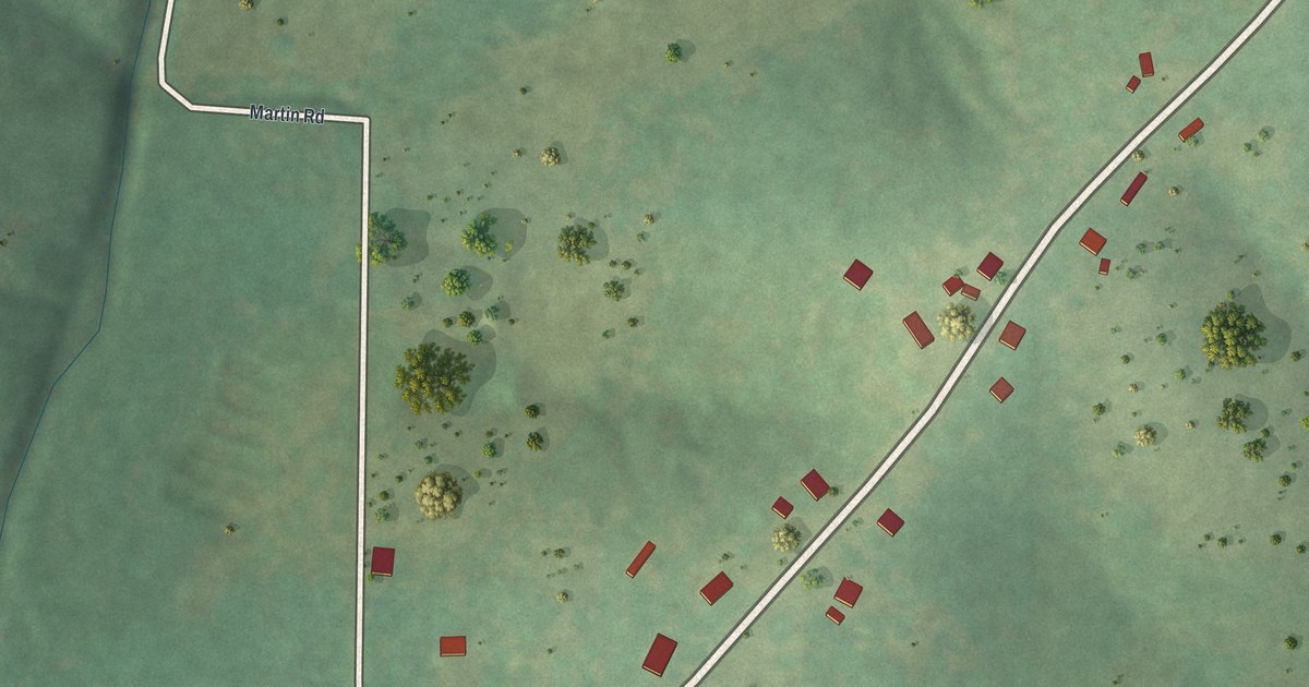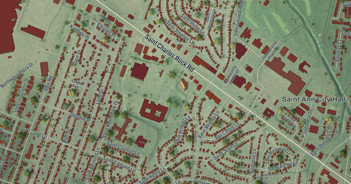
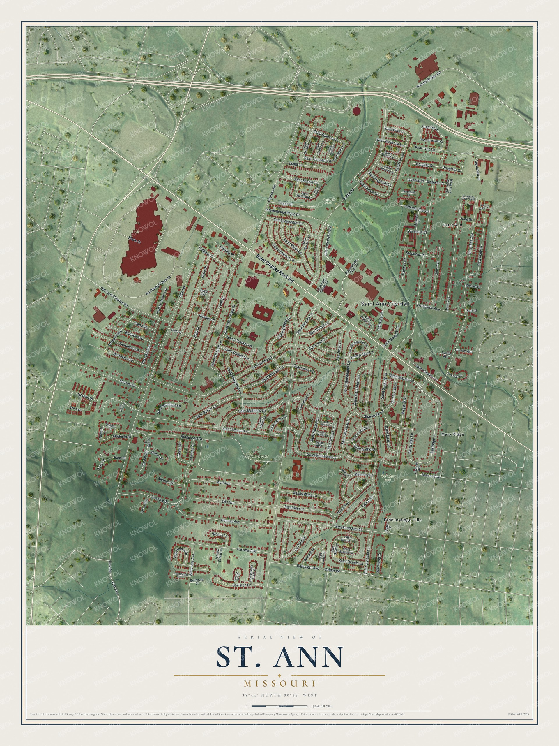
This beautifully detailed map of St. Ann, Missouri was created in 2026 using aerial imagery combined with modern topographical, census, street and landmark data. It’s a one-of-a-kind view of St. Ann that combines accurate data with a vintage aesthetic. The map shows every building in its true location, many of the roads carry their names, and the shaded topographic relief shows the shape of the land.
Explore an aerial view of St. Ann, Missouri
On the map you’ll find Saint Ann City Hall, Tiemeyer Park, Schafer Park, Vatterott Fields, Breckenridge Hills, Mary Ridge, and International Plaza, along with Saint Charles Rock Road, San Carlos Lane, Ashby Road, Eastridge Lane, and more. If you look closely you can even find your house accurately drawn in its correct location. Zoom in on the preview to look for yours.
Did you know this piece of St. Ann, Missouri history?
From the City of St. Ann: "The City of St. Ann began to function as a municipality on April 13, 1948. This is when the St. Louis County Court granted a petition for incorporation to residents of the area."
Take a closer look at the St. Ann map
Street and place names on the St. Ann, Missouri map
These names are printed on the map of St. Ann, Missouri.
Places: Saint Ann City Hall, Tiemeyer Park, Schafer Park, Vatterott Fields, Breckenridge Hills, Mary Ridge and Saint Ann.
Streets and roads: Saint Charles Rock Road, San Carlos Lane, Ashby Road, International Plaza, Eastridge Lane, Saint Martha Lane, Shamrock Lane, Saint Damian Drive, Constance Court, Saint Kevin Lane, Liana Lane, Saint Leo Lane.
More street names, A to Z
Adie Road, Ashby Place Lane, Baltimore, Baltimore Avenue, Bellecote Avenue, Bellecote Court, Benson Avenue, Bernice Avenue, Blake Drive, Boylston Drive, Boylston Hill Court, Breckenridge Road, Buder Court, Cabana Club Drive, Camshire Court, Carlow Drive, Carlow Place, Cavan Drive, Charles Place, Chaucer Avenue, Community Center Drive, Country Lane, Crestshire Lane, Cypress Road, Dixie Drive, Douglas Court, Douglass Court, Dundee Place, Easy Court, Easy Street, Esseldale Drive, Executive Drive South, Executive Drive West, Fairway Court, Farview Avenue, Farview Estates Drive, Florence Avenue, Fox Hall Court, Fulton Way, Galahad Drive, Gayle Avenue, Georgetown Farm Court, Geraldine Avenue, Gertrude Avenue, Glenwood Court, Graben Drive, High Drive, Hobday Avenue, Imperial Gardens Drive, Industrial Drive, International Plaza Court, International Plaza Drive, Isabelle Court, Isabelle Place, Ivan Avenue, Jane Avenue, Jeremiah Court, June Drive, Killdare Court, Kingbee Place, Krem Avenue, Lansing Drive, La Vista Drive, Lee Lane, Link Avenue, Link Road, Little Flower Lane, Litz Avenue, Livingston Avenue, Long Drive, Lorraine Avenue, Lucille Avenue, Lynros Drive, Marmary Lane, Mercer Court, Mert Avenue, Millwood Avenue, Mitchell Court, Modesto Drive, Modesto Lane, Morrow Drive, Natural Bridge Road, Northwest Plaza Drive, Oak Pointe Drive, Old Saint Charles Road, Orchard Avenue, Parc Chalet Drive, Pear Blossom Court, Pearl Harbor Drive, Pear Tree Lane, Quebec Court, Ridgecrest Drive, Ronald Drive, Saint Agnes Lane, Saint Ambrose Lane, Saint Ann Lane, Saint Anthony, Saint Arsene Lane, Saint Arthur Lane, Saint Barbara Lane, Saint Bernard Lane, Saint Blase Lane, Saint Boniface Lane, Saint Bridget Lane, Saint Cecelia Lane, Saint Charles Lane, Saint Christopher Lane, Saint Clement Lane, Saint Clovis Lane, Saint Cosmas Lane, Saint Daniel Lane, Saint David Lane, Saint Dennis Lane, Saint Dolores Drive, Saint Dominic Lane, Saint Donald Lane, Saint Edmund Lane, Saint Francis Court, Saint Francis Lane, Saint Genevieve Lane, Saint Girard Lane, Saint Gregory Court, Saint Gregory Lane, Saint Helen Lane, Saint Henry Lane, Saint Ignatius Lane, Saint Jerome Lane, Saint Joachim Lane, Saint Joan Lane, Saint Jude Lane, Saint Katherine Lane, Saint Kevin Park Drive, Saint Lawrence Lane, Saint Linus Lane, Saint Luke Lane, Saint Marguerite Lane, Saint Mark Lane, Saint Martin Lane, Saint Matthew Lane, Saint Matthias Lane, Saint Michael Lane, Saint Michael Terr Court, Saint Monica Lane, Saint Philip Lane, Saint Pius Lane, Saint Raphael Lane, Saint Regina Lane, Saint Richard Lane, Saint Sebastian Lane, Saint Shawn Lane, Saint Stephen Lane, Saint Williams Lane, Saint Xavier Lane, San Jose Lane, Sims Avenue, Stephens Place, Sue Court, Theresa Avenue, Townley Drive, Tropic Drive, We Avenue, Wendy Lane, Westridge Lane, Wright Avenue.
See the St. Ann, Missouri map on a wall
The St. Ann map as an 18 x 24 inch print in a black frame.

This beautifully detailed map of St. Ann makes an attractive addition to your office, library, or den, and it can even be used to teach children the geography and history of the area. It also makes a great gift for someone who left St. Ann and still calls it home. When you’re done exploring, click here to get your copy of the St. Ann map.