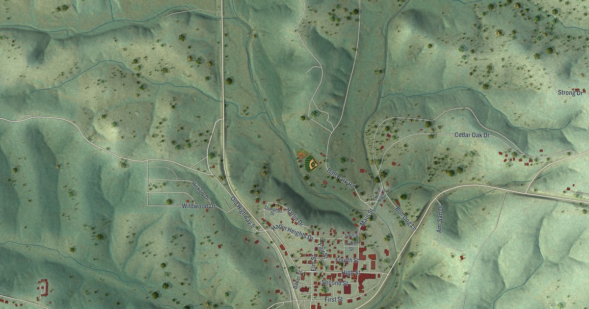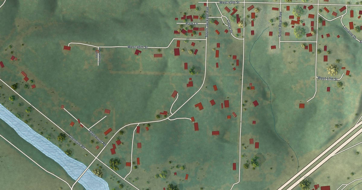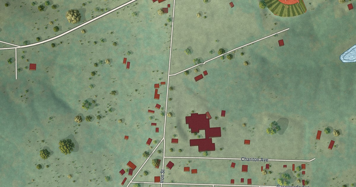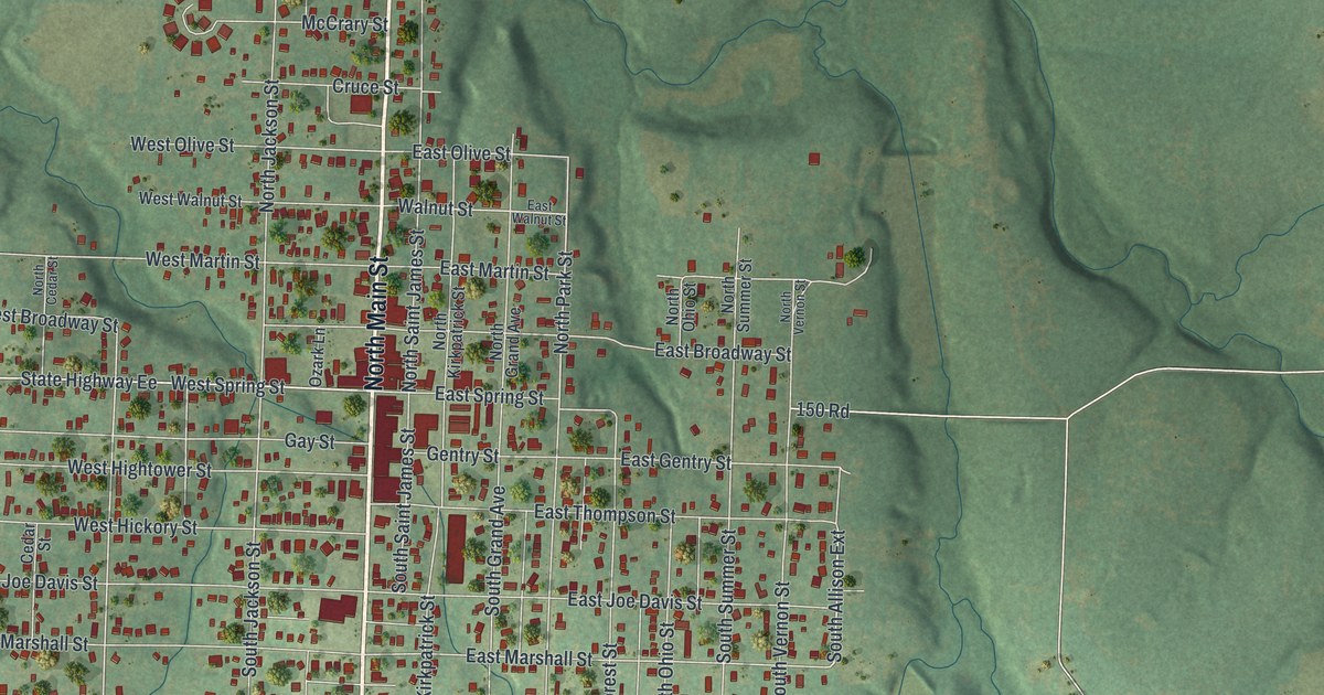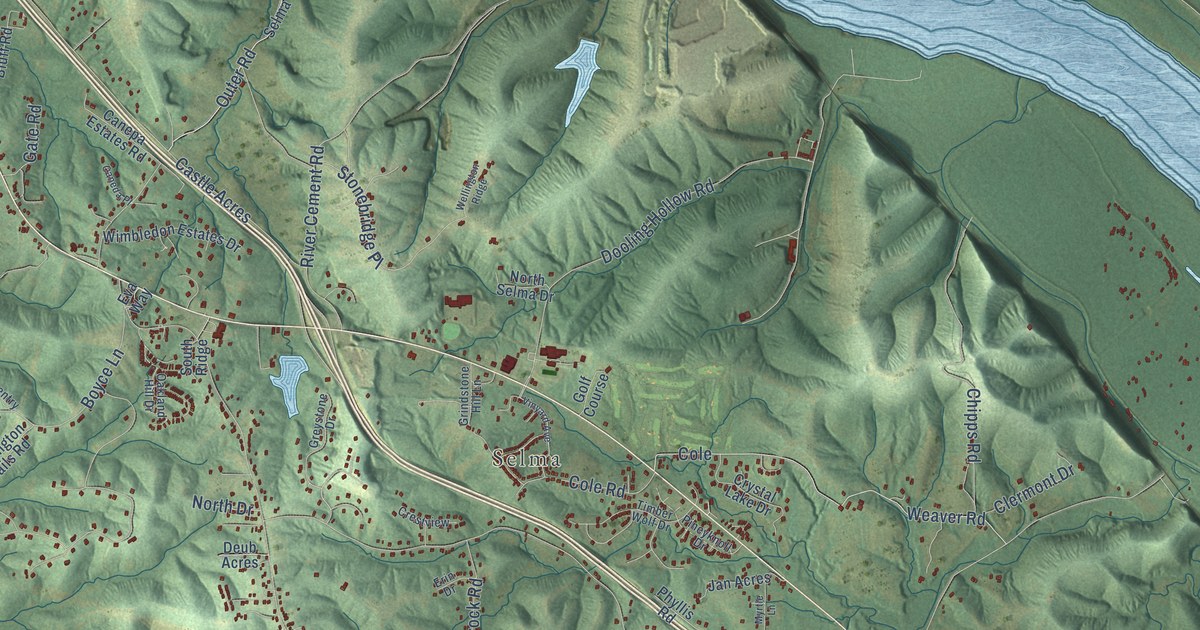
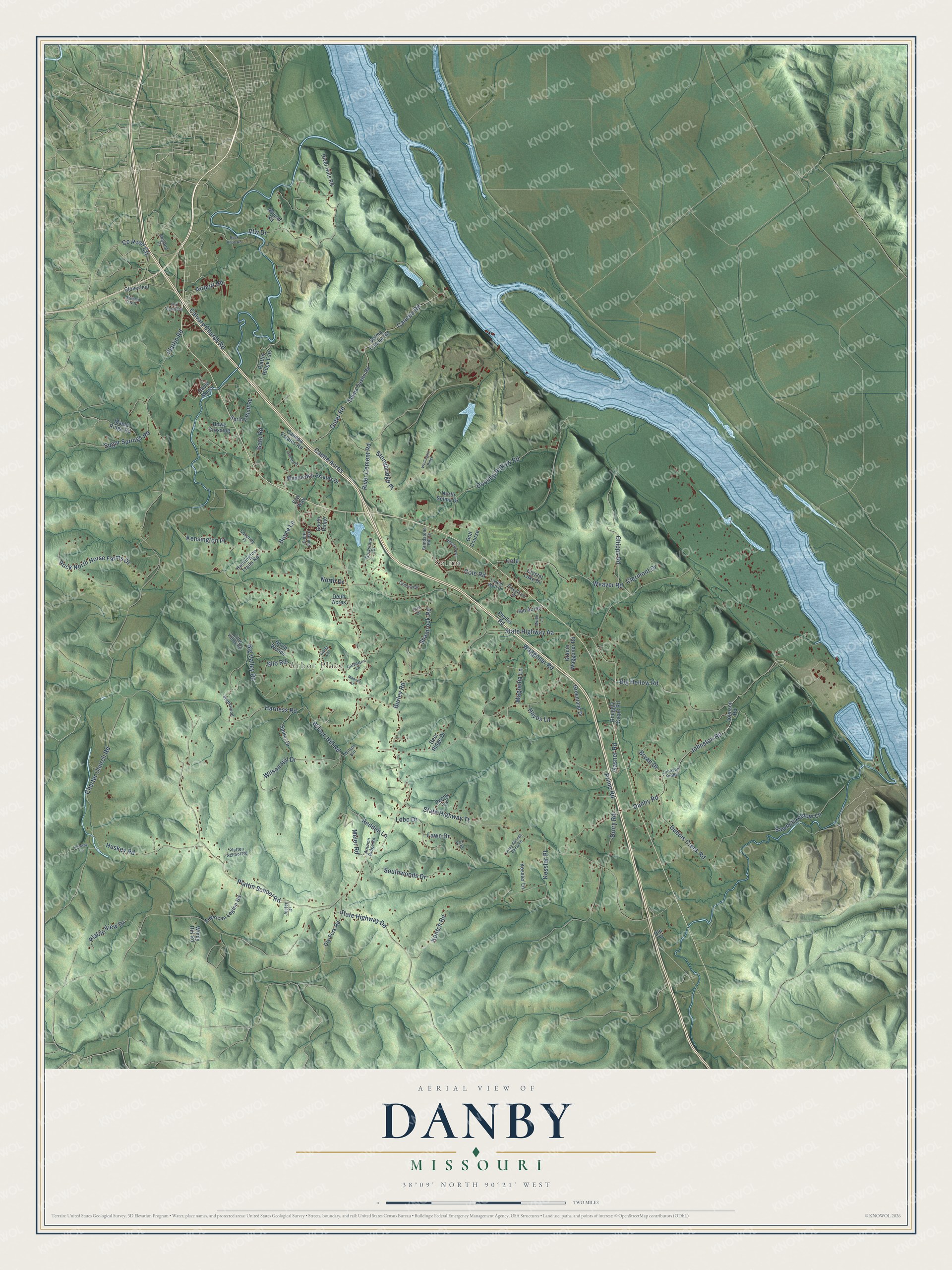
This beautifully detailed map of Danby, Missouri was created in 2026 using aerial imagery combined with modern topographical, census, street and landmark data. It’s a one-of-a-kind view of Danby that combines accurate data with a vintage aesthetic. The map shows every building in its true location, many of the roads carry their names, and the shaded topographic relief shows the shape of the land.
Explore an aerial view of Danby, Missouri
On the map you’ll find Arbor Place and Selma, along with Big Hollow Road, Johnston Road, County Road CC, Drury Road, State Highway Tt, State Highway Aa, Plattin School Road, Plattin Road, Canepa Road, Waggoner Road, and more. If you look closely you can even find your house accurately drawn in its correct location. Zoom in on the preview to look for yours.
Did You Know?
From Internet Archive: "The first wooden greenhouses ever made were those erected at Oxford, in 1734, on either side of the Danby Gate.?"
Danby is a community in Jefferson County.
Take a closer look at the Danby map
Names on this map
These names are printed on this map.
Places: Arbor Place, Selma and Golf Course.
Streets and roads: Big Hollow Road, Johnston Road, County Road CC, Drury Road, State Highway Tt, State Highway Aa, Plattin School Road, Plattin Road, Canepa Road, Waggoner Road, Castle Acres, Harness Road.
More street names, A to Z
Airport Road, American Legion Road, Autumn Ridge Road, Big Valley Road, Boyce Lane, Bridlewood, Bryan Drive, Buck Knob Road, Burley Road, Calvary Church Road, Calverton Lane, Caneda Place, Canepa Estates Road, Carla Lane, Charter Church Road, Chipps Road, Clermont Drive, Cloverleaf, Cole, Cole Road, Coventry Place, Crestview, Crystal Lake Drive, Danby Road, David Manor, Deer Ridge Drive, Deub Acres, Dooling Hollow Road, Dry Fork Road, Dubois Creek Road, England Drive, Erin Drive, Eva Way, Fawn Drive, Fox Court, Fox Farm Road, Furaway Lane, Gasner Road, Gate Road, Gracie Waggoner Road, Greenland Drive, Greystone Drive, Grindstone Hill Lane, Hayes Lane, Howe Crossing, Hundred Oak Drive, Huntington Trails Road, Huskey Road, Jan Acres, Jester Drive, Johnson Ridge, Johnson Road, Kensington Place, Kentch Road, Kessler Lane, Kessler Place, Little Valley Road, Living Springs Camp Road, Lobo Drive, Madsen Lane, Magnolia Lane, Maple Ridge Road, Meier Road, Mound Road, Myrtle Lane, North Drive, North Selma Drive, North Woods, Oakland Hill Drive, Old Tt, Outer Road, Penny Lane, Phyllis Road, Pineyknoll Drive, Platten School Road, Plattin Ridge Ests, Plattin View Drive, Primo Road, Redden Lane, River Cement Road, River Hills Road, Rock North Horse Farms Drive, Rouggly Kiepe Road, Sawmill Hollow Lane, Selma Castile Road, Selma Castle Road, Shamrock Road, Silo Road, South Ridge, Southwoods Drive, Spiker Drive, Spring Bluff Road, State Highway Dd, Stonebridge Place, Sugar Springs Road, Timber Wolf Drive, Vfw Drive, Vinyard Avenue, Weaver Road, Wellington Ridge, Wilson Hill, Wilson Hill Drive, Wilson Hill Road, Wimbledon Estates Drive, Windy Hill Road.
See it on a wall
The Danby map as a framed print. Swipe for more.


This beautifully detailed map of Danby makes an attractive addition to your office, library, or den, and it can even be used to teach children the geography and history of the area. It also makes a great gift for anyone with Danby roots. When you’re done exploring, click here to get your copy of the Danby map.