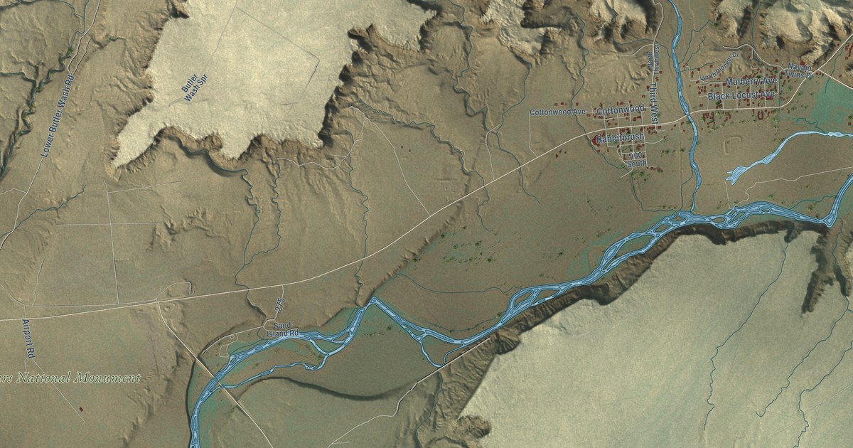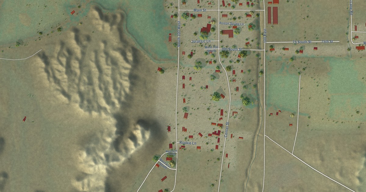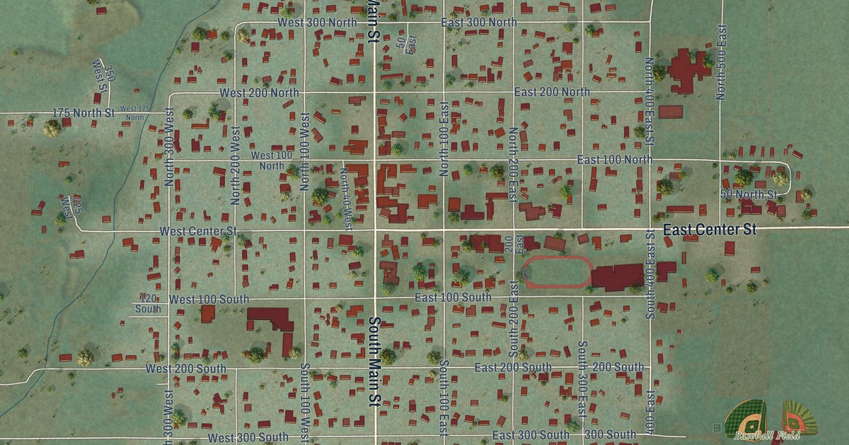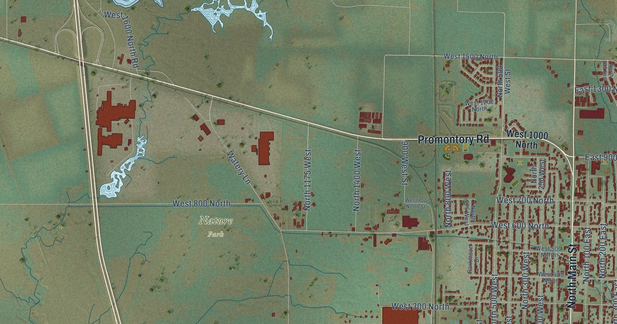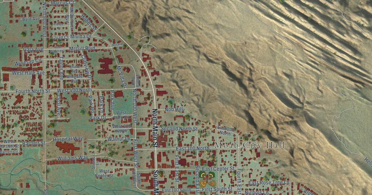
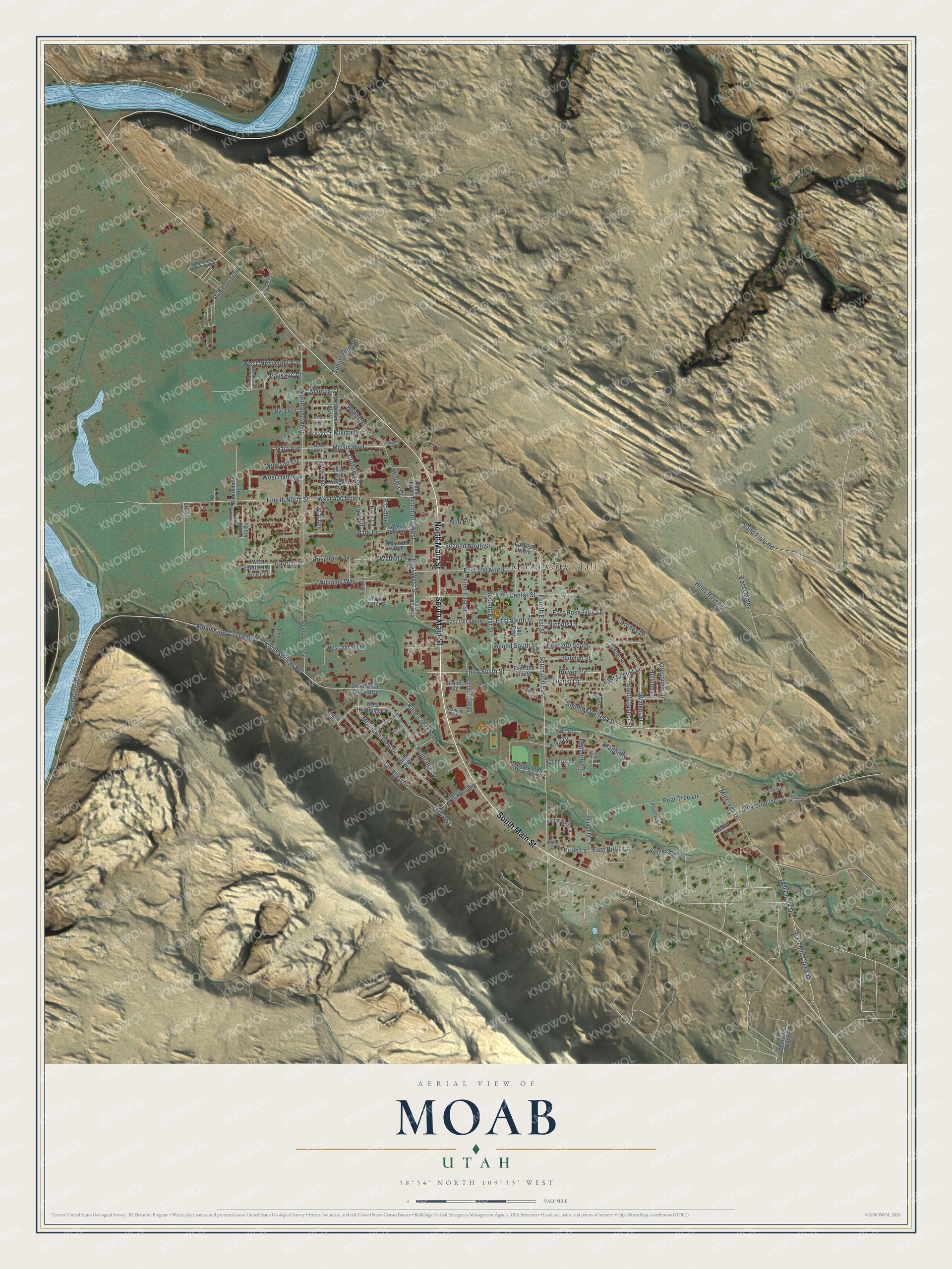
This beautifully detailed map of Moab, Utah was created in 2026 using aerial imagery combined with modern topographical, census, street and landmark data. It's a modern aerial view of Moab in Grand County, Utah, that combines modern data with a vintage aesthetic. The roads feature printed names, and if you look closely you can find your exact house accurately shown in its correct location.
Explore an aerial view of Moab, Utah
On this map you'll find Moab City Hall, North Main Street, South Main Street, North 100 West, Huntridge Drive, West Hale Avenue, Second South Street, Walker Street, McGill Boulevard, East 200 South, Fourth East Street, South 400 East, and more. Each red shape is a building, so zoom in on the preview and look for yours.
Here is a piece of Moab history, in the words of the record. The Utah Division of State History puts it this way: "Construction of the Denver and Rio Grande Western Railroad between Denver and Salt Lake City brought the railroad to within thirty-five miles of Moab at Thompson Springs and provided a much-desired railroad connection."
Moab is a city in Grand County. The Census Bureau counted 5,366 people here in 2020.
Take a closer look at the Moab map
Names on this map
These names are printed on this map.
Places: Moab City Hall.
Streets and roads: North Main Street, South Main Street, North 100 West, Huntridge Drive, West Hale Avenue, Second South Street, Walker Street, McGill Boulevard, East 200 South, Fourth East Street, South 400 East, Kane Springs Road.
More street names, A to Z
300 East, Antiquity Lane, Apple Lane, Arches Drive, Arrowhead Lane, Aspen Avenue, Bartlett Circle, Bartlett Street, Below the Rocks, Birch Avenue, Bittle Lane, Bonita Street, Bowen Circle, Byrd Avenue, Carlos Court, Chinle Avenue, Cliffview Drive, Cottonwood Lane, Crestview Drive, David Court, Doc Allen Drive, Dogwood Avenue, Dragonfly, Dream Drive, East 100 North, East 100 South, East 200 North, East 300 South, East Bittle Lane, East Center, East Center Street, East Locust Lane, East Mill Creek Drive, East Power House Lane, East Red Devil Drive South, East Rose Tree Lane, Emma Boulevard, First East Street, First South Street, First West Street, Fourth North Street, Gala Avenue, Grand Avenue, Hells Revenge, Hillside Drive, Hobbs Street, Hospital Way, Juan Court, Kane Creek Boulevard, Kane Spring Road, Kiva Drive, Locust Lane, Loveridge Drive, Marcus Court, McCormick Boulevard, McKay Place, Millcreek Drive, Mill Creek Drive, Minor Court, Mi Vida Drive, Mivida Drive, Moab Kane Creek Boulevard, Mountain View Drive, Mulberry Lane, Navajo Circle, Nichols Lane, Nob Hill, North 500 West, Opal Avenue, Palisade Drive, Park Avenue, Park Drive, Park Lane, Park Road, Peach Path, Pear Tree Lane, Peartree Lane, Portal Vis Lp, Powerhouse Lane, Pueblo Court, Rainbow Drive, Rasberry Lane, Riversands Drive, Riversands Road, Rosalie Court, Rubicon Trail, Sand Flats Road, Second East Street, Second North Street, Shields Lane, Slick Rock Campground Road, South 100 East, South 100 West, South 500 West, South Kane Creek Boulevard, South Mill Creek Drive, South Mulberry Lane, South Tusher Street, Stewart Lane, Sundial Street, Sunset Grill Drive, Taylor Avenue, Third South Street, Tina Lane, Tusher Street, Uranium Avenue, Wagner Avenue, Walnut Lane, West 200 North, West 200 South, West 400 North, West Bartlett Street, West Center Street, West Huntridge Drive, West McGill Boulevard, West Park Drive, West Westwood Avenue, Williams Way, Winesap Circle, Wingate Avenue.
Created by KNOWOL in 2026. The buildings are small red shapes, the roads carry their printed names, and shaded relief shows the shape of the land. The title panel reads "AERIAL VIEW OF MOAB UTAH" with 38°34' NORTH 109°33' WEST.
It suits a den, a classroom or a front hall, and it makes a gift for anyone with Moab roots. Open the preview and find the block you know. See sizes and frames for the Moab map.