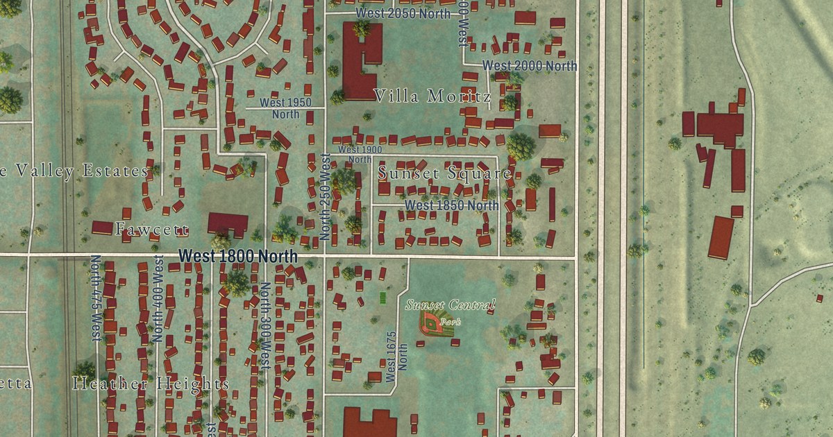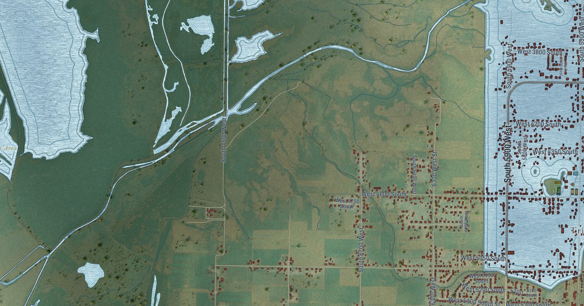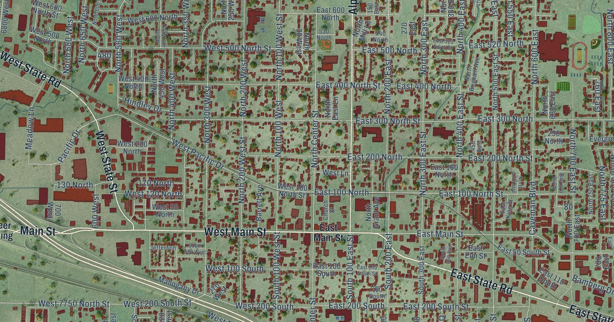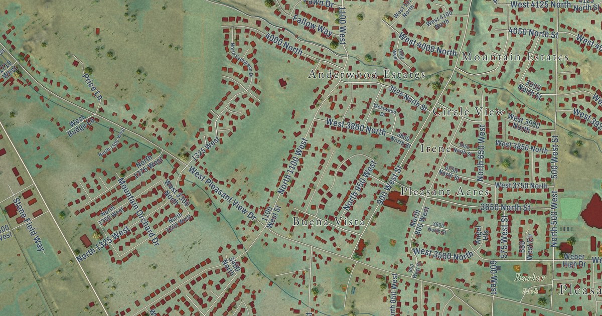
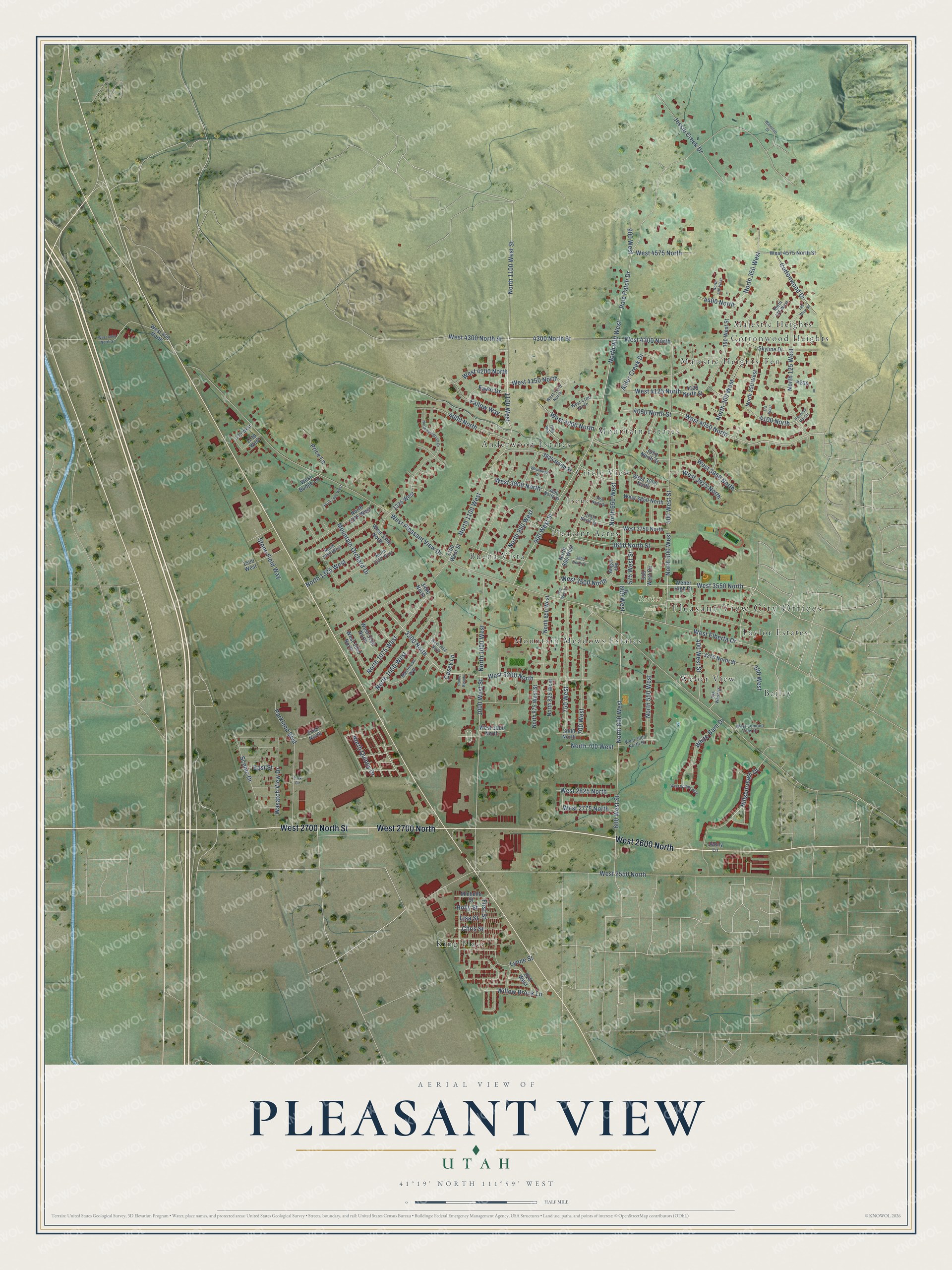
This beautifully detailed map of Pleasant View, Utah was created in 2026 using aerial imagery combined with modern topographical, census, street and landmark data. It's a modern aerial view of Pleasant View in Weber County, Utah, that combines modern data with a vintage aesthetic. The roads feature printed names, and if you look closely you can find your exact house accurately shown in its correct location.
Explore an aerial view of Pleasant View, Utah
On this map you'll find Pleasant View City Offices, Barker Park, Anderwood Estates, Bailey, Buena Vista, Circle View, Cottonwood Heights, Irene, King Place, Majestic Heights, Majestic Heights Ten, Mountain Estates, and more. Each red shape is a building, so zoom in on the preview and look for yours.
Pleasant View has a story worth telling. The OnlineUtah puts it this way: "Considered part of North Ogden for its first 30 years, Pleasant View was known during its early days by several names. These included West District, Hot Springs District, String Town or simply Out West."
Pleasant View is a city in Weber County. The Census Bureau counted 11,083 people here in 2020.
Take a closer look at the Pleasant View map
Names on this map
These names are printed on this map.
Places: Pleasant View City Offices, Barker Park, Anderwood Estates, Bailey, Buena Vista, Circle View, Cottonwood Heights, Irene, King Place, Majestic Heights, Majestic Heights Ten, Mountain Estates, Mountain Meadows Estates, Pleasant Acres, Taylor Estates and Weber View.
Streets and roads: West 2700 North, West 2600 North, West 2700 North Street, North 1100 West Street, West 3550 North, 1100 West, West 3500 North, West 4050 North, West 3200 North, 4050 North Street, 600 West, 3200 North.
More street names, A to Z
125 West Street, 175 West, 200 West, 325 West Street, 350 West Street, 400 West Street, 500 West Street, 550 West Circle, 575 West Street, 600 West Street, 700 West, 750 West, 800 West Street, 825 West, 900 West, 900 West Street, 1000 West Street, 1050 West, 1100 West Street, 1325 West, 1500 West, 1710 West, 1725 West, 2740 North, 3000 North, 3275 North Street, 3400 North, 3600 North Street, 3650 North Street, 3750 North Street, 3800 North Street, 3850 North Street, 3925 North Street, 3950 North Street, 4000 North, 4100 North, 4125 North Street, 4300 North Street, 4400 North, Alder Creek Drive, Angel Heights, Casey Lane, Chris Street, Cottonwood Drive, East Street, Fallow Way, Fawn Drive, First Street, Hillsborough Drive, Holly Street, Jenny Lane, Jessie Creek Drive, Lisa Street, Lynne Street, Macintosh Way, Michelle Street, Mountain Orchard Drive, North 125 West, North 175 West, North 250 West, North 300 West, North 350 West, North 400 West, North 500 West, North 550 West, North 600 West, North 650 West, North 700 West, North 800 West, North 825 West, North 850 West, North 875 West Street, North 900 West, North 950 West, North 1000 West, North 1050 West, North 1075 West, North 1100 West, North 1250 West, North 1325 West, North 1350 West, North 1375 West, North 1500 West, North Evergreen Drive, North Quincy Drive, Park Circle, Parkland Boulevard, Pleasant Hill Circle, Pole Patch Drive, Price Lane, Rome Beauty, Scenic Drive, Skyline Drive, Stone Field Way, Wasatch View Drive, Waterfall Drive, Weber High Drive, West 400 North, West 1075 North, West 2550 North, West 2775 North, West 2825 North, West 3000 North, West 3000 North Street, West 3050 North, West 3100 North, West 3250 North, West 3300 North, West 3750 North, West 3800 North, West 3850 North, West 3900 North, West 3925 North, West 3950 North, West 4000 North, West 4000 North Street, West 4100 North, West 4125 North, West 4150 North, West 4200 North, West 4300 North, West 4300 North Street, West 4575 North, West 4575 North Street, West Budge Lane, West Elberta Drive, West Lomond View Drive, West Pleasant View Drive, West Willow Way, Westwood Drive, White Barn Drive, Willow Brook Lane.
Created by KNOWOL in 2026. The buildings are small red shapes, the roads carry their printed names, and shaded relief shows the shape of the land. The title panel reads "AERIAL VIEW OF PLEASANT VIEW UTAH" with 41°19' NORTH 111°59' WEST.
It looks right in a kitchen, an office or a den, and it's a gift for anyone who grew up in Pleasant View or moved away. Open the preview and find your street. See sizes and frames for the Pleasant View map.