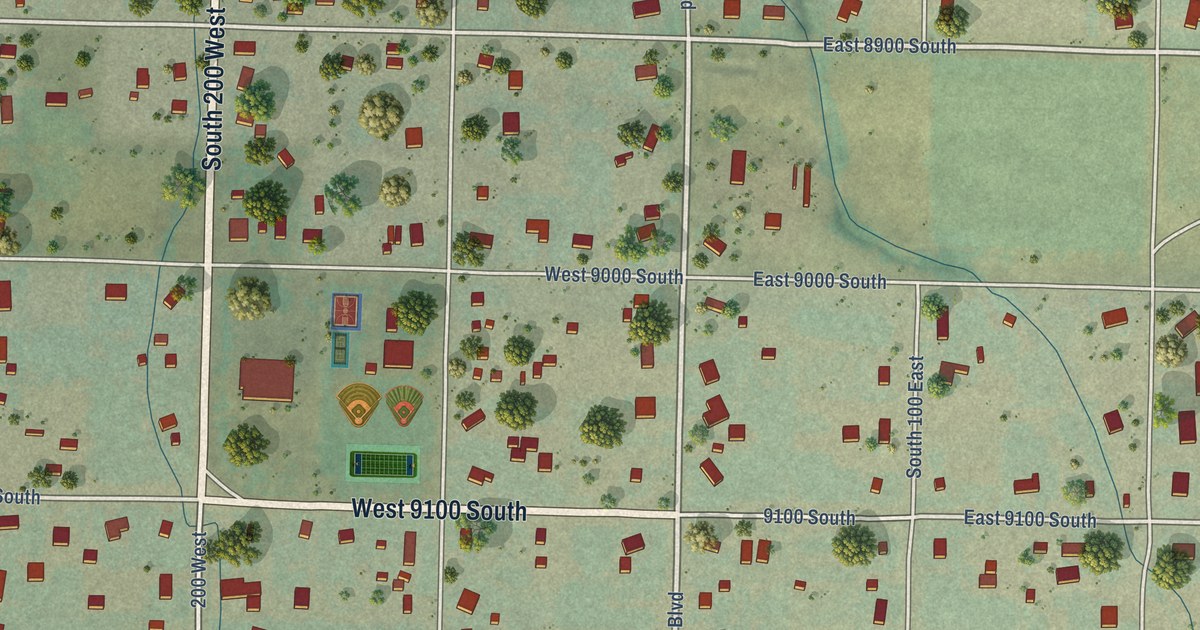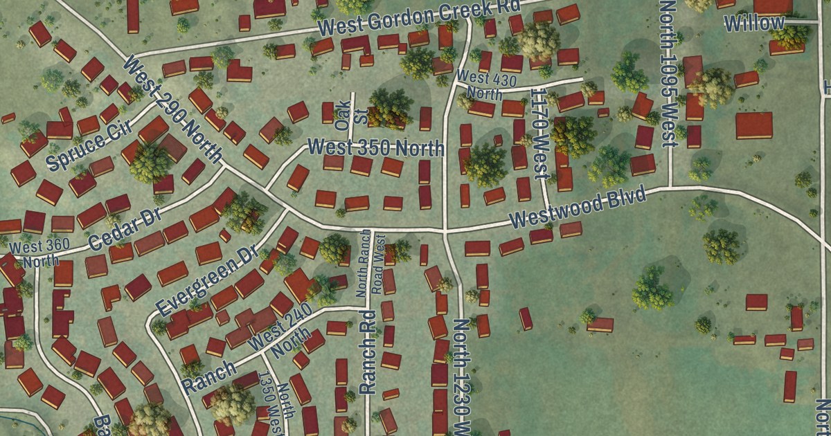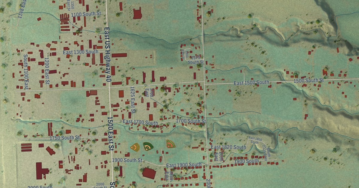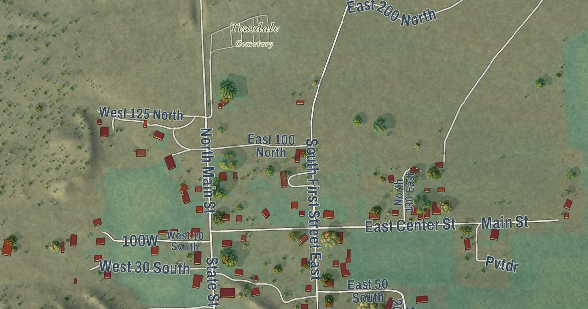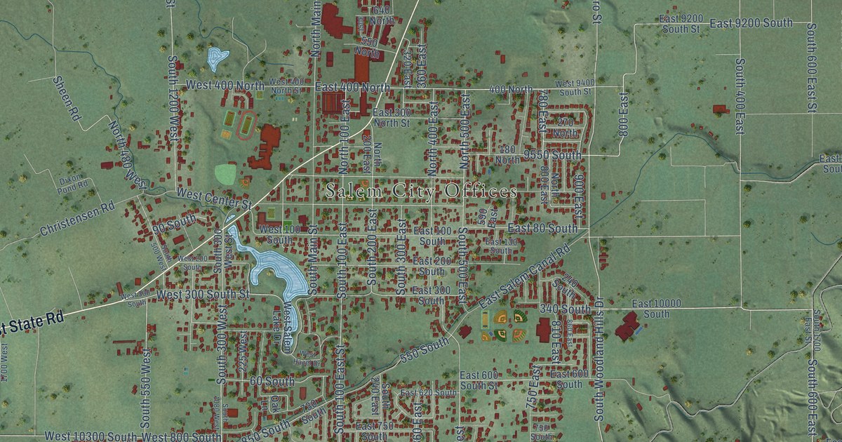
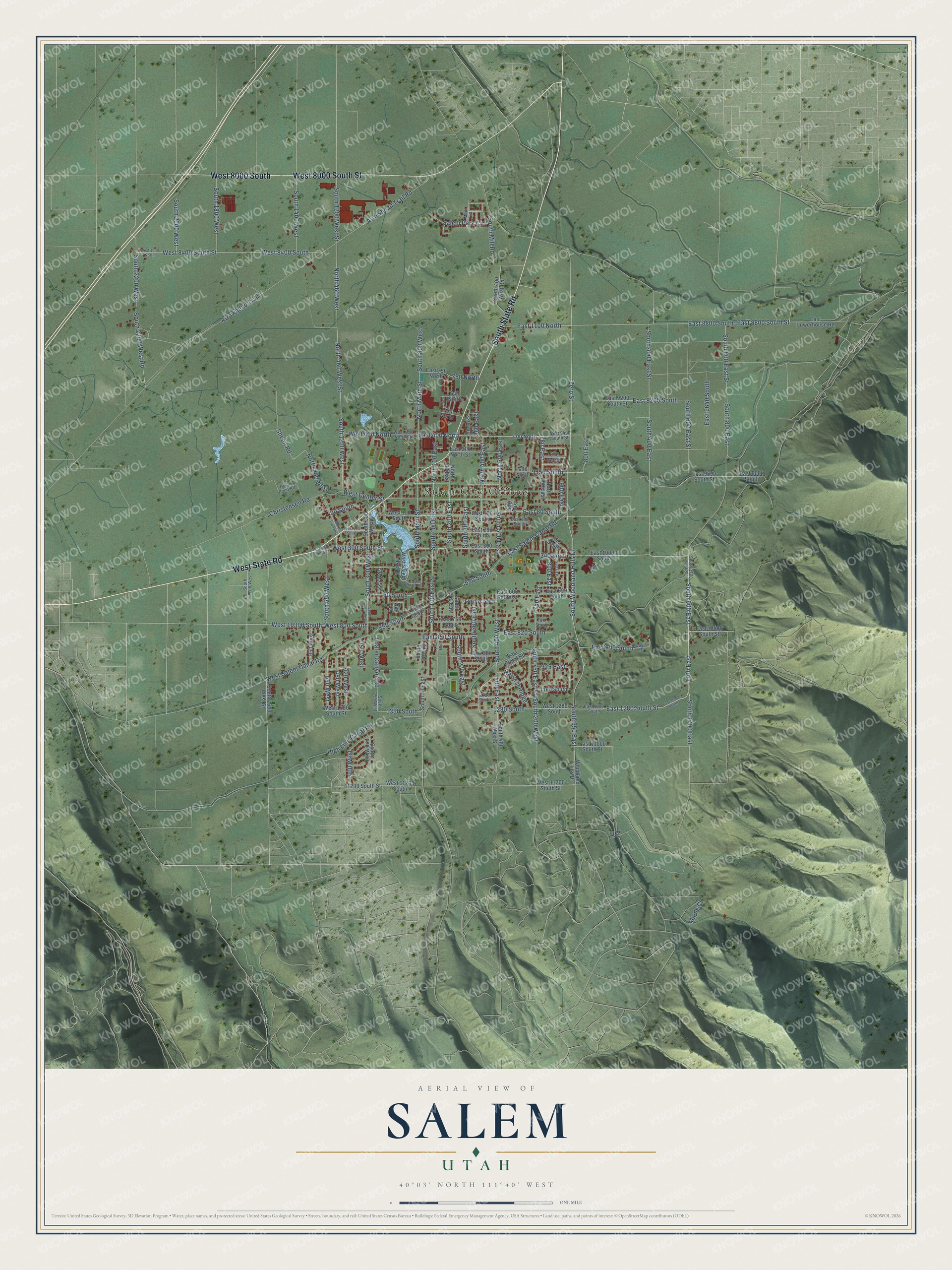
This beautifully detailed map of Salem, Utah was created in 2026 using aerial imagery combined with modern topographical, census, street and landmark data. It’s a one-of-a-kind view of Salem that combines accurate data with a vintage aesthetic. The map shows every building in its true location, many of the roads carry their names, and the shaded topographic relief shows the shape of the land.
Explore an aerial view of Salem, Utah
On the map you’ll find Salem City Offices, West 8000 South, South 600 East, 1700 East, 800 East, 780 East, East 9200 South, and North 500 East, along with West State Road, West 8000 South Street, South State Road, South Main Street, and more. If you look closely you can even find your house accurately drawn in its correct location. Zoom in on the preview to look for yours.
Did you know this piece of Salem, Utah history?
From the Utah History Encyclopedia: "The completion of the Salem Canal in 1869 brought irrigation water from the Spanish Fork River to Salem. Lyman Curtis, who had experience with irrigation in Santa Clara, directed the project to completion."
Take a closer look at the Salem map
Street and place names on the Salem, Utah map
These names are printed on the map of Salem, Utah.
Places: Salem City Offices.
Streets and roads: West State Road, West 8000 South Street, West 8000 South, South State Road, South 600 East, 1700 East, 800 East, 780 East, South Main Street, East 9200 South, North 500 East, East 1280 South Street.
More street names, A to Z
60 South, 90 South, 130 East, 180 North, 225 West, 240 South, 270 North, 320 East, 340 South, 350 West, 360 East, 400 East, 400 North, 400 West, 420 West, 480 West, 550 North, 550 South, 550 West, 590 East, 640 North, 650 West, 730 South, 750 East, 750 North, 750 South, 810 East, 850 South, 860 East, 900 East, 925 East, 1160 South, 1220 South, 1280 South, 1350 South, 9550 South, 11200 South Street, Arrowhead Trail, Arrowhead Trail Road, Christensen Road, Davis Drive, Dixon Pond Road, East 80 South, East 100 South, East 130 South, East 200 South, East 300 North Street, East 300 South, East 400 North, East 600 South, East 600 South Street, East 620 South, East 750 North, East 750 South, East 820 South, East 850 South, East 900 South, East 960 South, East 1100 North, East 1280 South, East 8800 South, East 8800 South Street, East 9200 South Street, East 9600 South, East 9600 South Street, East 9640 South, East 10000 South, East 10400 South Street, East 10800 South, East 11000 South Street, East Canal Road, East Powerhouse Road, East Salem Canal Road, Fir Drive, Harvest Ridge, High Line Canal Road, Loafer Canyon Road, Main Street, Maple Court, North 100 East, North 200 East, North 400 East, North 460 West, North 460 West Street, North 480 West, North 800 East, North Main Street, Oak Lane, Salem Park Circle, Sheen Road, South 30 East, South 50 East, South 100 East, South 100 East Street, South 200 East, South 200 West, South 240 East, South 250 West, South 270 East, South 270 West, South 300 East, South 300 West, South 300 West Street, South 360 East, South 400 East, South 400 East Street, South 400 West, South 400 West Road, South 400 West Street, South 500 East, South 500 West, South 550 West, South 600 East Street, South 750 East Street, South 800 East, South 800 East Street, South 800 West, South 950 East, South 1080 West, South 1200 West, South 1200 West Street, South 1400 West, South 1600 West Street, South 1700 East, South 1700 East Street, South 1700 West, South 1800 West, South 2000 West, South 2200 West, South 2200 West Road, South Mill Road, South Woodland Hills Drive, West 100 South, West 200 South, West 300 South, West 300 South Street, West 400 North, West 400 North Street, West 800 South, West 1280 South, West 1320 South Street, West 1500 North, West 8400 South, West 8400 South Street, West 9400 South Street, West 10300 South, West 11200 South, West 11200 South Street, West Center Street, West Hazel Drive, West Salem Canal Road, West Salem Lake Drive, Woodland Hills Drive, Zero Street.
See the Salem, Utah map on a wall
The Salem map as an 18 x 24 inch print in a black frame.

This beautifully detailed map of Salem makes an attractive addition to your office, library, or den, and it can even be used to teach children the geography and history of the area. It also makes a great gift for someone who left Salem and still calls it home. When you’re done exploring, click here to get your copy of the Salem map.