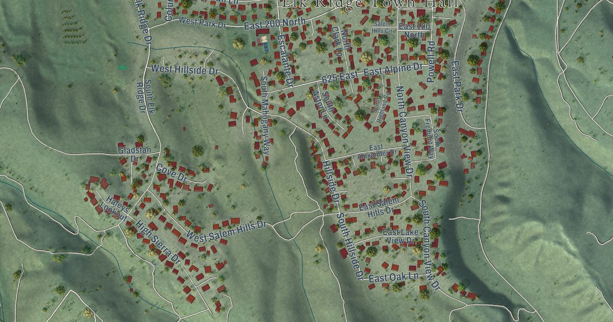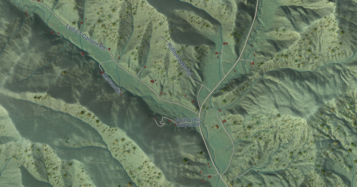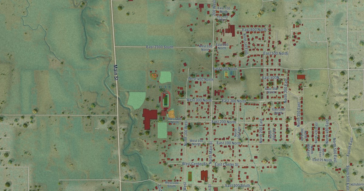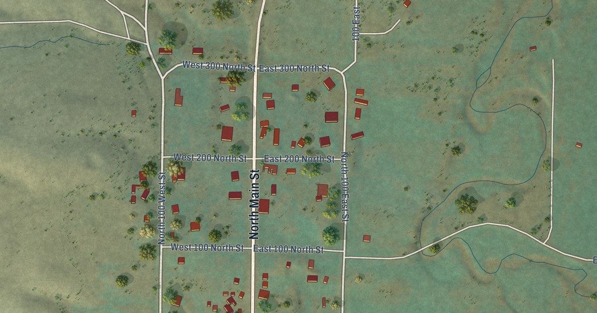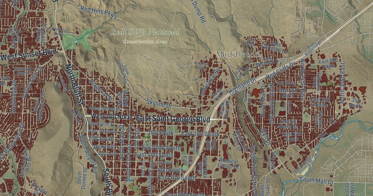
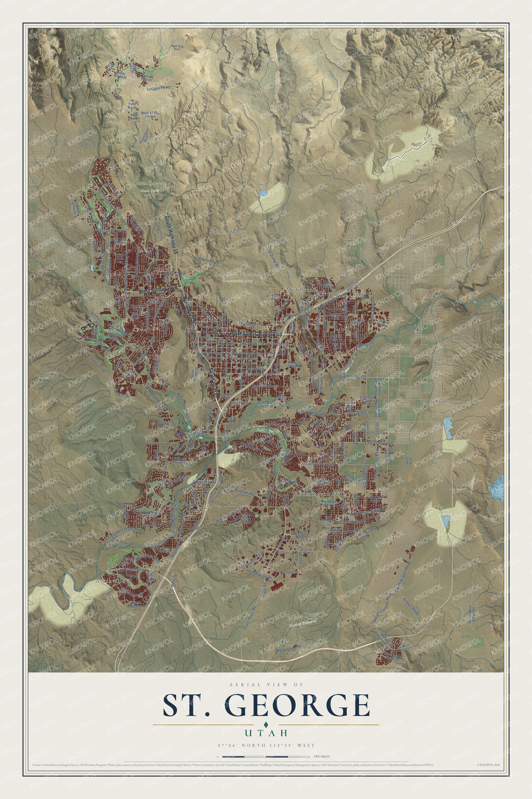
This beautifully detailed map of St. George, Utah was created in 2026 using aerial imagery combined with modern topographical, census, street and landmark data. It's a modern aerial view of St. George in Washington County, Utah, that combines modern data with a vintage aesthetic. The roads feature printed names, and if you look closely you can find your exact house accurately shown in its correct location.
Explore an aerial view of St. George, Utah
On this map you'll find Atkinville, Bloomington Hills, Middleton, Saint George, Red Cliffs National Conservation Area, Snow Canyon State Park, White Dome Nature Preserve, East Saint George Boulevard, South Bluff Street, North Bluff Street, South Highway 18, West Sunset Boulevard, and more. Each red shape is a building, so zoom in on the preview and look for yours.
St. George has a story worth telling. The Utah Division of State History puts it this way: "The first recorded Euro-Americans to visit the area were the Dominguez-Escalante Party in 1776; they were followed by fur trappers, including Jedediah Smith, and still later by government survey parties."
St. George is a city in Washington County. The Census Bureau counted 95,342 people here in 2020.
Take a closer look at the St. George map
Names on this map
These names are printed on this map.
Places: Atkinville, Bloomington Hills, Middleton, Saint George, Red Cliffs National Conservation Area, Snow Canyon State Park and White Dome Nature Preserve.
Streets and roads: East Saint George Boulevard, South Bluff Street, North Bluff Street, South Highway 18, West Sunset Boulevard, Skyline Drive, Red Cliffs Drive, Old Dump Road, South Mall Drive, East 2000 South, Mall Drive, River Road.
More street names, A to Z
60 East Street, 100 East, 100 South, 120 East, 200 East, 200 South, 300 East, 300 South, 350 North, 360 North, 400 South, 500 South, 575 North, 600 South, 900 East, 1150 North, 1200 East, 1525 North, 1630 East Street, 2100 East Street, 2200 East Street, 2250 South Street, 2495 West, 2500 East, 2630 South, 2760 South, 2780 East Street, 2900 South, 3210 East, 3870 East, 4200 North, 4400 North, Airport Parkway, Airport Road, Anasazi, Angel Arch Drive, Astragalus Drive, Auburn Drive, Az Strip Road, Balboa Way, Barcelona Drive, Beech Street, Black Ridge Drive, Blake Circle, Bloomington Hills Drive, Bluegrass Way, Boulder Springs Drive, Brigham Road, Bundy Lane, Canyon Tree Drive, Chaco Trail, Cobalt Drive, Commerce Drive, Count Fleet Road, Country Road, Cresole Drive, Curly Hollow Drive, Del Mar Drive, Desert Canyon Parkway, Desert Canyons Parkway, Desert Hills Drive, Diagonal Street, Dixie Drive, East 40 North Street, East 100 South, East 140 South, East 300 South, East 350 North, East 400 South, East 450 North, East 700 South, East 770 North, East 880 North, East 900 South, East 1140 South, East 1160 South, East 1450 South, East 1450 South Street, East 2450 South, East 3100 South, East 3580 South, East 3670 South, East 3850 South, East 4150 South, East Brigham Road, East Church Rocks Drive, East Colorado Drive, East Crimson Ridge Drive, East Desert Canyons Parkway, East Dinosaur Crossing Drive, East Fort Pierce Drive, East Livia Drive, East Middleton Drive, East Pasture Drive, East Riverside Drive, East Vermilion Avenue, Electric Outstation Road, Enterprise Drive, Entrada Trail, Frontage Road, Granite Way, Hidden Valley Drive, Highland Drive, Hillrise Drive, Hill Road, Hilton Drive, Horesman Park Drive, Industrial Road, Jade Drive, Lava Flow Drive, Lava Point Drive, Ledges Parkway, Lee Lane, Little Valley Road, Long Sky Drive, Man of War Road, Medical Center Drive, Mulberry, Navajo Drive, North 1100 West, North 1400 West, North 1650 West, North 1680 East, North 2000 East, North 2100 West, North 2400 West, North 2450 East, North 2500 West, North 2720 East, North 2750 East, North 3050 East, North Cascade Canyon Drive, North Dixie Downs Road, North Dixie Drive, North Donlee Drive, North Main Street, North Mall Drive, North Park Street, Northridge Avenue, North River Road, North Snow Canyon Parkway, Northstar Drive, North Tacheene Drive, North Tuweap Drive, Painted Sky Drive, Paiute Road, Palo Verde Drive, Pinnacle Drive, Pioneer Road, Plantation Drive, Plantations Drive, Point Drive, Province Way, Rainier Drive, Red Hills Parkway, Redwood Tree Street, Rio Virgin Drive, Rivers Edge Lane, Saint James Lane, Sherman Road, Silver Cloud Drive, Snow Canyon Parkway, Sonoran Drive, South 100 East, South 270 East, South 400 East, South 1000 East, South 1100 East, South 1200 West, South 1400 East, South 1990 East, South 2350 East, South 2460 East, South 2580 East Street, South 2670 East, South 2800 East, South 2880 East, South 3000 East, South 3000 East Street, South 3210 East, South 3210 Street East, South 3210 Street West, South 3430 East, South 3770, South Airport Parkway, South Airport Road, South Bentley Road, South Dixie Drive, South Donlee Drive, South East Ridge Drive, South Five Sisters Drive, Southgate Hills Drive, South High Park Drive, South Indian Hills Drive, South Legacy Drive, South Main Street, South River Road, South Riverside Drive, South Valley View Drive, Springs Drive, Stonebridge Drive, Stone Cliff Drive, Stone Mountain Drive, Sugar Leo Road, Sunland Drive, Sun River Parkway, Sunstar Drive, Swaps Drive, Tabernacle Street, Tonaquint Drive, Treatment Plant Road, Twin Lakes Drive, Valley View Drive, Venture Drive, View Point Drive, Washington Fields Road, Wesley Powell Drive, West 100 North, West 100 South, West 200 North, West 540 North, West 670 North, West 740 South, West 1250 North, West 1800 North, West 2000 North, West 3700 North, West 4230 North, West 5550 North, West Baneberry Drive, West Bloomington Drive South, West Desert Sparrow Drive, West Grapevine Drive, West Indian Hills Drive, West Middleton Drive, Westridge Drive, West Sir Monte Drive, West Sunbrook Drive, White Dome Drive, Wide River Drive, Willow Drive, Winchester Hills Drive.
Created by KNOWOL in 2026. The buildings are small red shapes, the roads carry their printed names, and shaded relief shows the shape of the land. The title panel reads "AERIAL VIEW OF ST. GEORGE UTAH" with 37°06' NORTH 113°35' WEST.
It looks right in a kitchen, an office or a den, and it's a gift for anyone who grew up in St. George or moved away. Open the preview and find your street. See sizes and frames for the St. George map.