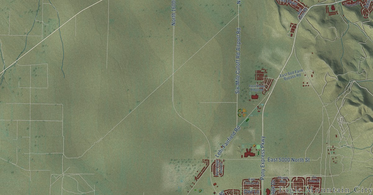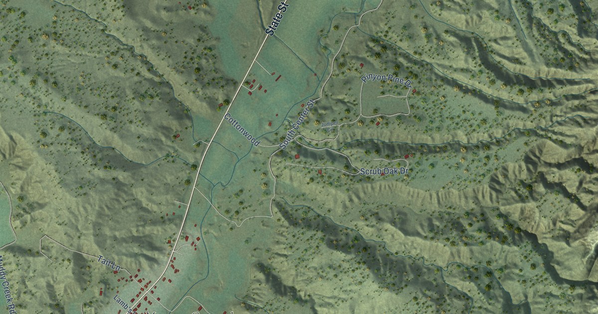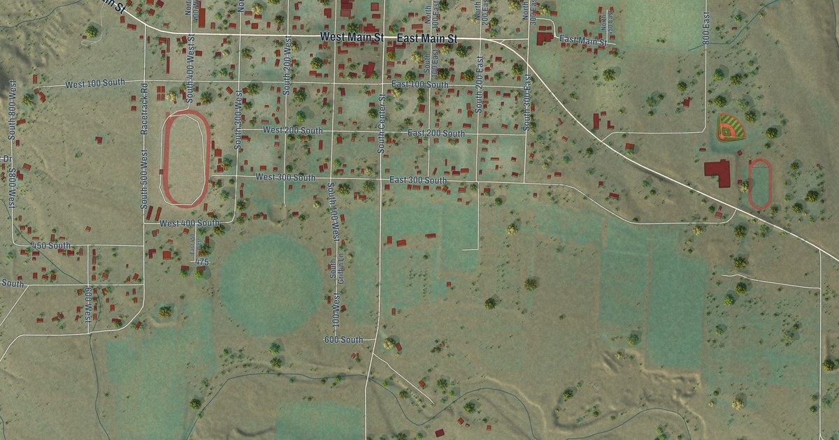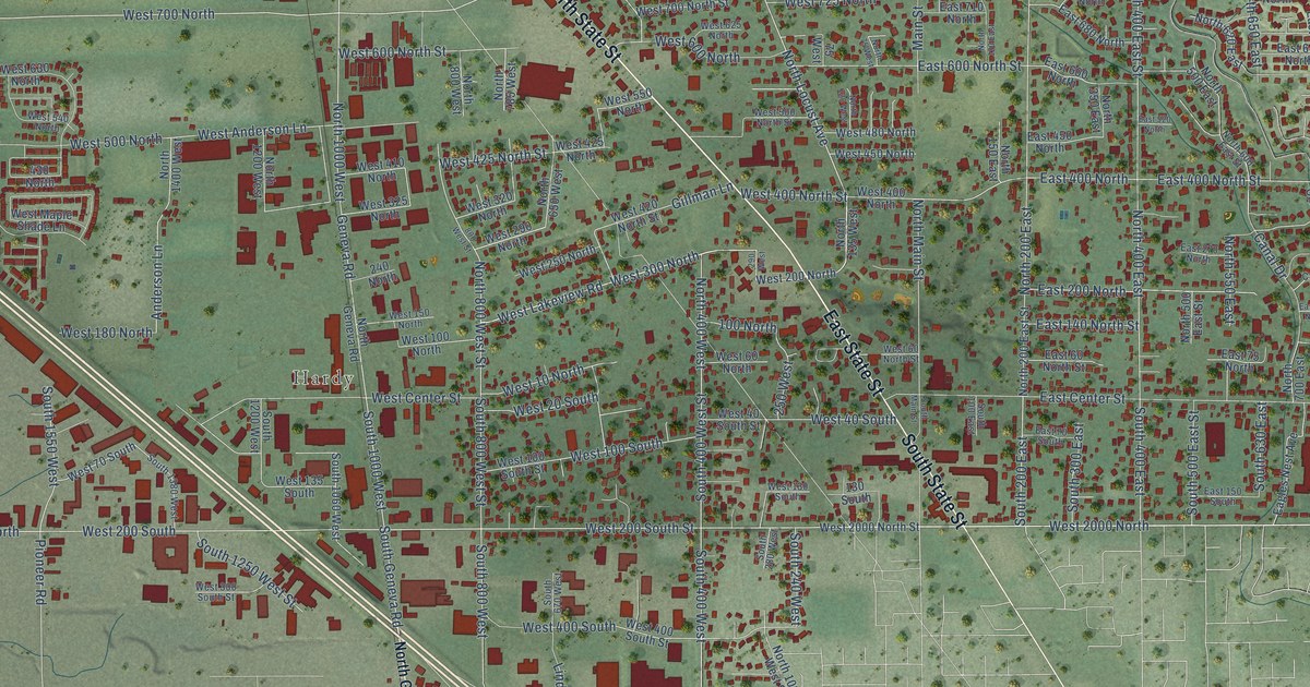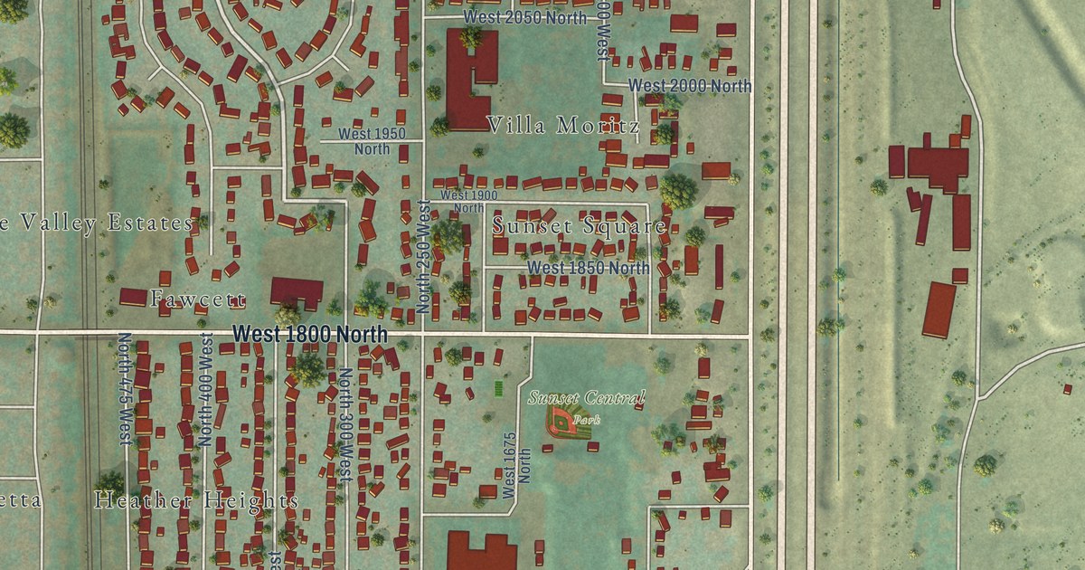
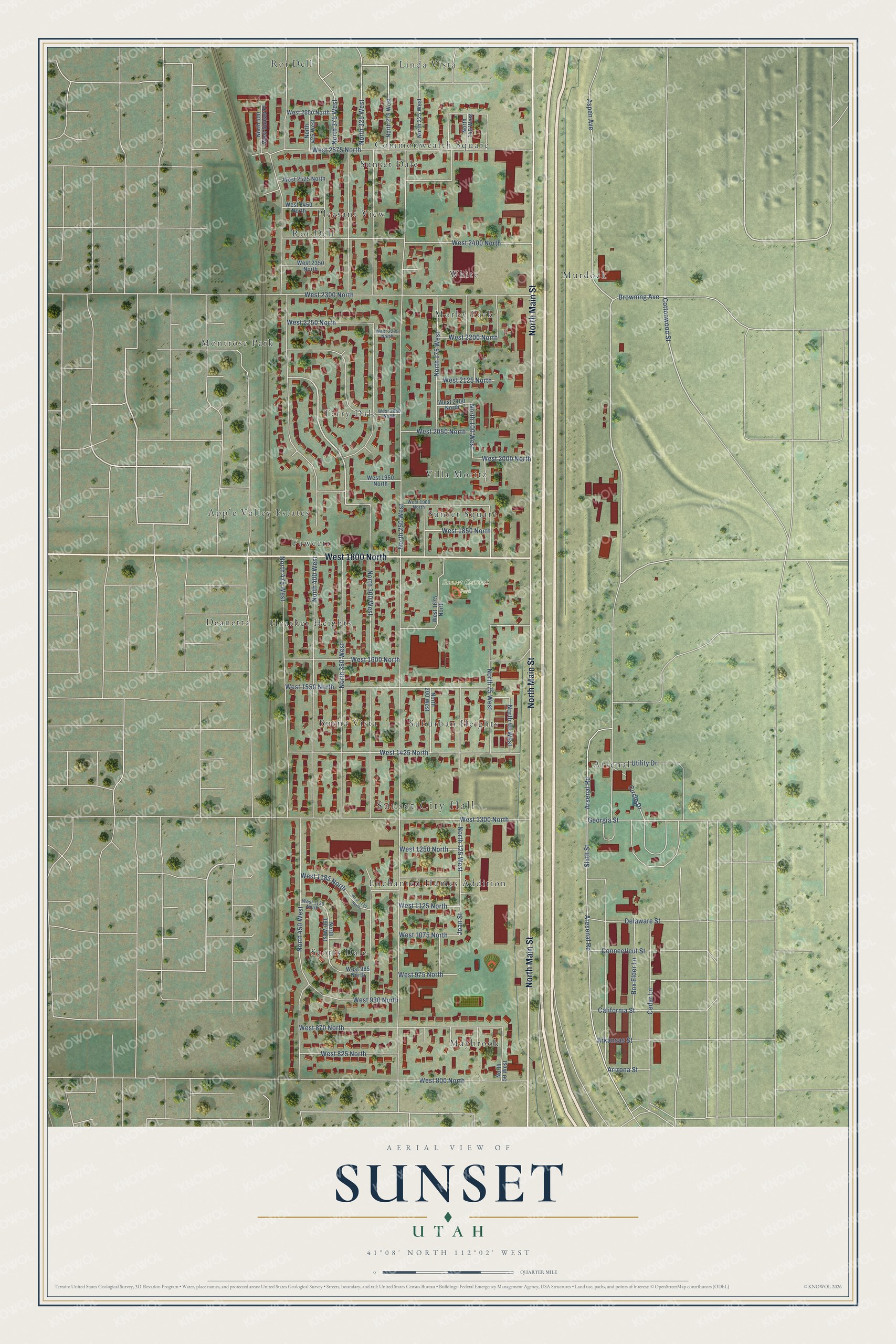
This beautifully detailed map of Sunset, Utah was created in 2026 using aerial imagery combined with modern topographical, census, street and landmark data. It's a modern aerial view of Sunset in Davis County, Utah, that combines modern data with a vintage aesthetic. The roads feature printed names, and if you look closely you can find your exact house accurately shown in its correct location.
Explore an aerial view of Sunset, Utah
On this map you'll find Sunset City Hall, Sunset Central Park, Apple Valley Estates, Arsenal, Buena Vista, Commonwealth Square, Deanetta, Enchanted Homes Addition, Fawcett, Heather Heights, Linda Vista, Maybrook, and more. Each red shape is a building, so zoom in on the preview and look for yours.
Every town has a first chapter, and Sunset is no exception. The Utah Division of State History puts it this way: "The munitions were housed in large hollow tile magazines built on a 1,200-acre site east of Sunset; property formerly used as family farms."
Sunset is a city in Davis County. The Census Bureau counted 5,475 people here in 2020.
Take a closer look at the Sunset map
Names on this map
These names are printed on this map.
Places: Sunset City Hall, Sunset Central Park, Apple Valley Estates, Arsenal, Buena Vista, Commonwealth Square, Deanetta, Enchanted Homes Addition, Fawcett, Heather Heights, Linda Vista, Maybrook, Montrose Park, Morby Park, Murdock, Pleasant View, Roi Dell, Roi-Dell, Scotts Dale, Suburban Heights, Sunset Dale, Sunset Square, Terry Dale, Villa Moritz and White.
Streets and roads: North Main Street, West 1800 North, North 350 West, North 400 West, Aspen Avenue, Cottonwood Street, Aresenal Road, North 250 West, North 300 West, North 450 West, North 475 West, Arsenal Road.
More street names, A to Z
Arizona Street, Arkansas Street, Box Elder Lane, Browning Avenue, California Street, Cedar Lane, Circle Drive, Connecticut Street, Delaware Street, Georgia Street, Joan Street, North 40 West, North 50 West, North 75 West, North 100 West, North 125 West, North 140 West, North 175 West, North 200 West, North 225 West, North 275 West, North 325 West, North 375 West, North 390 West, North 425 West, North 500 West Sunset Place, Sixth Street, Utility Drive, West 800 North, West 825 North, West 870 North, West 930 North, West 975 North, West 985 North, West 1075 North, West 1115 North, West 1125 North, West 1130 North, West 1185 North, West 1250 North, West 1300 North, West 1425 North, West 1550 North, West 1600 North, West 1675 North, West 1850 North, West 1900 North, West 1950 North, West 2000 North, West 2050 North, West 2060 North, West 2100 North, West 2125 North, West 2200 North, West 2225 North, West 2250 North, West 2300 North, West 2350 North, West 2400 North, West 2450 North, West 2525 North, West 2575 North, West 2650 North.
Created by KNOWOL in 2026. The buildings are small red shapes, the roads carry their printed names, and shaded relief shows the shape of the land. The title panel reads "AERIAL VIEW OF SUNSET UTAH" with 41°08' NORTH 112°02' WEST.
Hang it in the hallway, the office or the cabin, or give it to someone who left Sunset and still calls it home. Open the preview and look for a street you know. See sizes and frames for the Sunset map.