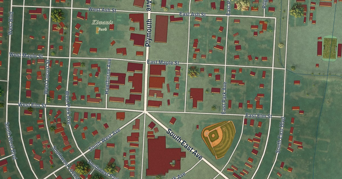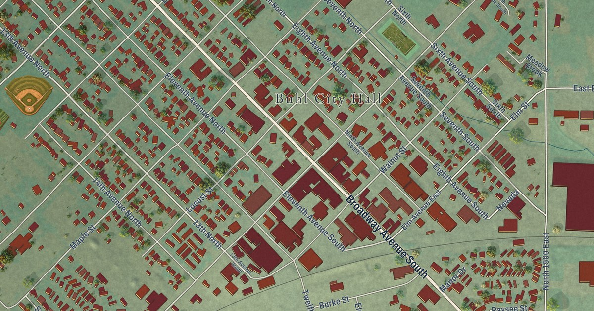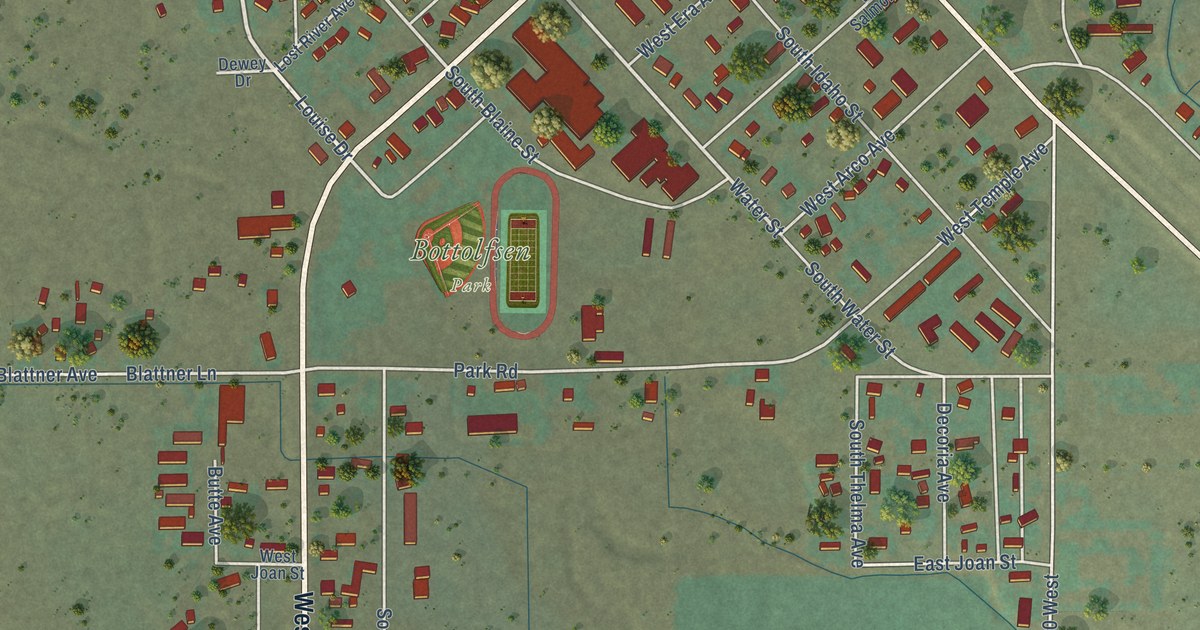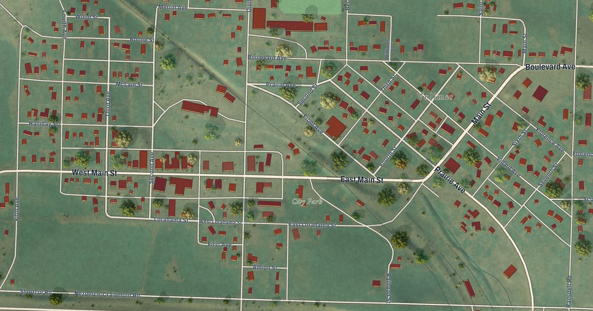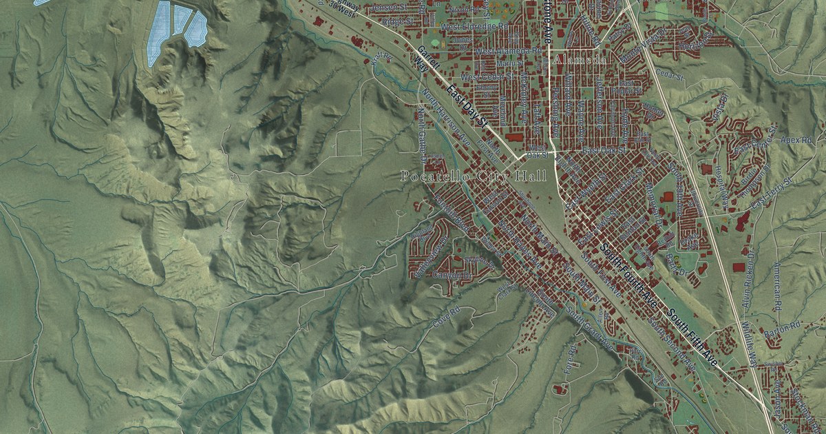
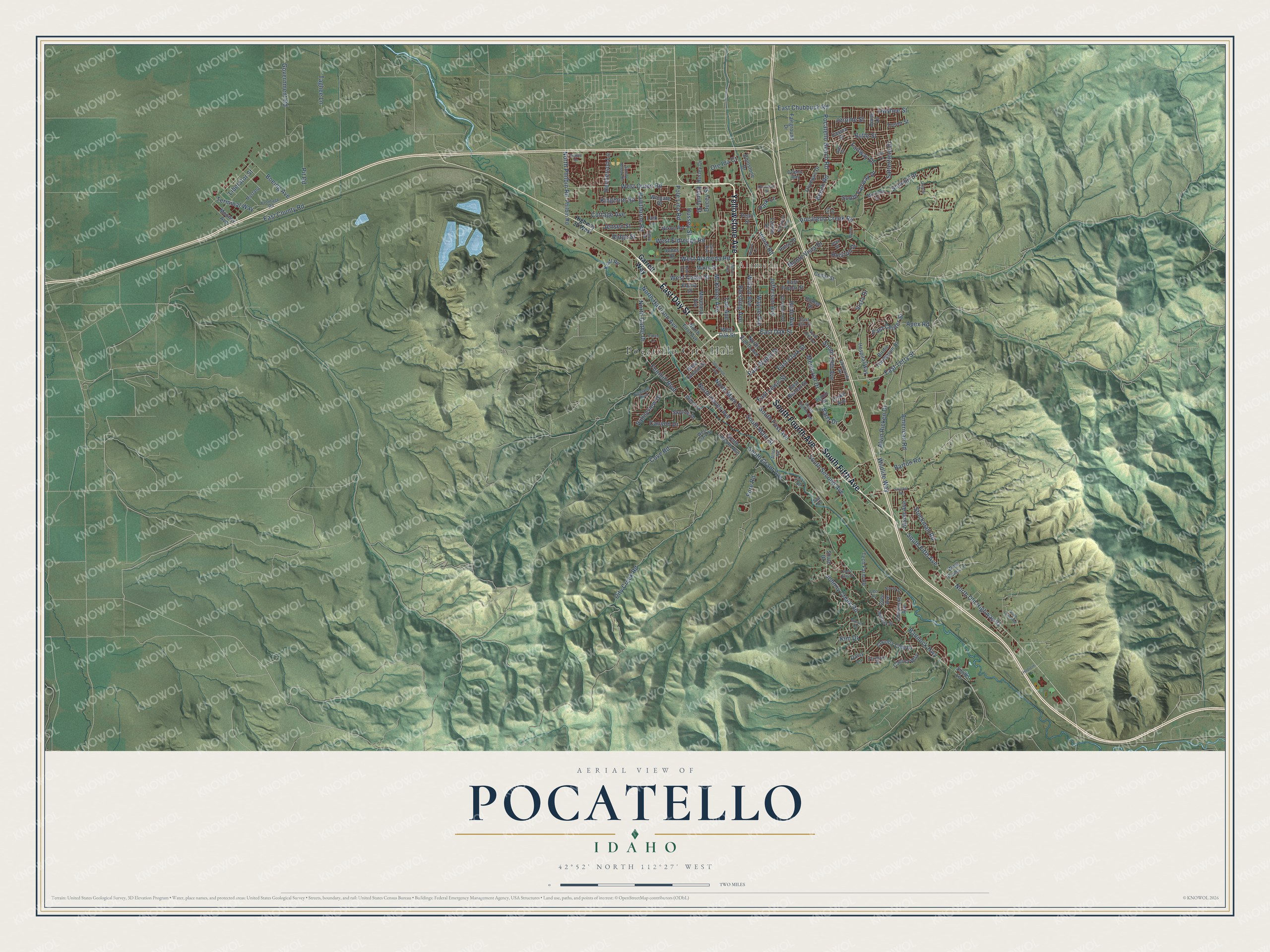
This beautifully detailed map of Pocatello, Idaho was created in 2026 using aerial imagery combined with modern topographical, census, street and landmark data. It's a modern aerial view of Pocatello in Bannock County, Idaho, that combines modern data with a vintage aesthetic. The roads feature printed names, and if you look closely you can find your exact house accurately shown in its correct location.
Explore an aerial view of Pocatello, Idaho
On this map you'll find Pocatello City Hall, Alameda, South Fifth Avenue, East Day Street, Yellowstone Avenue, South Fourth Avenue, Hiline Road, East Oak Street, North Old Highway 91, Pocatello Creek Road, McKinley Avenue, East Wyeth Street, and more. Each red shape is a building, so zoom in on the preview and look for yours.
Every town has a first chapter, and Pocatello is no exception. The Internet Archive puts it this way: "In 1891 some very rich
galena was discovered about two miles
east of Pocatello, and this created a
veritable stampede of miners who be-
gan digging vigorously."
Pocatello is a city in Bannock County. The Census Bureau counted 56,320 people here in 2020.
Take a closer look at the Pocatello map
Names on this map
These names are printed on this map.
Places: Pocatello City Hall and Alameda.
Streets and roads: South Fifth Avenue, East Day Street, Yellowstone Avenue, South Fourth Avenue, Hiline Road, East Oak Street, North Old Highway 91, Pocatello Creek Road, McKinley Avenue, East Wyeth Street, Hyde Avenue, East Terry Street.
More street names, A to Z
Ada Street, Allen Road, Alvin Ricken Drive, American Road, Apex Road, Aspen Lane, Bannock Highway, Barton Road, Bartz Drive, Bench Road, Birdie Thompson Drive, Blandy Street, Boeing Avenue, Booth Drive, Butte Street, Cahina Way, Canyon Drive, Cassia Street, Cedar Hills Drive, Cedar Street, Cheyenne Avenue, City Creek Road, Cottage Avenue, Country Club Drive, Cove Road, Cree Avenue, Dahl Avenue, Daisy Lane, Daybreak Drive, Delphic Way, Diane Lane, Dolostone Drive, Drake Avenue, Ducey Street, East Benton Street, East Center Street, East Chubbuck Road, East Clark Street, East County Road, East Elm Street, East Lewis Street, East Poplar Street, Ebony Street, El Rancho Boulevard, Fairground Drive, Fairmont Avenue, Fairway Drive, Foothill Boulevard, Fore Road, Foxmore Street, Frontage Road, Garrett Way, Government Road, Granite Drive, Gray Avenue, Hawthorne Road, Henderson Lane, Highland Boulevard, Highway 30 West, Hildreth Drive, Homer Drive, Horizon Drive, Hospital Way, Hurley Drive, Hussey Street, Iris Street, Jason Avenue, Jean Street, Jefferson Avenue, Jensen Street, Jerome Street, Johnny Creek Road, Jones Drive, Kim Drive, Kinghorn Road, Kraft Road, Lark Lane, Lavine Drive, Leo Lane, Liberator Street, Lois Lane, Marlu Street, Memorial Drive, Michelle Street, Mohawk Street, Monte Vista Drive, Mooney Avenue, Moreland Avenue, Mustang, Navajo Street, Nixon Road, North 18th Avenue, North Eighth Avenue, North First Avenue, North Gathe Drive, North Harrison Avenue, North Hayes Avenue, North Lower Road, North Main Street, North Philbin Road, Olympus Drive, Ore Ida Court, Owyhee Street, Park Lane, Parr Road, Patsy Drive, Pearl Street, Pershing Avenue, Philbin Road, Pit Road, Pocatello Bench Road, Pole Line Road, Redhill Road, Ridge Street, Satterfield Drive, Shale Drive, Shoshone Avenue, Skyline Drive, Smile Lane, South 19th Avenue, South Eighth Avenue, South Fairway Drive, South First Avenue, South Grant Avenue, South Lincoln Avenue, South Main Street, South Second Avenue, Stockman Road, Sue Road, Summit Drive, Sunny Brook Drive, Sunset Road, Swisher Road, Taft Avenue, Taghee Lane, Tech Farm Road, Tempe Drive, Terminal Way, Trevor Street, University Drive, Valley Road, Valleyview Drive, Vista Drive, Wayne Avenue, West Alameda Road, West Carson Street, West Cedar Street, West Clark Street, West Eldredge Road, West Oak Street, West Puma Lane, West Quinn Road, Wildlife Way, Willard Avenue, Willow Lane, Willow Street, Wilson Avenue, Wingate Drive.
Created by KNOWOL in 2026. The buildings are small red shapes, the roads carry their printed names, and shaded relief shows the shape of the land. The title panel reads "AERIAL VIEW OF POCATELLO IDAHO" with 42°52' NORTH 112°27' WEST.
Hang it in the hallway, the office or the cabin, or give it to someone who left Pocatello and still calls it home. Open the preview and look for a street you know. See sizes and frames for the Pocatello map.