


Idaho Town Maps A to Z
All 279 town maps, from Aberdeen to Yellow Pine. Each one opens its own page with the whole map.
A
B
C
D
E
F
G
H
I
J
K
L
M
N
O
P
R
S
T
U
V
W
Y
Don’t see your town? Ask us to draw it.
About Idaho
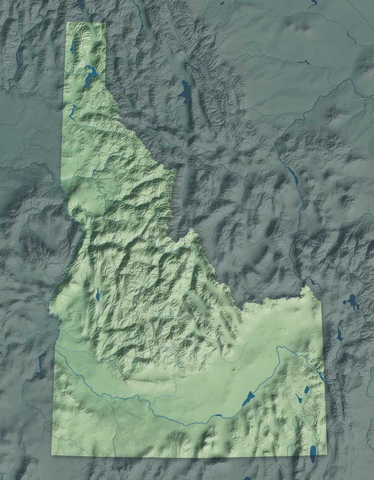
Idaho runs from the lakes and forests of the Panhandle down to the farms and lava fields of the Snake River Plain. In between, the mountains of central Idaho hold one of the largest wilderness areas in the lower 48. Along the Oregon line, the Snake River runs through Hells Canyon, one of the deepest river gorges in North America. Idaho became the 43rd state in 1890, and its state seal is the only one designed by a woman.
Boise and its neighbors in the Treasure Valley are home to about two in five Idahoans. Many towns began as gold and silver camps, timber towns, railroad stops or Latter-day Saint farm villages, and others grew up when canals brought water to the desert. The Coeur d'Alene, Kootenai, Nez Perce, Shoshone-Bannock and Shoshone-Paiute tribes still hold lands across the state.
- Statehood
- July 3, 1890
- Capital
- Boise
- Population
- 2,029,7332025 Census estimate
- Highest point
- Borah Peak, 12,668 feet
- Lowest point
- Where the Snake and Clearwater rivers meet, 710 feet
- Size
- 83,569 square miles, the 14th largest state
Coeur d'Alene and the Panhandle
Coeur d'Alene, Post Falls, Sandpoint and Bonners Ferry sit among the big lakes and forests of the narrow Panhandle. Jesuit priests and Coeur d'Alene people built the Cataldo Mission in the early 1850s, and it's the oldest building still standing in Idaho. Coeur d'Alene grew up beside an Army fort built on its lake in 1878. Silver mines made Wallace a boomtown, and because its downtown is on the National Register, Interstate 90 runs past it on a viaduct.


Lewiston and North Central Idaho
Lewiston, Moscow, Orofino and Grangeville sit among rolling wheat fields, timbered mountains and deep river canyons. The Nez Perce, who call themselves Nimiipuu, fed Lewis and Clark on Weippe Prairie in 1805, and their tribe is headquartered at Lapwai. Gold found near Pierce in 1860 set off Idaho's first rush, and Lewiston grew up as its supply town and became the territory's first capital. Moscow is home to the University of Idaho, founded in 1889.


Boise, the Treasure Valley and McCall
Boise, Meridian, Nampa and Caldwell fill the Treasure Valley, and mountain towns like Idaho City and McCall lie to the north. The Army built Fort Boise in 1863, and Boise became the territory's capital the next year. Gold in the Boise Basin made Idaho City bigger than Portland for a year or two. Many Basques came to Idaho to herd sheep, and Boise's Basque Block has a museum, a cultural center and Basque restaurants.


Sun Valley, Stanley and Salmon
Sun Valley, Ketchum, Stanley and Salmon sit in high mountain valleys, and the lava fields of Craters of the Moon spread out near Arco. The Union Pacific Railroad opened Sun Valley in 1936 and built the world's first chairlifts there. Sacajawea, who traveled west with Lewis and Clark, was born among the Agaidika Shoshone in the Lemhi River Valley near Salmon. In 1955, Arco became the first town anywhere lit by electricity from a nuclear reactor.


Twin Falls and the Magic Valley
Twin Falls, Burley, Rupert, Jerome and Gooding sit on farmland watered by canals from the Snake River. The land was sagebrush desert until irrigation turned it green so quickly that people named it the Magic Valley. Twin Falls was laid out in 1904, and nearby Shoshone Falls drops farther than Niagara Falls. At City of Rocks, travelers on the California Trail wrote their names on the granite in axle grease, and some can still be read.


Idaho Falls and Eastern Idaho
Idaho Falls, Rexburg and Rigby sit on farmland along the upper Snake River, with Driggs and Island Park up in the mountains to the east. Idaho Falls began at a toll bridge built over a lava gorge on the Snake in 1865, and it was called Eagle Rock until 1891. Latter-day Saints settled Rexburg in 1883, and the academy they opened in 1888 grew into BYU-Idaho. As a farm boy near Rigby, Philo Farnsworth came up with the idea for electronic television.


Pocatello and Southeast Idaho
Pocatello, Blackfoot, Preston and Montpelier sit in farm valleys and mountains between the Snake River and the Utah line. Latter-day Saint families founded Franklin in 1860, thinking they were still in Utah, and it's the oldest town in Idaho. Pocatello is named for a Shoshone leader, and the Fort Hall Reservation of the Shoshone-Bannock Tribes lies just to the north. In Soda Springs, a geyser that drillers struck in 1937 erupts on a timer every hour.


- 12 × 18 inPrint $39.99Framed $89.99
- 18 × 24 inPrint $49.99Framed $129.99
- 24 × 36 inPrint $89.99Framed $199.99

Sizes and Prices
Every map comes in three sizes on archival matte paper. Framed prints come in black or white wood.
How each map is made
It starts with the real place
Streets, buildings, terrain and water form the map, drawn the way Idaho looks today.
Then the details
Local research and an old atlas style give each town its character.
Then it's yours
Look around the map, then pick a print to keep or give.
















