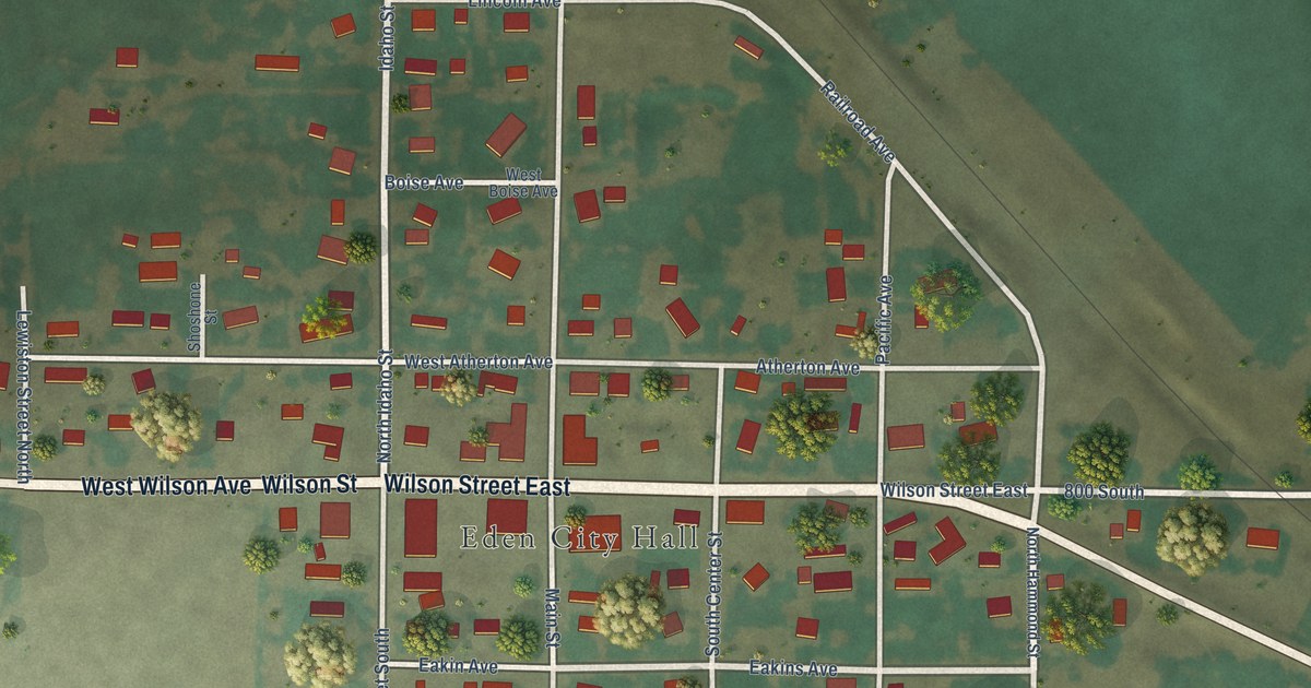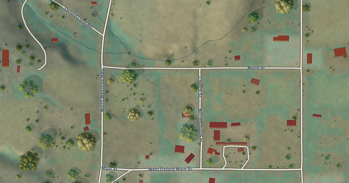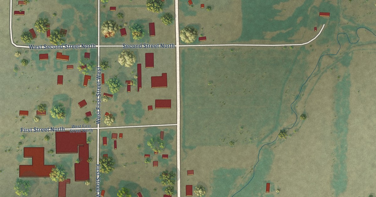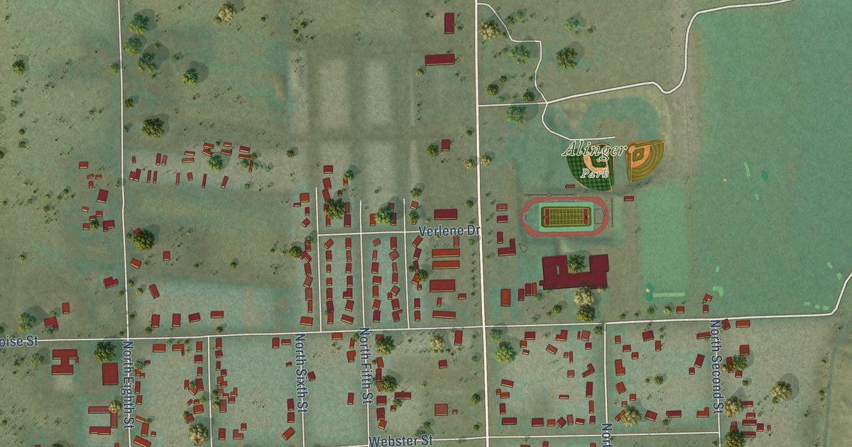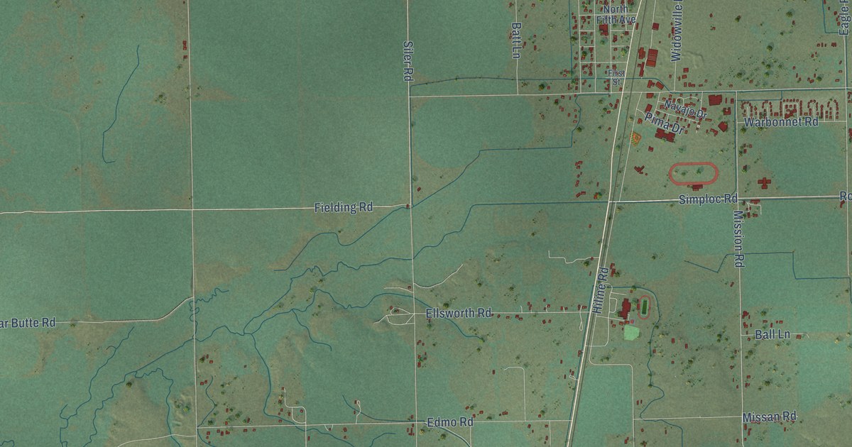
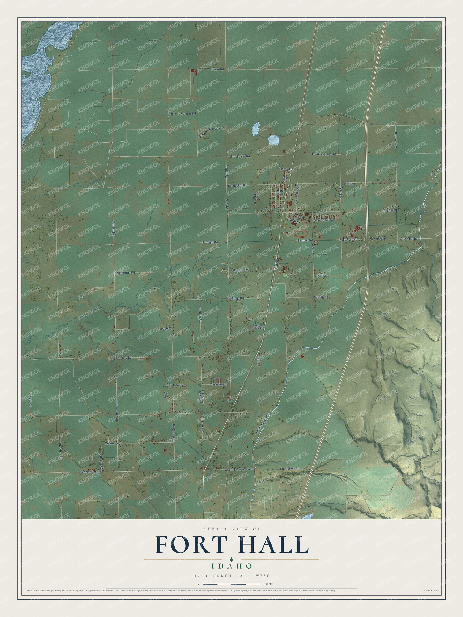
This beautifully detailed map of Fort Hall, Idaho was created in 2026 using aerial imagery combined with modern topographical, census, street and landmark data. It’s a one-of-a-kind view of Fort Hall that combines accurate data with a vintage aesthetic. The map shows every building in its true location, many of the roads carry their names, and the shaded topographic relief shows the shape of the land.
Explore an aerial view of Fort Hall, Idaho
On the map you’ll find Philbin Road, North Philbin Road, Reservation Road, Bannock Road, Simploc Road, Gay Mine Road, Mission Road, Ballard Road, Poleline Road, Rio Vista Road, Missan Road, Eagle Road, and more. If you look closely you can even find your house accurately drawn in its correct location. Zoom in on the preview to look for yours.
Did You Know?
Fort Hall was called Ross Fork until 1911. Trains had run through since 1878, when the Utah and Northern Railroad got its right of way across the Shoshone-Bannock reservation in exchange for 500 head of cattle and free train passage for members of the Shoshone and Bannock tribes. The 1901 depot shipped cattle, potatoes and other crops and carried mail and passengers for nearly seven decades. In 1968 the Union Pacific gave the building to the Shoshone-Bannock Tribes. That's from the National Register of Historic Places.
Take a closer look at the Fort Hall map
Names on this map
These names are printed on this map.
Streets and roads: Philbin Road, North Philbin Road, Reservation Road, Bannock Road, Simploc Road, Gay Mine Road, Mission Road, Ballard Road, Poleline Road, Rio Vista Road, Missan Road, Eagle Road.
More street names, A to Z
Agency Road, Ballard Cemetery Road, Ball Lane, Bartu Lane, Bates Lane, Batt Lane, Buckskin Drive, Burns Road, Cedar Butte Road, Cemetery Road, Cutshalts Road, East Sheepskin Road, Edmo Road, Ellsworth Road, Faulkner Loop Road, Fielding Road, First Street, Frasure Road, Hawthorne Road, Hencley Road, Hiline Road, La Vatta Lane, Lodge Extended, Lodge Road, Mecham Lane, Morgan Road, Navajo Drive, North Fifth Avenue, North Hawthorne Road, North Hiline Road, Paintbrush Street, Pima Drive, Pohipe Road, Pole Line Road, Poleline Road Extended, Ross Fork Road, Sheepskin Road, Siler Road, Simplot Road, Stock Trail Road, Tee Pee Street, Warbonnet Road, West Reservation Road, Widowville Road.
See it on a wall
The Fort Hall map as a framed print. Swipe for more.


This beautifully detailed map of Fort Hall makes an attractive addition to your office, library, or den, and it can even be used to teach children the geography and history of the area. It also makes a great gift for anyone who grew up in Fort Hall or moved away. When you’re done exploring, click here to get your copy of the Fort Hall map.