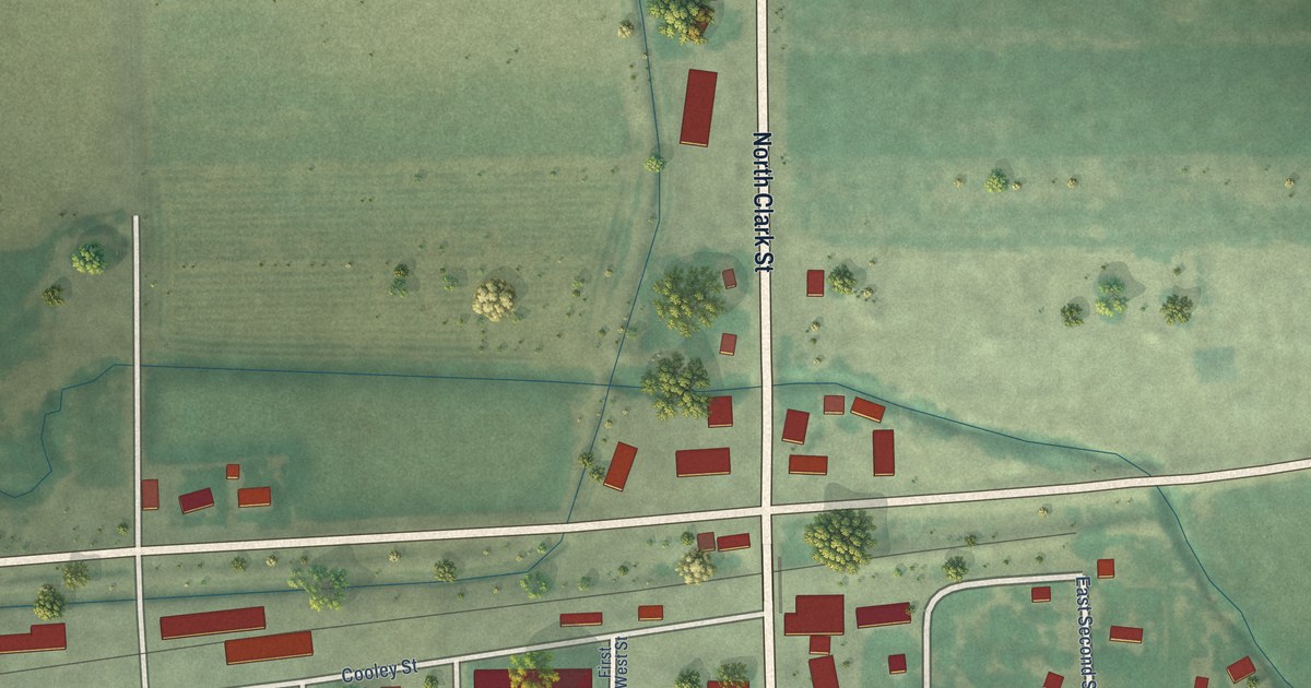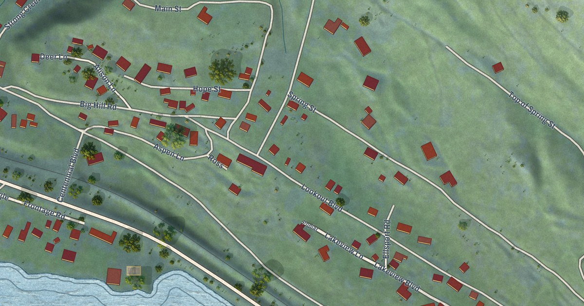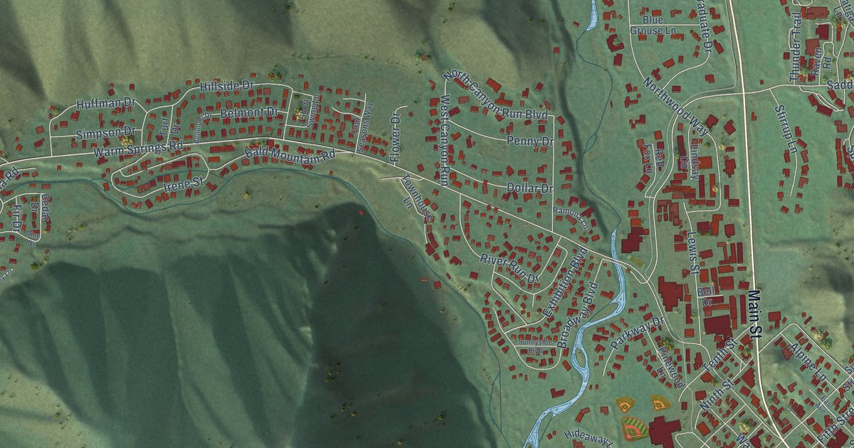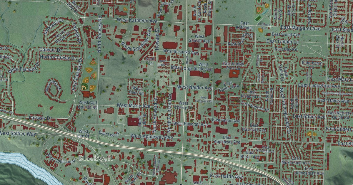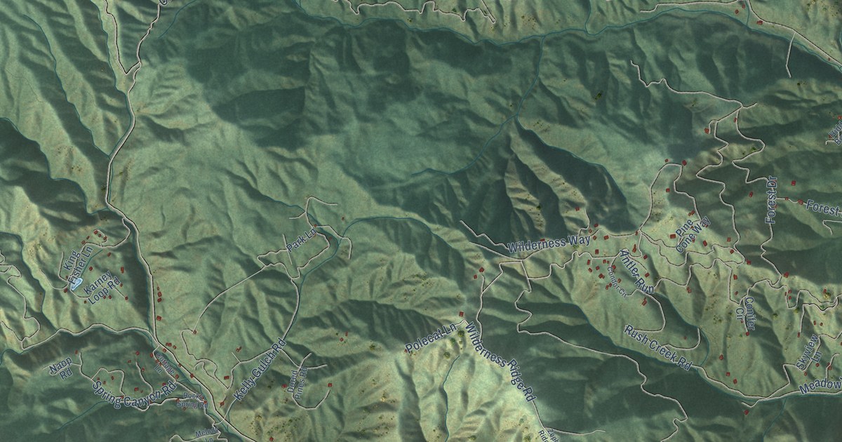
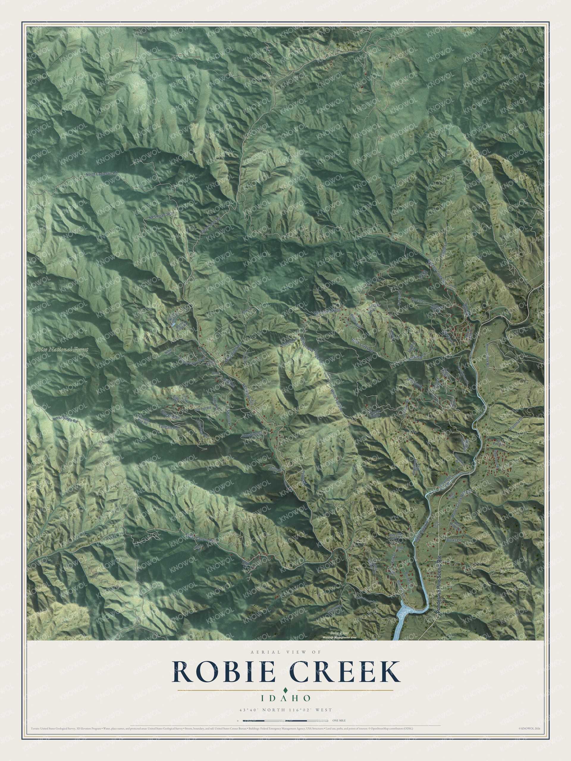
This beautifully detailed map of Robie Creek, Idaho was created in 2026 using aerial imagery combined with modern topographical, census, street and landmark data. It's a modern aerial view of Robie Creek in Boise County, Idaho, that combines modern data with a vintage aesthetic. The roads feature printed names, and if you look closely you can find your exact house accurately shown in its correct location.
Explore an aerial view of Robie Creek, Idaho
On this map you'll find Boise National Forest, Boise River Wildlife Management Area, Ponderosa Pine Scenic Rte, Wilderness Ridge Road, Polecat Lane, White Tail Run, Kirk Drive, Boise Ridge Road, Spring Canyon Road, Tollgate Road, Robie Creek Road, Rush Creek Road, and more. Each red shape is a building, so zoom in on the preview and look for yours.
Every town has a first chapter, and Robie Creek is no exception. The Robie Creek Fire broke out on the afternoon of Labor Day, September 5, 1955, after 45 days without rain. Within two hours, 15 to 20 people from the nearby Karney Lakes Resort, four smokejumpers and a crew of 20 firefighters were on the scene, but the fire spread so fast they had to retreat. It ran over 8,310 acres of private and national forest land in five days. At the peak more than 700 men fought it, and it was brought under control on September 9. That's from the U.S. Forest Service.
Robie Creek is a community in Boise County. The Census Bureau counted 1,193 people here in 2020.
Take a closer look at the Robie Creek map
Names on this map
These names are printed on this map.
Places: Boise National Forest and Boise River Wildlife Management Area.
Streets and roads: Ponderosa Pine Scenic Route, Wilderness Ridge Road, Polecat Lane, White Tail Run, Kirk Drive, Boise Ridge Road, Spring Canyon Road, Tollgate Road, Robie Creek Road, Rush Creek Road, Burnett Lane, NFS Road 261.
More street names, A to Z
Andy Circle, Antler Run, Bessie Drive, Bills Cv, Blacksmith Road, Blue Bird Road, Blue Jay Creek Road, Bluff Road, Bumble Bee Road, Burks Lane, Burnett Drive, Camas Drive, Chaparral Road, Clear Creek Road, Colleen Lane, Condor Circle, Conifer Circle, Cottage Lane, Creek View Drive, Daggett Creek Road, Daggett Rim Road, Dored Pines Road, Eagle Lane, Edgemere Place, Elk Run Road, Evergreen Drive, Evergreen Place, Flowing Springs Road, Forest Drive, Forest Lane, Golden Eagle Drive, Grand Fir Place, Hidden Bowl Road, Hugh Lane, Joy Lee Circle, Karney Loop Road, Keller Place, Kelly Gulch Road, King Fisher Lane, Larkspur Lane, Little Bear Road, McGavin Lane, Meadow Lane, Melody Lane, Mores Creek Circle, Mores Creek Rim Road, Mores Creek Road, Naop Road, NFS Road 263, North Eagleson Road, North Ridge Drive, Old Toll Road, Overlook Lane, Paloma Drive, Park Lane, Pine Cone Way, Pine Ridge Road, Poppy Lane, Robie Springs Road, Rocky Canyon Road, Rocky Spring Road, Shattuck, Skyview Lane, Sonshine Lane, Tamarack Trail, Toby Lane, White Hawk Way, Whitehawk Way, Wilderness Ranch Road, Wilderness Way, Wildrose Lane, Wonacott Way, Zephyr Ridge, Zephyr Ridge Road.
See it on a wall
The Robie Creek map as a framed print. Swipe for more.


Created by KNOWOL in 2026. The buildings are small red shapes, the roads carry their printed names, and shaded relief shows the shape of the land. The title panel reads "AERIAL VIEW OF ROBIE CREEK, IDAHO" with 43°40' NORTH 116°02' WEST.
Hang it in the hallway, the office or the cabin, or give it to someone who left Robie Creek and still calls it home. Open the preview and look for a street you know. See sizes and frames for the Robie Creek map.