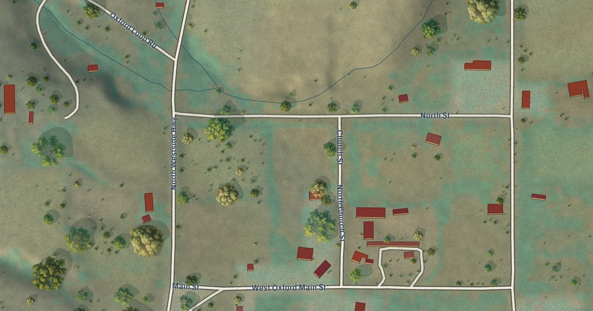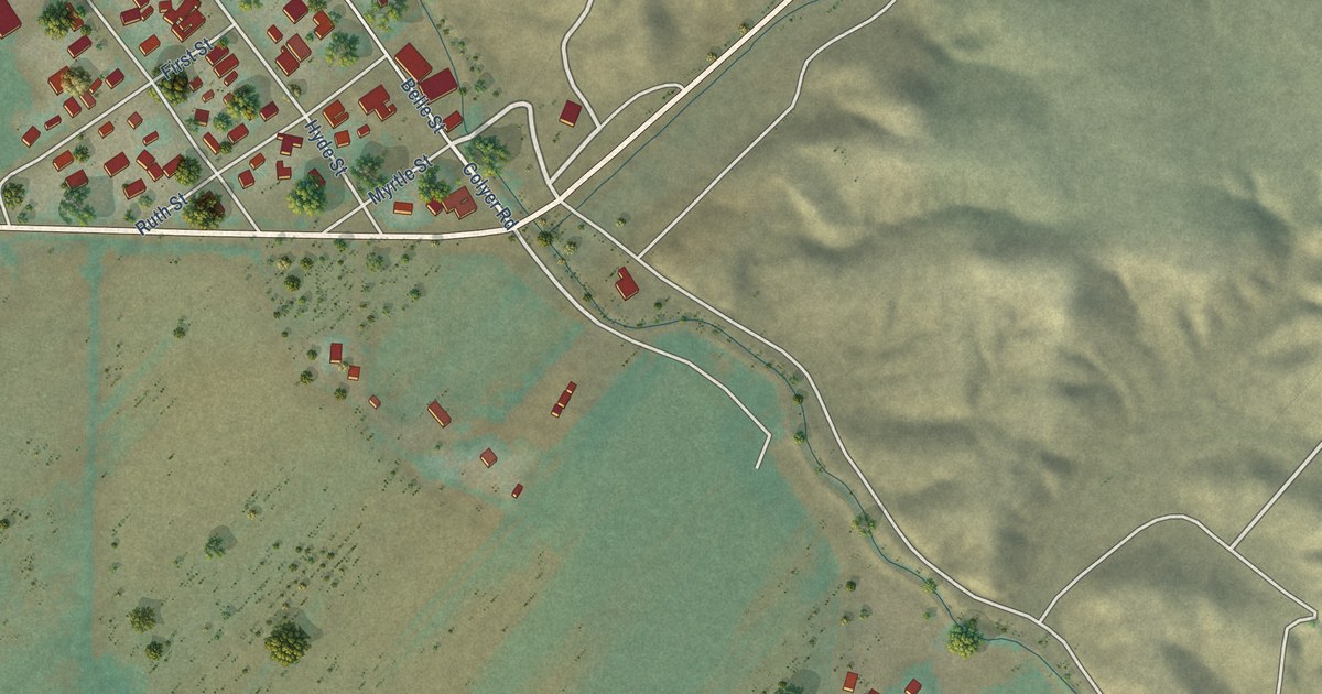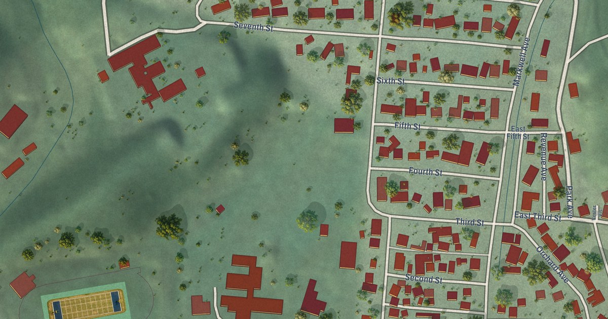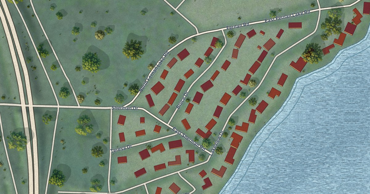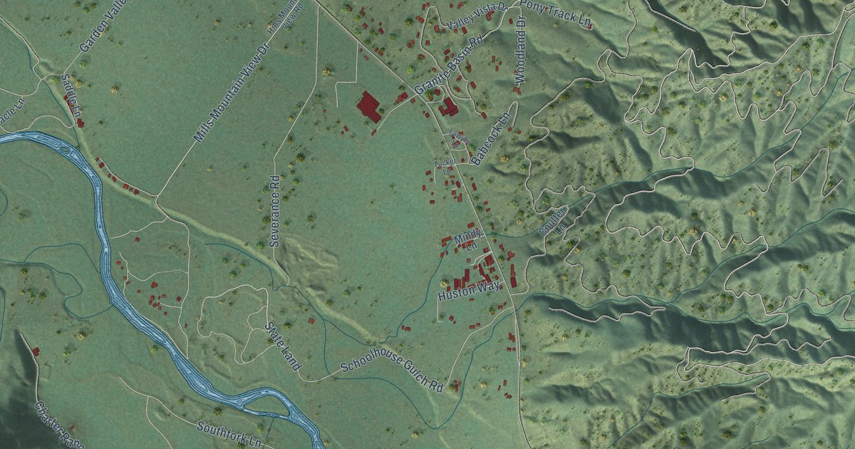
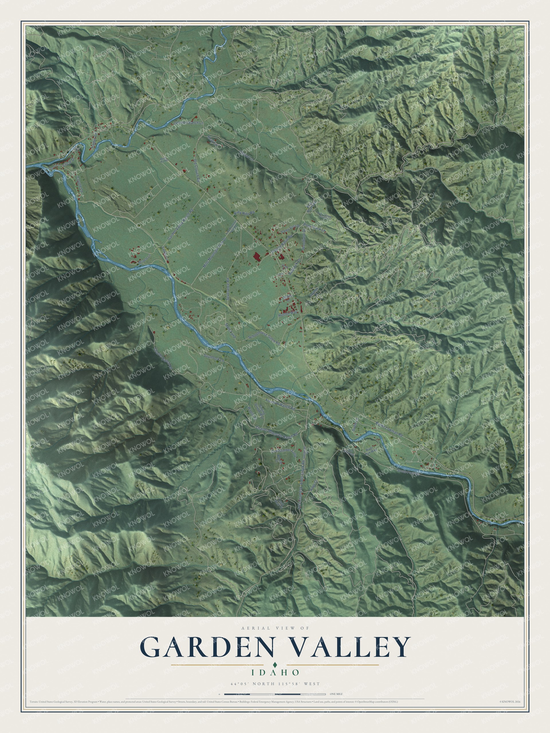
This beautifully detailed map of Garden Valley, Idaho was created in 2026 using aerial imagery combined with modern topographical, census, street and landmark data. It's a modern aerial view of Garden Valley in Boise County, Idaho, that combines modern data with a vintage aesthetic. The roads feature printed names, and if you look closely you can find your exact house accurately shown in its correct location.
Explore an aerial view of Garden Valley, Idaho
On this map you'll find South Fork Road, Mills Mountain View Drive, Pony Track Lane, Banks Lowman Road, Alder Creek Road, Charter Ranch Road, Crosstimber Loop, Granite Basin Road, NFS Road 615, Garden Valley Ranch Road, Freedom Ranch Road, Southfork Lane, and more. Each red shape is a building, so zoom in on the preview and look for yours.
Here is a piece of Garden Valley history. Austrian-born artist Charles Ostner bought an interest in a toll bridge over the South Fork of the Payette River at Garden Valley and lived there five years. For four of them he carved a statue of George Washington on horseback from a ponderosa pine felled on Alder Creek, working mostly at night by pine-pitch torches his children held. In 1869 he gave the statue to the Idaho Territorial Legislature. Gilded, it is on exhibit at the Idaho State Capitol. That's from the Boise County IDGenWeb project.
Garden Valley is a community in Boise County. The Census Bureau counted 377 people here in 2020.
Take a closer look at the Garden Valley map
Names on this map
These names are printed on this map.
Streets and roads: South Fork Road, Mills Mountain View Drive, Pony Track Lane, Banks Lowman Road, Alder Creek Road, Charter Ranch Road, Crosstimber Loop, Granite Basin Road, NFS Road 615, Garden Valley Ranch Road, Freedom Ranch Road, Southfork Lane.
More street names, A to Z
Babcock Lane, Black Bear Court, Bobcat Court, Chapel Lane, Charter Mountain Ranch Road, Chipmunk Lane, Circle Drive, Coulter Lane, Coyote Lane, Creekside Court, Fox Lane, Glennon Ranch Lane, Hills Mountain View Road, Huston Way, Lawyer Lane, Lucky 3 Ranch Barn Road, Mindy Lane, Miracle Lane, NFS Road 668, NFS Road 690, Old Crouch Road, Reay Lane, Ridge Court, River Run Way, Rock Pit Road, Ruby Hills Road, Saddle Lane, Sadie Lane, Schoolhouse Gulch Road, Severance Road, Singing Stream Way, State Land, Timber Lane, Tucker Lane, Valley Vista Drive, Wapitt Court, Woodland Drive.
See it on a wall
The Garden Valley map as a framed print. Swipe for more.


Created by KNOWOL in 2026. The buildings are small red shapes, the roads carry their printed names, and shaded relief shows the shape of the land. The title panel reads "AERIAL VIEW OF GARDEN VALLEY, IDAHO" with 44°05' NORTH 115°58' WEST.
It suits a den, a classroom or a front hall, and it makes a gift for anyone with Garden Valley roots. Open the preview and find the block you know. See sizes and frames for the Garden Valley map.