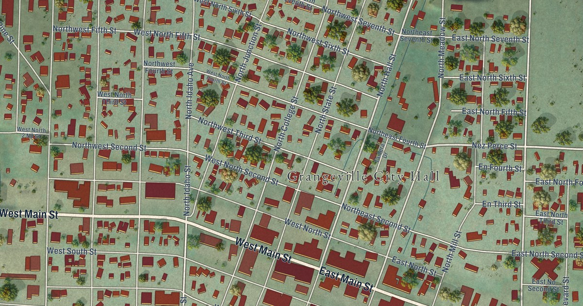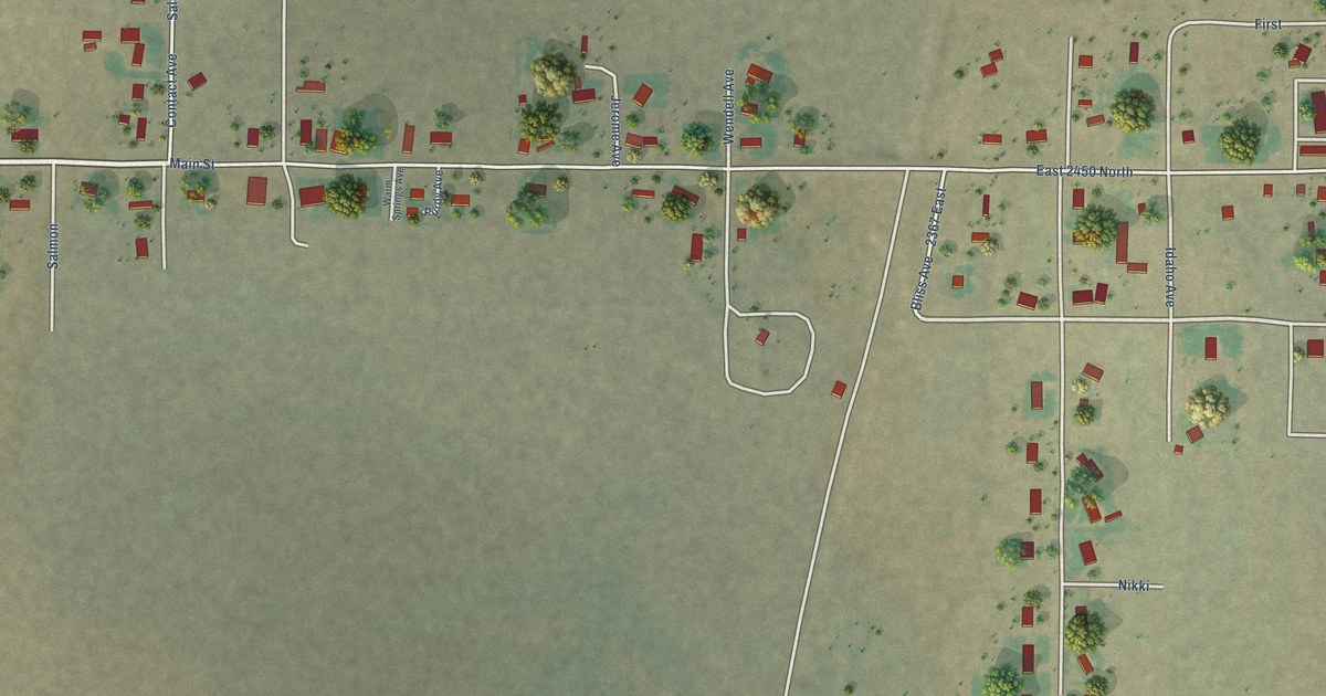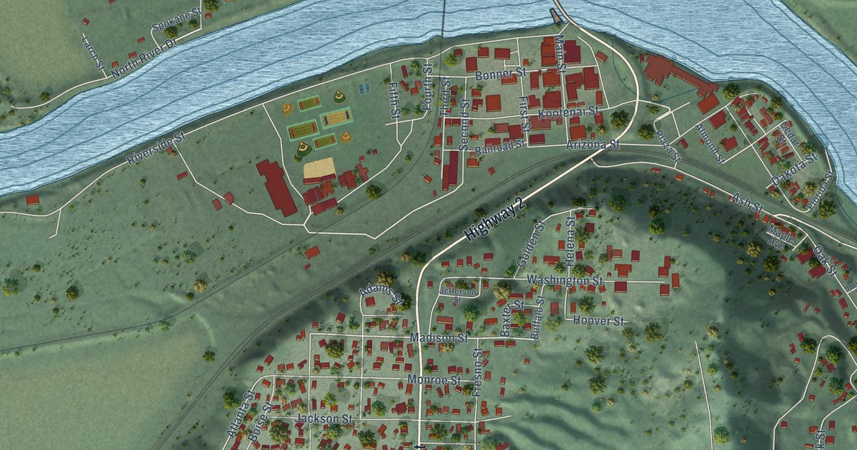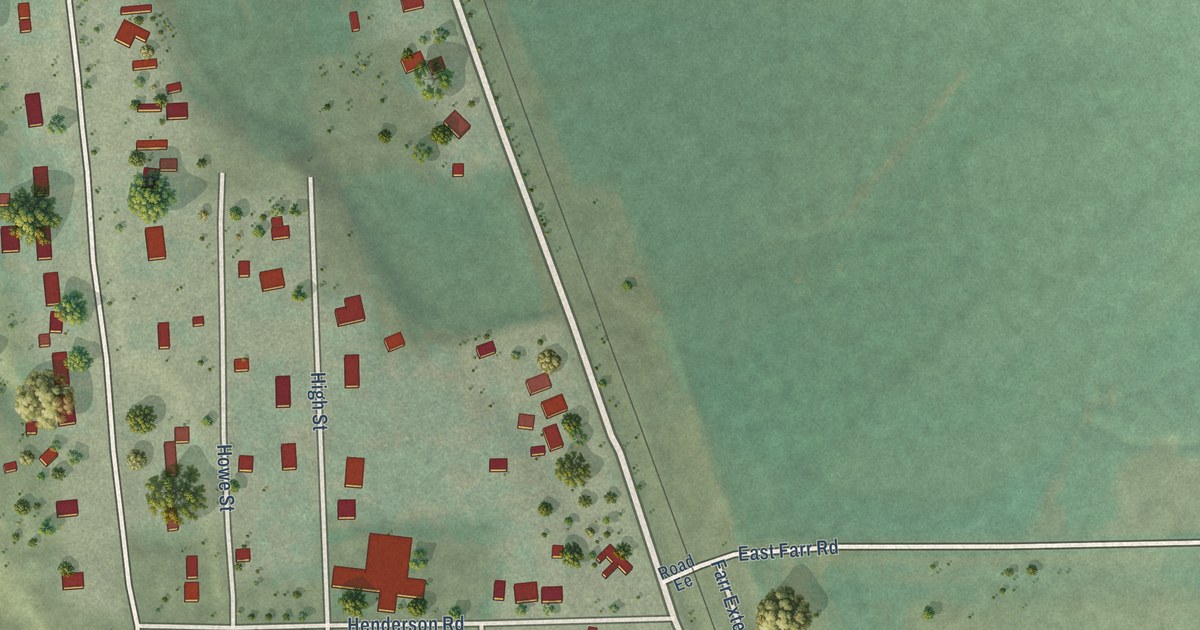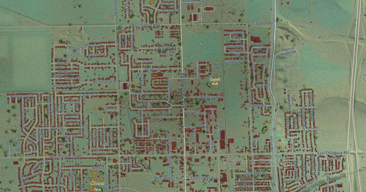
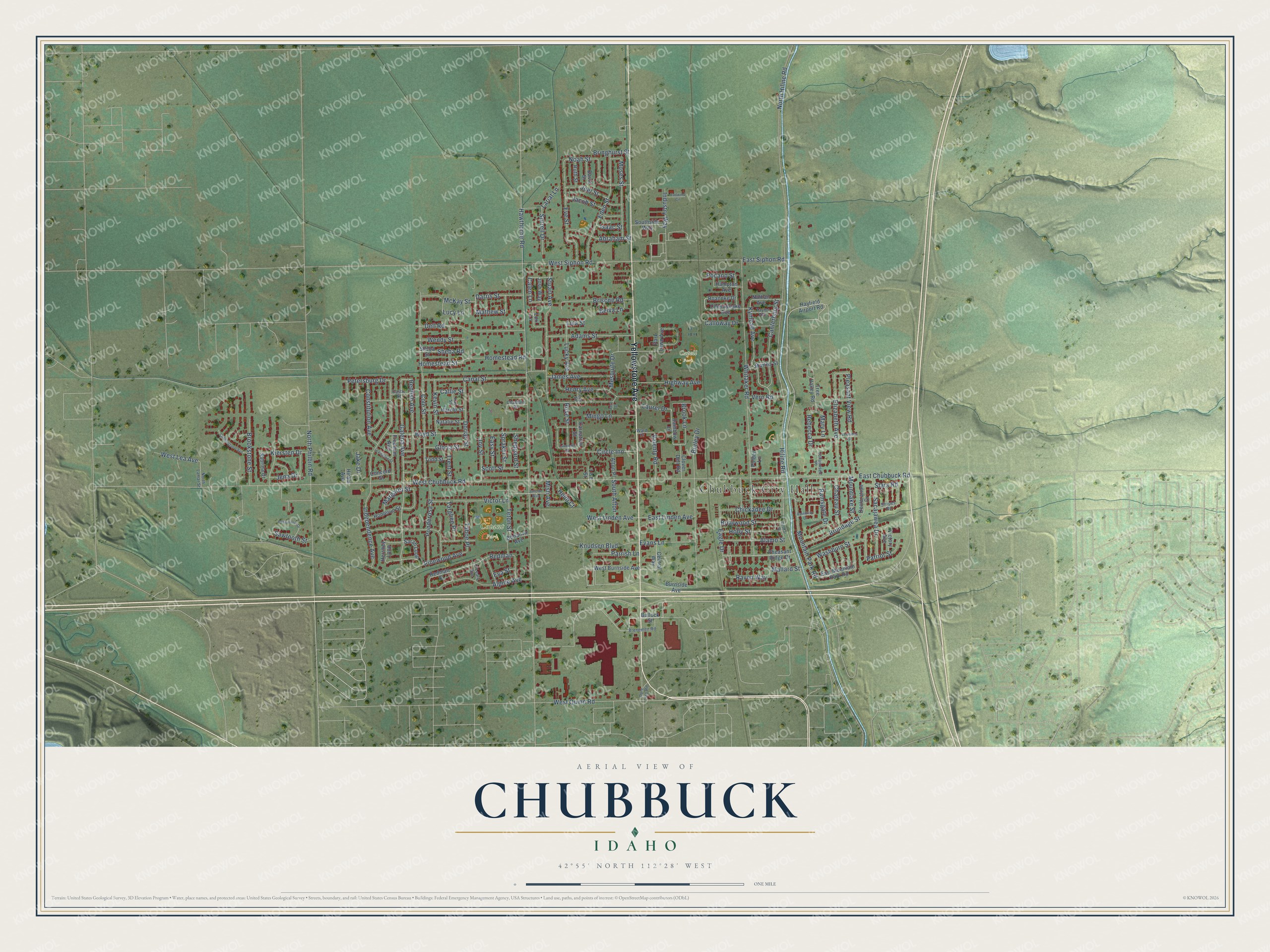
This beautifully detailed map of Chubbuck, Idaho was created in 2026 using aerial imagery combined with modern topographical, census, street and landmark data. It's a modern aerial view of Chubbuck in Bannock County, Idaho, that combines modern data with a vintage aesthetic. The roads feature printed names, and if you look closely you can find your exact house accurately shown in its correct location.
Explore an aerial view of Chubbuck, Idaho
On this map you'll find Chubbuck City Hall, Capell Park, Cotant Park, Yellowstone Avenue, West Quinn Road, Mathew Street, Galena Avenue, Kymball Avenue, North Hiline Road, Hiline Road, Stars Road, Calen Lane, and more. Each red shape is a building, so zoom in on the preview and look for yours.
Every town has a first chapter, and Chubbuck is no exception. The City of Chubbuck puts it this way: "The City of Chubbuck originated in the mid-20th Century with the establishment of the Village of Chubbuck in December 1949, with a population of just 125."
Chubbuck is a city in Bannock County. The Census Bureau counted 15,570 people here in 2020.
Take a closer look at the Chubbuck map
Names on this map
These names are printed on this map.
Places: Chubbuck City Hall, Capell Park and Cotant Park.
Streets and roads: Yellowstone Avenue, West Quinn Road, Mathew Street, Galena Avenue, Kymball Avenue, North Hiline Road, Hiline Road, Stars Road, Calen Lane, Independence Avenue, Redman, Hawthorne Road.
More street names, A to Z
Abraham Street, Adams Street, Afton Place, Alamo Street, Alpine Avenue, Belva Lane, Bonanza Avenue, Boyd Street, Brenemen Road, Briarwood Street, Bringhurst Street, Briscoe Road, Brook Lane, Brookstone Street, Brundage Street, Bullock Street, Burley Drive, Burnside Avenue, Callie Street, Calloway Drive, Canal Street, Canterbury Street, Carnation Street, Castle Street, Central Way, Chastain Drive, Chateau Street, Chesapeake Avenue, Chickadee Drive, Circle Inn, Clover Dell Road, Cobblestone Avenue, Cole Street, Concord Street, Constitution Avenue, Darris Street, David Street, Declaration Drive, Dell Road, Deodar Street, Dorian Street, Eagle Drive, East Chubbuck Road, East Linden Avenue, East Mountain Park Road, East Siphon Road, Easy Street, Eden Street, Elizabeth Avenue, Evans Lane, Eva Street, Eve Street, Fern Street, Freedom Avenue, Gloria Street, Hampton Avenue, Harold Street, Hayfield Airport Road, Heidi Court, Henry Avenue, Hershey Loop, Highway Avenue, Hiram Avenue, Holly Street, Homerun Street, Homestead Road, Homestead Street, Industry Way, Isaac Street, Jacob Street, Jake Drive, James Avenue, Jena Drive, Joel Street, Johannsen Place, Josh Way, Joy Street, Juliette Way, Kay Street, Kevin Street, Kiersten Drive, Knudsen Boulevard, Lariat Lane, Laurel Drive, Lavender Street, Leonidas Street, Lexington Street, Lily Street, Lisa Street, Lish Street, Lori Lane, Lucky Avenue, Lucy Lane, Mallard Street, Margaret Street, Martha Street, Mary Lane, McKay Street, Mesquite Drive, Mingo Lane, Misti Avenue, Moses Street, Mountain Park Road, Mountlake Street, Natalie Street, Nathan Avenue, Noah Street, North Lamar Street, North Philbin Road, O'Leary Avenue, Pahsimeroi Drive, Park Lawn Avenue, Parrish Lane, Patriot Street, Petersburg Drive, Pheasant Ridge Drive, Pinewood Avenue, Pleasant View Road, Pocano Street, Polder Lane, Pole Line Road, Ponderosa Street, Rainbow Lane, Raindrop Drive, Ramsgate Drive, Raven Way, Rebecca Drive, Redfish Avenue, Redman Street, Roanoke Drive, Rose Street, Ruth Street, Sabrina Drive, Sacajawea Drive, Sarah Loop, Sawtooth Street, Scott Street, Sheba Road, Sheba Street, Sheppard Street, Sorrell Drive, South Afton, Southside Way, Spraker Street, Stripes Road, Stuart Avenue, Tahoe Place, Tailwind Circle, Targhee Place, Taylor Avenue, Teton Street, Todd Street, Tree Valley Road, Trent Street, Valenty Road, Vern Road, Victor Lane, Victory Avenue, Ward Drive, Washburn Street, Wendy Street, West Burnside Avenue, West Chubbuck Road, West Lea Avenue, West Linden Avenue, West Siphon Road, Whitaker Road.
Created by KNOWOL in 2026. The buildings are small red shapes, the roads carry their printed names, and shaded relief shows the shape of the land. The title panel reads "AERIAL VIEW OF CHUBBUCK IDAHO" with 42°55' NORTH 112°28' WEST.
Hang it in the hallway, the office or the cabin, or give it to someone who left Chubbuck and still calls it home. Open the preview and look for a street you know. See sizes and frames for the Chubbuck map.