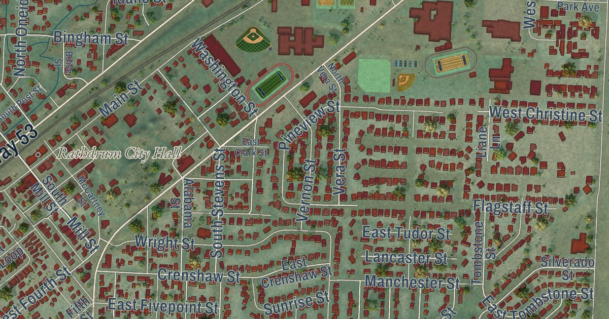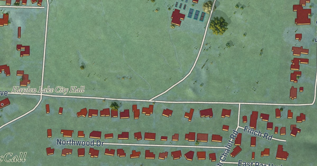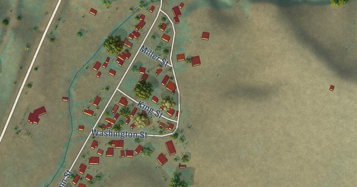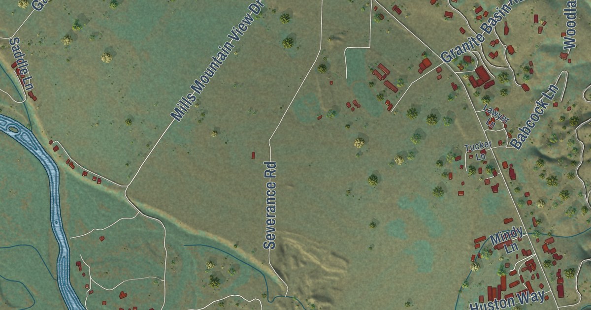
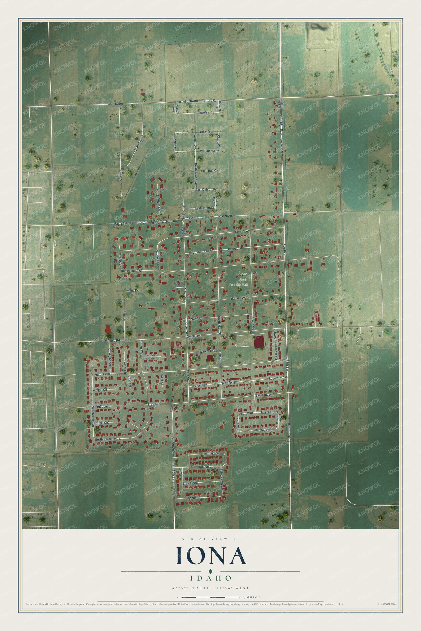
This beautifully detailed map of Iona, Idaho was created in 2026 using aerial imagery combined with modern topographical, census, street and landmark data. It’s a one-of-a-kind view of Iona that combines accurate data with a vintage aesthetic. The map shows every building in its true location, many of the roads carry their names, and the shaded topographic relief shows the shape of the land.
Explore an aerial view of Iona, Idaho
On the map you’ll find Iona City Hall, Longhurst, and North 55th East, along with Iona North Road, Fourth Street, Longhurst Avenue, Olsen Avenue, North Barnes Way, Sagebrush Avenue, Denning Avenue, Steele Avenue, Owens Avenue, and more. If you look closely you can even find your house accurately drawn in its correct location. Zoom in on the preview to look for yours.
Did you know this piece of Iona, Idaho history?
From the City of Iona: "In 1901, Anna Starr Rockwood wanted the town to have a place for recreation. Anna and Elvira Steele presented a plan for the Iona Square to Anna’s husband, Charles Welcome Rockwood."
Take a closer look at the Iona map
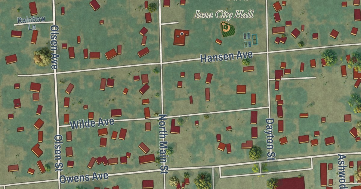
Street and place names on the Iona, Idaho map
These names are printed on the map of Iona, Idaho.
Places: Iona City Hall and Iona Park.
Streets and roads: Iona North Road, Fourth Street, Longhurst, North 55th East, Longhurst Avenue, Olsen Avenue, North Barnes Way, Sagebrush Avenue, Denning Avenue, Steele Avenue, Owens Avenue, 41 North.
More street names, A to Z
41st North, 41st North Street, 49th North, 50 Northeast, 50th Northeast, 55th East, Alder Circle, Allcott Drive, Ashwod Lane, Ashwood Lane, Aubree Way, Barnes Way, Brylee Way, Buchanan Avenue, Camas Creek Cr, Clapp Road, Conrad Drive, Cooper Avenue, Crook Road, Davis Circle, Dayton Street, East 41 North, East 41st North, East 49th North, East Ball Circle, East Demott Street, East Dutson Drive, East Elliot Street, East Free Avenue, East Iona Road, Elim Lane, Elliott Drive, Free Avenue, Freedom Circle, Hadderlie Lane, Hansen Avenue, Jenkins Street, Lilac Circle, Main Street, McKibben, Miles Drive, Nelson Drive, North 50th East, North 55 East, North Main, North Main Street, North Olsen, North Olsen Avenue, North Winder Avenue, Olsen Street, Olson Avenue, Quaky Aspen Drive, Rainbow Lane, Rebecca Way, Rockridge Lane, Rockwood Avenue, Rushton Circle, Rushton Road, Ryanne Way, Sawmill Circle, Scoresby Avenue, Scorsby Avenue, Scorsby Street, Sellars Way, Smith Drive, Sunrise Lane, Sunset Drive, Tanner Drive, Telford Road, Thornton Road, Walker Avenue, Weigel Circle, Wilde Avenue, Williams Way, Winder Avenue.
See the Iona, Idaho map on a wall
The Iona map as an 18 x 24 inch print in a black frame.

This beautifully detailed map of Iona makes an attractive addition to your office, library, or den, and it can even be used to teach children the geography and history of the area. It also makes a great gift for anyone with Iona roots. When you’re done exploring, click here to get your copy of the Iona map.