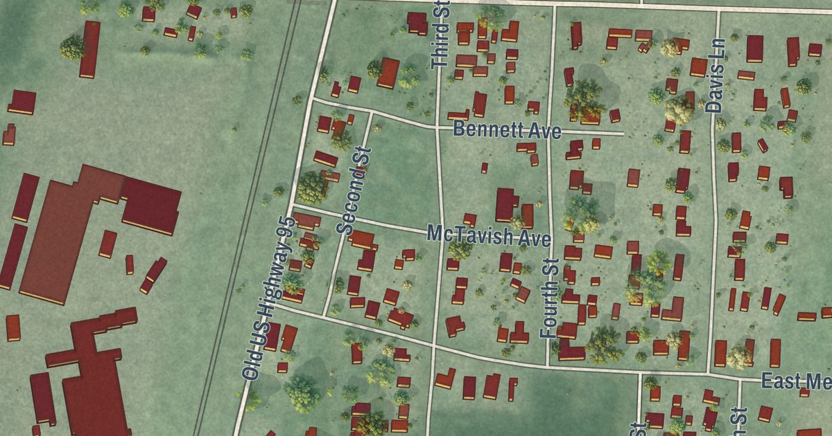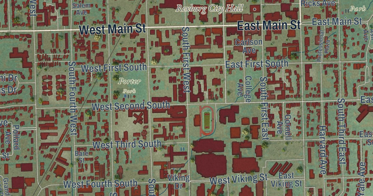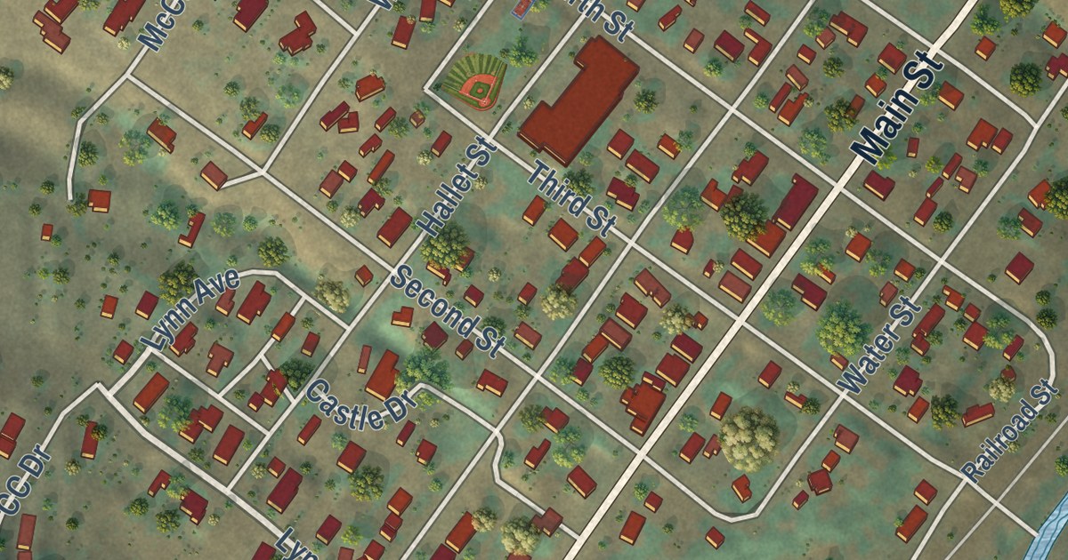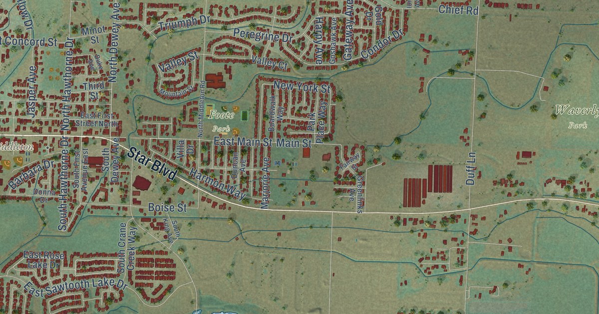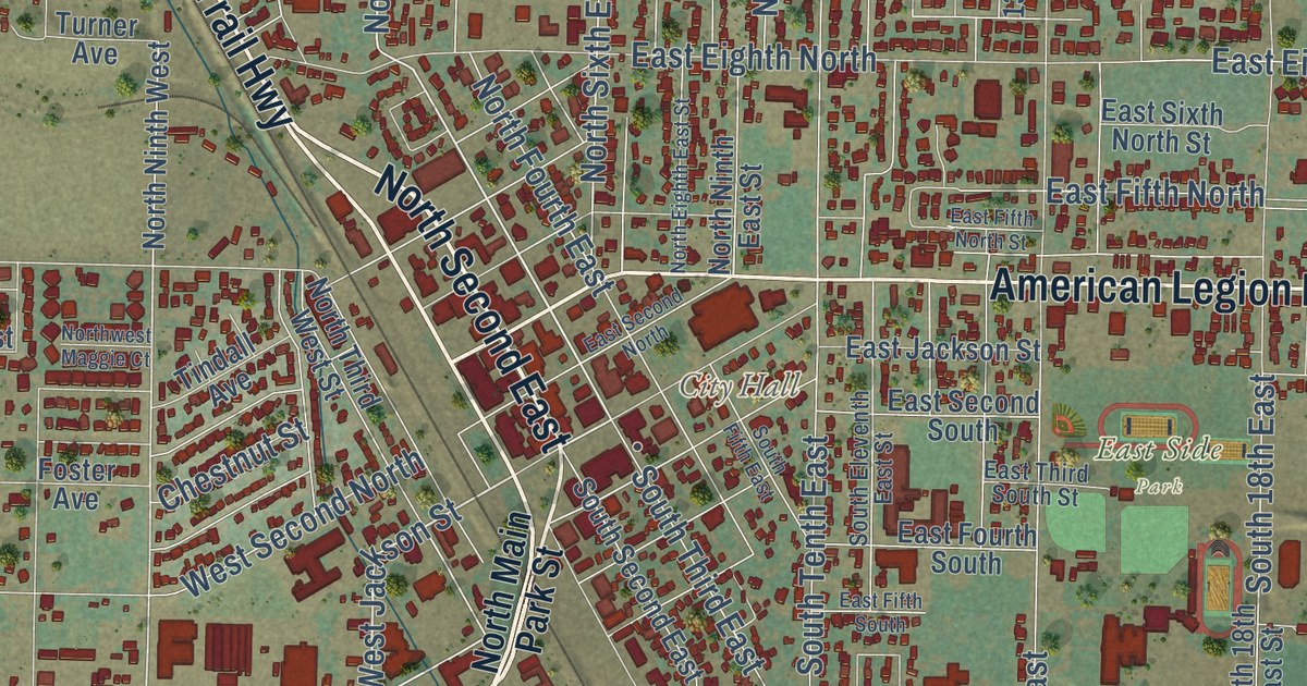
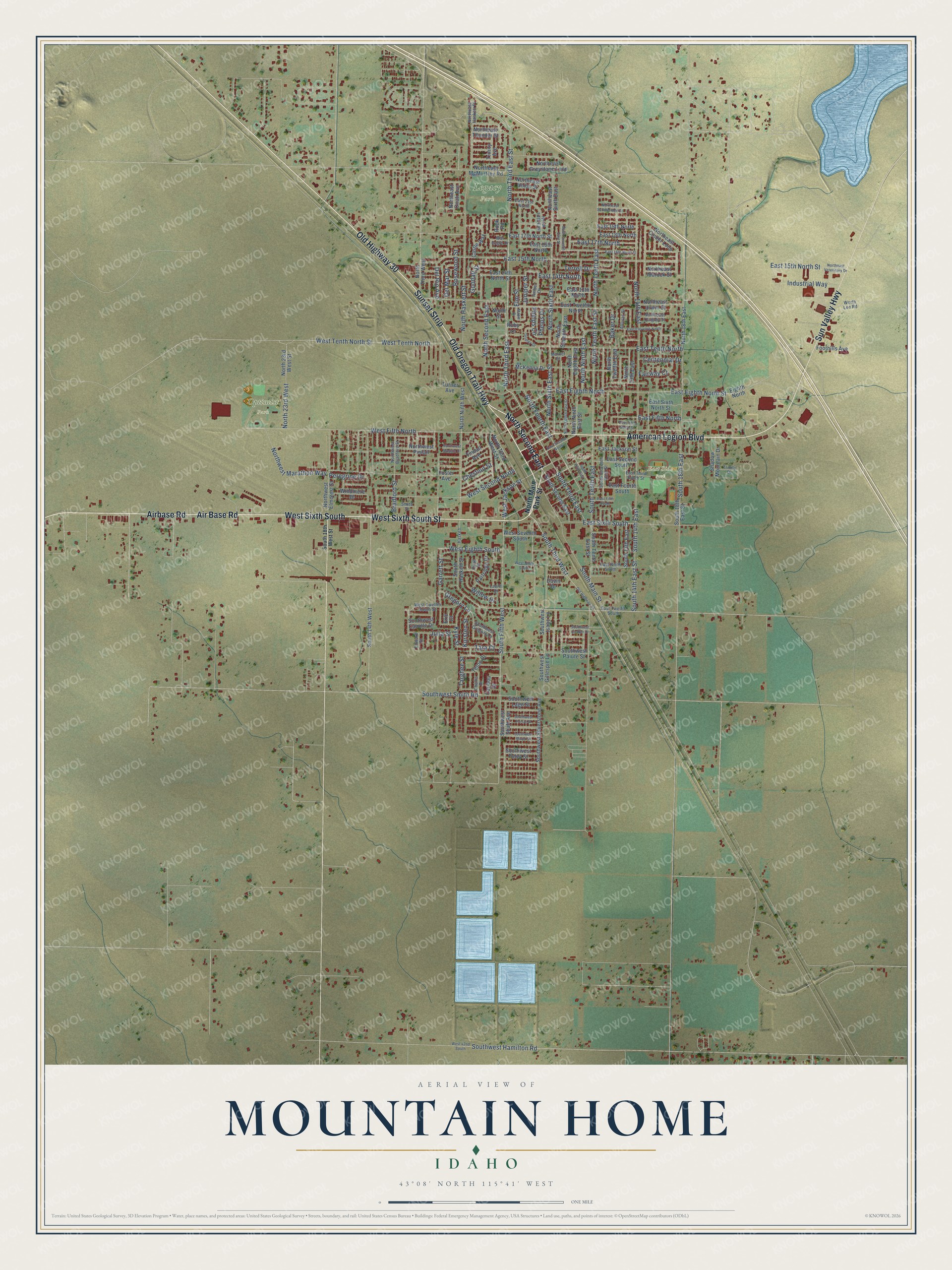
This beautifully detailed map of Mountain Home, Idaho was created in 2026 using aerial imagery combined with modern topographical, census, street and landmark data. It’s a one-of-a-kind view of Mountain Home that combines accurate data with a vintage aesthetic. The map shows every building in its true location, many of the roads carry their names, and the shaded topographic relief shows the shape of the land.
Explore an aerial view of Mountain Home, Idaho
On the map you’ll find City Hall, East Side Park, Legacy Park, Optimist Park, West Sixth South, and North Second East, along with Old Oregon Trail Highway, West Sixth South Street, Air Base Road, American Legion Boulevard, Old Highway 30, North Main Street, and more. If you look closely you can even find your house accurately drawn in its correct location. Zoom in on the preview to look for yours.
Did you know this piece of Mountain Home, Idaho history?
From the History of Idaho: "Mountain Home was made the county seat of Elmore county and is the most important business point within its limits."
Take a closer look at the Mountain Home map
Street and place names on the Mountain Home, Idaho map
These names are printed on the map of Mountain Home, Idaho.
Places: City Hall, East Side Park, Legacy Park and Optimist Park.
Streets and roads: Old Oregon Trail Highway, Air Base Road, North Second East, West Sixth South, Old Highway 30, American Legion Boulevard, West Sixth South Street, Sunset Strip, Airbase Road, Sun Valley Highway, North Third East, West Jackson Street.
More street names, A to Z
Alturas Drive, Amber Drive, Baker Drive, Bradford Street, Caribou Drive, Castle Way, Centennial Drive, Challis Drive, Chestnut Street, Dawn Drive, Del Mar Street, Del Rio Avenue, East 13th North, East 14th North, East 14th North Street, East 15th North, East 15th North Street, East 16th North, East 16th North Street, East 17th North, East 17th North Street, East 18th North, East 19th North, East 21st North, East Eighth North, East Eighth North Street, East Eleventh North, East Fifth North, East Fifth North Street, East Fifth South, East Fourth South, East Jackson Street, East Ninth South, East Second North, East Second South, East Sixth North Street, East Sixth South, East Tenth North, East Third South Street, East Twelfth North, East Twelfth South, Edward Street, Eighth North, Elm Street, Eric Court, Fairway Court, Foothills Avenue, Foster Avenue, Garrett Street, Goodall Street, Gregory Lane, Gridley Drive, Haskett, Industrial Way, Julia Street, Juniper Street, Kursten Street, Kyle Street, Laurel Drive, Maple Drive, Market Street, McKenna Drive, North 13th East, North 14th East, North 18th East, North 23rd West, North 23rd West Street, Northeast Cinder Loop, Northeast Greystone Loop, Northeast Haskett Place, Northeast Idarock Street, Northeast McMurtrey Road, Northeast Onati Avenue, Northeast Quigley Street, Northeast Saddleridge Street, Northeast Sixth East, Northeast Thunder Street, Northeast Union Street, Northeast Urwin Street, Northeast Veterinary Drive, North Eighth East, North Eighth East Street, North Fifth East, North Fourth East, North Haskett Street, North Main Park Street, North Ninth East, North Ninth East Street, North Ninth West, North Seventh East, North Seventh East Street, North Sixth East, North Sixth East Street, North Street, North Tenth East, North Tenth East Street, North Third East Street, North Third West, North Third West Street, North Twelfth East, Northwest Bradford Street, Northwest Elmcrest Street, Northwest Maggie Court, Northwest Marathon Way, Northwest Pintail, Partridge Drive, Peregrine Drive, Phelps Circle, Phelps Drive, Quail Place, Rock Road, Rosewood Street, Ruby Lane, Shadow Mountain Drive, Smith Street, South 13th East, South 14th East, South 14th East Street, South 14th West, South 18th East, South 18th East Street, South 18th West Street, South Eleventh East Street, South Fifth East, South Fifth West, South Haskett Street, South Main Street, South Second East, South Tenth East, South Tenth East Street, South Third East, South Third West, Southwest Camille Drive, Southwest Foley Street, Southwest Gillespie Lane, Southwest Gregory Lane, Southwest Hamilton Road, Southwest Isaac Lane, Southwest Lago Street, Southwest Miner Street, Southwest Paiute Street, Southwest Portal Street, Southwest Quaker Drive, Southwest Shaft Avenue, Southwest Silverstone Avenue, Southwest Smith Road, Tara Court, Targhee Street, Terrell Drive, Teton Drive, Tindall Avenue, Trinity Avenue, Trinity Drive, Turner Avenue, War Eagle Drive, West 42nd South, West Eighth South, West Fifth North, West Ninth South, West Second North, West Seventh South, West Tenth North, West Tenth North Street, West Twelfth South Street, Willow Drive, Windmere Drive, Worth Lee Road.
See the Mountain Home, Idaho map on a wall
The Mountain Home map as an 18 x 24 inch print in a black frame.

This beautifully detailed map of Mountain Home makes an attractive addition to your office, library, or den, and it can even be used to teach children the geography and history of the area. It also makes a great gift for anyone with Mountain Home roots. When you’re done exploring, click here to get your copy of the Mountain Home map.