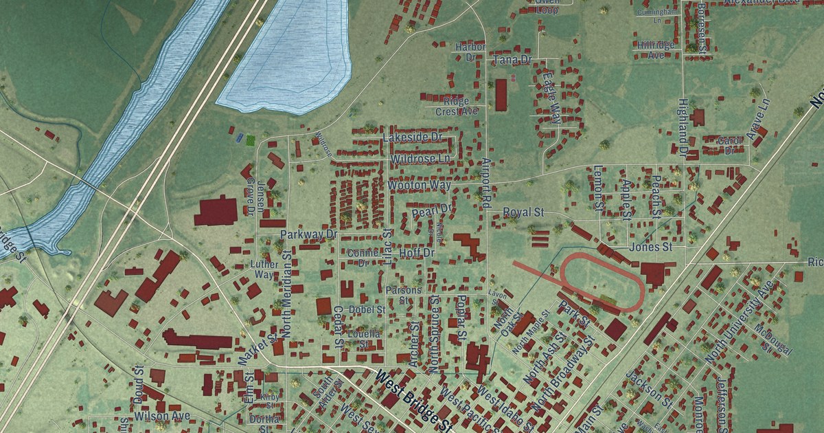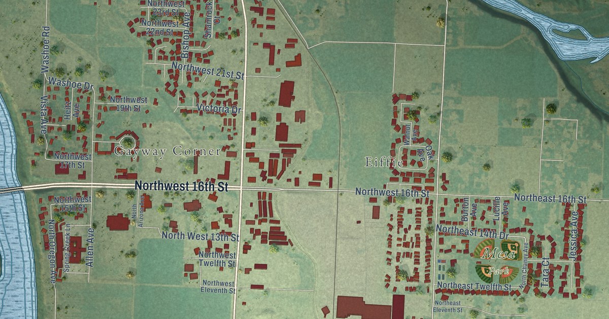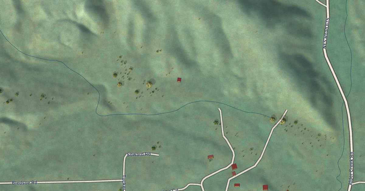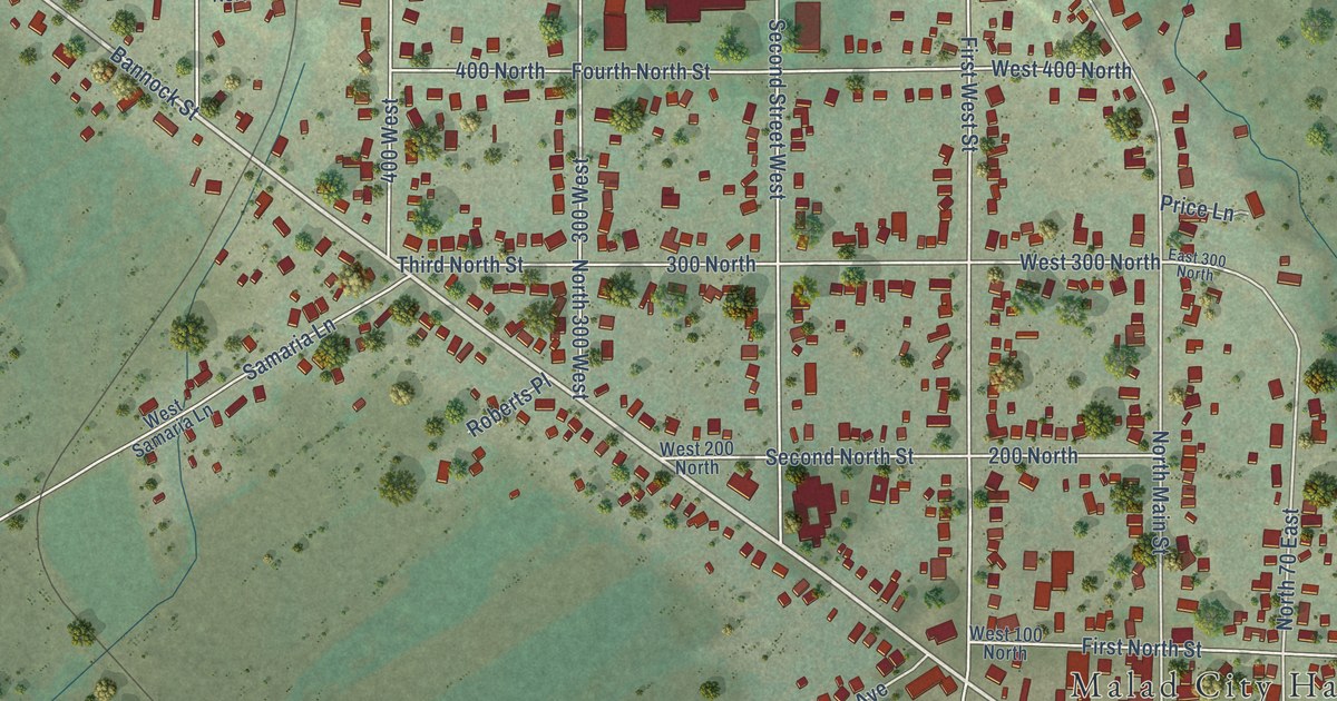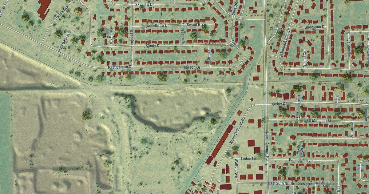
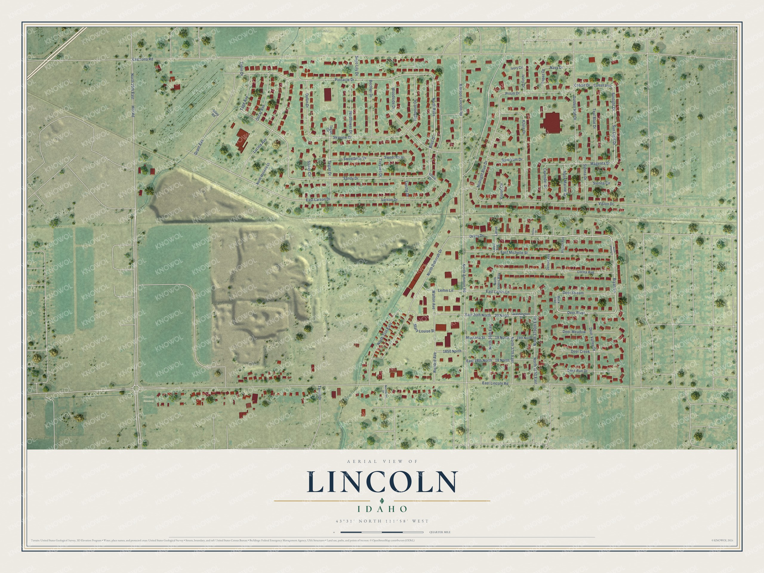
This beautifully detailed map of Lincoln, Idaho was created in 2026 using aerial imagery combined with modern topographical, census, street and landmark data. It's a modern aerial view of Lincoln in Bonneville County, Idaho, that combines modern data with a vintage aesthetic. The roads feature printed names, and if you look closely you can find your exact house accurately shown in its correct location.
Explore an aerial view of Lincoln, Idaho
On this map you'll find Lincoln Cemetery, Deloy Drive, Bryan Lane, Deer River, Pinnacle Drive, Bliss Drive, North Bliss, Sun Light Drive, Sunlight Drive, Sandy Drive, Magenta Drive, East Larson Drive, and more. Each red shape is a building, so zoom in on the preview and look for yours.
Lincoln is a community in Bonneville County. The Census Bureau counted 4,556 people here in 2020. Lincoln sits about 2 miles west of Iona, 3 miles north of Ammon and 4 miles northeast of Idaho Falls. The map prints the town name in its title panel, with the coordinates below it.
Take a closer look at the Lincoln map
Names on this map
These names are printed on this map.
Places: Lincoln Cemetery.
Streets and roads: Deloy Drive, Bryan Lane, Deer River, Pinnacle Drive, Bliss Drive, North Bliss, Sun Light Drive, Sunlight Drive, Sandy Drive, Magenta Drive, East Larson Drive, Tegan Drive.
More street names, A to Z
18 North, 19 North, 19th North, 20 North, 1850 North, Alyson Avenue, Ammon-Lincoln Road, Aqua Marine Drive, Azure Drive, Bechler Drive, Buck Trail, Cobalt Drive, Colbalt Blue, Dallin Drive, Deer Creek, Deer Meadow, Deer Run Drive, Deer Stream, Deer Valley Drive, Delooy Drive, Denise Avenue, East 18th North, East 20th North, East Iona Road, East Leihm Lane, East Lincoln Road, East Michelle Street, Golden Rod Drive, Grant Avenue, Highpoint Drive, Hitt Road, Ivory Circle, Ivory Drive, Larson Drive, Larue, Larue Avenue, Lavender Drive, Leihm Lane, Lorna Avenue, Lucina Avenue, Mary Louise Street, Midnight Blue Drive, Montana Street, Navy Drive, North 25th East, North 31st East, North 36th East, North 37th East, North 3750 East, North 3750th East, North Ammon Road, North Bryan Lane, North Deborah Drive, North Melinda Court, North Travis Way, Northwind Drive, Olivia Drive, Oscar Avenue, Prism Drive, Richard Avenue, Riley Road, Sandy Circle, Sego Lily Drive, Sienna Circle, Sienna Drive, Skyview Drive, Spectrum Drive, Sweet Briar, Sweetbriar Drive, Tage Avenue, Teal Blue Drive, Tebin Drive, Tegan Circle, Terrill Drive, Topaz Drive, Trestle Drive, Treyeen Drive, Vision Circle, Vision Drive, Walton Avenue, Washington Street, Wildflower Drive, Woodside Drive.
Created by KNOWOL in 2026. The buildings are small red shapes, the roads carry their printed names, and shaded relief shows the shape of the land. The title panel reads "AERIAL VIEW OF LINCOLN, IDAHO" with 43°31' NORTH 111°58' WEST.
It looks right in a kitchen, an office or a den, and it's a gift for anyone who grew up in Lincoln or moved away. Open the preview and find your street. See sizes and frames for the Lincoln map.