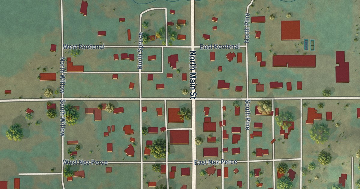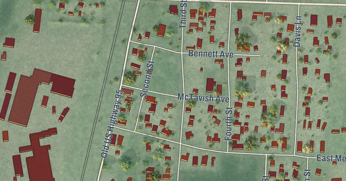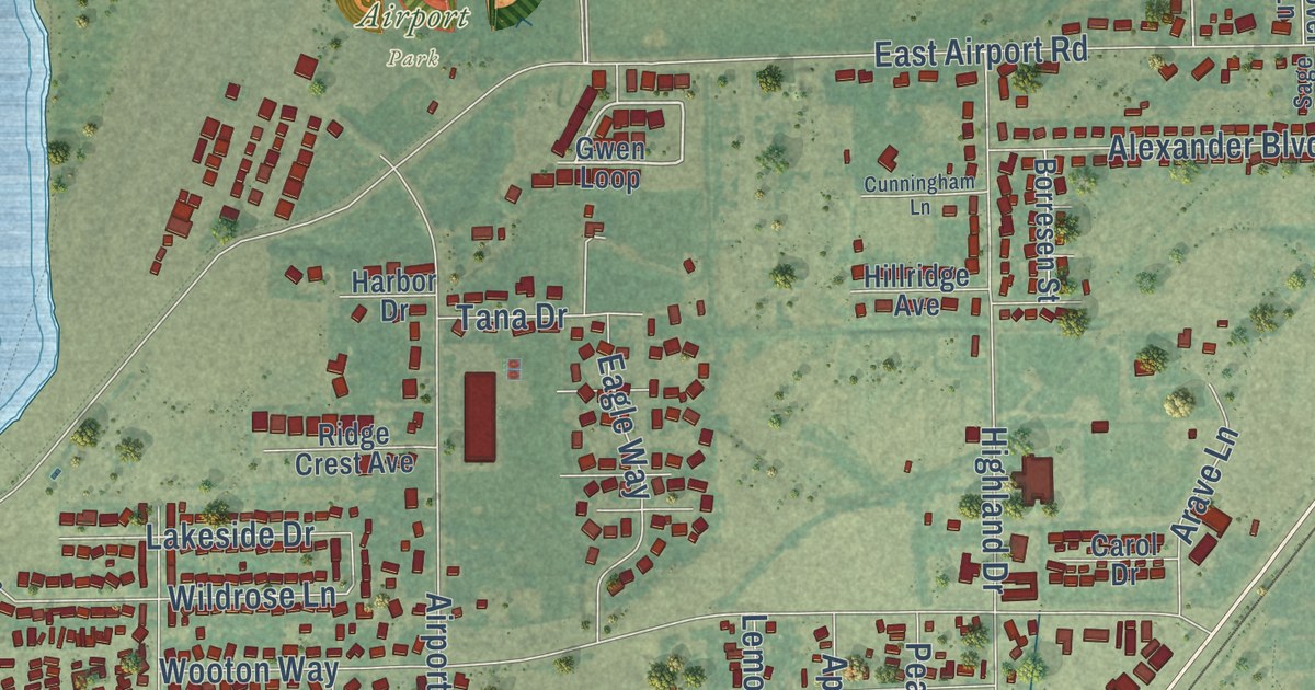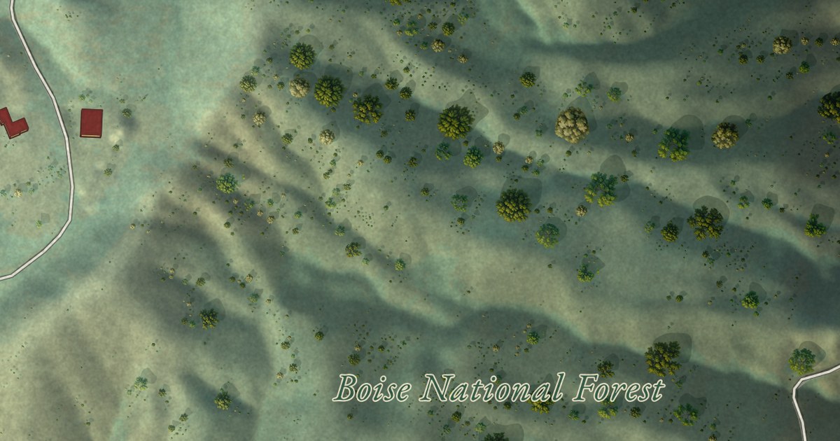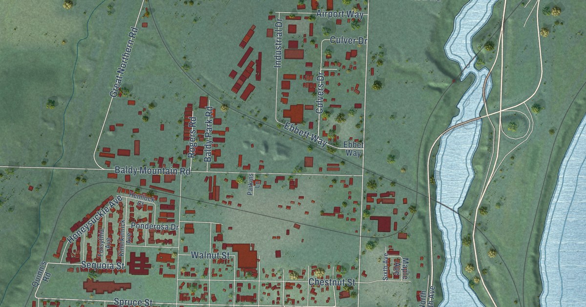
This beautifully detailed map of Sandpoint, Idaho was created in 2026 using aerial imagery combined with modern topographical, census, street and landmark data. It’s a one-of-a-kind view of Sandpoint that combines accurate data with a vintage aesthetic. The map shows every building in its true location, many of the roads carry their names, and the shaded topographic relief shows the shape of the land.
Explore an aerial view of Sandpoint, Idaho
On the map you’ll find Sandpoint City Hall and Travers Park, along with Cedar Street, North Fifth Avenue, Highway 95, Pine Street, South First Avenue, South Ella Avenue, Spruce Street, Elm Street, Schweitzer Ctf Road, North Boyer Avenue, and more. If you look closely you can even find your house accurately drawn in its correct location. Zoom in on the preview to look for yours.
Did you know this piece of Sandpoint, Idaho history?
From the 1903 Illustrated History of North Idaho: "The history of Sandpoint as a settlement dates back to the year 1880, when Robert Weeks opened a general store and dealt in furs."
Take a closer look at the Sandpoint map
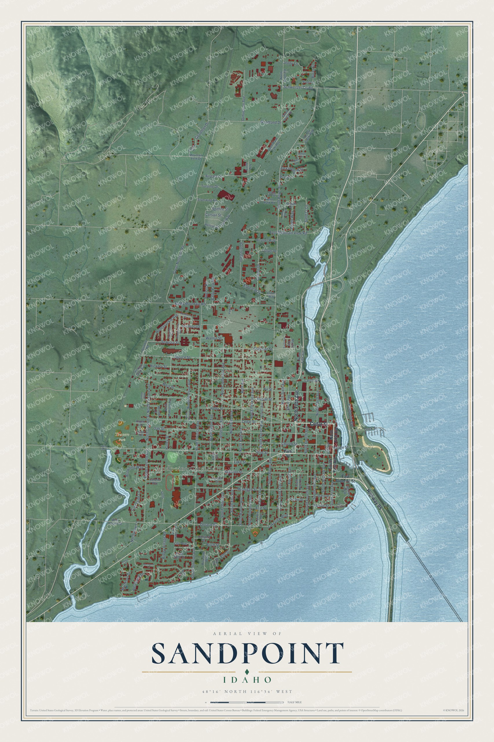
Street and place names on the Sandpoint, Idaho map
These names are printed on the map of Sandpoint, Idaho.
Places: Sandpoint City Hall and Travers Park.
Streets and roads: Cedar Street, North Fifth Avenue, Highway 95, Pine Street, South First Avenue, South Ella Avenue, Spruce Street, Elm Street, Schweitzer Ctf Road, North Boyer Avenue, South Boyer Avenue, Sequoia Street.
More street names, A to Z
Aero Park Road, Airlift Way, Airpark Lane, Airport Way, Alder Street, Alexander Way, Antone Street, Arbor Way, Ashlin Court, Aspen Lane, Aspen Way, Baldy Mountain Road, Baldy Park Road, Birch Street, Bridge Street, Browning Way, Bryce Lane, Burns Court, Chestnut Street, Church Street, Corsair Street, Creekside Lane, Culver Drive, Culvers Drive, Dock Street, East Mountain View Road, East Pacific Street, East Superior Street, Ebbett Way, Ebbet Way, Elliot Avenue, Erie Street, Euclid Avenue, Fir Street, Flying Ace Drive, Forest Avenue, Forsythia Avenue, Garden Street, Geri Court, Goodman Drive, Goodman Road, Grand View Drive, Great Northern Road, Halley Street, Hellcat Street, Hemlock Court, Hickory Glen Avenue, Hickory Street, Honeysuckle Avenue, Iberian Way, Idaho Street, Industrial Drive, Janelle Way, Jefferson Avenue, Jenny Lane, Joshua Court, Juniper Drive, Kinnikinnick Avenue, Lake Street, Lakeview Boulevard, Larch Street, Lavina Avenue, Lavinia Avenue, Lily Avenue, Louis Lane, Maddie Lane, Main Street, Maple Avenue, Mathison Drive, Michigan Street, Mountain View Drive, North Boyer Road, North Division Avenue, North Ella Avenue, North First Avenue, North Florence Avenue, North Forest Avenue, North Fourth Avenue, North Jefferson Avenue, North Lincoln Avenue, North Lincoln Street, North Madison Avenue, North Monroe Avenue, North Monroe Street, North Ruth Avenue, North Second Avenue, North Sixth Avenue, North Third Avenue, Northview Lane, Oak Street, Omni Park Taxiway, Ontario Street, Pacific Street, Parkins Lane, Plaza Lane, Ponderosa Drive, Poplar Street, Quinn's Road, Ridley Village Road, River Rock Drive, Rogers Road, Rosedale Way, Ruth Avenue, Saint Clair Avenue, Samuelson Avenue, Sand Cr Lane, Sandpoint Avenue, Shady Oak Lane, Short Avenue, Silverwing Road, Sixth Avenue, South Division Avenue, South Florence Avenue, South Fourth Avenue, South Huron Avenue, South Lincoln Avenue, South Madison Avenue, South Marion Avenue, South Olive Avenue, South Second Avenue, South Third Avenue, Spitfire Street, Spring Creek Way, Superior Street, Taxiway, Turbine Drive, Usfs, Vineyard Drive, Walnut Street, Washington Avenue, West Ontario Street, West Pine Street, West Poplar, Westwood Drive, Westwood Lane, Willow Lane, Woodland Drive.
See the Sandpoint, Idaho map on a wall
The Sandpoint map as an 18 x 24 inch print in a black frame.

This beautifully detailed map of Sandpoint makes an attractive addition to your office, library, or den, and it can even be used to teach children the geography and history of the area. It also makes a great gift for anyone who grew up in Sandpoint or moved away. When you’re done exploring, click here to get your copy of the Sandpoint map.