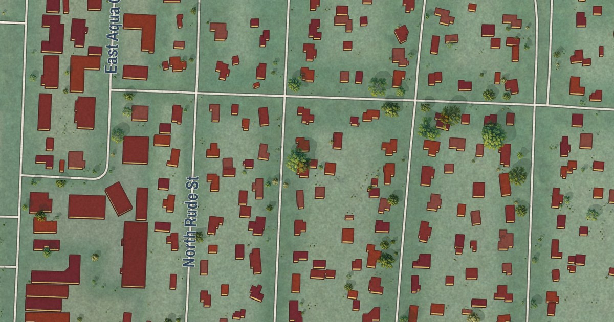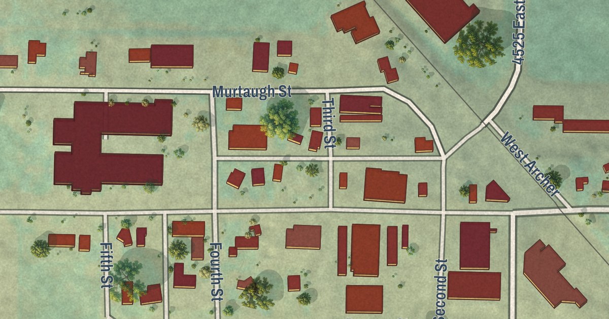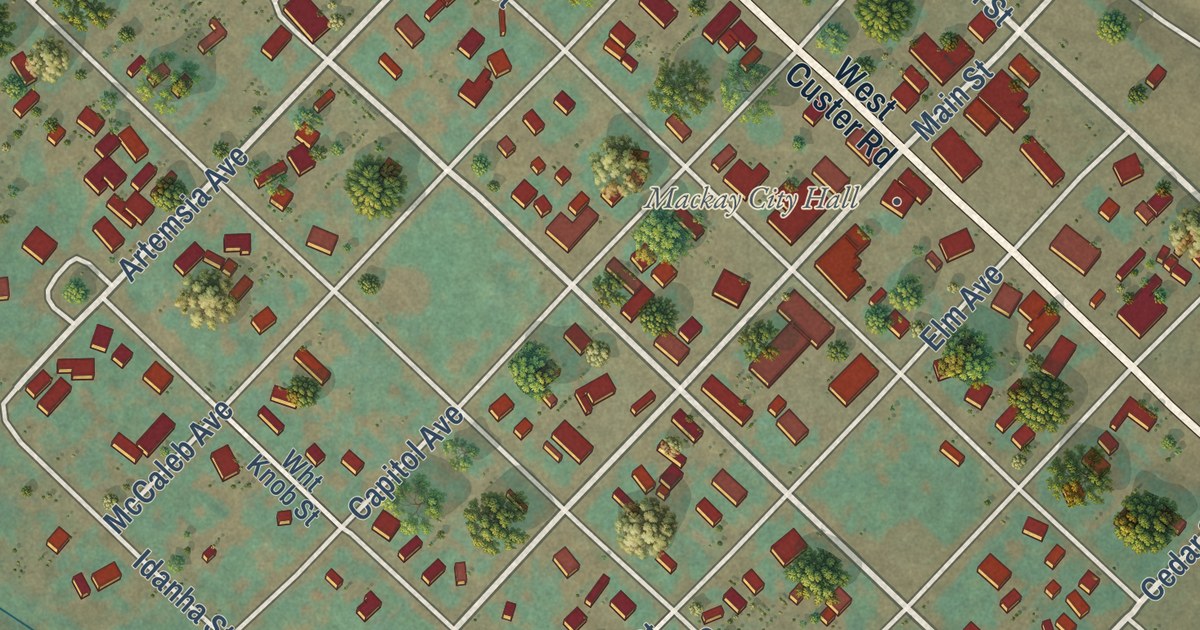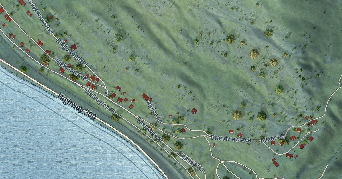
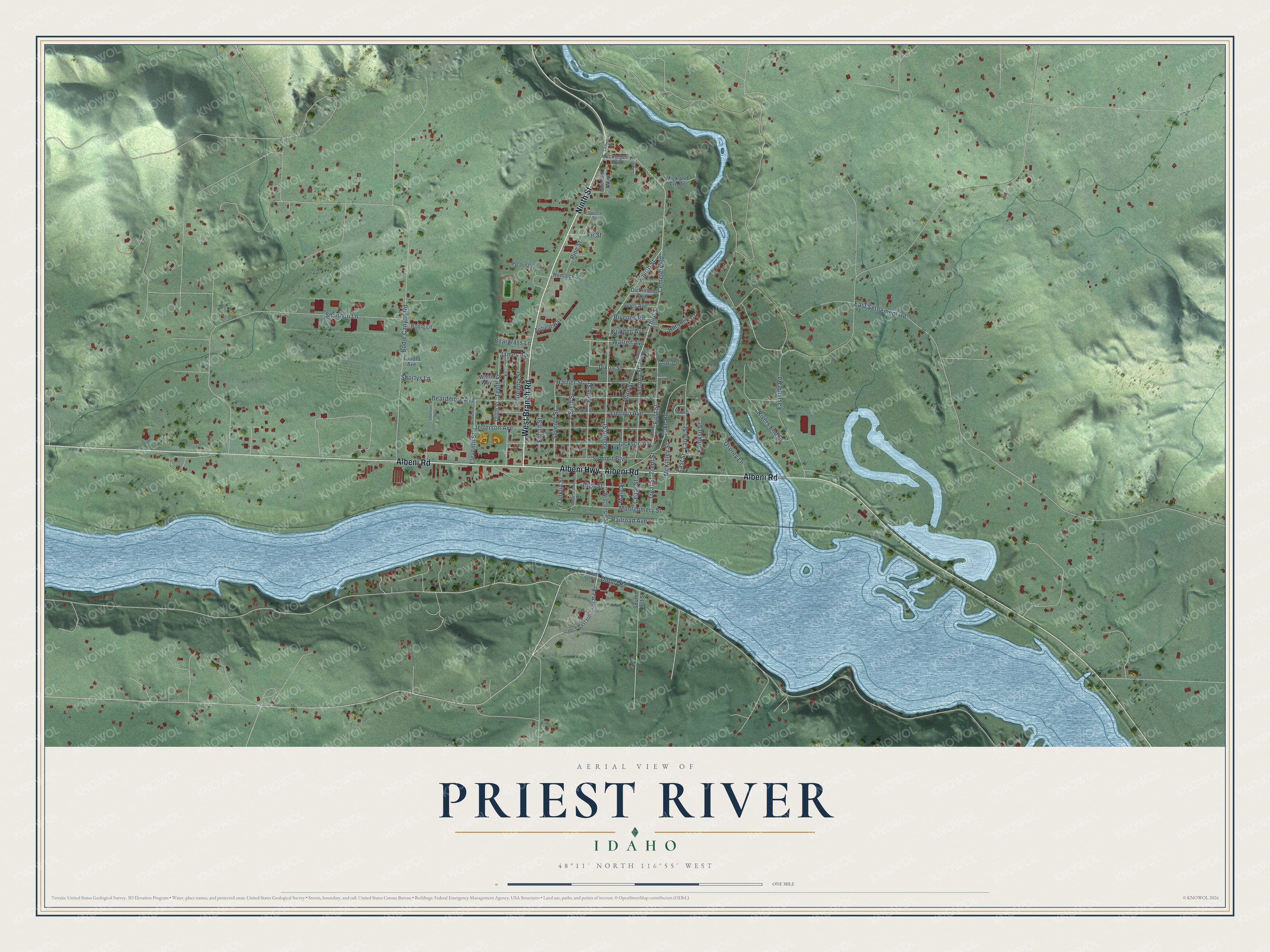
This beautifully detailed map of Priest River, Idaho was created in 2026 using aerial imagery combined with modern topographical, census, street and landmark data. It’s a one-of-a-kind view of Priest River that combines accurate data with a vintage aesthetic. The map shows every building in its true location, many of the roads carry their names, and the shaded topographic relief shows the shape of the land.
Explore an aerial view of Priest River, Idaho
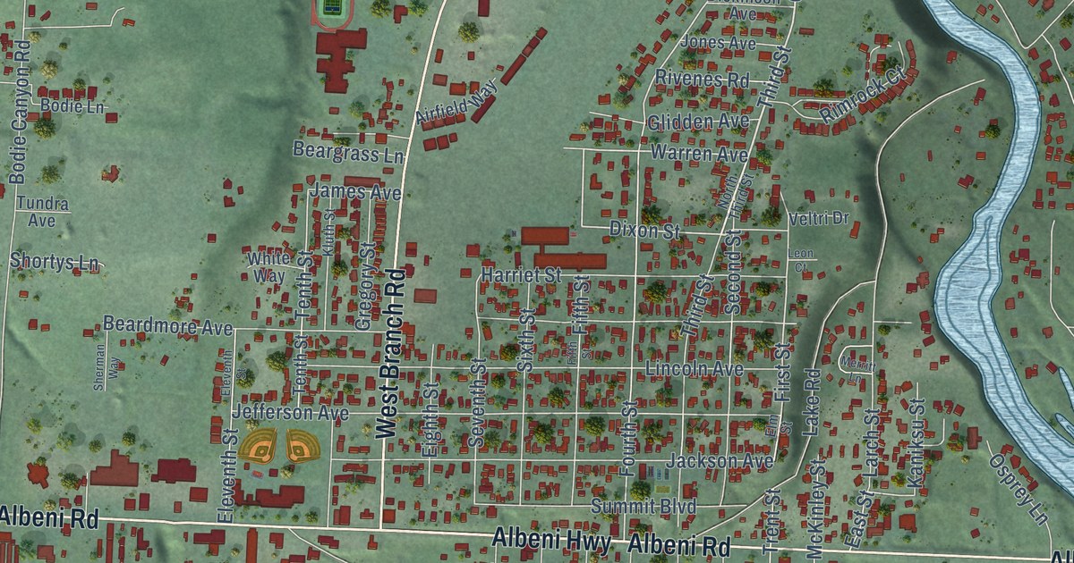
On the map you’ll find Albeni Highway, Albeni Road, Ninth Street, West Branch Road, Third Street, Cemetery Road, Second Street, Idaho Forest Industries Mill Road, Elm Street, Warren Avenue, Jefferson Avenue, Fourth Street, and more. If you look closely you can even find your house accurately drawn in its correct location. Zoom in on the preview to look for yours.
Did you know this piece of Priest River, Idaho history?
From An Illustrated History of North Idaho: "Priest River is the natural center or outlet of a heavily timbered section of country lying to the north. Several years ago a sawmill was built here, but only during the past two years has the development of the lumber industry been pushed with vigor and earnestness."
Take a closer look at the Priest River map
Street names on the Priest River, Idaho map
These names are printed on the map of Priest River, Idaho.
Streets and roads: Albeni Highway, Albeni Road, Ninth Street, West Branch Road, Third Street, Second Street, Cemetery Road, Warren Avenue, Fifth Street, Dixon Street, Fourth Street, First Street.
More street names, A to Z
Airfield Way, Beardmore Avenue, Beargrass Lane, Bodie Canyon Road, Bodie Lane, Cedar Street, Cemetarty Road, Dickinson Avenue, Dufort Road, East Settlement Road, Eastside Road, East Street, Eighth Street, Eleventh Street, Elm Street, Fir Street, Franklin Street, Glidden Avenue, Gregory Street, Grimaldi Way, Harriet Street, Hemlock Street, High Street, Huckleberry Avenue, Idaho Forest Industries Mill Road, Jackson Avenue, James Avenue, Jefferson Avenue, Jones Avenue, Kaniksu Street, Kluth Street, Lake Road, Larch Street, Leon Court, Lincoln Avenue, Macdonald Lane, Main Street, McKinley Street, Merritt Lane, Mick and Ern Drive, Montgomery Street, North Third Street, Old Priest River Road, Osprey Lane, Pine Street, Railroad Avenue, Rimrock Court, Rivenes Road, Rivers End Drive, Saccs Lane, Seventh Street, Shannon Lane, Sherman Way, Shortys Lane, Sixth Street, South First Street, Spruce Street, Summit Boulevard, Tenth Street, Treat Street, Trent Street, Tundra Avenue, Veltri Drive, Washington Avenue, White Way, Wisconsin Street.
See the Priest River, Idaho map on a wall
The Priest River map as an 18 x 24 inch print in a black frame.

This beautifully detailed map of Priest River makes an attractive addition to your office, library, or den, and it can even be used to teach children the geography and history of the area. It also makes a great gift for anyone who grew up in Priest River or moved away. When you’re done exploring, click here to get your copy of the Priest River map.