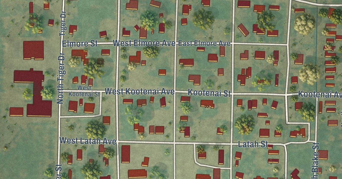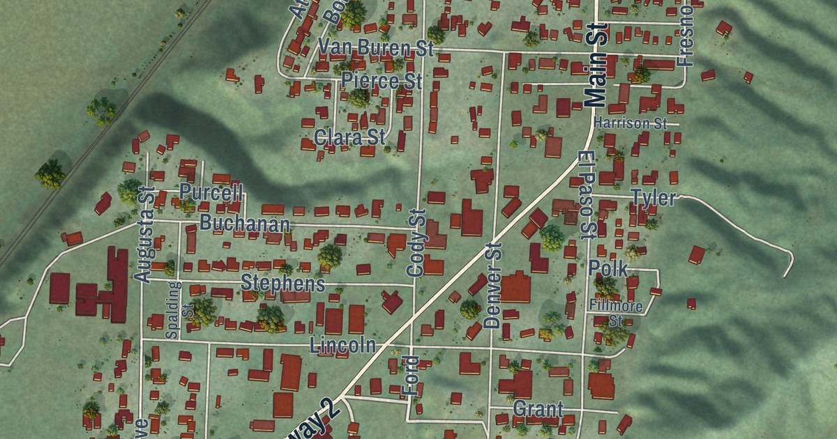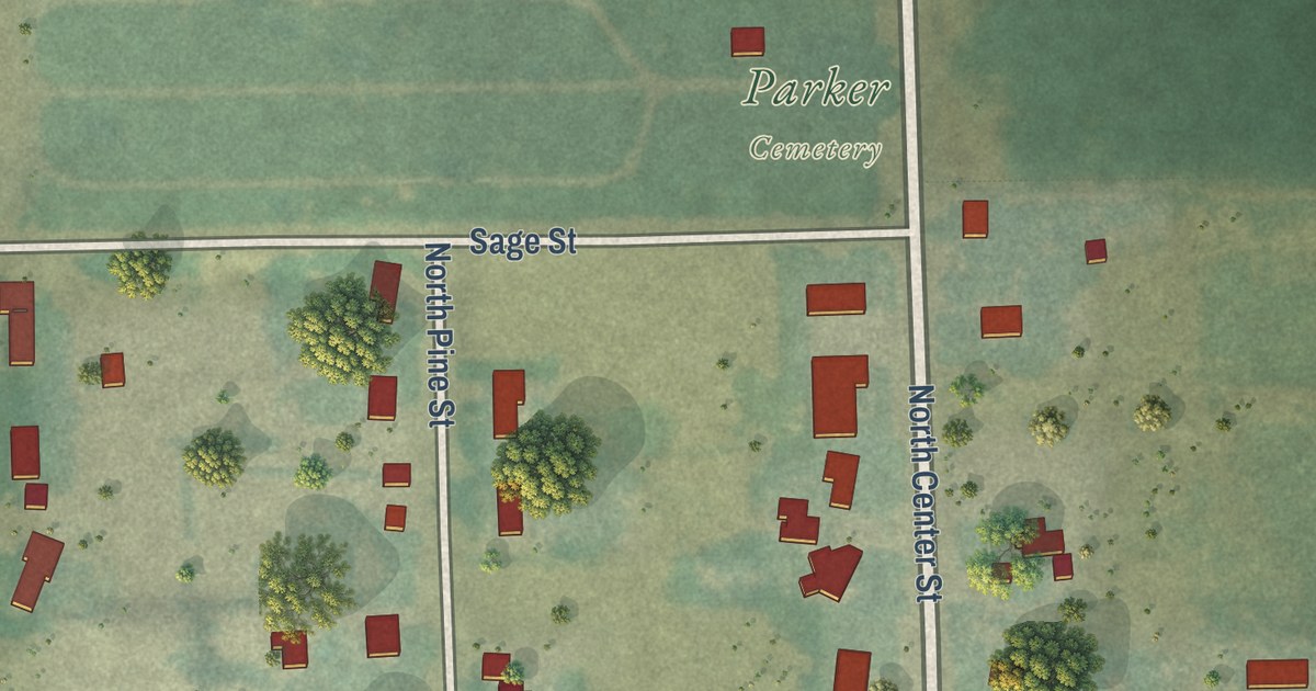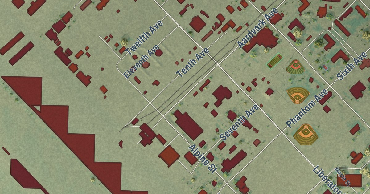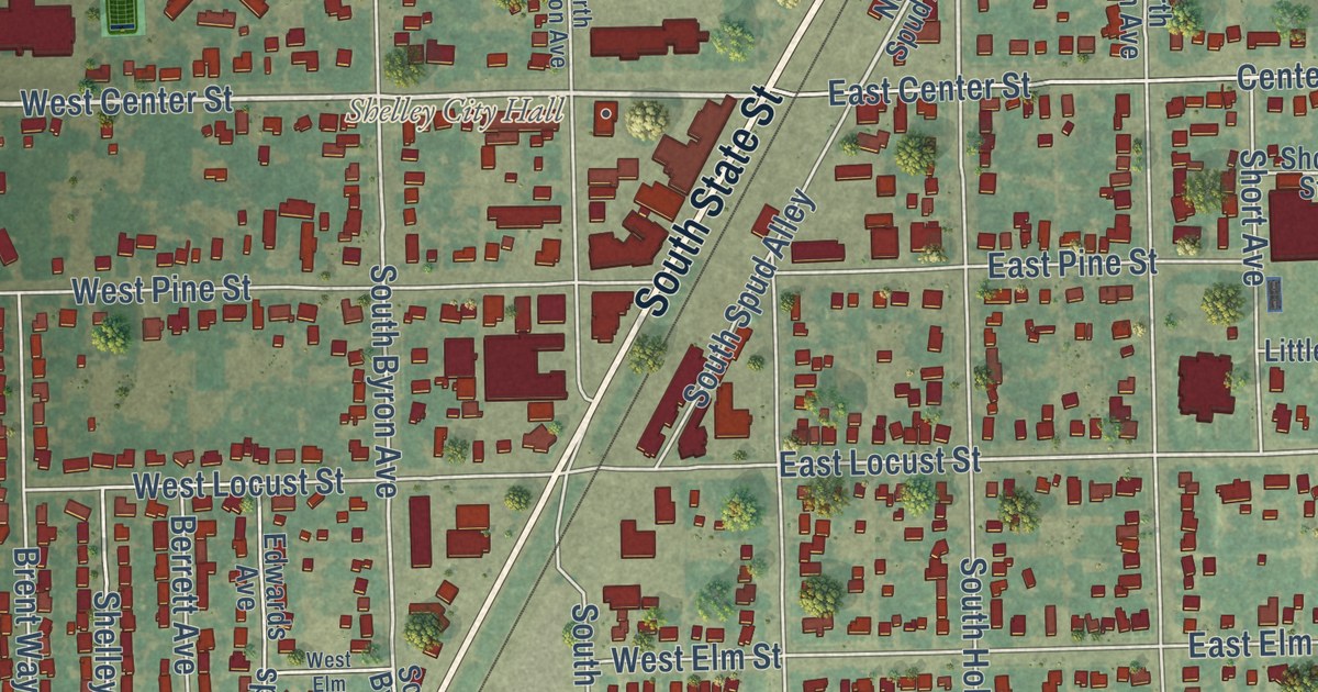
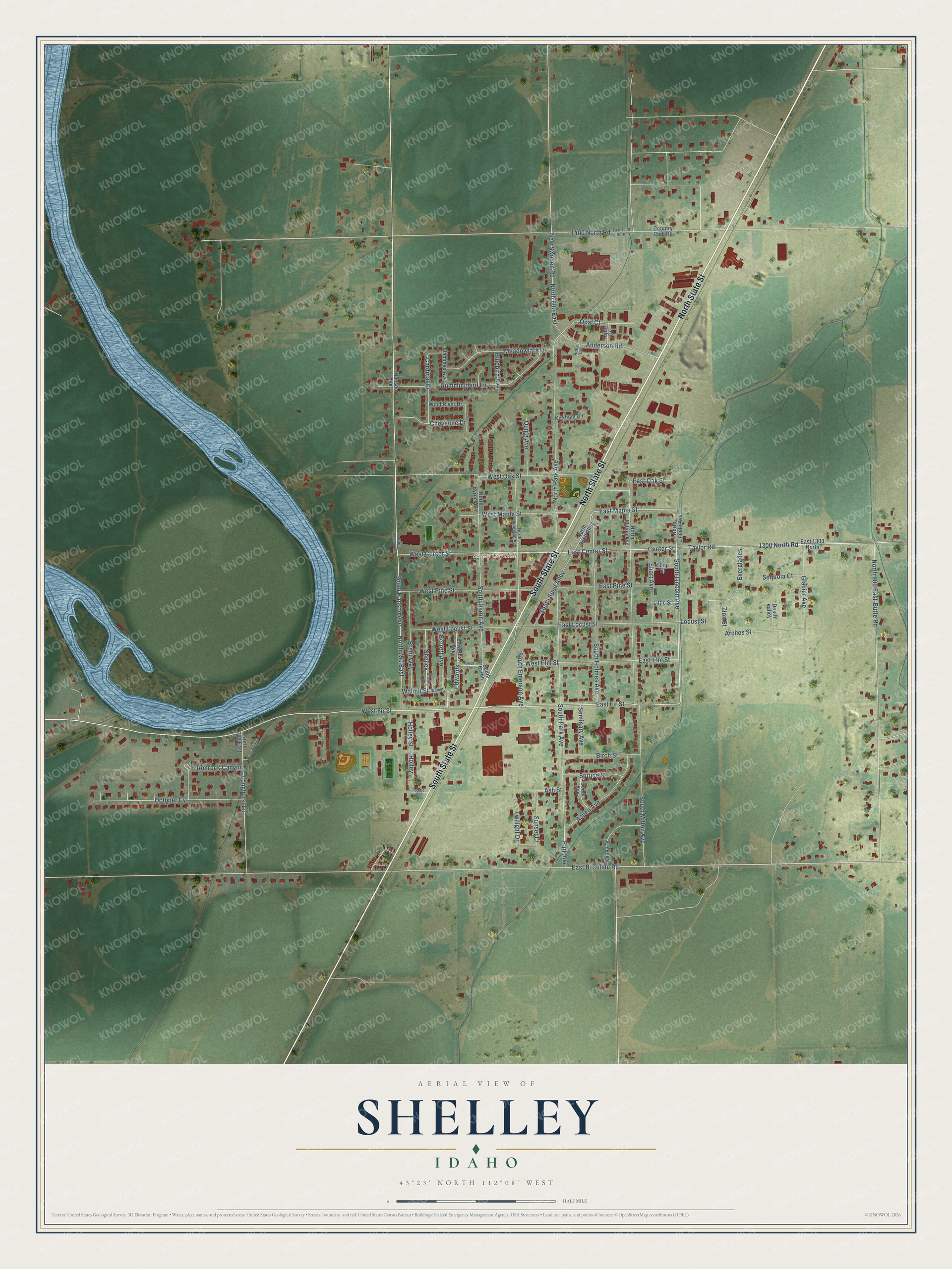
This beautifully detailed map of Shelley, Idaho was created in 2026 using aerial imagery combined with modern topographical, census, street and landmark data. It’s a one-of-a-kind view of Shelley that combines accurate data with a vintage aesthetic. The map shows every building in its true location, many of the roads carry their names, and the shaded topographic relief shows the shape of the land.
Explore an aerial view of Shelley, Idaho
On the map you’ll find Shelley City Hall, October Cv, and Edwards, along with North State Street, South State Street, South Lincoln Avenue, East Fir Street, East Maple Street, West Fir Street, West Center Street, East Baseline Road, North Spud Alley, and more. If you look closely you can even find your house accurately drawn in its correct location. Zoom in on the preview to look for yours.
Did you know this piece of Shelley, Idaho history?
From the City of Shelley: "John F. Shelley was especially impressed with the area ten miles south of Idaho Falls. Several times he had made trips to this area and could see the possibilities of the land and the prospects for water with which to irrigate it."
Take a closer look at the Shelley map
Street and place names on the Shelley, Idaho map
These names are printed on the map of Shelley, Idaho.
Places: Shelley City Hall.
Streets and roads: North State Street, South State Street, South Lincoln Avenue, East Fir Street, East Maple Street, West Fir Street, West Center Street, East Baseline Road, October Cv, Edwards, Park Avenue, Locust Street.
More street names, A to Z
1300 North Road, 1400 North Road, Anderson Road, Arches Street, Ash Street, Aspen Avenue, Berrett Avenue, Birch Street, Bluebird Avenue, Brent Way, Butte Road, Cardinal Drive, Cedar Avenue, Center Street, Cheyenne Drive, Country Club Road, Death Valley, East 1300 North, East 1400 North, East Center Street, East Elm Street, East Locust Street, East Oak Street, East Pine Street, Edwards Avenue, Everglades, Flamingo Avenue, Glacier Avenue, Hanson Avenue, Holley, Holley Street, Hummingbird Lane, Kelley Drive, Kirkham Circle, Little Street, Longhurst Lane, Meadowlark Drive, New Sweden Road, North 700 East, North 750 East, North 800 East, North 900 East, North Byron Avenue, North Emerson Avenue, North Hanson Avenue, North Lincoln Avenue, North Milton Avenue, North Park Avenue, North Spud Alley, Opal Court, Quigg Avenue, Rimrock Canyon, River Pointe Lane, Robald Street, Ruby Circle, Seminary Avenue, Sequoia Court, Shelley, Shelley Avenue, Shop Street, Short Avenue, South Byron, South Byron Avenue, South Emerson Avenue, South Hanson Avenue, South Holmes Avenue, South Milton Avenue, South Park Avenue, South Spud Alley, Spruce Street, Sunset Court, Taylor Road, Topaz Drive, Twilight Drive, Walnut, Walnut Street, West Elm, West Elm Street, West Locust Street, West Maple Street, West Oak Street, West Pine Street, Wind River Drive, Zion Street.
See the Shelley, Idaho map on a wall
The Shelley map as an 18 x 24 inch print in a black frame.

This beautifully detailed map of Shelley makes an attractive addition to your office, library, or den, and it can even be used to teach children the geography and history of the area. It also makes a great gift for someone who left Shelley and still calls it home. When you’re done exploring, click here to get your copy of the Shelley map.