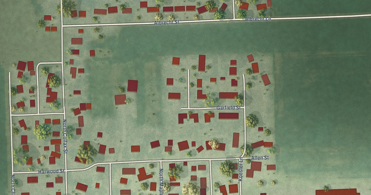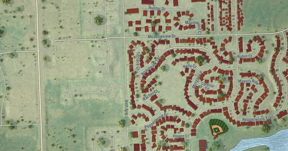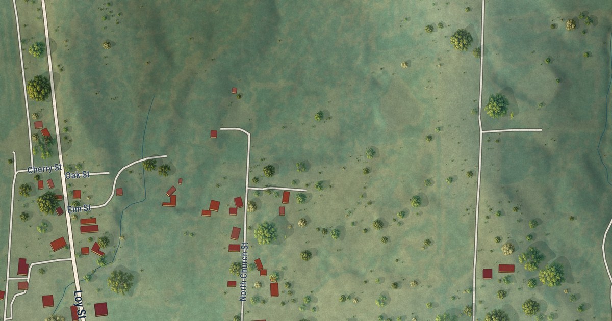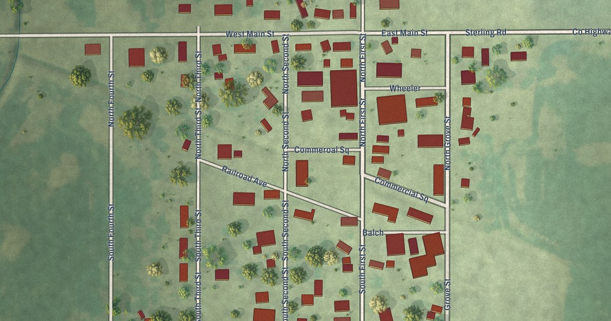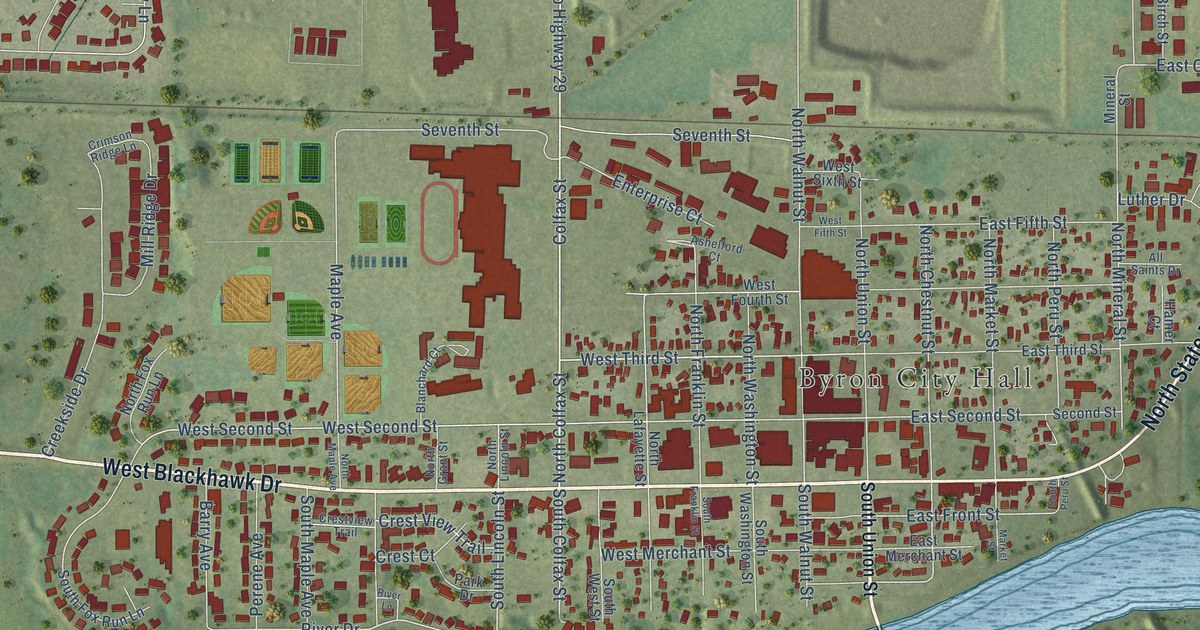
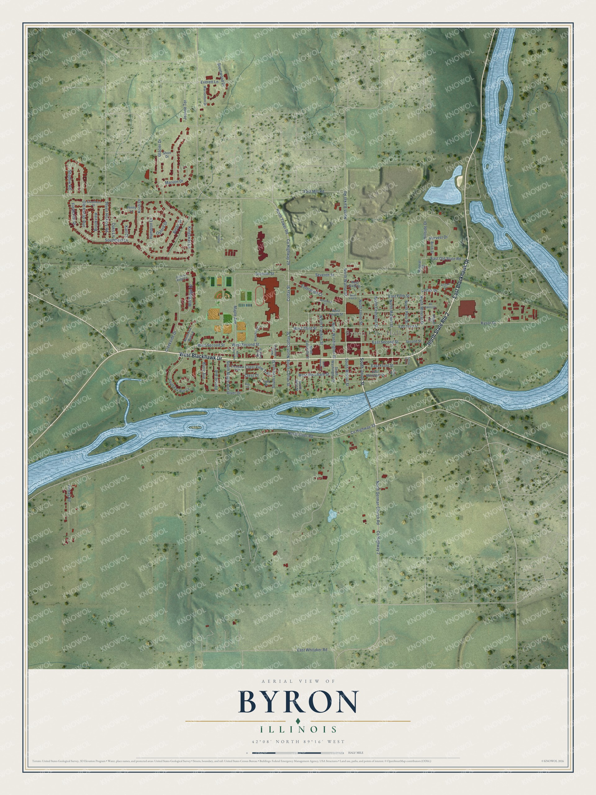
This beautifully detailed map of Byron, Illinois was created in 2026 using aerial imagery combined with modern topographical, census, street and landmark data. It's a modern aerial view of Byron in Ogle County, Illinois, that combines modern data with a vintage aesthetic. The roads feature printed names, and if you look closely you can find your exact house accurately shown in its correct location.
Explore an aerial view of Byron, Illinois
On this map you'll find Byron City Hall, West Blackhawk Drive, East Blackhawk Drive, North Colfax Street, Co Highway 29, West Third Street, South Colfax Street, North German Church Road, River Drive, West Second Street, Southfield Lane, Maple Avenue, and more. Each red shape is a building, so zoom in on the preview and look for yours.
Byron is a city in Ogle County. The Census Bureau counted 3,784 people here in 2020. The map prints the town name in its title panel, with the coordinates below it.
Take a closer look at the Byron map
Names on this map
These names are printed on this map.
Places: Byron City Hall.
Streets and roads: West Blackhawk Drive, East Blackhawk Drive, North State Route 2, North Colfax Street, County Highway 29, West Third Street, South Colfax Street, North German Church Road, River Drive, West Second Street, Southfield Lane, Maple Avenue.
More street names, A to Z
Allison Circle, All Saints Drive, Ashelford Court, Barry Avenue, Belair Drive, Birch Street, Blanchard Court, Brentwood Drive, Brookview, Colfax Street, County Highway 2, County Highway 33, Creekside Drive, Crest Court, Crest View Trail, Crestview Trail, Crimson Ridge Lane, East Fifth Street, East Front Street, East Merchant Street, East Mill Road, East Old State Road, East Second Street, East Third Street, East Whitaker Road, Enterprise Court, Everett Lane, Fieldcrest Drive, Friday Road, Glacier Drive, Hamer Court, Hampton Drive, Harvest Drive, Hillside Drive, Joanne Terrace, Karl Court, Kingsway Lane, Kristi Drive, Kysor Drive, Luther Drive, Marijon Drive, Market Street, Mill Ridge Drive, Mineral Street, North Barker Road, North Chestnut Street, North Fox Run Lane, North Franklin Street, North Grant Street, North Lafayette Street, North Lincoln Street, North Maple Avenue, North Market Street, North Mineral Street, North Peru Street, North River Road, North Tower Road, North Union Street, North Walnut Street, North Washington Street, Oaks Lane, Old Hunter Run, Oxford Drive, Park Drive, Penny Lane, Perene Avenue, Rabine Drive, River Lane, Second Street, Seven Hickory Road, Seventh Street, Shadow Road, Short Drive, Silverthorn Drive, South Fox Run Lane, South Franklin Street, South Lincoln Street, South Maple Avenue, South Peru Street, South Union Street, South Walnut Street, South Washington Street, South West Street, Warrenton Drive, West Fifth Street, West Fourth Street, West Merchant Street, West Sixth Street.
Created by KNOWOL in 2026. The buildings are small red shapes, the roads carry their printed names, and shaded relief shows the shape of the land. The title panel reads "AERIAL VIEW OF BYRON ILLINOIS" with 42°08' NORTH 89°16' WEST.
Hang it in the hallway, the office or the cabin, or give it to someone who left Byron and still calls it home. Open the preview and look for a street you know. See sizes and frames for the Byron map.