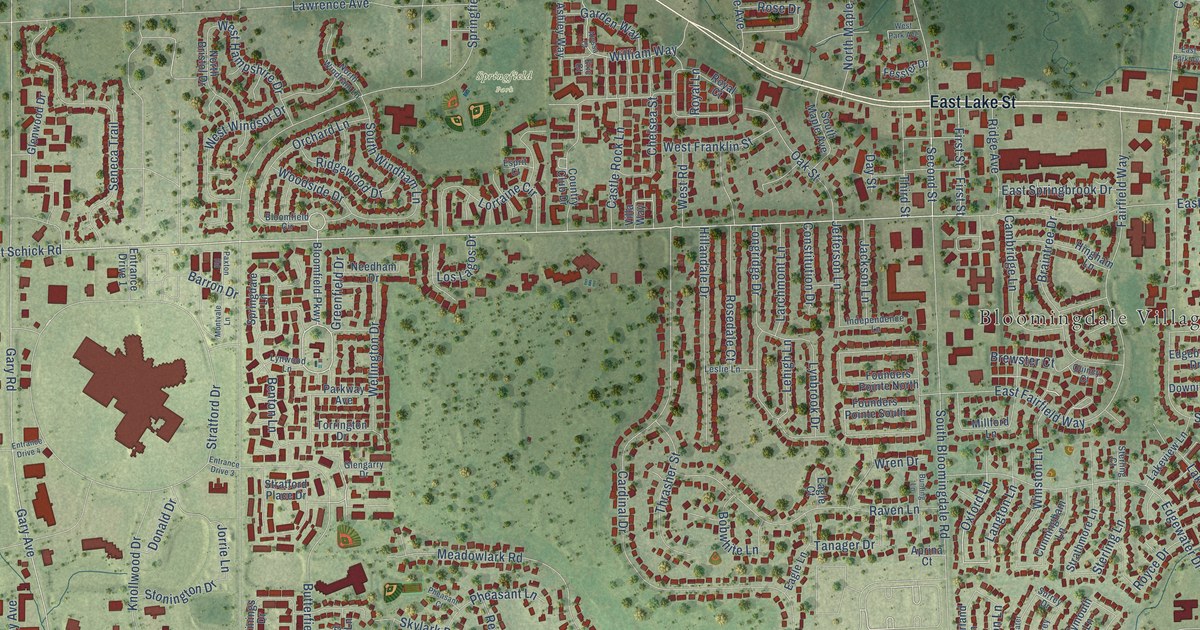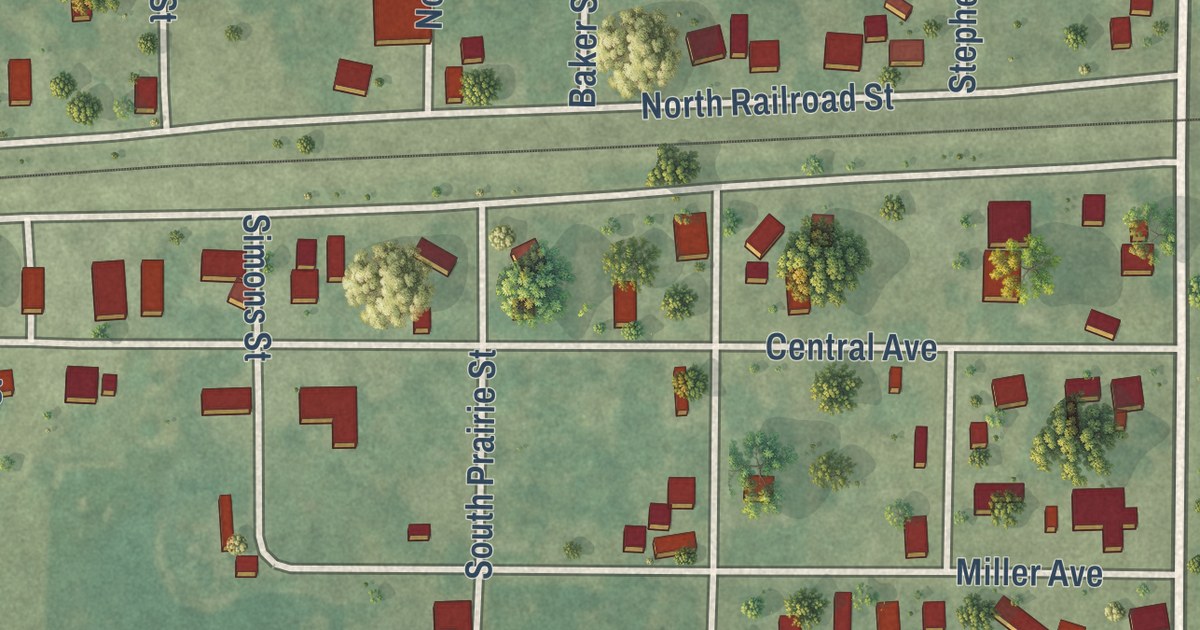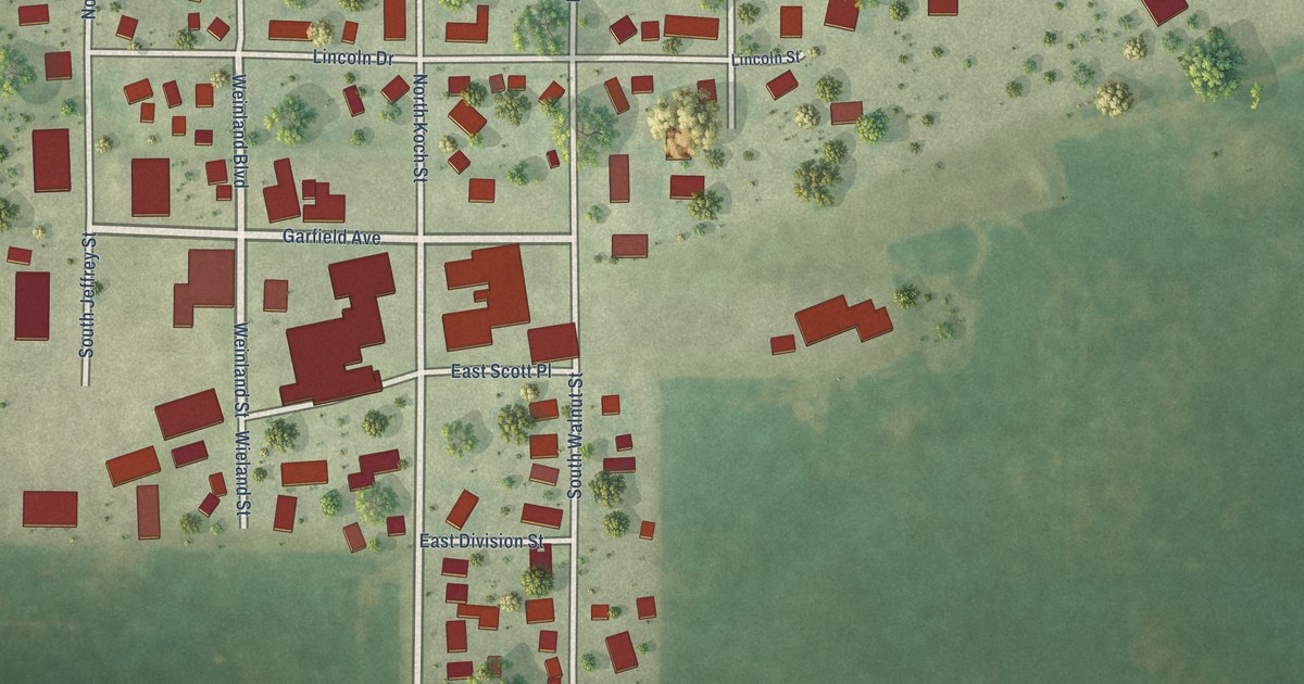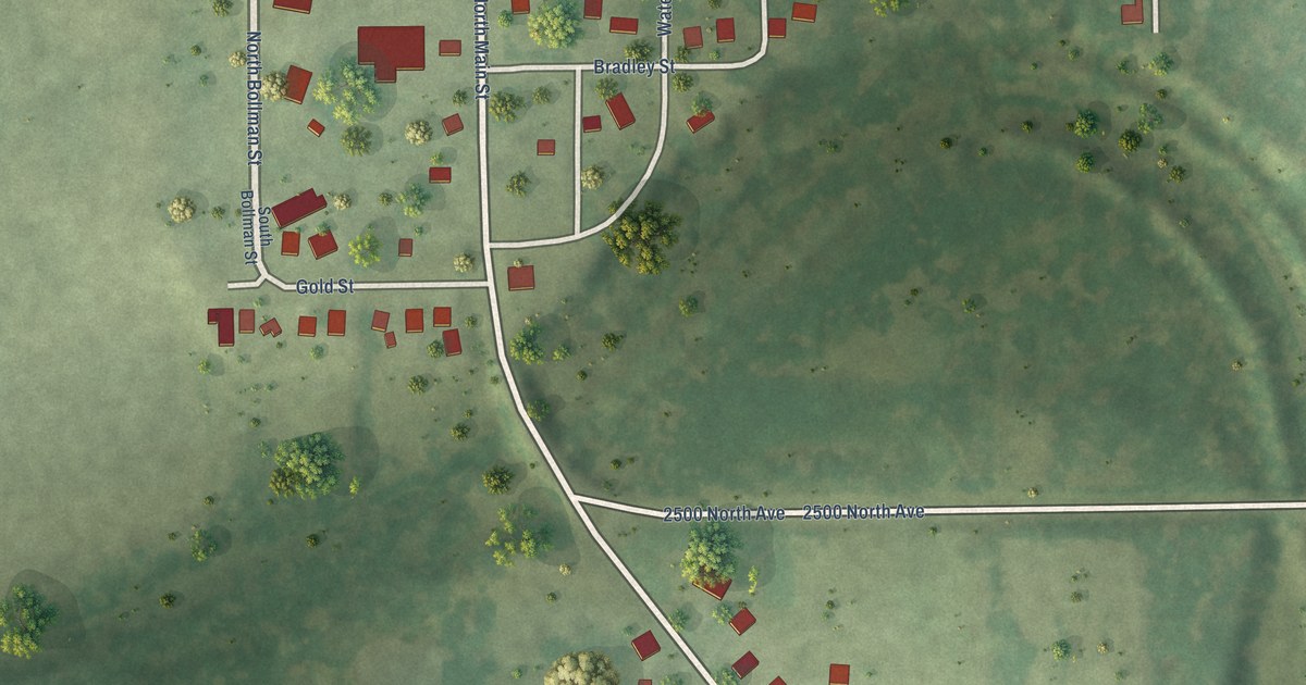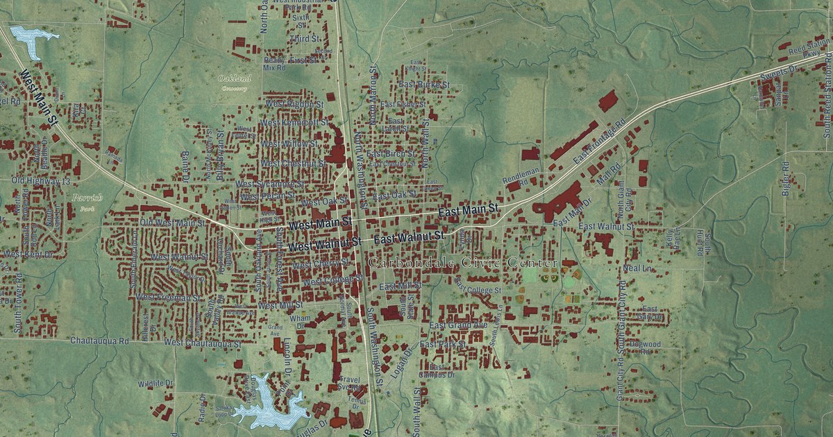
This beautifully detailed map of Carbondale, Illinois was created in 2026 using aerial imagery combined with modern topographical, census, street and landmark data. It’s a one-of-a-kind view of Carbondale that combines accurate data with a vintage aesthetic. The map shows every building in its true location, many of the roads carry their names, and the shaded topographic relief shows the shape of the land.
Explore an aerial view of Carbondale, Illinois
On the map you’ll find Carbondale Civic Center, Southern Hills, Oakland Cemetery, and Parrish Park, along with Evergreen Terrace, West Main Street, East Main Street, South Illinois Avenue, North Illinois Avenue, West Walnut Street, East Walnut Street, Old Highway 13, and more. If you look closely you can even find your house accurately drawn in its correct location. Zoom in on the preview to look for yours.
Did you know this piece of Carbondale, Illinois history?
From the Historical Encyclopedia of Illinois: "CARBONDALE, a city in Jackson County, founded in 1852, 57 miles north of Cairo, and 91 miles from St. Louis."
Take a closer look at the Carbondale map
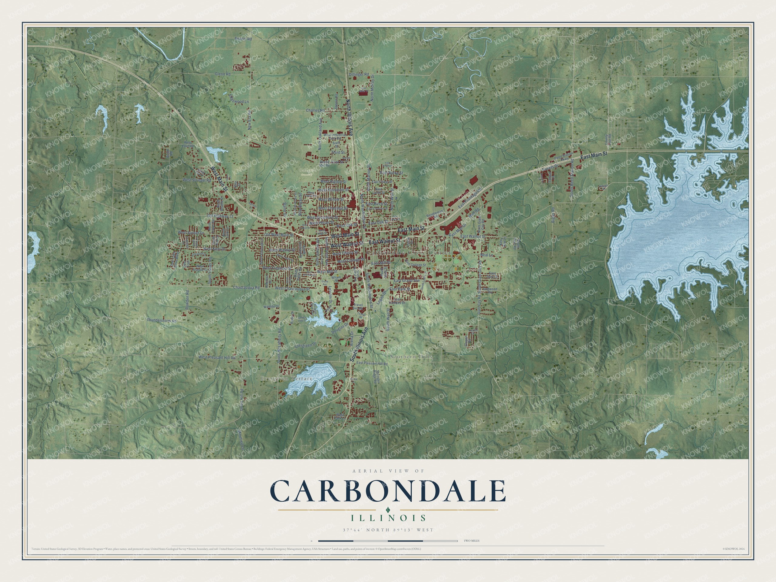
Street and place names on the Carbondale, Illinois map
These names are printed on the map of Carbondale, Illinois.
Places: Carbondale Civic Center, Evergreen Terrace, Southern Hills, Oakland Cemetery and Parrish Park.
Streets and roads: West Main Street, East Main Street, South Illinois Avenue, North Illinois Avenue, West Walnut Street, East Walnut Street, Old Highway 13, South Reed Station Road, Dillinger Road, West Chautauqua Street, Douglas Drive, North Marion Street.
More street names, A to Z
Airport Road, Appolo Road, Arena Drive, Arnold Lane, Baine Drive, Bigler Road, Billy Bryan Street, Charles Road, Chautauqua Road, County Line Road, Deer Lake Drive West, Deer Trail, Diann Lane, Dogwood Road, Douglas Drive East, East Birch Street, East Burke Street, East Campus Drive, East Chestnut Street, East College Street, East Fisher Street, East Frontage Road, East Gary Drive, East Grand Avenue, East Green Street, East Knight Street, East Larch Street, East Mall Drive, East Miller Court, East Mill Street, East Oak Street, East Park Street, East Pleasant Hill Road, Edgewood Lane, Evergreen Drive, First Street, Frances Lane, Giant City Road, Glenn Road, Glopen Road, Grand Avenue, Grand Oak Drive, Harmony Lane, Hillcrest Drive, Kelly Rae Lane, Kira Court, Lincoln Drive, Logan Drive, Lynda Drive, Mall Road, Minetree Lane, Neal Lane, New Era Road, North Beadle Drive, North Giant City Road, North Lark Lane, North McKinley Street, North McRoy Drive, North Oakland Avenue, North Tower Road, North Wall Street, North Washington Street, Old West Main Street, Pinewood Drive, Point Drive, Radio Drive, Ramada Lane, Ready Mix Road, Reed Station Parkway, Rendleman Road, Rowden Road, Saluka Loop Drive, Sanpat Lane, Second Street, Sixth Street, South Emerald Lane, South Forest Avenue, South Giant City Road, South Hunt Road, South James Street, South Lewis Lane, South McLafferty Road, South Normal Avenue, South Oakland Avenue, South Orchard Drive, South Rod Lane, South Skyline Drive, South State Street, South Tower Road, South Valley Road, South Violet Lane, South Wall Street, South Washington Street, Springer Ridge Road, Sweets Drive, Tennis Drive, Third Street, Thunderstorm Road, Travel Svc Road, Union Hill Road, Vercliff Drive, Village Drive, West Alveria Drive, West Cherry Street, West Chestnut Street, West College Street, West Freeman Street, West High Street, West Industrial Park Road, West Kennicott Street, West Kent Drive, West Lake Road, West Laurel Street, West Linden Street, West Mill Street, West Oak Street, West Park Lane, West Pecan Street, West Pleasant Hill Road, West Rigdon Street, West Striegel Road, West Sunset Drive, West Sycamore Street, West Taylor Drive, West Walkup Avenue, West Willow Street, Wham Drive, Wildlife Drive, Wood Road.
See the Carbondale, Illinois map on a wall
The Carbondale map as an 18 x 24 inch print in a black frame.

This beautifully detailed map of Carbondale makes an attractive addition to your office, library, or den, and it can even be used to teach children the geography and history of the area. It also makes a great gift for anyone with Carbondale roots. When you’re done exploring, click here to get your copy of the Carbondale map.