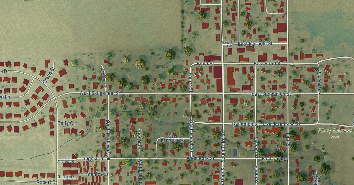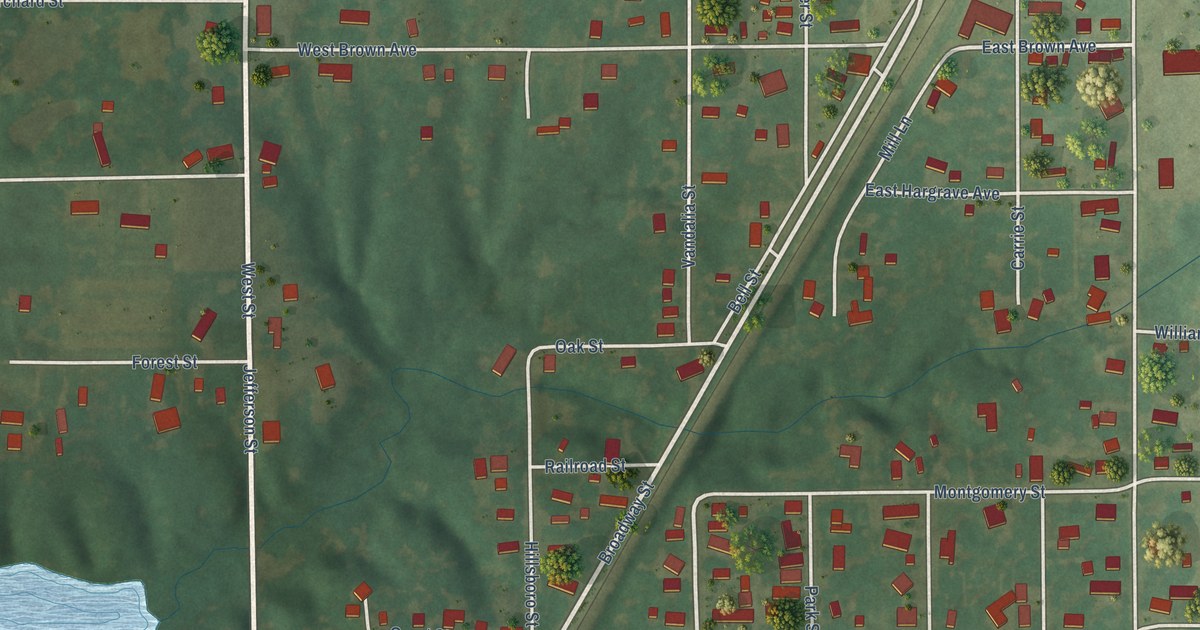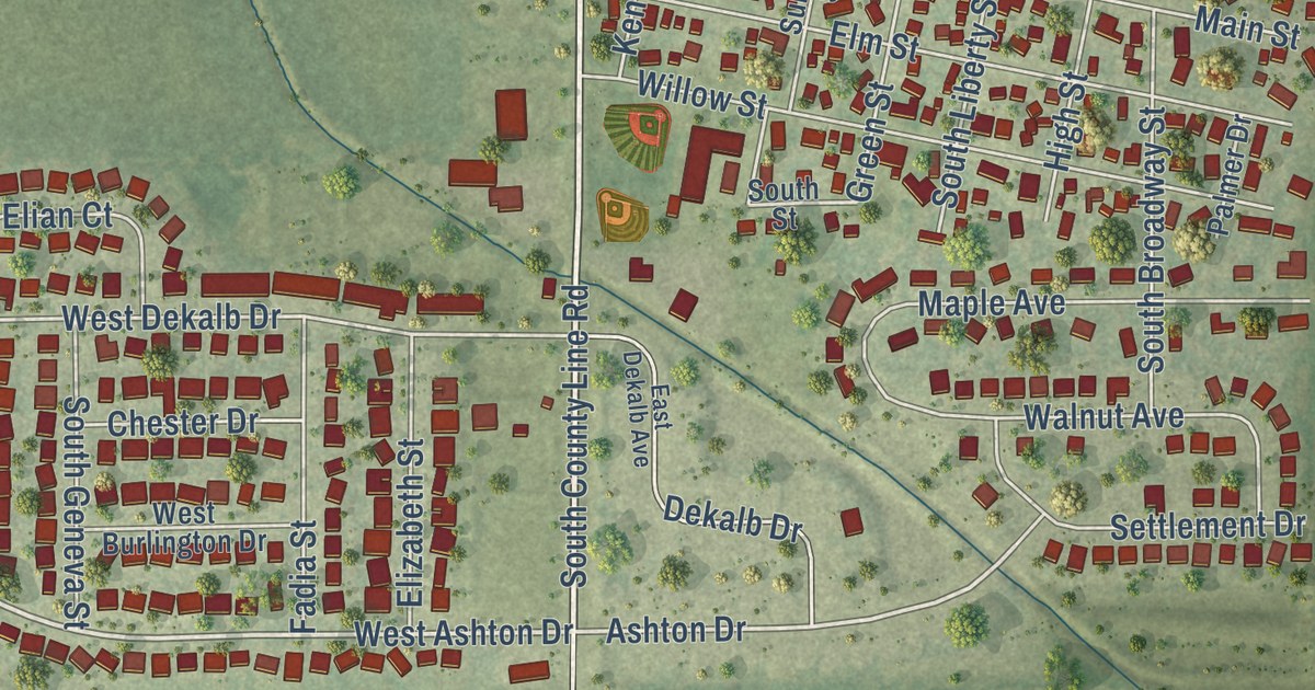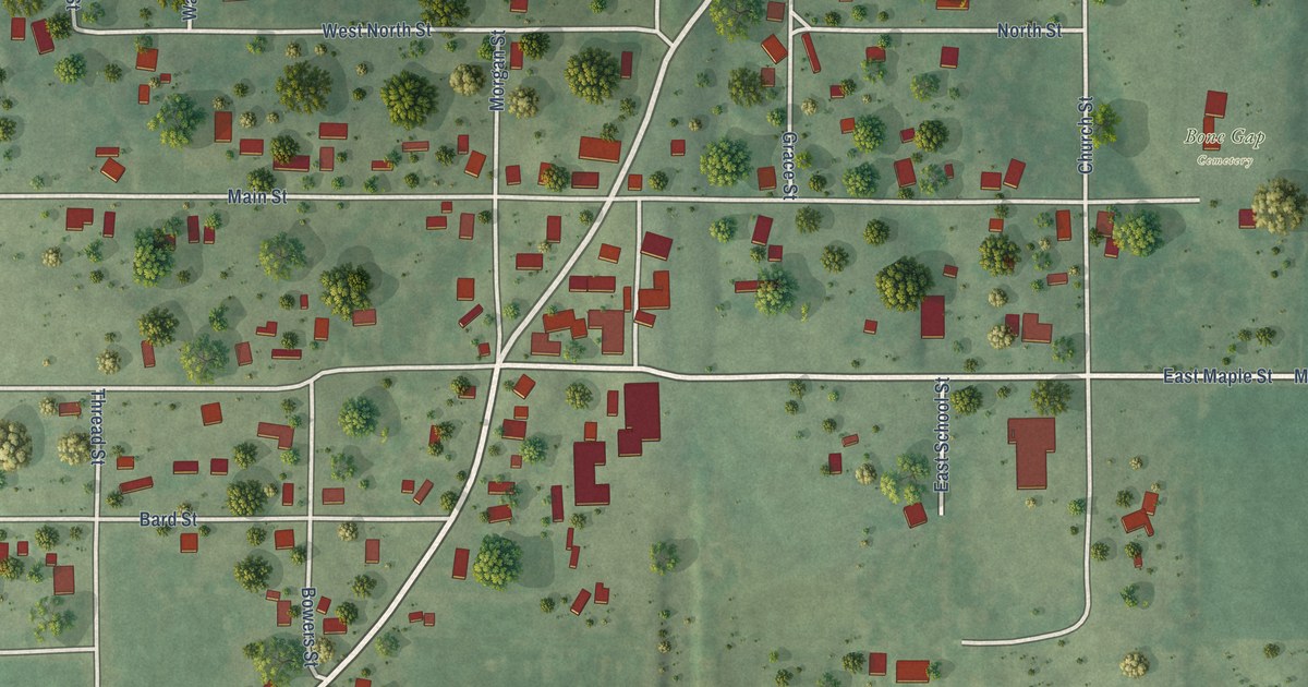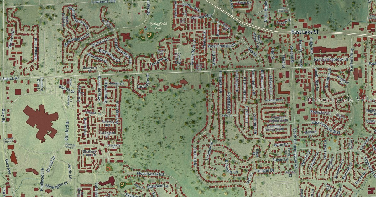
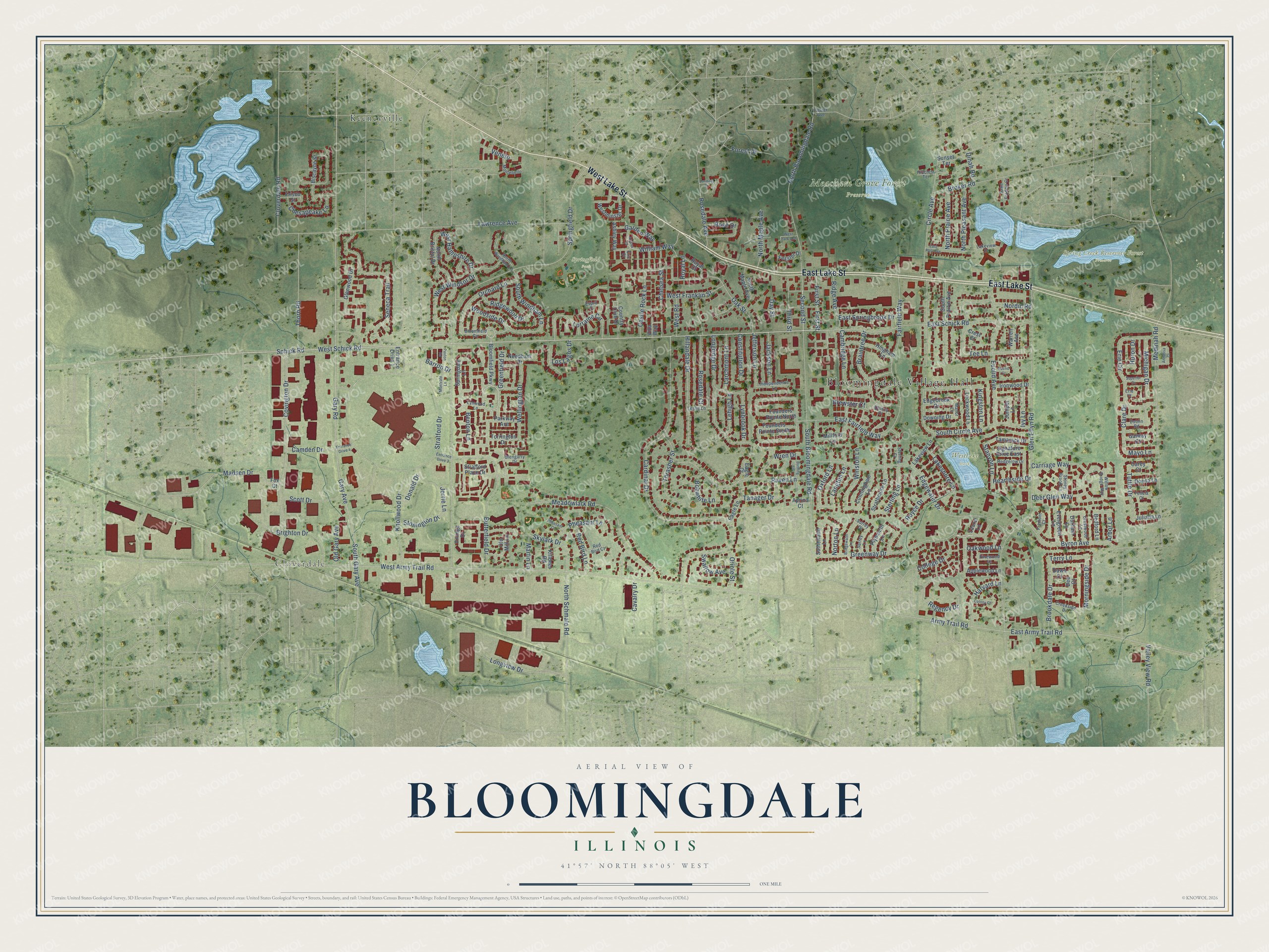
This beautifully detailed map of Bloomingdale, Illinois was created in 2026 using aerial imagery combined with modern topographical, census, street and landmark data. It’s a one-of-a-kind view of Bloomingdale that combines accurate data with a vintage aesthetic. The map shows every building in its true location, many of the roads carry their names, and the shaded topographic relief shows the shape of the land.
Explore an aerial view of Bloomingdale, Illinois
On the map you’ll find Bloomingdale Village Hall, Cloverdale, Meacham Grove Forest Preserve, Spring Creek Reservoir Forest Preserve, Springfield Park, Westlake Park, and Keeneyville, along with West Lake Street, East Lake Street, West Schick Road, East Schick Road, Oxford Lane, and more. If you look closely you can even find your house accurately drawn in its correct location. Zoom in on the preview to look for yours.
Did you know this piece of Bloomingdale, Illinois history?
From the DuPage County ILGenWeb: "Silas Meacham, Lyman Meacham, and Harvey Meacham, were the first settlers of this town."
Take a closer look at the Bloomingdale map
Street and place names on the Bloomingdale, Illinois map
These names are printed on the map of Bloomingdale, Illinois.
Places: Bloomingdale Village Hall, Cloverdale, Meacham Grove Forest Preserve, Spring Creek Reservoir Forest Preserve, Springfield Park, Westlake Park and Keeneyville.
Streets and roads: West Lake Street, East Lake Street, West Schick Road, East Schick Road, Oxford Lane, Royal Lane, Second Street, Langton Lane, West Army Trail Road, Springfield Drive, Gary Road, Gary Avenue.
More street names, A to Z
Alyssa Court, Annalisa Court, Applewood Lane, Aprina Court, Arbor Lane, Army Trail Road, Ashley Way, Barron Drive, Bedford Lane, Benton Lane, Biscayne Street, Bloomfield Circle, Bloomfield Parkway, Bobwhite Lane, Braintree Drive, Brewster Court, Bridgewater Lane, Brighton Drive, Broker Road, Brookdale Drive, Bunting Lane, Butterfield Drive, Byron Avenue, Cambridge Lane, Camden Drive, Cardinal Drive, Carey Court, Carmela Court, Carriage Way, Castle Rock Lane, Cavalry Drive, Chelsea Street, Chesapeake Lane, Circle Avenue, Clare Drive, Cloverdale Road, College Drive, Colony Court, Constitution Drive, Country Club Drive, Covington Drive, Creekside Drive, Crest Court, Crestwood Lane, Cunningham Lane, Dawn Court, Day Street, Dee Court, Deer Glen Way, Dinah Road, Donald Drive, Donna Lane, Downing Drive, Dublin Road, Durham Lane, Eagle Court, Eagle Lane, East Army Trail Road, East Fairfield Way, East Park Avenue, East Springbrook Drive, Edgebrook Drive, Edgewater Drive, Entrance Drive 1, Entrance Drive 3, Entrance Drive 4, Eric Court, Erie Circle, Erie Court, Esprit Court, Euclid Avenue, Euclid Court, Evergreen Lane, Fairfield Way, Felicia Court, Fessler Drive, First Street, Forest Drive, Foster Avenue, Founders Pointe North, Founders Pointe South, Fox Court, Fremont Court, Frisco Street, Galway Court, Garden Way, Glen Ellyn Road, Glengarry Drive, Glenwood Drive, Greenfield Drive, Greenway Drive, Harvard Lane, Hearthside Drive, Hedgerow Drive, Hillandale Drive, Hillcrest Terrace, Hingham Lane, Huron Drive, Independence Lane, Ironwood Drive, Ivy Lane, Jackson Lane, Jefferson Lane, Jorrie Lane, Juliana Lane, Juniper Lane, Killdeer Road, Kingston Lane, Knollwood Drive, Lakeshore Lane, Lakeview Drive, Lakeview Lane, Larchmont Lane, Laurel Lane, Lawrence Avenue, Lehigh Lane, Leslie Lane, Lockwood Lane, Longridge Drive, Longview Drive, Lorraine Circle, Los Lagos Drive, Lynbrook Drive, Lynwood Lane, Madsen Drive, Manor Lane, Martin Lane, Mayo Lane, Meadowlark Road, Medinah Road, Michigan Drive, Millford Lane, Montebello, Montvale Lane, Morningside Drive, Needham Drive, Nordic Road, North Bloomingdale Road, North Bristol Drive, North Maple Avenue, North Pleasant Avenue, North Prairie Avenue, North Schmale Road, North Windham Lane, Norton Lane, Oak Street, Oakwood Lane, Old Gary Avenue, Old Mill Lane, Orchard Lane, Oriole Street, Parkway Avenue, Paxton Road, Pheasant Court, Pheasant Lane, Pinewood Lane, Plymouth Lane, Quincy Court, Raven Lane, Red Bird Court, Red Bird Lane, Regency Drive, Ridge Avenue, Ridgewood Drive, Rosedale Avenue, Rosedale Court, Rose Drive, Royal Court, Royce Drive, Saint Francis Court, Schick Road, Scott Drive, Seneca Trail, Signature Drive East, Skylark Drive, South Bloomingdale Road, South Circle Avenue, South Gary Avenue, South Maple Avenue, South Prairie Avenue, South Windham Lane, Springdale Lane, Stanyon Lane, Sterling Court, Sterling Lane, Stoney Brook Lane, Stonington Drive, Stratford Drive, Stratford Place Drive, Strathmore Lane, Sunset Terrace, Superior Drive, Surrey Drive, Surrey Lane, Sutherland Lane, Swallow Avenue, Tamarack Drive, Tanager Drive, Tee Lane, Terry Lane, Third Street, Thorn Road, Thrasher Street, Torrington Drive, Tuttle Drive, Valley View Road, Veneto, Villa Way, Vinings Drive, Warren Avenue, Wellington Drive, West Franklin Street, West Hampshire Drive, Westminster Drive, West Park Avenue, West Road, West Windsor Drive, William Way, Willow Bridge Way, Winston Lane, Woodside Drive, Wren Drive.
See the Bloomingdale, Illinois map on a wall
The Bloomingdale map as an 18 x 24 inch print in a black frame.

This beautifully detailed map of Bloomingdale makes an attractive addition to your office, library, or den, and it can even be used to teach children the geography and history of the area. It also makes a great gift for someone who left Bloomingdale and still calls it home. When you’re done exploring, click here to get your copy of the Bloomingdale map.