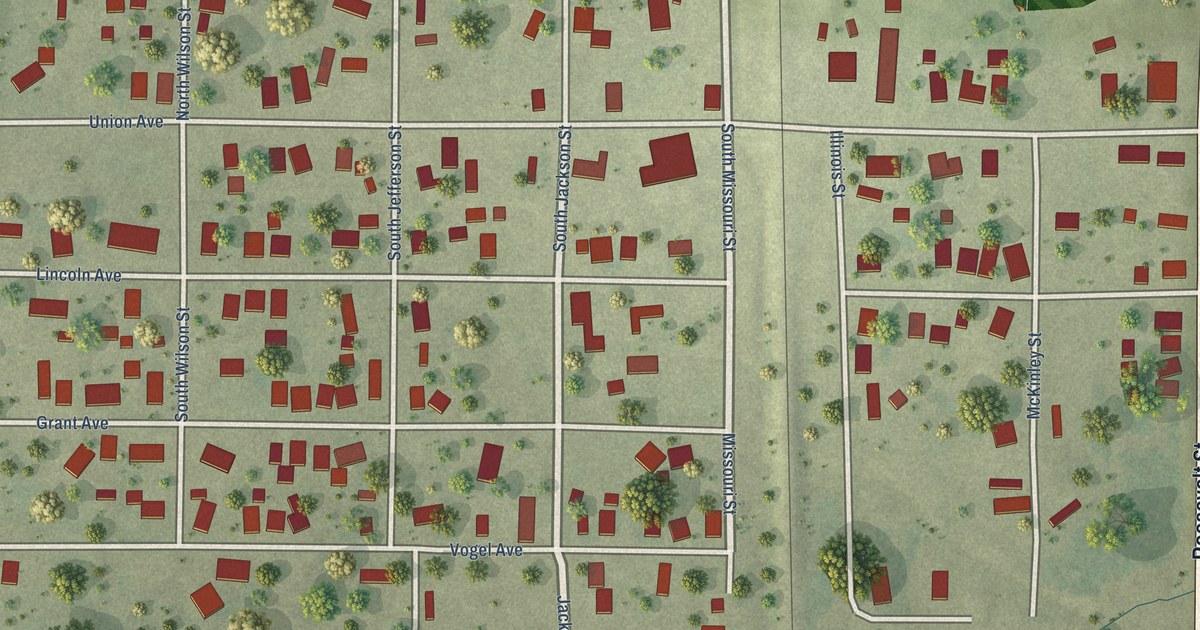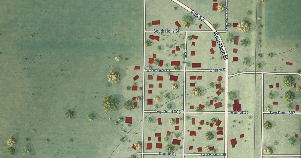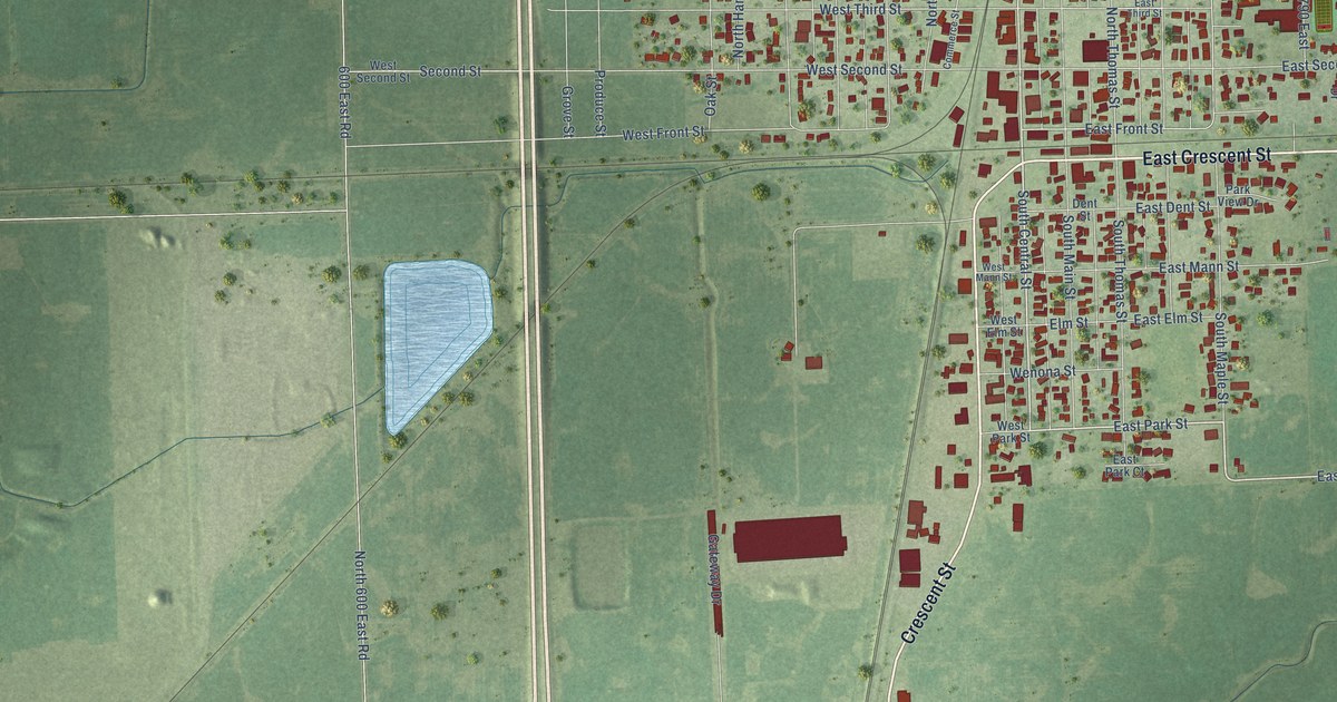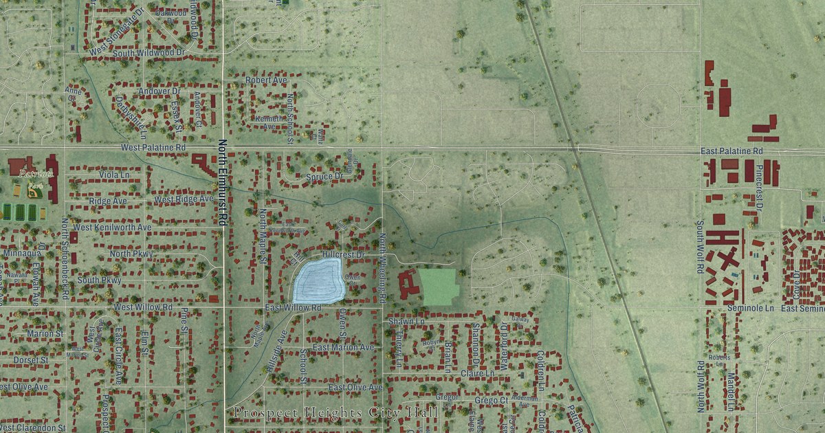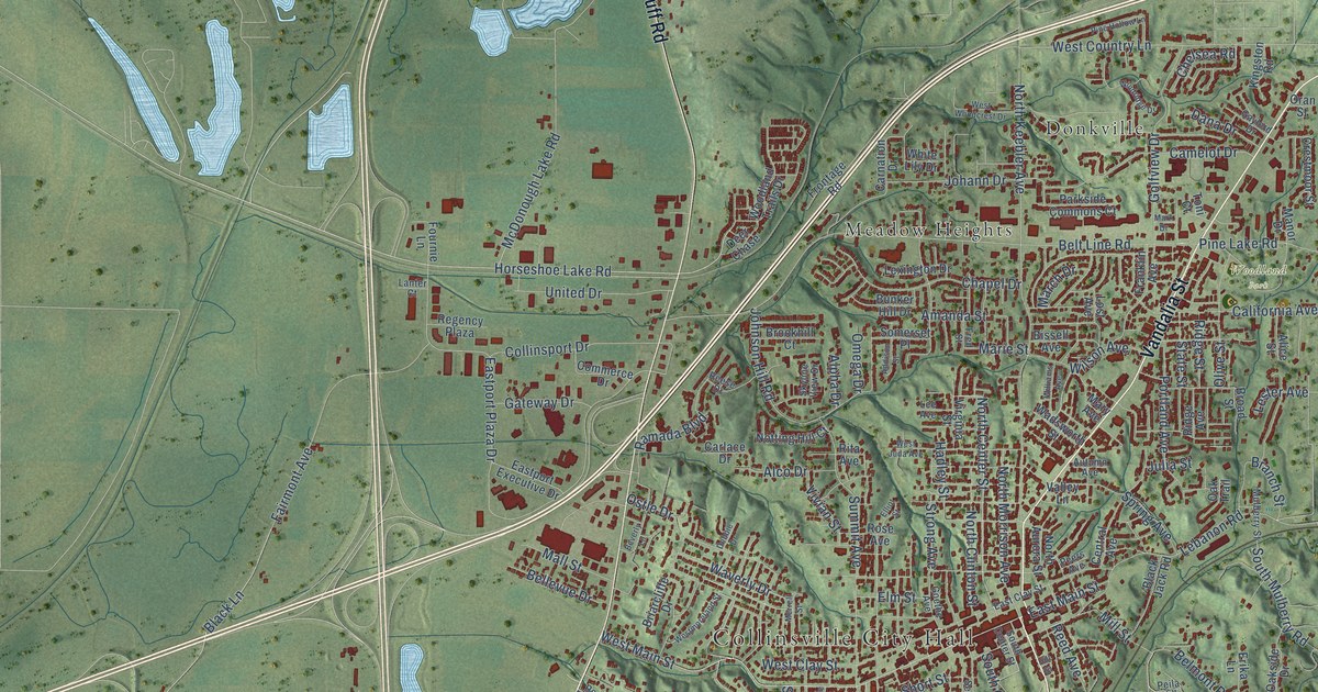
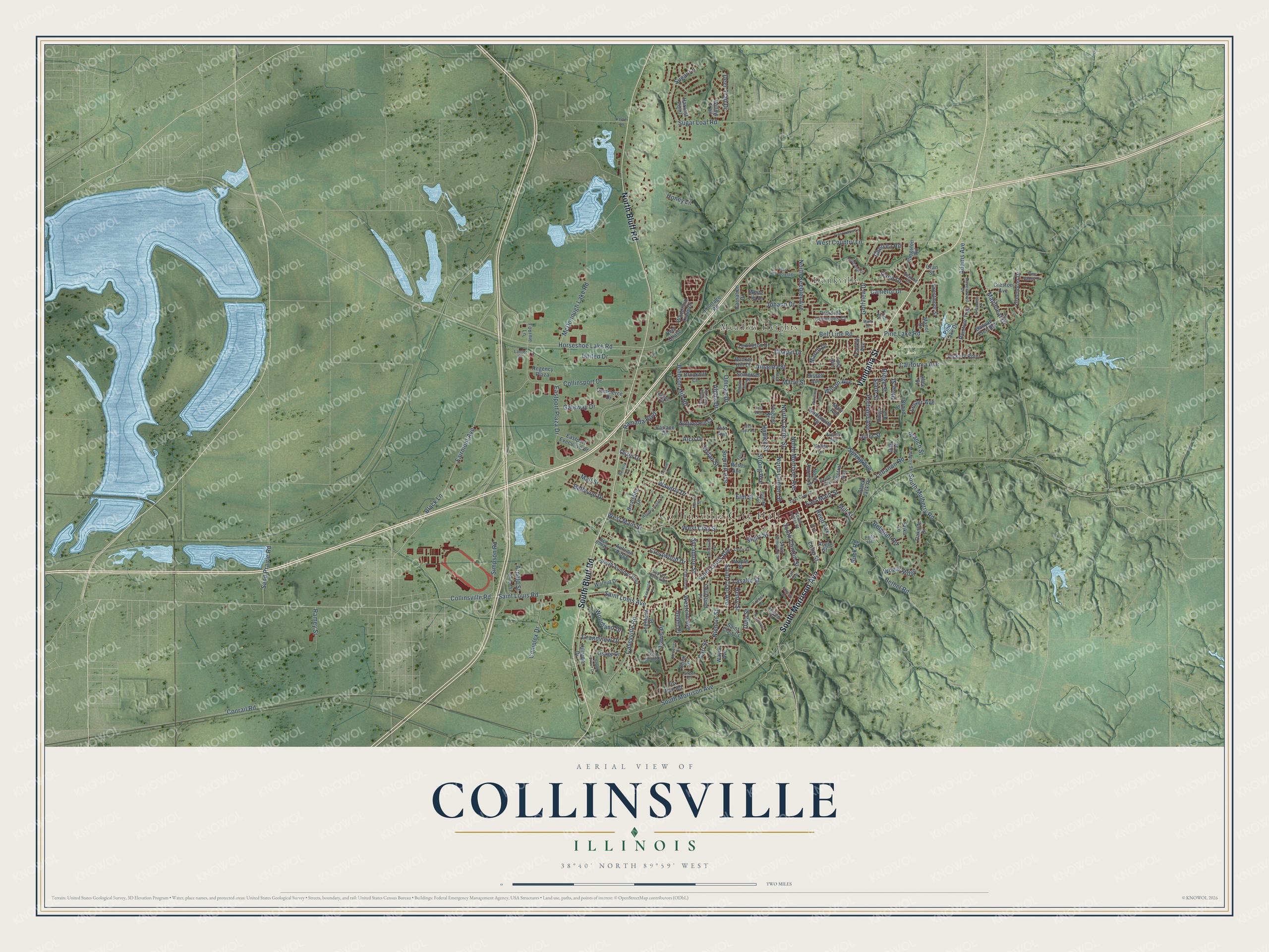
This beautifully detailed map of Collinsville, Illinois was created in 2026 using aerial imagery combined with modern topographical, census, street and landmark data. It’s a one-of-a-kind view of Collinsville that combines accurate data with a vintage aesthetic. The map shows every building in its true location, many of the roads carry their names, and the shaded topographic relief shows the shape of the land.
Explore an aerial view of Collinsville, Illinois
On the map you’ll find Collinsville City Hall, Woodland Park, Donkville, and Meadow Heights, along with Vandalia Street, South Bluff Road, South Morrison Avenue, North Bluff Road, West Main Street, Saint Louis Road, Caseyville Road, North Center Street, and more. If you look closely you can even find your house accurately drawn in its correct location. Zoom in on the preview to look for yours.
Did you know this piece of Collinsville, Illinois history?
From the Madison County Historical Society: "In 1800, Ephraim Connor settled in the area that would become Collinsville, making him the first American settler of what would become Madison County."
Take a closer look at the Collinsville map
Street and place names on the Collinsville, Illinois map
These names are printed on the map of Collinsville, Illinois.
Places: Collinsville City Hall, Woodland Park, Donkville and Meadow Heights.
Streets and roads: Vandalia Street, South Bluff Road, South Morrison Avenue, North Bluff Road, West Main Street, Saint Louis Road, Caseyville Road, North Center Street, Bethel Road, East Main Street, Collinsville Road, Horseshoe Lake Road.
More street names, A to Z
Adams Avenue, Addison Street, Alco Drive, Alice Street, Alpha Drive, Amanda Street, Angle Street, Apache Drive, Arnold Street, Autumn Avenue, Autumn Ridge, Banyan Tree Road, Bellevue Drive, Belmont Road, Belt Line Road, Beverly Lane, Bissell Avenue, Black Jack Road, Black Lane, Branch Street, Briarcliffe Drive, Broad Street, Brookhill Court, Bruce Street, Buck Road, Bunker Hill Drive, California Avenue, Camelot Drive, Carlace Drive, Carl Street, Carnation Drive, Cedar Street, Central Avenue, Chapel Drive, Chelsea Road, Collinsport Drive, Collinsville Avenue, Commerce Drive, Complex Drive, Conrail Road, Coral Drive, Courtland Place, Crestmoor Street, Creston Avenue, Crestwood Drive, Cypress Creek Road, Dana Drive, Davis Place, Debbie Drive, Deer Chase, Deer Trail Drive, Dina Street, East Clay Street, Eastport Executive Drive, Eastport Plaza Drive, Echo Wood Drive, Elliot Street, Elm Street, Erika Lane, Fairmont Avenue, Forest Drive, Fournie Lane, Fox Run Road, Franklin Avenue, Fred Street, Frontage Road, Gateway Drive, Gaylord Drive, Goethe Avenue, Golfview Drive, Grandview Drive, Greenbrier Drive, Greer Court, Hadley Street, Harvest Point, Helen Place, Henry Street, Hickory Point, Highland Place, Hillside Drive, Hill Street, Honey Lane, Idlerun Drive, Johann Drive, Johnson Hill Road, Julia Street, Keller Lane, Kenwood Lane, Kingston Road, Kroener Drive, Lanter Court, Lasalle Street, Lebanon Road, Lee Avenue, Lemontree Lane, Lester Avenue, Lexington Drive, Loop Street, Lost Avenue, Mall Street, Manor Drive, Mapleleaf Drive, Maple Street, March Drive, Marie Street, Mark Drive, Mary Avenue, McDonough Lake Road, Merrell Street, Mill Street, Mulberry Street, Nichols Street, North Aurora Street, North Clinton Street, North Keebler Avenue, North Morrison Avenue, Notting Hill Court, Oakside Drive, Oak Trail, Ofarrell Street, Olive Street, Omega Drive, Oran Street, Osage Drive, Ostle Drive, Parkside Commons Court, Peers Avenue, Peila Hill, Pine Hollow Lane, Pine Lake Drive, Pine Lake Road, Pine Valley Drive, Portland Avenue, Raintree Trail, Ramada Boulevard, Ramey Street, Ravenwood Drive, Red Bud Drive, Reed Avenue, Reese Drive, Regency Plaza, Ridge Avenue, Ridge Street, Rita Avenue, Rose Avenue, Saint Clair Avenue, Saint Clair Court, Saint Louis Avenue, Sand Prairie Road, Short Street, Simpson Road, Skyline View Drive, Somerset Place, South Center Street, South Clinton Street, South Crown Drive, South Mulberry Road, South Seminary Street, South Sumner Boulevard, Southwind, Spring Avenue, State Street, Strong Avenue, Sugar Lane, Sugar Loaf Road, Summit Avenue, Sycamore Street, Taft Avenue, Toni Court, United Drive, Valley Lane, Virginia Street, Vivian Street, Wadsworth Street, Walnut Drive, Waverly Drive, Wayne Avenue, West Clay Street, West Country Lane, Western Avenue, West Juda Avenue, Westmoreland Street, West Woodcrest Drive, Wheat Ridge, White Lily Drive, Williams Avenue, Willow Trail, Wilson Avenue, Windridge Drive, Woodland Drive, Woodland Trails Drive.
See the Collinsville, Illinois map on a wall
The Collinsville map as an 18 x 24 inch print in a black frame.

This beautifully detailed map of Collinsville makes an attractive addition to your office, library, or den, and it can even be used to teach children the geography and history of the area. It also makes a great gift for someone who left Collinsville and still calls it home. When you’re done exploring, click here to get your copy of the Collinsville map.