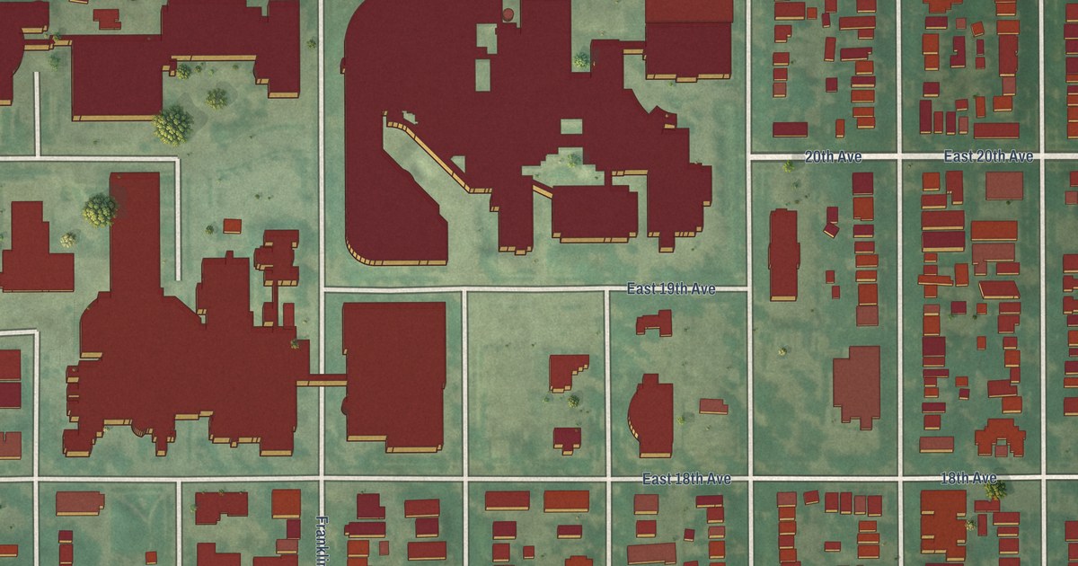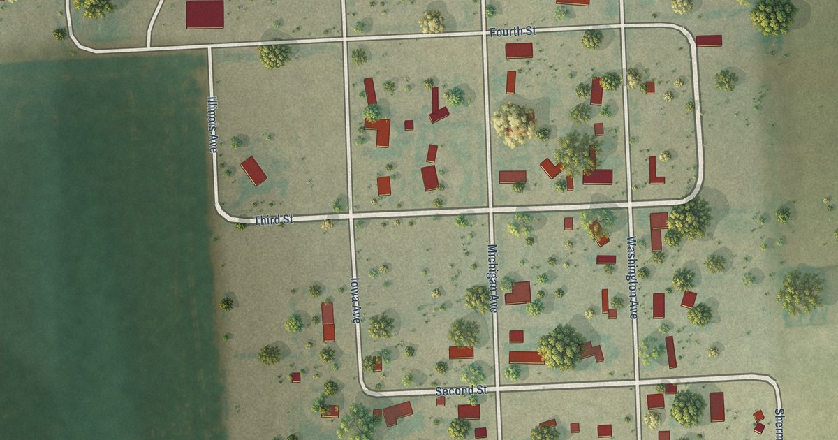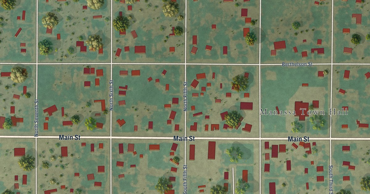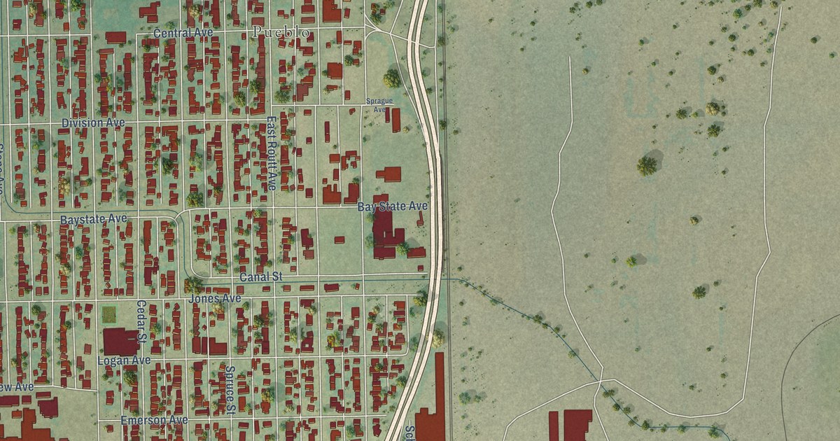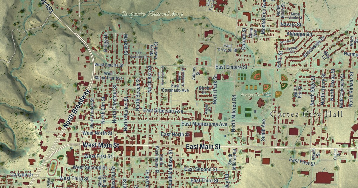
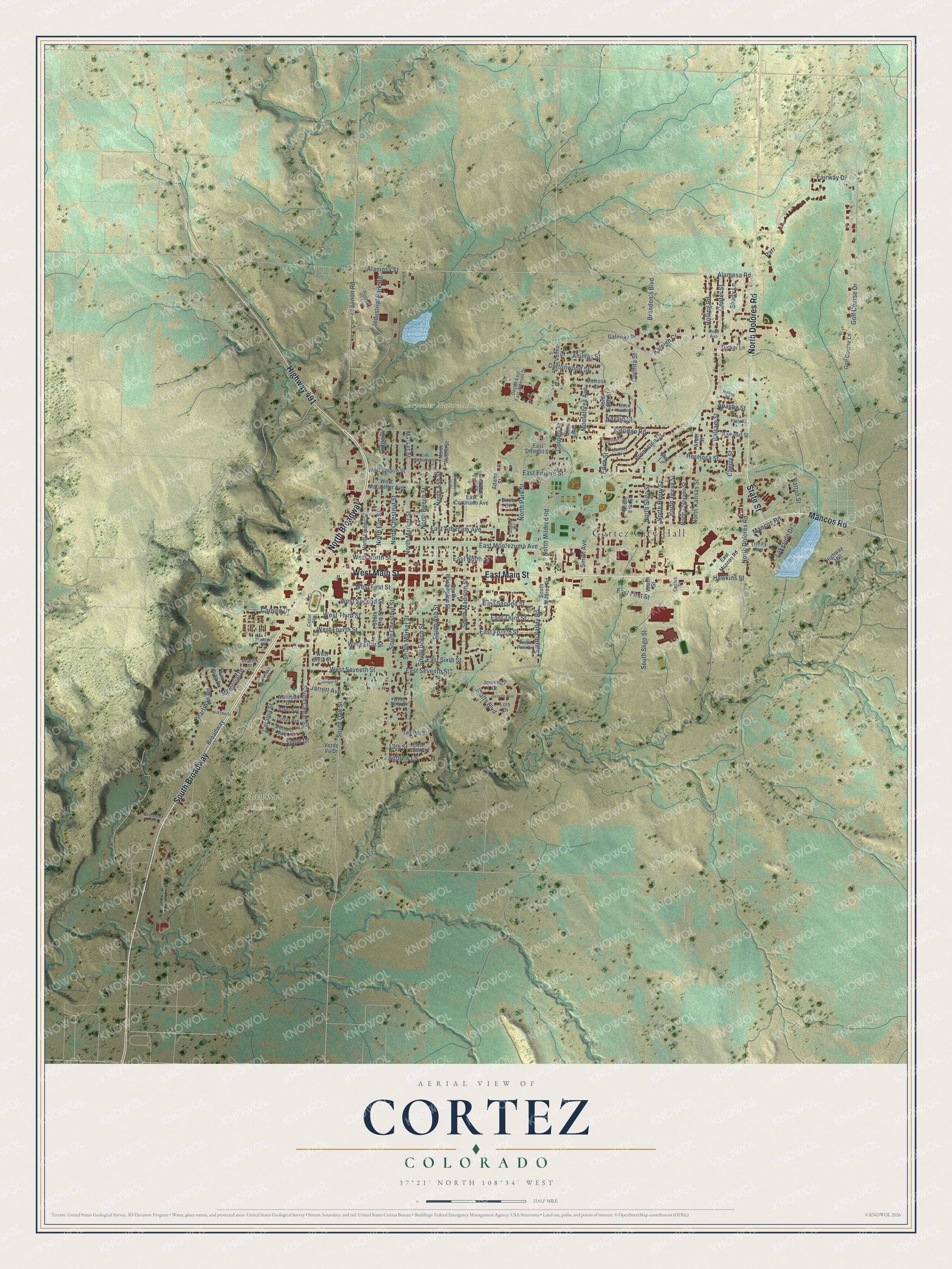
This beautifully detailed map of Cortez, Colorado was created in 2026 using aerial imagery combined with modern topographical, census, street and landmark data. It’s a one-of-a-kind view of Cortez that combines accurate data with a vintage aesthetic. The map shows every building in its true location, many of the roads carry their names, and the shaded topographic relief shows the shape of the land.
Explore an aerial view of Cortez, Colorado
On the map you’ll find Cortez City Hall, Carpenter Natural Area, Hawkins Preserve, Parque de Vida, North Broadway, and South Broadway, along with East Main Street, West Main Street, Mancos Road, North Dolores Road, Highway 491, State Street, and more. If you look closely you can even find your house accurately drawn in its correct location. Zoom in on the preview to look for yours.
Did you know this piece of Cortez, Colorado history?
From the Colorado Encyclopedia: "In 1886 the town of Cortez was laid out by M. J. Mack, an engineer for the Montezuma Valley Water Supply Company."
Take a closer look at the Cortez map
Street and place names on the Cortez, Colorado map
These names are printed on the map of Cortez, Colorado.
Places: Cortez City Hall, Carpenter Natural Area, Hawkins Preserve and Parque de Vida.
Streets and roads: North Broadway, East Main Street, West Main Street, Mancos Road, South Broadway, North Dolores Road, Highway 491, State Street, Andrew Lane, South Chestnut Street, North Chestnut Street, South Market Street.
More street names, A to Z
13th Street, Adams Street, Alameda Drive, Alamosa Road, Alamosa Street, Aldridge Road, Alma Avenue, Animas Street, Apache Street, Apple Drive, Arbor Street, Arrowhead Lane, Aspen Drive, Baker Avenue, Balsam Street, Birch Drive, Blueberry Hill Loop, Bluffs Boulevard, Brandon's Boulevard, Broadway, Brookside Drive, Cactus Street, Canyon Drive, Catalpa Street, Cedar Street, Center Street, Cherry Street, Cochita Street, Colfax Avenue, Cornett Street, Cottonwood Street, Detroit Avenue, Doctor East East Johnson Drive, East 13th Street, East Arbecam Avenue, East Carpenter Street, East Coronado Avenue, East Driscoll Street, East Empire Street, East First Street, East Fourth Street, East Mancos Road, East Montezuma Avenue, East North Street, East Second Street, East Seventh Street, East Sixth Street, East Third Street, Edith Street, Fairway Drive, Garrison Drive, Gateway Drive, Geralds Way, Golf Course Drive, Golf Course Lane, Hartman Road, Hawkins Street, Helms Place, Hermosa Street, Highway 160, Industrial Park Road, Jarrett Avenue, Jennings Drive, Jordan Place, Juniper Place, Kaleigh Cr, Knoll Avenue, Lakeside Drive, La Plata Street, Lebanon Road, Livesay Drive, Lois Lane, Market Street, May Lane, McElmo Street, Melrose Street, Memorial Drive, Mesa Verde Street, Montelores Avenue, Navajo Street, North Ash Street, North Austin Street, North Beech Street, North Colorado Street, North Edith Street, North Elm Street, North Erin Street, North Harrison Street, North Henry Street, North Kansas Street, North Linden Street, North Market Street, North Mildred Road, North Park Street, North Sligo Street, North Texas Street, North Washington Street, Parr, Patton Street, Rampart Street, Ridge Drive, Rolling Road, San Juan Drive, Seventh Street, Shady Lane, Smith Avenue, South Ash Street, South Beech Street, South Cedar Street, South Elm Street, South Madison Street, South Mildred Road, South Oak Street, South Park Drive, South Sligo Street, South Valley Road, South Washington Street, Stratton Drive, Trinity Avenue, Tucker Lane, Twelfth Street, Veach Street, Velma Street, Verde Vu Drive, West Empire Street, West Fifth Street, West First Street, West Fourth Street, West Macarthur Avenue, West North Street, West Second Street, West Seventh Street, West Sixth Street, West Tenth Street, West Third Street.
See the Cortez, Colorado map on a wall
The Cortez map as an 18 x 24 inch print in a black frame.

This beautifully detailed map of Cortez makes an attractive addition to your office, library, or den, and it can even be used to teach children the geography and history of the area. It also makes a great gift for anyone with Cortez roots. When you’re done exploring, click here to get your copy of the Cortez map.