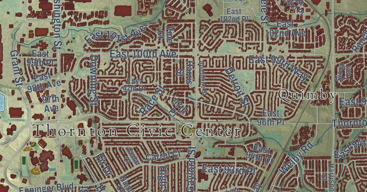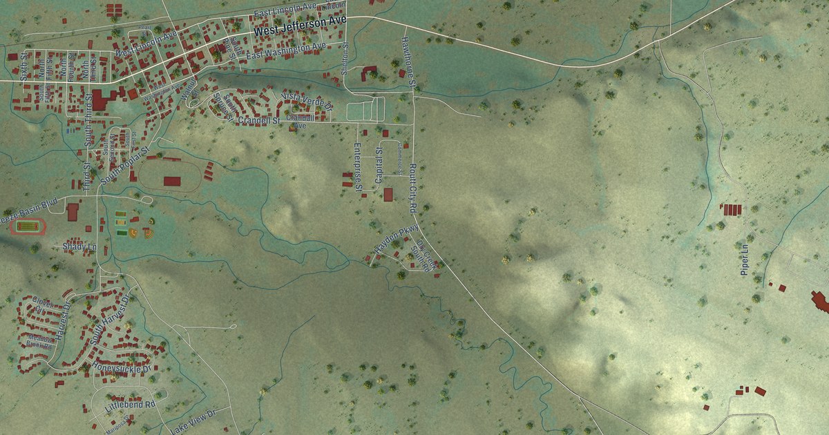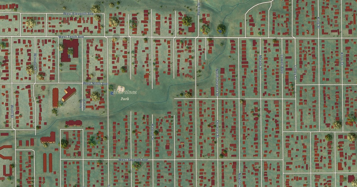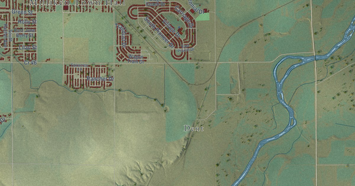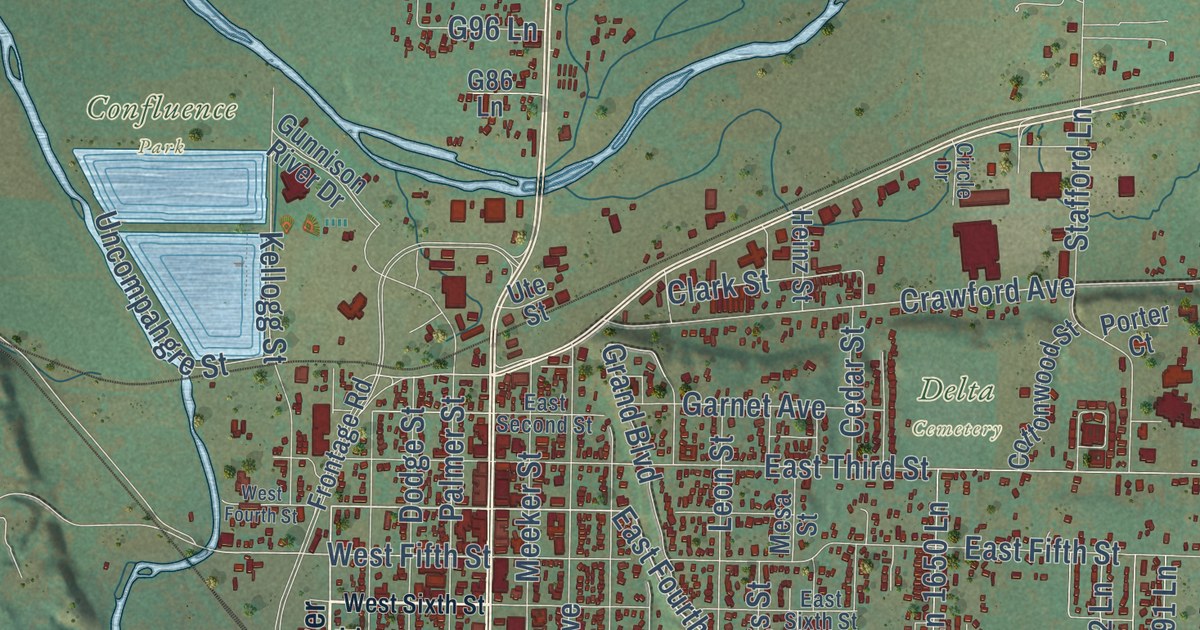
This beautifully detailed map of Delta, Colorado was created in 2026 using aerial imagery combined with modern topographical, census, street and landmark data. It’s a one-of-a-kind view of Delta that combines accurate data with a vintage aesthetic. The map shows every building in its true location, many of the roads carry their names, and the shaded topographic relief shows the shape of the land.
Explore an aerial view of Delta, Colorado
On the map you’ll find North Delta, Confluence Park, Delta Cemetery, and Riverbend Park, along with South Main Street, Main Street, 1625 Road, East Fourth Street, East 16th Street, 1675 Road, Hartig Drive, West Fifth Street, and more. If you look closely you can even find your house accurately drawn in its correct location. Zoom in on the preview to look for yours.
Did you know this piece of Delta, Colorado history?
From the Colorado Encyclopedia: "Thanks to fundraising efforts by the Delta Women’s Club, the town’s first library went up in 1911."
Take a closer look at the Delta map
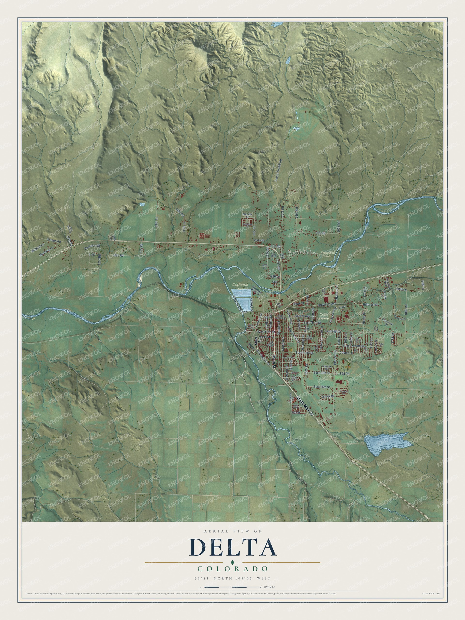
Street and place names on the Delta, Colorado map
These names are printed on the map of Delta, Colorado.
Places: North Delta, Confluence Park, Delta Cemetery and Riverbend Park.
Streets and roads: South Main Street, Main Street, 1625 Road, East Fourth Street, East 16th Street, 1675 Road, Hartig Drive, West Fifth Street, Crawford Avenue, East 13th Street, East Ninth Street, Confluence Drive.
More street names, A to Z
20th Street, 1200 Road, 1250 Road, 1275 Lane, 1325 Road, 1355 Lane, 1400 Lane, 1400 Road, 1525 Road, 1550 Road, 1560 Road, 1565 Road, 1575 Road, 1600 Road, 1650 Lane, 1682 Lane, 1691 Lane, 1710 Lane, 1720 Lane, 1725 Road, 1730 Lane, 1740 Lane, 1778 Lane, 1800 Drive, 1800 Road, Alkali Basin Road, Antelope Street, Bluff Place, Bluff Street, Buckskin Street, Cedar Street, Cherry Lane, Circle Drive, Clark Street, Clearview Drive, Cottonwood Street, Devils Thumb Road, Dodge Street, East 19th Street, East Fifth Street, East Second Street, East Seventh Street, East Sixth Street, East Tenth Street, East Third Street, Eaton Avenue, F25 Road, Falcon Road, Frontage Road, Frontier Road, G86 Lane, G95 Lane, G96 Lane, Garnet Avenue, Grand Avenue, Grand Boulevard, Guadelupe Street, Gunnison River Drive, H20 Lane, H25, H25 Road, H38 Road, H50 Road, H75 Road, Hastings Street, Heinz Street, Hillcrest Drive, Howard Street, Idarado Street, Industrial Boulevard, Kellogg Street, Labor Street, Leon Street, Lynx Street, Meeker Street, Mesa Street, Mill Street, Mustang Lane, Nu Vue Street, Palmer Street, Pioneer Circle, Pioneer Road, Porter Court, Powerline Road, Riley Lane, Roubideau Street, Silver Street, Stafford Lane, Sunrise Drive, Trinity Way, Uncompahgre Street, Ute Street, Villa Street, Vista Street, West Fourth Street, West Sixth Street, Wildcat Lane, Wildlife Lane.
See the Delta, Colorado map on a wall
The Delta map as an 18 x 24 inch print in a black frame.

This beautifully detailed map of Delta makes an attractive addition to your office, library, or den, and it can even be used to teach children the geography and history of the area. It also makes a great gift for anyone with Delta roots. When you’re done exploring, click here to get your copy of the Delta map.