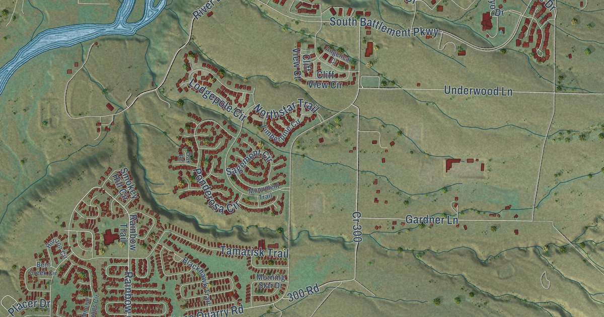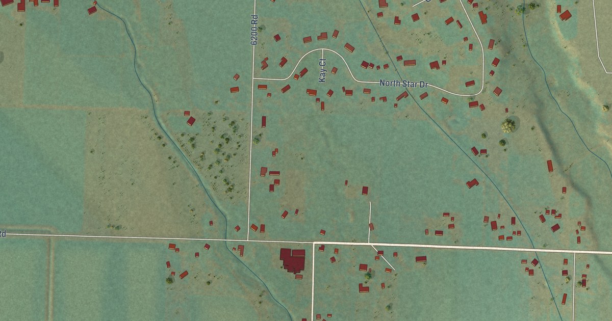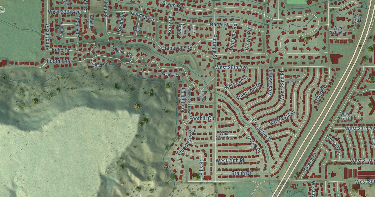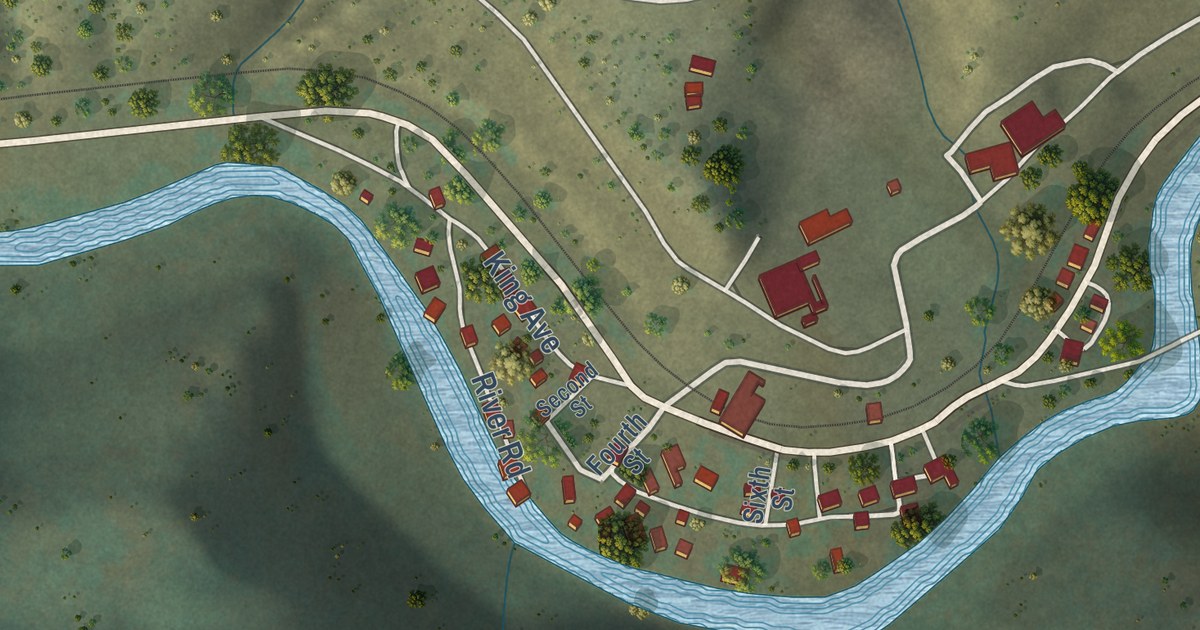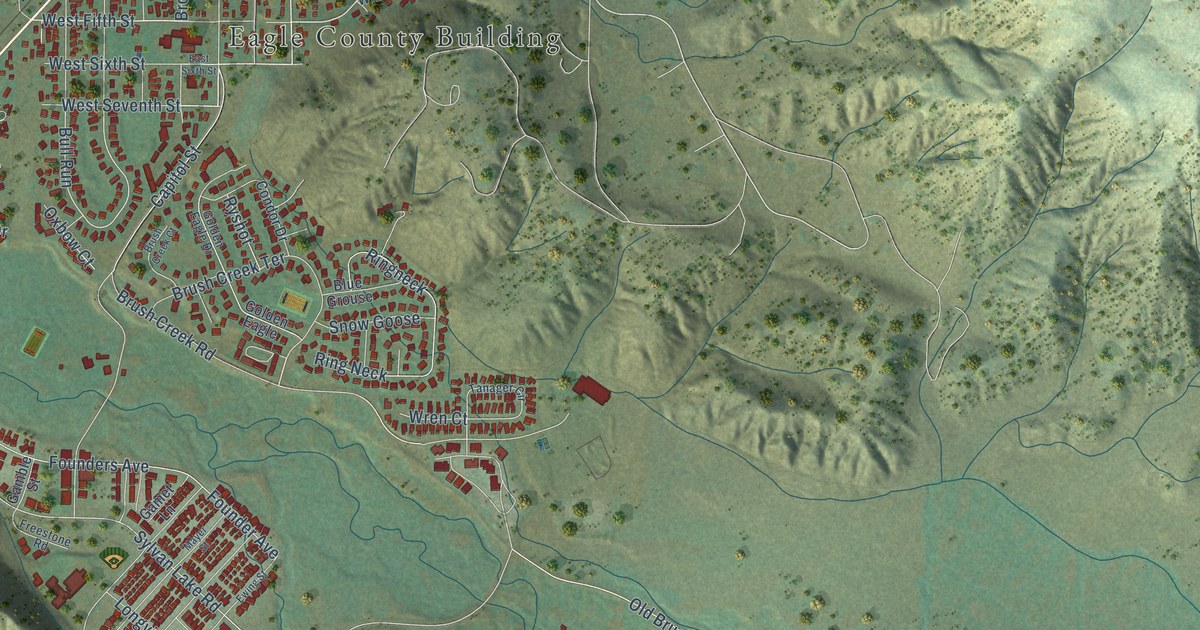
This beautifully detailed map of Eagle, Colorado was created in 2026 using aerial imagery combined with modern topographical, census, street and landmark data. It’s a one-of-a-kind view of Eagle that combines accurate data with a vintage aesthetic. The map shows every building in its true location, many of the roads carry their names, and the shaded topographic relief shows the shape of the land.
Explore an aerial view of Eagle, Colorado
On the map you’ll find Eagle County Building, along with Grand Avenue, Capitol Street, East Third Street, West Fifth Street, Third Street, Church Street, Brush Creek Terrace, Second Street, Polar Star Drive, Old Brush Creek Road, Sylvan Lake Road, and more. If you look closely you can even find your house accurately drawn in its correct location. Zoom in on the preview to look for yours.
Did you know this piece of Eagle, Colorado history?
From Place Names in Colorado: "EAGLE (Eagle) Named after the county. It was first called CASTLE because of rock formation resembling a castle nearby. Later called MC DONALD for an early settler."
Take a closer look at the Eagle map
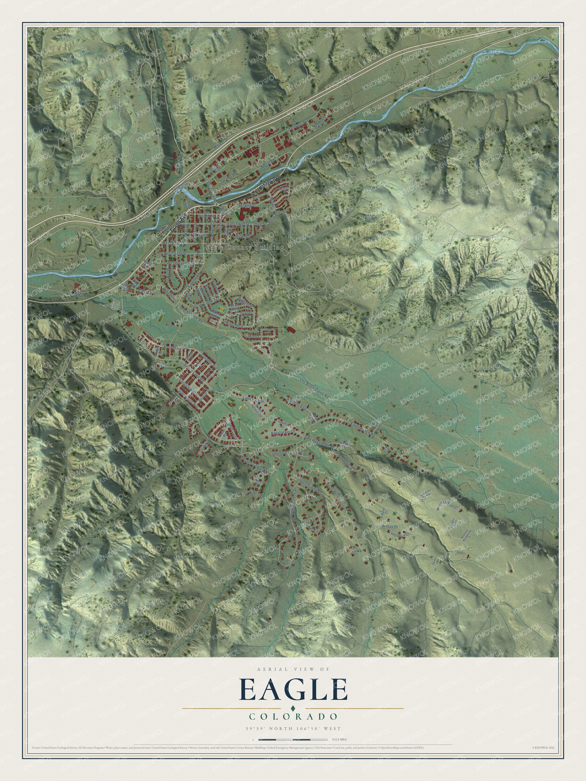
Street and place names on the Eagle, Colorado map
These names are printed on the map of Eagle, Colorado.
Places: Eagle County Building.
Streets and roads: Grand Avenue, Capitol Street, East Third Street, West Fifth Street, Third Street, Church Street, Brush Creek Terrace, Second Street, Polar Star Drive, Old Brush Creek Road, Sylvan Lake Road, Bull Run.
More street names, A to Z
Abrams Creek Drive, Aidan Road, Arroyo Drive, Aster Court, Avalanche Pk Way, Big Sage Court, Blue Grouse, Bluffs Drive, Bluffs Road, Broadway Street, Brooks Lane, Brush Creek Court, Brush Creek Road, Castle Drive, Chambers Avenue, Clover Lane, Condor Drive, Eagle Ranch Road, East Fourth Street, East Haystacker Drive, East Second Street, East Sixth Street, Eby Creek Road, Ewing Street, Fairgrounds Road, Fir Court, Founder Avenue, Founders Avenue, Fourth of July Road, Freestone Road, Gamble Street, Gamet Lane, Golden Eagle, Golden Eagle Drive, Greenhorn Avenue, Harrier Circle, Harvester Court, Haystacker Drive, Hernage Creek Drive, Hilltop Street, Hockett Street, Hollyhock Court, Horton Street, Howard Street, Iris Place, King Road, Lauren Lane, Lime Park Drive, Lone Spr, Longview Avenue, Market Street, Marmot Lane, Mayer Street, Mill Road, Mount Jackson Court, New York Mountain Road, Nogal Road, North Penstemon Lane, Ouzel Lane, Oxbow Court, Palmer Loop, Pearch Street, Ping Lane, Pond Road, Prince Alley, Prospect Pk Road, Ring Neck, Ringneck, Robbins Egg, Robins Egg Lane, Ryshot, Sawmill Circle, Seabry Street, Seven Hermits Drive, Silver Spr, Snow Goose, Swatch Road, Tanager Circle, Thresher Court, Violet Lane, Wall Street, West Foxglove Lane, West Seventh Street, West Sixth Street, Whiting Road, Wren Court.
See the Eagle, Colorado map on a wall
The Eagle map as an 18 x 24 inch print in a black frame.

This beautifully detailed map of Eagle makes an attractive addition to your office, library, or den, and it can even be used to teach children the geography and history of the area. It also makes a great gift for anyone with Eagle roots. When you’re done exploring, click here to get your copy of the Eagle map.